Revolutionizing Precision Agriculture: How Farmonaut’s Smart Farming Tools Boost Crop Yield and Sustainability
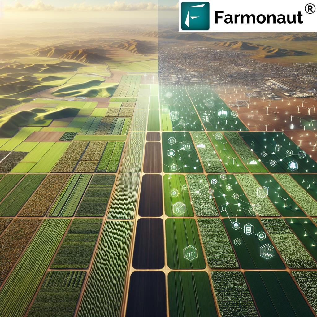
“Farmonaut’s precision agriculture software analyzes satellite imagery to optimize crop yield across 5+ key farming stages.”
In the ever-evolving landscape of modern agriculture, we at Farmonaut are at the forefront of a technological revolution that’s reshaping the way we approach farming. Our innovative precision agriculture software is not just a tool; it’s a game-changer in the quest for sustainable and profitable farming practices. As we delve into the world of smart farming, we’ll explore how our cutting-edge solutions are empowering agricultural consultants, service providers, and farmers to make data-driven decisions that significantly boost crop yields while promoting environmental stewardship.

The Power of Precision Agriculture Software
At the heart of our innovative approach lies our state-of-the-art precision agriculture software. This powerful platform integrates advanced satellite imagery analysis with sophisticated data analytics to provide unparalleled insights into every aspect of crop management. By harnessing the power of technology, we’re able to offer a comprehensive suite of farm management tools that address the complex challenges faced by modern agriculturists.
- Real-time crop monitoring: Our software utilizes the latest satellite imagery to provide up-to-date information on crop health, growth patterns, and potential issues.
- Data-driven decision making: By analyzing vast amounts of agricultural data, our platform enables users to make informed decisions based on concrete evidence rather than guesswork.
- Resource optimization: Through precise mapping and analysis, we help farmers optimize their use of water, fertilizers, and other vital resources, leading to significant cost savings and reduced environmental impact.
To get started with our revolutionary platform, simply click on the button below:
Harnessing Satellite Imagery for Crop Monitoring
One of the cornerstones of our precision agriculture approach is the use of advanced satellite imagery for crop monitoring. This technology allows us to provide our users with a bird’s-eye view of their fields, offering insights that were previously unattainable through traditional farming methods.
- Vegetation health analysis: Our software uses specialized indices like NDVI (Normalized Difference Vegetation Index) to assess crop health and vigor across entire fields.
- Early stress detection: By analyzing subtle changes in crop reflectance, we can identify areas of stress before they become visible to the naked eye, allowing for prompt intervention.
- Historical data comparison: Our platform enables users to compare current crop conditions with historical data, providing valuable context for decision-making.
Variable Rate Application Maps: Precision in Action
One of the most powerful features of our precision agriculture software is the ability to generate variable rate application (VRA) maps. These maps are instrumental in optimizing the use of inputs such as seeds, fertilizers, and pesticides across different zones within a field.
- Customized application rates: Our VRA maps allow for the precise application of inputs based on the specific needs of different areas within a field, maximizing efficiency and minimizing waste.
- Integration with farm equipment: Our maps are compatible with a wide range of precision agriculture machinery, enabling seamless implementation of VRA strategies.
- Dynamic adjustments: As field conditions change throughout the growing season, our software allows for real-time adjustments to application rates, ensuring optimal resource utilization at all times.
“Farmonaut’s platform integrates 3D mapping, stress detection, and VRA tools, offering 10+ features for sustainable farming practices.”
Soil Data Analytics: The Foundation of Smart Farming
Understanding soil properties is crucial for successful crop management. Our soil data analytics tools provide in-depth insights into soil health, fertility, and composition, enabling farmers to make informed decisions about soil management practices.
- Comprehensive soil mapping: Our software generates detailed soil maps that highlight variations in soil properties across fields.
- Nutrient analysis: By integrating soil test results with our analytics platform, we provide targeted recommendations for nutrient management.
- Erosion risk assessment: Our advanced algorithms can identify areas at risk of soil erosion, allowing for proactive conservation measures.
To explore our soil data analytics features and more, download our mobile apps:
Field Benchmarking: Measuring Success and Identifying Opportunities
Our field benchmarking tools allow agricultural consultants and service providers to compare the performance of different fields, crops, and management practices. This valuable feature enables data-driven decision-making and continuous improvement in farming operations.
- Performance metrics: Our software tracks key performance indicators such as yield, input efficiency, and profitability across multiple fields and seasons.
- Comparative analysis: Users can easily compare the performance of different fields or management strategies, identifying best practices and areas for improvement.
- Trend identification: By analyzing historical data, our platform helps identify long-term trends and patterns in field performance, guiding strategic planning efforts.

3D Mapping for Topography Analysis
Our innovative 3D mapping technology takes precision agriculture to new heights by providing detailed topographical analysis of farmland. This feature is particularly valuable for understanding how terrain affects crop growth, water flow, and soil erosion.
- Elevation modeling: Our software creates accurate 3D models of field topography, highlighting variations in elevation across the landscape.
- Water flow analysis: By simulating water movement across the terrain, we help identify potential drainage issues or areas prone to waterlogging.
- Erosion risk mapping: Our 3D maps highlight areas at higher risk of soil erosion, allowing for targeted conservation efforts.
Scouting Tools for Stress Detection
Early detection of crop stress is crucial for preventing yield loss and maintaining healthy crops. Our advanced scouting tools leverage satellite imagery and machine learning algorithms to identify areas of potential stress before they become visible to the naked eye.
- Automated stress alerts: Our system generates alerts when it detects patterns indicative of crop stress, allowing for rapid response.
- Geo-tagged observations: Field scouts can use our mobile app to record and geo-tag observations, creating a comprehensive record of field conditions.
- Integration with satellite data: By combining on-the-ground observations with satellite imagery, we provide a holistic view of crop health and stress factors.
Customizable Solutions for Agricultural Roles
We understand that different agricultural professionals have unique needs and challenges. That’s why our platform offers customizable solutions tailored to various roles within the agricultural ecosystem.
- For agricultural consultants: Our comprehensive analytics and reporting tools enable consultants to provide data-driven recommendations to their clients.
- For service providers: Our VRA mapping and equipment integration features allow service providers to offer precision application services with ease.
- For growers: Our user-friendly interface and mobile apps make it simple for farmers to access critical insights about their crops and fields on the go.
- For agricultural cooperatives: Our benchmarking tools help cooperatives identify best practices and improve overall productivity across member farms.
Explore our API for custom integrations:
Seamless Monitoring of VRA Executions
Our platform doesn’t just stop at creating variable rate application maps; it also provides tools for monitoring the execution of VRA strategies across various farming operations.
- Real-time tracking: Monitor the progress of VRA applications in real-time, ensuring that prescriptions are being followed accurately.
- Post-application analysis: Compare actual application data with prescribed rates to identify any discrepancies and improve future prescriptions.
- Integration across operations: From seeding to crop protection, our system provides a unified platform for monitoring all VRA executions throughout the growing season.
API Integration and Data Compatibility
In today’s interconnected world, we recognize the importance of seamless data integration across various agricultural systems. Our platform offers robust API integration capabilities and supports multiple data formats to enhance productivity and decision-making.
- GraphQL API: Our flexible GraphQL API allows for efficient and precise data queries, enabling developers to integrate our platform with other agricultural software solutions.
- Multi-format support: We support a wide range of data formats commonly used in agriculture, ensuring compatibility with existing farm management systems and machinery.
- Secure data exchange: Our API utilizes industry-standard security protocols to ensure the safe transmission of sensitive agricultural data.
Shaping the Future of Sustainable Farming
At Farmonaut, we’re not just providing tools; we’re shaping the future of sustainable and profitable farming practices. Our precision agriculture solutions are designed to meet the challenges of modern agriculture while promoting environmental stewardship.
- Resource optimization: By enabling precise application of inputs, we help reduce waste and minimize the environmental impact of farming operations.
- Biodiversity preservation: Our stress detection and soil health monitoring tools support practices that promote biodiversity and soil health.
- Carbon footprint reduction: Through optimized resource use and improved farming practices, our platform contributes to reducing the overall carbon footprint of agricultural operations.
Precision Agriculture Tools Comparison
| Tool Name | Primary Function | Key Features | Data Source | Potential Impact on Crop Yield |
|---|---|---|---|---|
| Satellite Imagery Analysis | Crop health monitoring | NDVI mapping, stress detection | Satellite imagery | Up to 15% increase |
| Variable Rate Application Mapping | Optimized input application | Custom prescription maps, equipment integration | Satellite imagery, soil data | Up to 20% increase |
| 3D Topography Mapping | Terrain analysis | Elevation modeling, water flow simulation | Satellite imagery, LiDAR data | Up to 10% increase |
| Stress Detection Scouting | Early problem identification | Automated alerts, geo-tagged observations | Satellite imagery, field data | Up to 25% increase |
| Soil Data Analytics | Soil health assessment | Nutrient mapping, erosion risk analysis | Soil samples, satellite imagery | Up to 18% increase |
Conclusion: Embracing the Future of Agriculture
As we look to the future of agriculture, it’s clear that precision farming tools like those offered by Farmonaut will play an increasingly vital role in ensuring food security, sustainability, and profitability for farmers worldwide. By harnessing the power of satellite imagery, advanced analytics, and user-friendly interfaces, we’re making precision agriculture accessible to farms of all sizes.
We invite agricultural consultants, service providers, and farmers to join us in this agricultural revolution. Together, we can create a more sustainable, productive, and resilient farming industry that meets the challenges of the 21st century and beyond.
FAQ Section
Q: How does Farmonaut’s precision agriculture software improve crop yields?
A: Our software uses satellite imagery and advanced analytics to provide real-time crop health monitoring, optimize resource allocation through variable rate application maps, and enable early stress detection. These features collectively contribute to improved decision-making and more efficient farming practices, potentially increasing crop yields by up to 25%.
Q: Can Farmonaut’s platform integrate with existing farm equipment?
A: Yes, our platform is designed to integrate seamlessly with a wide range of precision agriculture machinery. Our variable rate application maps and other data outputs are compatible with most modern farm equipment, allowing for easy implementation of precision farming strategies.
Q: How does the 3D mapping feature benefit farmers?
A: Our 3D mapping technology provides detailed topographical analysis of farmland, helping farmers understand how terrain affects crop growth, water flow, and soil erosion. This information is crucial for optimizing field layouts, improving drainage, and implementing targeted conservation measures.
Q: Is Farmonaut’s platform suitable for small-scale farmers?
A: Absolutely! We’ve designed our platform to be scalable and accessible to farms of all sizes. Our user-friendly interface and mobile apps make it easy for small-scale farmers to access powerful precision agriculture tools without the need for expensive hardware investments.
Q: How does Farmonaut contribute to sustainable farming practices?
A: Our platform promotes sustainability by enabling more efficient use of resources like water and fertilizers, reducing waste and environmental impact. Additionally, our soil health monitoring and biodiversity preservation features support practices that enhance long-term soil fertility and ecosystem health.


