Mapping Cotton Farms in Maharashtra: Advancing Agriculture with Satellite Technology

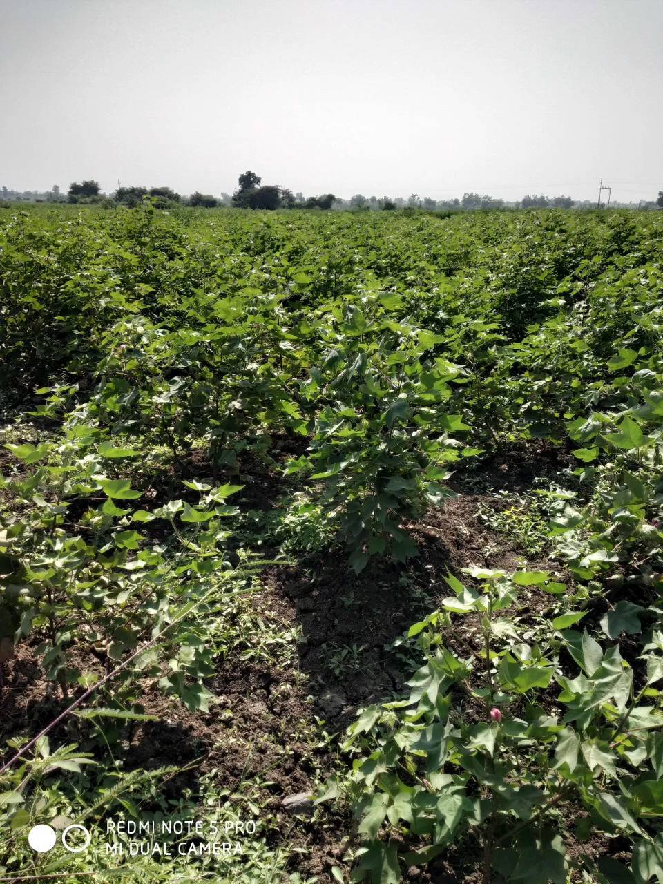
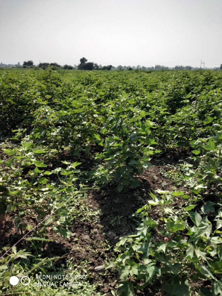
At Farmonaut, we’re excited to share our latest achievement in the realm of precision agriculture. We’ve successfully mapped more cotton farms in Maharashtra, India, using our cutting-edge satellite technology. This milestone represents a significant step forward in our mission to revolutionize farming practices and empower farmers with data-driven insights.
The Importance of Cotton Farming in India
Cotton farming plays a crucial role in India’s agricultural landscape and economy. As one of the world’s largest producers and exporters of cotton, India’s cotton industry supports millions of farmers and contributes significantly to the country’s GDP. Maharashtra, in particular, is a key player in this sector, with vast areas dedicated to cotton cultivation.
Challenges in Cotton Farming
Despite its importance, cotton farming in India faces numerous challenges:
- Unpredictable weather patterns
- Pest infestations
- Soil degradation
- Water scarcity
- Market fluctuations
These challenges underscore the need for innovative solutions to support farmers and enhance productivity. This is where Farmonaut’s satellite-based farm management solutions come into play.
Farmonaut’s Approach to Cotton Farm Mapping
Our recent initiative to map more cotton farms in Maharashtra leverages advanced satellite imagery and remote sensing technologies. This approach offers several advantages over traditional mapping methods:
- Accuracy: Satellite imagery provides highly accurate and up-to-date information about farm boundaries, crop health, and soil conditions.
- Efficiency: We can map large areas quickly without the need for extensive ground surveys.
- Cost-effectiveness: Satellite-based mapping is more economical than traditional methods, especially for large-scale projects.
- Non-invasive: Our mapping process doesn’t disturb ongoing farming activities.
- Frequent updates: We can provide regular updates on crop progress throughout the growing season.
The Technology Behind Our Mapping Process
At the heart of our cotton farm mapping initiative is our advanced satellite-based crop health monitoring system. Here’s how it works:
- Data Acquisition: We utilize multispectral satellite images to capture detailed information about cotton farms in Maharashtra.
- Image Processing: Our AI algorithms process these images to extract valuable data about crop health, soil moisture, and other critical metrics.
- Analysis: The processed data is analyzed to generate insights about farm boundaries, crop growth stages, and potential issues.
- Visualization: The results are presented in user-friendly maps and reports, accessible through our web and mobile applications.
This technology allows us to provide farmers with a comprehensive view of their cotton fields, enabling them to make informed decisions about irrigation, fertilization, and pest management.
Benefits for Cotton Farmers in Maharashtra
Our cotton farm mapping initiative offers numerous benefits to farmers in Maharashtra:
- Improved Crop Monitoring: Farmers can track the health and growth of their cotton crops in real-time, allowing for early detection of issues.
- Optimized Resource Use: By providing detailed insights into soil moisture and crop health, we help farmers optimize their use of water, fertilizers, and pesticides.
- Enhanced Decision Making: With access to accurate, up-to-date information, farmers can make more informed decisions about planting, harvesting, and crop management.
- Increased Yields: By addressing issues promptly and optimizing resources, farmers can potentially increase their cotton yields.
- Sustainability: Our technology promotes more sustainable farming practices by encouraging efficient resource use and reducing environmental impact.
The Role of Soil in Cotton Cultivation
Cotton cultivation soil plays a crucial role in the success of cotton farming. Our satellite-based monitoring system provides valuable insights into soil conditions, helping farmers optimize their soil management practices:
- Soil Moisture Monitoring: We track soil moisture levels, helping farmers make informed decisions about irrigation.
- Soil Health Assessment: Our technology can detect signs of soil degradation or nutrient deficiencies, allowing for timely interventions.
- Soil Type Mapping: We can identify different soil types across a farm, enabling farmers to tailor their management practices accordingly.
By providing this detailed soil information, we empower farmers to maintain optimal soil conditions for cotton growth, potentially leading to improved yields and more sustainable farming practices.
Farmonaut’s Comprehensive Suite of Tools
Our cotton farm mapping initiative is just one part of our comprehensive suite of agricultural technology solutions. Here’s an overview of our key offerings:
- Jeevn AI Advisory System: Our AI-driven farm advisory tool provides personalized recommendations based on real-time data and expert knowledge.
- Blockchain-Based Traceability: We offer end-to-end traceability solutions for the cotton supply chain, enhancing transparency and trust.
- Fleet and Resource Management: Our tools help agribusinesses optimize their logistics and resource allocation.
- Carbon Footprinting: We provide real-time data on carbon emissions, supporting sustainable farming practices.
To learn more about these solutions and how they can benefit your farming operations, visit our application page.
Farmonaut vs. Traditional Farm Monitoring Methods
Our satellite-based farm monitoring system offers several advantages over traditional methods like drone surveys and IoT sensors. Here’s a comparison:
| Feature | Farmonaut Satellite System | Drone-based Monitoring | IoT Sensors |
|---|---|---|---|
| Coverage Area | Large (thousands of hectares) | Medium (hundreds of hectares) | Small (localized) |
| Frequency of Updates | Daily to weekly | As needed (manual flights) | Continuous |
| Initial Setup Cost | Low | High (drone purchase) | Medium to High (sensor installation) |
| Maintenance | Minimal | Regular (drone maintenance) | Regular (sensor maintenance) |
| Ease of Use | High (cloud-based platform) | Medium (requires trained pilot) | Medium (requires technical setup) |
| Data Processing | Automated (AI-driven) | Semi-automated | Automated |
| Scalability | Highly scalable | Limited by drone capabilities | Limited by sensor network |
The Future of Cotton Farming in India
As we continue to map more cotton farms in Maharashtra and expand our services, we envision a future where precision agriculture becomes the norm for cotton farming in India. This future holds several promising developments:
- Data-Driven Decision Making: Farmers will increasingly rely on accurate, real-time data to guide their farming practices.
- Sustainable Practices: Precision agriculture will lead to more efficient use of resources, reducing environmental impact.
- Increased Productivity: By optimizing inputs and addressing issues promptly, cotton yields are likely to improve.
- Enhanced Traceability: Consumers will have greater visibility into the origin and journey of their cotton products.
- Financial Inclusion: Accurate farm data will facilitate better access to credit and insurance for farmers.
We at Farmonaut are committed to driving this transformation and supporting cotton farmers in India on their journey towards more sustainable and productive farming practices.
Get Started with Farmonaut
Are you ready to revolutionize your cotton farming practices? Here’s how you can get started with Farmonaut:
- Download our mobile app:
- Explore our API services for developers and businesses.
- Check out our API documentation for integration details.
- Subscribe to our services:
Conclusion
Our recent success in mapping more cotton farms in Maharashtra marks a significant milestone in our mission to revolutionize agriculture through technology. By leveraging satellite imagery and advanced analytics, we’re providing cotton farmers with the tools they need to optimize their operations, increase productivity, and adopt more sustainable practices.
As we continue to expand our services and refine our technology, we remain committed to supporting farmers, promoting sustainable agriculture, and contributing to the growth of India’s cotton industry. Together, we can build a more resilient and productive agricultural sector, ensuring food security and economic prosperity for generations to come.
FAQs
- Q: How often are the satellite images updated?
A: Our satellite imagery is typically updated every 3-5 days, depending on weather conditions and satellite availability. - Q: Can Farmonaut’s technology detect specific pests or diseases in cotton crops?
A: While our technology can detect signs of stress in crops that may indicate pest infestations or diseases, it cannot identify specific pests or pathogens. However, it can alert farmers to potential issues, allowing for timely investigation and intervention. - Q: Is Farmonaut’s technology suitable for small-scale cotton farmers?
A: Yes, our solutions are designed to be scalable and affordable, making them accessible to farmers of all sizes, from small-scale operations to large agribusinesses. - Q: How accurate is the soil moisture data provided by Farmonaut?
A: Our soil moisture estimates are highly accurate, typically within 3-5% of ground-measured values. However, factors such as dense vegetation cover can affect accuracy. - Q: Can Farmonaut’s technology help with crop yield prediction?
A: Yes, by analyzing historical data, current crop health, and weather forecasts, our AI models can provide yield predictions. However, these should be used as estimates and not absolute values. - Q: How does Farmonaut ensure the privacy and security of farm data?
A: We take data privacy very seriously. All farm data is encrypted and stored securely. We never share individual farm data without explicit permission from the farmer. - Q: Can Farmonaut’s technology be used for crops other than cotton?
A: Absolutely. While this article focuses on cotton, our technology is applicable to a wide range of crops, including cereals, fruits, and vegetables. - Q: How can I integrate Farmonaut’s data into my existing farm management software?
A: We offer APIs that allow for easy integration with other farm management systems. Check our API documentation for details. - Q: Does Farmonaut offer training or support for using its technology?
A: Yes, we provide comprehensive training and ongoing support to ensure our users can make the most of our technology. - Q: How does Farmonaut contribute to sustainable farming practices?
A: By helping farmers optimize their use of water, fertilizers, and pesticides, our technology promotes more efficient and environmentally friendly farming practices.
We hope this comprehensive guide has provided valuable insights into our cotton farm mapping initiative and the broader implications for agriculture in India. If you have any further questions or would like to explore how Farmonaut can benefit your farming operations, please don’t hesitate to contact us. Together, we can cultivate a more sustainable and productive future for agriculture.
