Geospatial Data and Earth Observation: Revolutionizing Sustainable Agriculture
In the ever-evolving landscape of modern agriculture, we at Farmonaut are at the forefront of leveraging geospatial data and earth observation technologies to drive sustainable farming practices. Our mission is to empower farmers, agronomists, and agricultural stakeholders with cutting-edge tools and analytics that transform the way we manage our land and resources.
The Power of Geospatial Data in Agriculture
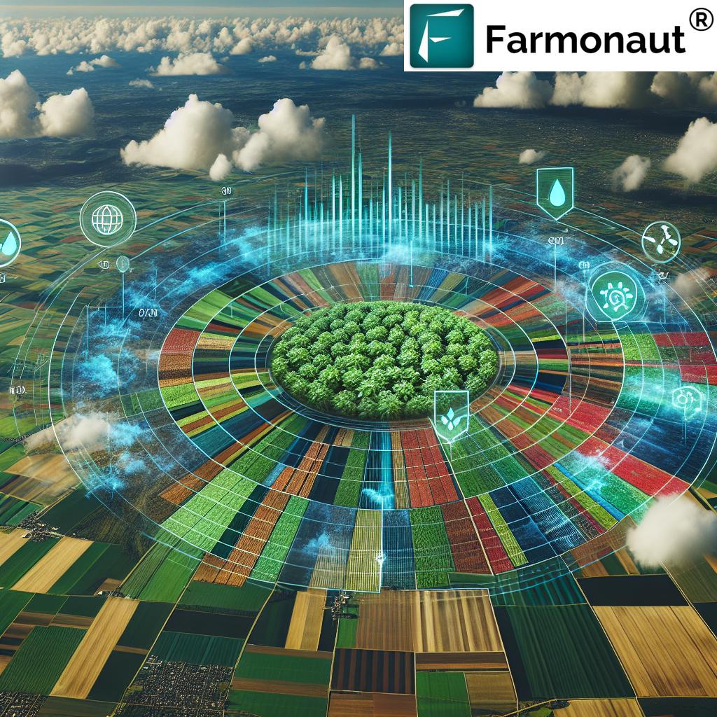
Geospatial data has become an indispensable resource in the agricultural sector. By harnessing the power of satellite imagery and advanced analytics, we can gain unprecedented insights into crop health, soil conditions, and land use patterns. This wealth of information enables us to make data-driven decisions that optimize yields while minimizing environmental impact.
Key Benefits of Geospatial Data in Agriculture:
- Precise crop monitoring and health assessment
- Accurate land use and cover mapping
- Early detection of pest and disease outbreaks
- Optimization of irrigation and fertilizer use
- Improved yield forecasting and production planning
Earth Observation Tools: A Game-Changer for Sustainable Farming
Earth observation tools have revolutionized the way we approach agriculture. These advanced technologies allow us to monitor vast areas of farmland with unprecedented detail and frequency. By integrating satellite imagery with ground-based sensors and drones, we can create a comprehensive picture of agricultural landscapes and their dynamics.

Cutting-Edge Earth Observation Technologies:
- Multispectral Imaging: Captures data across various light spectrums to assess crop health and soil properties.
- Synthetic Aperture Radar (SAR): Provides all-weather, day-and-night imaging capabilities for continuous monitoring.
- LiDAR: Offers high-resolution 3D mapping of terrain and vegetation structure.
- Hyperspectral Sensors: Enables detailed analysis of plant physiology and biochemical properties.
Leveraging Analytics for Sustainable Land Management
At Farmonaut, we believe that the true power of geospatial data lies in its analysis. Our advanced analytic tools process vast amounts of earth observation data to extract actionable insights for sustainable land management. These analytics empower farmers and land managers to make informed decisions that balance productivity with environmental stewardship.
Key Analytical Capabilities:
- Crop yield prediction models
- Soil moisture analysis
- Vegetation index calculations (e.g., NDVI)
- Land use change detection
- Water stress mapping
Farmonaut’s Geospatial Tools for Sustainable Agriculture
We have developed a suite of geospatial tools specifically designed to address the challenges of sustainable agriculture. These tools integrate seamlessly with our platform, providing users with a comprehensive solution for farm management and decision support.
| Tool Name | Primary Function | Agricultural Application | Sustainability Impact |
|---|---|---|---|
| Satellite Imagery Analysis | Process and interpret multispectral satellite data | Crop health assessment, land use mapping | Optimized resource use, reduced chemical inputs |
| Crop Health Monitoring | Track vegetation indices and detect anomalies | Early pest and disease detection, yield optimization | Minimized crop losses, targeted interventions |
| Precision Irrigation System | Analyze soil moisture and recommend irrigation schedules | Water-efficient farming, drought mitigation | Water conservation, improved crop resilience |
| Yield Prediction Model | Forecast crop yields based on historical and real-time data | Production planning, market forecasting | Reduced food waste, improved food security |
| Land Use Change Detection | Monitor and analyze changes in land cover over time | Deforestation monitoring, urban encroachment assessment | Preservation of agricultural lands, biodiversity protection |
| Emergency Response Mapping | Rapid mapping of affected areas during natural disasters | Disaster impact assessment, recovery planning | Enhanced resilience, faster recovery of agricultural systems |
Empowering Farmers with Data-Driven Insights
Our commitment to sustainable agriculture goes beyond providing tools. We believe in empowering farmers with the knowledge and skills to effectively utilize geospatial data in their daily operations. Through our comprehensive education and training programs, we ensure that farmers can harness the full potential of earth observation technologies.
Educational Resources and Support:
- Online Tutorials: Step-by-step guides on using our geospatial tools and interpreting data.
- Webinars: Regular online sessions covering advanced topics in precision agriculture and sustainability.
- Hands-on Workshops: In-person training events for practical experience with our tools.
- Documentation: Comprehensive user manuals and technical documentation for our platform and APIs.
To access our educational resources and start your journey towards data-driven farming, visit our application portal.
Developer Tools and API Integration
For developers and agricultural technology innovators, we offer robust API solutions that allow seamless integration of our geospatial data and analytics into custom applications. Our developer-friendly approach enables the creation of tailored solutions for specific agricultural needs.
Key Features of Our Developer Tools:
- RESTful API for easy integration
- Comprehensive documentation and code samples
- Scalable infrastructure to handle high-volume requests
- Secure authentication and data encryption
Explore our API capabilities and access detailed documentation at our API portal.
Sustainability and ESG Reporting
As sustainability becomes increasingly important in the agricultural sector, we recognize the need for robust Environmental, Social, and Governance (ESG) reporting. Our geospatial tools provide valuable data for tracking and reporting on key sustainability metrics.
ESG Reporting Capabilities:
- Carbon sequestration monitoring
- Biodiversity assessment
- Water usage efficiency tracking
- Soil health indicators
- Chemical input reduction measurement
By leveraging our tools for ESG reporting, agricultural businesses can demonstrate their commitment to sustainable practices and meet the growing demands of environmentally conscious consumers and investors.
Research and Innovation in Geospatial Agriculture
At Farmonaut, we are committed to pushing the boundaries of geospatial technology in agriculture. Our research and development efforts focus on innovative applications of earth observation data to address emerging challenges in sustainable farming.
Current Research Areas:
- Advanced machine learning algorithms for crop classification
- Integration of IoT sensors with satellite data for precision agriculture
- Development of high-resolution soil mapping techniques
- Climate change impact modeling on agricultural systems
We collaborate with leading academic institutions and research organizations to drive innovation in geospatial agriculture. Our goal is to continuously improve our tools and methodologies to meet the evolving needs of the agricultural sector.
Emergency Management and Disaster Response
Geospatial data and earth observation tools play a crucial role in emergency management and disaster response in agricultural areas. Our rapid mapping capabilities enable quick assessment and response to natural disasters that affect farmlands.
Applications in Emergency Management:
- Flood extent mapping and damage assessment
- Drought monitoring and early warning systems
- Wildfire tracking and impact analysis on agricultural lands
- Post-disaster crop loss estimation
By providing timely and accurate information, we help farmers and agricultural communities better prepare for and recover from natural disasters, enhancing the resilience of our food systems.
The Future of Geospatial Agriculture
As we look to the future, we envision a world where geospatial data and earth observation technologies are seamlessly integrated into every aspect of agriculture. From small-scale farms to large agribusinesses, the power of spatial analytics will drive more sustainable, efficient, and productive farming practices.
Emerging Trends and Technologies:
- Integration of AI and machine learning for automated crop management
- Real-time satellite monitoring for immediate decision support
- Blockchain integration for transparent and traceable food supply chains
- Advanced predictive modeling for climate-resilient agriculture
At Farmonaut, we are committed to staying at the forefront of these technological advancements, ensuring that our users have access to the most cutting-edge tools and insights for sustainable agriculture.
Get Started with Farmonaut
Ready to transform your agricultural practices with the power of geospatial data and earth observation? Get started with Farmonaut today:
- Download our mobile app:
Android
iOS - Explore our API documentation for custom integrations
- Subscribe to our services to unlock the full potential of geospatial agriculture
Frequently Asked Questions (FAQ)
Q: What is geospatial data in agriculture?
A: Geospatial data in agriculture refers to information that has a geographic component, such as satellite imagery, GPS data, and mapping information. It is used to analyze and visualize spatial patterns in agricultural landscapes, helping farmers make informed decisions about crop management, resource allocation, and sustainability practices.
Q: How does earth observation contribute to sustainable agriculture?
A: Earth observation technologies, such as satellite imagery and remote sensing, provide valuable data on crop health, soil conditions, and environmental factors. This information enables farmers to optimize resource use, reduce chemical inputs, and implement precision agriculture techniques, all of which contribute to more sustainable farming practices.
Q: What types of analytics does Farmonaut offer for agricultural data?
A: Farmonaut offers a range of analytics including crop health assessment, yield prediction, soil moisture analysis, vegetation index calculations, land use change detection, and water stress mapping. These analytics help farmers make data-driven decisions to improve productivity and sustainability.
Q: How can I access Farmonaut’s geospatial tools and services?
A: You can access Farmonaut’s tools and services through our mobile apps available on Android and iOS platforms, our web application, or by integrating our API into your existing systems. Visit our website or contact our sales team for more information on subscription options.
Q: Does Farmonaut provide training on how to use its geospatial tools?
A: Yes, we offer comprehensive training resources including online tutorials, webinars, hands-on workshops, and detailed documentation. These resources are designed to help users effectively utilize our geospatial tools and interpret the data for improved agricultural decision-making.
Q: How does Farmonaut’s technology help with emergency management in agriculture?
A: Our rapid mapping and analysis capabilities allow for quick assessment of agricultural areas affected by natural disasters such as floods, droughts, or wildfires. This timely information aids in disaster response, damage assessment, and recovery planning for affected farming communities.
Q: Can Farmonaut’s tools be used for ESG reporting in agriculture?
A: Absolutely. Our geospatial tools provide valuable data for tracking and reporting on key sustainability metrics such as carbon sequestration, biodiversity, water usage efficiency, and soil health. This data can be used to support ESG reporting and demonstrate commitment to sustainable agricultural practices.
Q: Is Farmonaut’s platform suitable for small-scale farmers?
A: Yes, our platform is designed to be accessible and beneficial for farmers of all scales, including small-scale operations. We offer various subscription tiers and tools that can be tailored to the needs and resources of different farm sizes.
Q: How often is the satellite imagery updated in Farmonaut’s system?
A: The frequency of satellite imagery updates depends on the specific service tier and location. Generally, we provide updates every few days to every couple of weeks, ensuring that farmers have access to recent data for their decision-making processes.
Q: Can Farmonaut’s tools integrate with other farm management software?
A: Yes, we offer API solutions that allow for integration with other farm management software and systems. This enables a seamless flow of data and insights across different platforms used in agricultural operations.
We hope this comprehensive guide has provided valuable insights into how geospatial data and earth observation technologies are revolutionizing sustainable agriculture. At Farmonaut, we’re committed to empowering farmers and agricultural stakeholders with the tools and knowledge needed to build a more sustainable and productive future for global agriculture. Join us in this exciting journey towards data-driven, environmentally conscious farming practices.