Revolutionizing Precision Agriculture: Leveraging Thermal Infrared Remote Sensing for Advanced Crop Analytics
“TIRS2 band combination can detect soil moisture and forest fires with 100-meter spatial resolution.”
In the ever-evolving landscape of precision agriculture, we at Farmonaut are at the forefront of leveraging cutting-edge technologies to revolutionize farming practices. Today, we’re excited to explore the transformative power of thermal infrared remote sensing and its applications in advanced crop analytics. This blog post will delve into the intricacies of Thermal Infrared 2 (TIRS2) band combination and its significance in satellite-based crop monitoring and land surface temperature analysis.
The Power of Thermal Infrared Remote Sensing in Agriculture
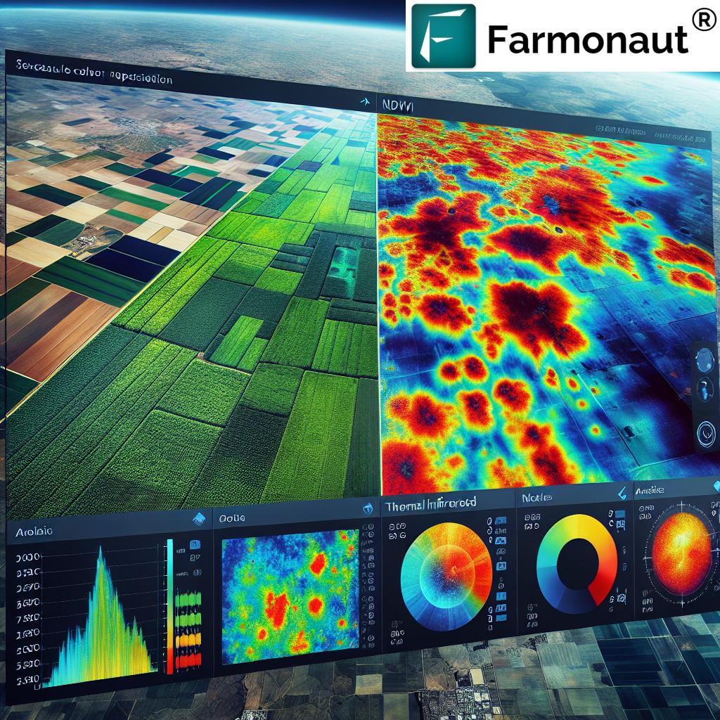
Thermal infrared remote sensing has emerged as a game-changer in the field of precision agriculture. This technology allows us to capture and analyze the thermal emissions from the Earth’s surface, providing valuable insights into various agricultural parameters. By utilizing the TIRS2 band combination, we can now accurately detect soil moisture levels, monitor evapotranspiration, and even identify potential forest fires, all from satellite imagery.
Let’s break down the key components and applications of this revolutionary technology:
- Soil Moisture Detection: TIRS2 enables precise measurement of soil moisture content, crucial for optimal irrigation management.
- Evapotranspiration Monitoring: Accurate tracking of water loss from soil and plants, essential for water resource management.
- Forest Fire Detection: Early identification of potential fire hotspots, even in challenging visibility conditions.
- Land Surface Temperature Analysis: Detailed temperature mapping for climate studies and crop stress assessment.
At Farmonaut, we integrate these advanced capabilities into our satellite-based farm management solutions, providing farmers with unprecedented insights into their fields.
TIRS2: A Breakthrough in Spectral Band Combinations
The Thermal Infrared Sensor 2 (TIRS2) represents a significant advancement in remote sensing technology. This sensor captures data in the thermal infrared spectrum, allowing for precise temperature measurements of land and water surfaces. When combined with other spectral bands, TIRS2 provides a comprehensive view of agricultural landscapes.
Key features of TIRS2 include:
- High spatial resolution (100 meters)
- Ability to penetrate atmospheric haze
- Complementary to visible and near-infrared bands
By leveraging TIRS2 data, we can enhance our understanding of crop health, soil conditions, and environmental factors affecting agricultural productivity.
Integrating TIRS2 with Other Spectral Indices
While TIRS2 is powerful on its own, its true potential is realized when combined with other spectral indices. At Farmonaut, we utilize a multi-faceted approach, integrating TIRS2 data with indices such as:
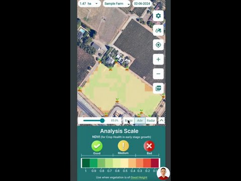
- NDVI (Normalized Difference Vegetation Index): Measures vegetation health and density
- NDWI (Normalized Difference Water Index): Assesses water content in vegetation and soil
- MSAVI (Modified Soil Adjusted Vegetation Index): Improves vegetation monitoring in areas with exposed soil
- NDRE (Normalized Difference Red Edge): Detects subtle changes in crop health and nitrogen content
By combining these indices, we create a comprehensive picture of crop health, allowing for more accurate yield predictions and targeted management strategies.
Explore Farmonaut’s API for advanced satellite data integration
Applications of Thermal Infrared Remote Sensing in Precision Agriculture
The applications of thermal infrared remote sensing in agriculture are vast and varied. Let’s explore some of the key areas where this technology is making a significant impact:
1. Crop Health Monitoring
Thermal imagery allows us to detect crop stress before it becomes visible to the naked eye. By analyzing temperature variations across a field, we can identify areas of:
- Water stress
- Nutrient deficiencies
- Pest infestations
- Disease outbreaks
This early detection enables farmers to take prompt action, potentially saving entire crops from failure.
2. Irrigation Management
Efficient water use is crucial in agriculture. Thermal infrared data helps in:
- Identifying areas of over- or under-irrigation
- Optimizing irrigation schedules
- Detecting leaks in irrigation systems
- Assessing the effectiveness of different irrigation methods
By fine-tuning irrigation practices, farmers can conserve water while improving crop yields.
3. Yield Prediction and Crop Classification
Thermal data, when combined with other spectral information, improves the accuracy of:
- Crop yield predictions
- Crop type classification
- Growth stage assessment
- Harvest timing optimization
These insights allow for better planning and resource allocation throughout the growing season.
4. Environmental Monitoring
Beyond direct agricultural applications, thermal infrared sensing contributes to broader environmental monitoring:
- Climate change studies
- Ecosystem health assessment
- Urban heat island effect monitoring
- Natural disaster impact assessment
This holistic approach helps in understanding the wider environmental context of agricultural practices.
Check out our API Developer Docs for integration guidelines
“Thermal infrared remote sensing enables analysis of land surface temperature with accuracy up to 0.5°C.”
Advanced Analytics: Unlocking the Full Potential of Thermal Data
At Farmonaut, we don’t just provide raw data; we transform it into actionable insights through advanced analytics. Our platform employs sophisticated algorithms to process thermal infrared and multispectral data, delivering:
- Crop stress maps
- Yield potential forecasts
- Pest and disease risk assessments
- Customized management zone recommendations
These analytics empower farmers to make data-driven decisions, optimizing their operations for maximum efficiency and sustainability.
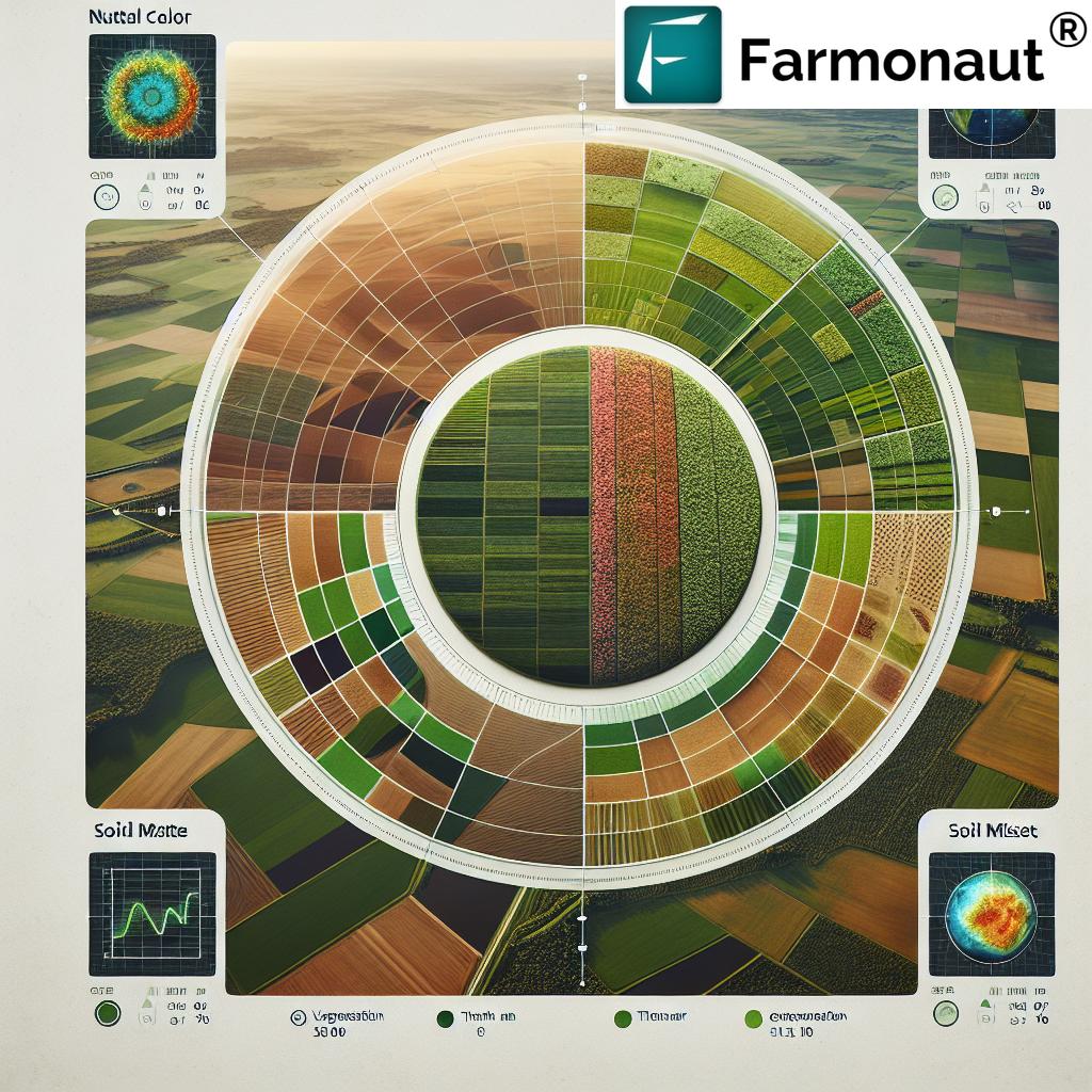
The Role of Thermal Infrared in Sustainable Agriculture
As we face global challenges like climate change and food security, sustainable agriculture has never been more critical. Thermal infrared remote sensing plays a vital role in promoting sustainable farming practices by:
- Reducing water waste through precise irrigation
- Minimizing chemical inputs by targeting problem areas
- Lowering carbon footprint through optimized farm operations
- Enhancing biodiversity by identifying and preserving critical habitats
By leveraging this technology, we’re not just improving farm productivity; we’re contributing to a more sustainable future for agriculture.
Overcoming Challenges in Thermal Infrared Remote Sensing
While thermal infrared remote sensing offers tremendous benefits, it’s important to acknowledge and address its limitations:
- Atmospheric Interference: Water vapor and aerosols can affect data accuracy
- Temporal Resolution: Satellite revisit times may not always align with rapid changes on the ground
- Data Interpretation: Requires expertise to accurately interpret thermal signatures
- Cost: High-resolution thermal sensors can be expensive, limiting accessibility
At Farmonaut, we’re constantly working to overcome these challenges through innovative data processing techniques and user-friendly interfaces, making thermal infrared insights accessible to farmers of all scales.
The Future of Thermal Infrared in Precision Agriculture
As technology continues to advance, we anticipate exciting developments in the field of thermal infrared remote sensing:
- Integration with AI and machine learning for more accurate predictions
- Improved sensor resolution for even more detailed analysis
- Combination with IoT devices for real-time, ground-level data correlation
- Development of new spectral indices for specialized crop monitoring
These advancements will further enhance our ability to provide precise, timely, and actionable insights to farmers worldwide.
Comparison of Thermal Infrared Remote Sensing Applications in Precision Agriculture
| Application | TIRS2 Capabilities | Benefits for Farming | Complementary Indices | Limitations |
|---|---|---|---|---|
| Soil Moisture Detection | High-resolution moisture mapping | Optimized irrigation, reduced water waste | NDWI | Surface-level detection only |
| Evapotranspiration Monitoring | Precise water loss measurement | Improved water management, stress detection | NDVI | Affected by cloud cover |
| Forest Fire Detection | Early hotspot identification | Rapid response, prevention of crop losses | NDVI, MSAVI | False positives in urban areas |
| Crop Health Assessment | Stress detection before visible signs | Early intervention, yield optimization | NDRE, NDVI | Requires expert interpretation |
| Land Surface Temperature Analysis | Accurate temperature mapping | Climate studies, microclimate management | NDVI, NDWI | Influenced by atmospheric conditions |
Integrating Thermal Infrared Insights with Farmonaut’s Platform
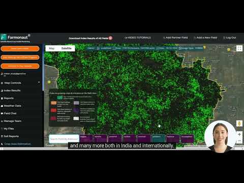
At Farmonaut, we’ve seamlessly integrated thermal infrared remote sensing capabilities into our comprehensive farm management platform. Our solution offers:
- User-friendly interface for accessing thermal and multispectral data
- Customizable alerts for crop stress and anomalies
- Integration with weather data for contextual analysis
- Mobile app for on-the-go monitoring and decision-making
By combining thermal infrared insights with our other advanced features, we provide a holistic solution for precision agriculture that’s accessible to farmers of all sizes.
Empowering Farmers with Thermal Infrared Technology
The adoption of thermal infrared remote sensing in agriculture represents a significant leap forward in precision farming. By providing detailed insights into crop health, soil conditions, and environmental factors, this technology empowers farmers to:
- Make data-driven decisions
- Optimize resource use
- Increase crop yields
- Reduce environmental impact
- Adapt to changing climate conditions
At Farmonaut, we’re committed to making these powerful tools accessible to farmers worldwide, contributing to a more sustainable and productive agricultural future.
Conclusion: The Future of Farming is Here
Thermal infrared remote sensing, combined with advanced crop analytics, is revolutionizing precision agriculture. As we continue to innovate and refine these technologies, the potential for improving agricultural productivity, sustainability, and resilience grows exponentially. At Farmonaut, we’re proud to be at the forefront of this revolution, providing farmers with the tools they need to thrive in an ever-changing world.
We invite you to join us on this journey towards smarter, more sustainable farming. Explore our platform, leverage our advanced analytics, and experience the power of thermal infrared remote sensing in transforming your agricultural practices.
Frequently Asked Questions (FAQ)
- What is thermal infrared remote sensing?
Thermal infrared remote sensing is a technology that captures and analyzes the heat emitted by Earth’s surface, providing valuable data on temperature variations and other environmental factors. - How does thermal infrared sensing benefit agriculture?
It helps in soil moisture detection, crop health monitoring, irrigation management, and early detection of crop stress, pests, and diseases. - What is TIRS2, and why is it important?
TIRS2 (Thermal Infrared Sensor 2) is an advanced sensor that captures thermal data with high spatial resolution, enabling more accurate analysis of land surface temperatures and agricultural conditions. - Can thermal infrared sensing work through cloud cover?
While thermal infrared can penetrate some atmospheric conditions better than visible light, dense cloud cover can still affect data quality. - How does Farmonaut integrate thermal infrared data into its platform?
Farmonaut combines thermal infrared data with other spectral indices and advanced analytics to provide comprehensive, actionable insights for precision agriculture. - Is thermal infrared sensing suitable for small-scale farmers?
Yes, Farmonaut makes thermal infrared insights accessible to farmers of all scales through our user-friendly platform and mobile apps. - How often is thermal infrared data updated?
The frequency of updates depends on satellite revisit times, which can vary. Farmonaut provides regular updates to ensure timely information. - Can thermal infrared sensing help in organic farming?
Absolutely. It’s particularly useful in organic farming for early pest and disease detection, reducing the need for chemical interventions. - How does thermal sensing contribute to sustainable agriculture?
By optimizing resource use, reducing waste, and improving crop health, thermal sensing promotes more sustainable farming practices. - What’s the future of thermal infrared sensing in agriculture?
The future looks bright, with ongoing developments in sensor technology, data processing, and integration with AI and IoT devices promising even more precise and valuable insights for farmers.
Ready to revolutionize your farming practices with cutting-edge thermal infrared technology? Explore Farmonaut’s solutions today and take the first step towards more efficient, sustainable, and productive agriculture.

