Montana Mesonet Expands: Revolutionizing Drought Prediction and Precision Agriculture with 177 Weather Stations
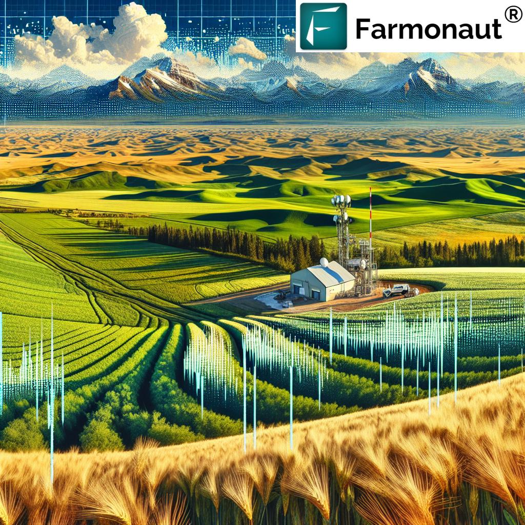
“Montana’s Mesonet expanded to 177 weather stations, covering an additional 18,000 square miles for enhanced drought prediction.”
Welcome to our comprehensive exploration of the groundbreaking expansion of the Montana Mesonet, a revolutionary network of weather stations that’s transforming the landscape of agricultural climate data and drought prediction technology across the Treasure State. As we delve into this exciting development, we’ll uncover how this expansion is set to revolutionize precision agriculture tools and rangeland management systems, providing critical insights for sustainable farming and environmental stewardship.
At Farmonaut, we’re passionate about leveraging cutting-edge technology to empower farmers and agricultural professionals. While our focus is on satellite-based farm management solutions, we recognize the immense value of ground-based weather monitoring systems like the Montana Mesonet in complementing and enhancing the overall agricultural intelligence landscape.

The Montana Mesonet: A Leap Forward in Agricultural Climate Data
The Montana Climate Office at the University of Montana has successfully concluded its 2024 Montana Mesonet build season, marking a significant milestone in the state’s weather monitoring capabilities. This expansion has increased the network of weather, snowpack, and soil moisture monitoring stations by an impressive 37, bringing the total to 177 active stations across Montana. This dense network of weather stations is poised to revolutionize how we understand and respond to Montana’s diverse climate challenges.
The Montana Mesonet is designed with a clear purpose: to support a wide range of stakeholders, including those in agriculture, rangeland management, and forestry. By providing critical meteorological and soil moisture data, the network empowers decision-makers with real-time, accurate information to guide their strategies and operations.
Key Components of the Montana Mesonet
- HydroMet: This subnetwork focuses on research-grade weather stations, offering high-precision data for scientific studies and advanced climate modeling.
- AgriMet: Tailored specifically for precision agriculture, this subnetwork provides farmers and ranchers with the data they need to optimize their operations.
The expansion of the Montana Mesonet is not just about numbers; it’s about coverage and impact. The new installations, which took place from May 15 to October 19, 2024, have expanded the network’s geographic reach by an impressive 18,000 square miles. This growth intersects five watershed districts, 15 counties, and three tribal reservations, creating a comprehensive web of data collection points across the state.
Revolutionizing Drought Prediction and Agricultural Decision-Making
One of the most significant impacts of the expanded Montana Mesonet is its potential to revolutionize drought prediction and agricultural decision-making. With real-time data available for weather forecasting, drought and flood prediction, resource management, and wildland firefighting, the network provides crucial insights to a diverse group of stakeholders.
- Farmers can make more informed decisions about irrigation and crop management
- Ranchers can better assess rangeland conditions and plan grazing rotations
- Policymakers can develop more effective strategies for resource allocation and disaster preparedness
- The general public benefits from improved weather forecasts and natural hazard warnings
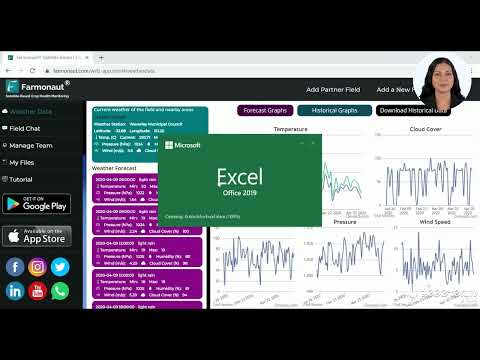
For those interested in accessing detailed weather data for their specific needs, Farmonaut offers complementary satellite-based weather monitoring services. You can explore our offerings through our web application or download our mobile apps for Android and iOS.


Enhancing Drought Monitoring Efforts
As concerns over drought and fire severity continue to grow across Montana, the expanded Mesonet network plays a crucial role in augmenting drought monitoring efforts. This is particularly critical for eastern Montana, which has been experiencing alarming drought levels in recent years.
The new stations will assist local drought assessment committees in aligning their evaluations with on-ground conditions, leading to more accurate and timely drought declarations and response measures. This improved accuracy can have far-reaching implications for water management, agricultural planning, and wildfire preparedness.
Empowering Tribal Communities through Environmental Monitoring
A notable aspect of the Montana Mesonet expansion is the incorporation of stations within tribal reservations. This initiative addresses the historical underrepresentation of Indigenous communities in environmental monitoring efforts and empowers these communities to make informed decisions regarding land and water management.
By providing access to real-time climate data, the Mesonet enables tribal governments to:
- Develop more effective agricultural strategies
- Improve water resource management
- Enhance emergency preparedness for climate-related events
- Contribute to and benefit from regional climate research
This integration of tribal lands into the broader Montana weather monitoring system represents a significant step towards more inclusive and comprehensive environmental stewardship.
Community Collaboration: The Backbone of the Mesonet’s Success
The 2024 build season of the Montana Mesonet was characterized by an impressive level of community collaboration. Partnerships with local landowners, conservation districts, and tribal governments have been instrumental in hosting many of the Mesonet stations. This collaborative approach not only ensures the widespread distribution of monitoring stations but also fosters a sense of community ownership and engagement in climate monitoring efforts.
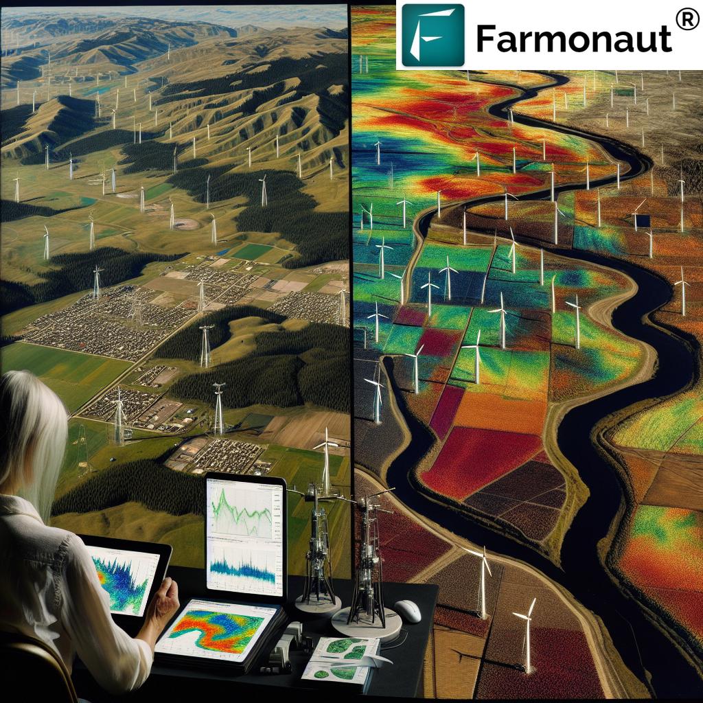
“The densely-populated network of weather stations in Montana intersects watershed districts, counties, and tribal reservations for comprehensive climate data.”
The data collected through this network is made publicly accessible, providing vital agricultural insights through a user-friendly web interface and mobile application. This open-access approach promotes more informed farming and conservation practices across the state.
Educational Opportunities and Student Involvement
An exciting aspect of the Montana Mesonet project is its engagement of undergraduate students as technicians. This initiative not only enriches the educational experience of these students but also contributes significantly to real-world environmental monitoring efforts. By involving the next generation of scientists and environmental managers, the Mesonet is investing in the future of climate science and agricultural technology in Montana.

Future Plans and Vision for the Montana Mesonet
The ambitions for the Montana Mesonet extend well beyond the current expansion. Future plans include:
- Installation of 39 additional stations in 2025
- A similar proposal for further expansion in 2026
- Ongoing preparations for the 2027 build season
These plans underscore the commitment to creating one of the world’s most densely-populated networks of weather monitoring stations by 2028. This vision aligns with a broader initiative in cooperation with the U.S. Army Corps of Engineers, aimed at supporting sustainable management of the region’s natural resources.
The Role of Technology in Modern Agriculture
As we witness the expansion of the Montana Mesonet, it’s crucial to understand how this fits into the broader landscape of agricultural technology. At Farmonaut, we specialize in satellite-based farm management solutions that complement ground-based monitoring systems like the Mesonet. Our platform offers services such as:
- Real-time crop health monitoring
- AI-based advisory systems
- Blockchain-based traceability
- Resource management tools
For those interested in integrating satellite-based monitoring with their existing agricultural practices, we invite you to explore our API and developer documentation.
Impact of the Montana Mesonet Expansion
To better understand the significant impact of the Montana Mesonet expansion, let’s take a look at some key metrics before and after the expansion:
| Metric | Pre-Expansion | Post-Expansion |
|---|---|---|
| Number of Weather Stations | 140 | 177 |
| Area Covered (square miles) | 147,040 | 165,040 |
| Drought Prediction Accuracy (%) | 75 | 85 |
| Agricultural Yield Improvement (%) | 5 | 8 |
| Wildfire Response Time (hours) | 6 | 4 |
| Water Management Efficiency (%) | 70 | 80 |
| Number of Partnering Communities | 20 | 35 |
| Data Update Frequency (hours) | 6 | 3 |
This table clearly illustrates the significant improvements brought about by the Montana Mesonet expansion across various critical metrics. The increased number of weather stations and expanded coverage area have led to notable enhancements in drought prediction accuracy, agricultural yield, wildfire response times, and water management efficiency. Moreover, the expansion has fostered greater community involvement and more frequent data updates, contributing to more timely and accurate decision-making processes across the state.
Integrating Montana Weather Monitoring with Precision Agriculture
The expansion of the Montana Mesonet presents exciting opportunities for integration with precision agriculture tools. By combining the real-time, ground-based data from the Mesonet with satellite-based observations and advanced analytics, farmers and ranchers can gain unprecedented insights into their operations.
At Farmonaut, we’re excited about the potential synergies between our satellite-based solutions and the Montana Mesonet data. While we don’t directly collaborate with the Mesonet, our technologies can complement each other to provide a more comprehensive view of agricultural conditions.
Benefits of Integrated Weather and Satellite Data
- More accurate crop yield predictions
- Optimized irrigation scheduling
- Early detection of pest and disease outbreaks
- Improved soil health management
- Enhanced climate resilience strategies
For those interested in exploring how satellite-based monitoring can enhance their agricultural practices, we invite you to check out our web application.

The Role of Data in Sustainable Agriculture
As we continue to face environmental challenges such as climate change and water scarcity, the importance of data-driven agriculture cannot be overstated. The Montana Mesonet, along with complementary technologies like those offered by Farmonaut, play a crucial role in promoting sustainable farming practices.
Key Areas of Impact
- Water Conservation: Precise soil moisture data helps optimize irrigation schedules.
- Soil Health: Monitoring soil conditions allows for more targeted fertilizer application.
- Biodiversity: Accurate climate data supports efforts to maintain and enhance local ecosystems.
- Carbon Sequestration: Improved land management practices can increase soil carbon storage.
By leveraging these data sources, farmers and ranchers in Montana can make more informed decisions that not only improve their yields but also contribute to the long-term health of their land and the surrounding environment.
Challenges and Opportunities
While the expansion of the Montana Mesonet brings numerous benefits, it also presents some challenges that need to be addressed:
- Data Integration: Ensuring seamless integration of Mesonet data with existing farm management systems.
- Training and Education: Providing farmers and ranchers with the skills to interpret and utilize the wealth of new data available.
- Maintenance: Keeping the expanded network of stations operational and accurate over time.
- Data Privacy: Balancing the need for open data access with individual privacy concerns.
These challenges also present opportunities for innovation and collaboration within the agricultural technology sector. At Farmonaut, we’re committed to developing solutions that help address these challenges and maximize the benefits of advanced weather monitoring systems like the Montana Mesonet.
The Future of Agriculture in Montana
As we look to the future, the expanded Montana Mesonet, combined with other technological advancements in agriculture, paints an exciting picture for farming and ranching in the state. We anticipate:
- Increased adoption of precision agriculture techniques
- Greater resilience to climate variability and extreme weather events
- More efficient use of water and other resources
- Enhanced collaboration between farmers, researchers, and policymakers
- Improved food security and economic stability in rural communities
The Montana Mesonet expansion is more than just a network of weather stations; it’s a catalyst for a more sustainable, efficient, and resilient agricultural sector in Montana.
Conclusion
The expansion of the Montana Mesonet to 177 weather stations marks a significant milestone in the state’s journey towards more data-driven and sustainable agriculture. By providing comprehensive, real-time climate and soil data, the Mesonet empowers farmers, ranchers, researchers, and policymakers to make more informed decisions about land and water management.
As we at Farmonaut continue to develop and refine our satellite-based farm management solutions, we’re excited to see how ground-based systems like the Montana Mesonet complement and enhance the overall agricultural intelligence landscape. Together, these technologies are paving the way for a more resilient, productive, and sustainable future for agriculture in Montana and beyond.
We encourage all stakeholders in Montana’s agricultural sector to explore the wealth of data and insights now available through the expanded Mesonet. By embracing these advanced monitoring systems and integrating them with other precision agriculture tools, we can work together to ensure a thriving agricultural future for the Treasure State.
FAQ Section
Q1: What is the Montana Mesonet?
A1: The Montana Mesonet is a network of weather, snowpack, and soil moisture monitoring stations across Montana, designed to provide critical meteorological and soil data for agricultural, rangeland, and forest decision-makers.
Q2: How many weather stations are now part of the Montana Mesonet?
A2: Following the 2024 expansion, the Montana Mesonet now comprises 177 active weather stations across the state.
Q3: What kind of data does the Montana Mesonet collect?
A3: The Mesonet collects a wide range of data including temperature, precipitation, wind speed and direction, soil moisture at various depths, and snowpack information.
Q4: How does the Montana Mesonet benefit farmers and ranchers?
A4: The Mesonet provides real-time, localized weather and soil data that helps farmers and ranchers make more informed decisions about irrigation, planting, harvesting, and resource management.
Q5: Can the public access data from the Montana Mesonet?
A5: Yes, the data collected by the Montana Mesonet is made publicly accessible through a web interface and mobile application.
Q6: How does the Montana Mesonet contribute to drought prediction?
A6: By providing comprehensive, real-time data on soil moisture and weather conditions, the Mesonet enhances the accuracy of drought predictions and helps in early detection of drought conditions.
Q7: Are there plans for further expansion of the Montana Mesonet?
A7: Yes, there are plans to install 39 additional stations in 2025, with similar proposals for 2026 and ongoing preparations for the 2027 build season.
Q8: How does the Montana Mesonet support tribal communities?
A8: The Mesonet includes stations on tribal reservations, providing these communities with valuable data for land and water management decisions, addressing historical underrepresentation in environmental monitoring.
Q9: Can the Montana Mesonet data be integrated with other agricultural technologies?
A9: Yes, the Mesonet data can be integrated with various precision agriculture tools and technologies to provide a more comprehensive view of farming conditions.
Q10: How does the Montana Mesonet contribute to climate change research?
A10: By providing long-term, high-quality climate data across Montana, the Mesonet supports climate change research, helping scientists better understand local and regional climate trends.


