Satellite Imagery Reveals Alarming Building Subsidence in Miami: How Farmonaut’s Technology Can Monitor Coastal Climate Change Impact
“Satellite imagery reveals luxury buildings in Miami Beach are sinking at unexpected rates, impacting coastal agriculture.”
In recent years, the bustling coastal city of Miami, Florida, has been facing an unprecedented challenge that threatens not only its iconic skyline but also the very ground beneath its feet. As climate change continues to reshape our world, we find ourselves at the forefront of a critical issue that demands our immediate attention and innovative solutions. In this comprehensive exploration, we will delve into the alarming discoveries made through satellite imagery and how cutting-edge technologies, such as those offered by Farmonaut, can play a crucial role in monitoring and mitigating the impacts of coastal climate change on agriculture and urban infrastructure.
The Sinking Sensation: Miami’s Building Subsidence Crisis
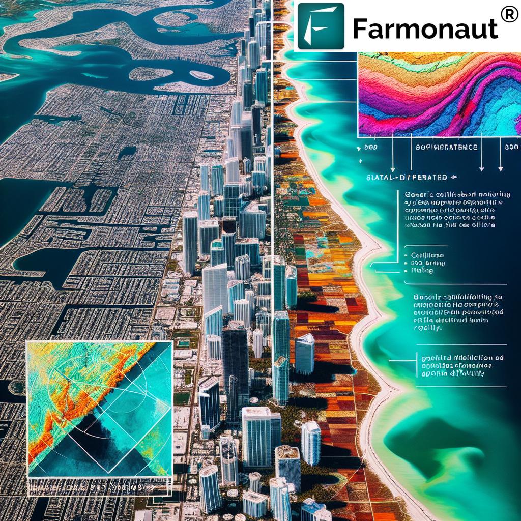
A groundbreaking study led by scientists at the University of Miami has unveiled a startling reality: numerous luxury buildings, including condos and hotels, across southeast Florida are sinking at an unexpected and concerning rate. This research, covering the period from 2016 to 2023, has identified 35 structures in various locations, including the prestigious areas of Golden Beach and Miami Beach, that have experienced subsidence of up to three inches. Among the affected buildings are well-known landmarks such as the Ritz-Carlton Residences and Trump Tower III.
This revelation poses significant concerns for both residents and tourists, as these properties house tens of thousands of people. The implications of this subsidence extend far beyond the immediate structural integrity of these buildings, touching upon broader issues of urban planning, coastal management, and agricultural sustainability in the region.
The Science Behind the Sinking
The primary culprit behind this alarming subsidence has been identified as vibrations caused by construction activities. These vibrations lead to soil particle compaction, ultimately resulting in the gradual sinking of the land. To better understand this phenomenon, we can draw an analogy to the process of shaking ground coffee, which creates more space between the particles. While engineers typically account for slight movements during and immediately after construction, the continued sinking years after completion was an unexpected discovery for the researchers.
- Soil Compaction: The weight of heavy buildings and the accumulation of sediment contribute to natural soil compaction over time.
- Tidal Movements: Daily tidal fluctuations play a role in the gradual settling of coastal structures.
- Backfilled Land: Areas with newly created coastal land, often utilizing backfilling methods, are particularly susceptible to subsidence.
The study revealed that nearly 70% of buildings in the northern and central regions of Sunny Isles Beach are sinking, with about 23% of these structures constructed in the last decade. This highlights the urgency of addressing the issue, especially in areas of recent development.
Climate Change: The Double Threat
The implications of these findings are particularly concerning when viewed through the lens of climate change. Miami now faces a dual crisis: land subsidence and rising sea levels. This combination significantly increases the threat of coastal flooding, storm surges, and erosion. Research indicates that sea levels in this region are rising at an alarming rate of approximately 2.6 inches per decade over the past thirty years.
In affected areas, buildings are sinking at a rate that matches ocean rise, effectively compounding the flooding risk. This scenario presents a complex challenge for urban planners, environmentalists, and agriculturalists alike, as they grapple with the need to protect both urban infrastructure and vital agricultural lands in coastal regions.
The Role of Satellite Imagery in Monitoring Subsidence
The study that uncovered these alarming trends was made possible through the use of advanced satellite imagery technologies. Researchers employed these tools to monitor minute movements in the Earth’s surface, focusing on specific building components such as balconies and air conditioner units. This approach demonstrates the power of remote sensing in detecting and tracking gradual changes that might otherwise go unnoticed until they reach critical levels.
The impetus for this study was the tragic collapse of the Champlain Towers in Surfside, Florida, in 2021. While no signs of subsidence were detected prior to this event, evidence was found nearby, particularly along the coastline. This underscores the importance of continuous monitoring and the potential for satellite imagery to serve as an early warning system for structural instability.
Farmonaut’s Innovative Solutions for Agricultural Monitoring
“Farmonaut’s precision agriculture technologies help farmers adapt to coastal subsidence by monitoring soil health and crop performance.”
As we confront these challenging environmental changes, innovative technologies emerge as crucial tools for adaptation and mitigation. Farmonaut, a pioneering agricultural technology company, offers advanced satellite-based farm management solutions that can play a significant role in monitoring and addressing the impacts of coastal subsidence on agriculture.
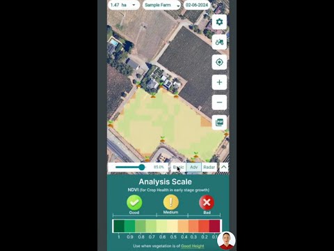
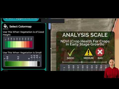
- Satellite-Based Crop Health Monitoring: Farmonaut utilizes multispectral satellite images to provide real-time insights into vegetation health, soil moisture levels, and other critical metrics. This data is invaluable for farmers in coastal areas facing the dual challenges of subsidence and sea-level rise.
- AI-Driven Advisory Systems: The Jeevn AI system offers personalized farm advisory services, delivering real-time insights and expert crop management strategies. This can help farmers in affected areas adapt their practices to changing soil conditions and environmental factors.
- Carbon Footprinting: Farmonaut’s carbon footprint tracking feature allows agribusinesses to monitor and reduce their environmental impact, a crucial aspect of sustainable farming in vulnerable coastal regions.
By leveraging these technologies, farmers in coastal areas can implement more effective soil subsidence monitoring and sustainable farming practices. This proactive approach is essential for ensuring food security in the face of rising seas and sinking lands.
Adapting Agriculture to Coastal Changes
The challenges posed by building subsidence and sea-level rise in Miami have significant implications for agriculture in the region. As coastal lands become increasingly vulnerable to flooding and saltwater intrusion, farmers must adapt their practices to ensure continued productivity. Farmonaut’s precision agriculture technologies offer several key benefits in this context:
- Soil Health Monitoring: Regular satellite imagery can detect changes in soil composition and moisture levels, allowing farmers to adjust their irrigation and fertilization strategies accordingly.
- Crop Performance Analysis: By tracking crop health over time, farmers can identify areas that may be more susceptible to the effects of subsidence and implement targeted interventions.
- Land Use Change Analysis: Satellite data can help identify shifts in land use patterns, enabling better planning for future agricultural activities in light of changing coastal conditions.
The Importance of Environmental Monitoring Systems
The findings from Miami underscore the critical need for comprehensive environmental monitoring systems. While the study focused primarily on urban structures, the implications for coastal ecosystems and agricultural lands are equally significant. Advanced monitoring systems can provide crucial data on:
- Coastal Erosion Detection: Identifying areas of rapid coastal change to inform land use decisions and protect vulnerable agricultural lands.
- Sea Level Rise Tracking: Monitoring the rate of sea-level rise to help farmers and urban planners prepare for future scenarios.
- Saltwater Intrusion Mapping: Detecting the spread of saltwater into freshwater aquifers, which can have severe impacts on crop production.
By integrating these monitoring capabilities with Farmonaut’s agricultural technologies, we can create a more resilient and adaptive approach to farming in coastal regions.

Sustainable Farming Practices for Coastal Areas
As we navigate the challenges posed by building subsidence and sea-level rise, implementing sustainable farming practices becomes increasingly important. Farmonaut’s technologies can support several key strategies:
- Precision Irrigation: Using satellite data to optimize water use and reduce the risk of soil salinization.
- Crop Rotation and Diversification: Identifying suitable crops for changing soil conditions and implementing effective rotation strategies.
- Soil Conservation Techniques: Implementing practices to prevent soil erosion and maintain soil health in vulnerable coastal areas.
- Adaptive Land Use Planning: Using remote sensing data to inform long-term decisions about land use and crop selection in coastal regions.
By adopting these practices and leveraging advanced monitoring technologies, farmers can improve their resilience to the impacts of coastal climate change.
Explore Farmonaut’s API for advanced agricultural data integration
The Role of Remote Sensing in Agriculture
Remote sensing technologies, such as those employed by Farmonaut, are revolutionizing the way we approach agriculture in challenging environments. These tools offer several key advantages:
- Large-Scale Monitoring: Satellite imagery allows for the monitoring of vast agricultural areas, providing a comprehensive view of land use and crop health.
- Temporal Analysis: Regular imaging enables the tracking of changes over time, crucial for understanding the long-term impacts of subsidence and sea-level rise.
- Non-Invasive Assessment: Remote sensing provides valuable data without the need for on-the-ground surveys, reducing costs and increasing efficiency.
- Integration with Other Data Sources: Satellite imagery can be combined with weather data, soil maps, and other information to create comprehensive agricultural management systems.
Comparative Data: Coastal Subsidence Rates and Agricultural Impacts in Miami Area
| Location | Subsidence Rate (mm/year) | Sea Level Rise (mm/year) | Agricultural Impact Score (1-10) |
|---|---|---|---|
| Miami Beach | 3.8 | 3.5 | 8 |
| Golden Beach | 2.5 | 3.5 | 6 |
| Sunny Isles Beach (North) | 4.2 | 3.5 | 9 |
| Sunny Isles Beach (Central) | 3.9 | 3.5 | 8 |
| Surfside | 3.0 | 3.5 | 7 |
| Average | 3.48 | 3.5 | 7.6 |
This table illustrates the varying degrees of subsidence across different locations in the Miami area, along with the consistent sea-level rise and the corresponding impact on agriculture. The Agricultural Impact Score reflects the severity of the combined effects of subsidence and sea-level rise on local farming practices.
Future Outlook and Recommendations
As we look to the future, it’s clear that the challenges posed by building subsidence and sea-level rise in coastal areas like Miami will require ongoing attention and innovative solutions. Here are some key recommendations for addressing these issues:
- Continued Monitoring: Regular satellite monitoring of coastal areas to track subsidence and sea-level rise trends.
- Integration of Technologies: Combining satellite imagery with other data sources to create comprehensive environmental monitoring systems.
- Adaptive Agricultural Practices: Encouraging the adoption of sustainable farming techniques that are resilient to changing coastal conditions.
- Policy Development: Working with local and national authorities to develop policies that address the unique challenges of coastal agriculture in the face of climate change.
- Research and Innovation: Continuing to invest in research and development of new technologies to support coastal agriculture and environmental monitoring.
By implementing these recommendations and leveraging advanced technologies like those offered by Farmonaut, we can work towards a more resilient and sustainable future for coastal agriculture.
Access Farmonaut’s API Developer Docs for detailed integration guidance
Conclusion: Embracing Technology for a Sustainable Future
The alarming discoveries of building subsidence in Miami serve as a stark reminder of the complex challenges we face in the era of climate change. However, they also highlight the crucial role that advanced technologies can play in monitoring, understanding, and adapting to these changes. Satellite imagery and remote sensing technologies, such as those offered by Farmonaut, are not just tools for observation but powerful assets in our quest for sustainable agriculture and environmental stewardship.
As we move forward, the integration of these technologies into agricultural practices, urban planning, and environmental management will be crucial. By leveraging the power of satellite imagery for agriculture, implementing robust environmental monitoring systems, and adopting sustainable farming practices, we can build a more resilient future for coastal communities and ensure food security in the face of rising seas and sinking lands.
The challenges are significant, but so too are the opportunities for innovation and adaptation. With continued research, technological advancement, and collaborative efforts across sectors, we can work towards a future where agriculture thrives even in the most challenging environments, ensuring a sustainable and food-secure world for generations to come.
FAQs
- What is building subsidence, and why is it occurring in Miami?
Building subsidence refers to the gradual sinking of structures into the ground. In Miami, it’s primarily caused by soil compaction due to construction vibrations, the weight of heavy buildings, and natural factors like tidal movements and sediment accumulation. - How does climate change exacerbate the subsidence problem in coastal areas?
Climate change leads to rising sea levels, which, combined with land subsidence, increases the risk of flooding, storm surges, and erosion in coastal areas. This dual threat poses significant challenges for both urban infrastructure and coastal agriculture. - How can satellite imagery help in monitoring building subsidence?
Satellite imagery allows for the detection of minute movements in the Earth’s surface over time. By focusing on specific building components, researchers can track gradual changes and identify areas at risk of subsidence. - What role does Farmonaut play in addressing coastal climate change impacts on agriculture?
Farmonaut provides advanced satellite-based farm management solutions that help farmers monitor crop health, soil conditions, and land use changes. These tools are crucial for adapting agricultural practices to the challenges posed by coastal subsidence and sea-level rise. - How can farmers in coastal areas adapt to the challenges of subsidence and sea-level rise?
Farmers can adapt by implementing precision agriculture techniques, using satellite data for informed decision-making, adopting soil conservation practices, and diversifying crop selection based on changing environmental conditions.
