Potato Farm Mapping in Madhya Pradesh: Revolutionizing Crop Area Estimation with Farmonaut

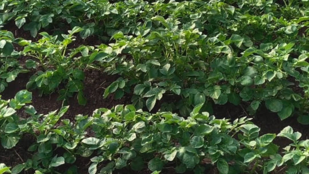
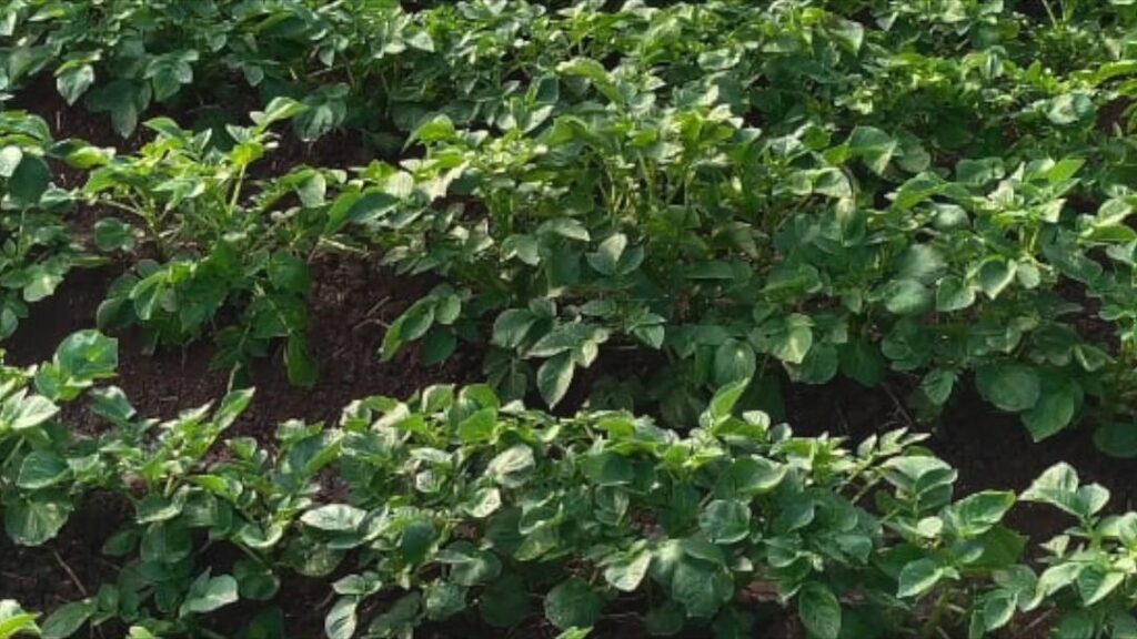
At Farmonaut, we’re excited to share our latest endeavor in the heart of India’s agricultural landscape. We’ve been actively engaged in potato farm mapping across Madhya Pradesh, a project that promises to reshape our understanding of crop area estimation and yield prediction. This comprehensive initiative combines cutting-edge technology with on-ground expertise, setting a new standard for precision agriculture in the region.
The Importance of Potato Cultivation in Madhya Pradesh
Madhya Pradesh, often referred to as the ‘Heart of India’, plays a crucial role in the country’s agricultural sector. Potatoes, in particular, have emerged as a significant crop in the state, contributing substantially to both local food security and economic growth. Understanding the extent and health of potato cultivation is vital for:
- Ensuring food security
- Optimizing resource allocation
- Enhancing farmer incomes
- Informing agricultural policy decisions
This is where our potato farm mapping project comes into play, leveraging advanced technologies to provide accurate, timely, and actionable insights.
The Power of Satellite-Based Crop Mapping
At Farmonaut, we harness the power of satellite technology to revolutionize crop mapping. Our advanced
crop mapping software utilizes high-resolution satellite imagery to create detailed maps of potato farms across Madhya Pradesh. This technology offers several advantages over traditional mapping methods:
- Wide Coverage: Satellites can cover vast areas quickly, allowing us to map entire districts and regions efficiently.
- Frequent Updates: Regular satellite passes enable us to monitor crop growth and changes over time.
- Non-Invasive: Satellite mapping doesn’t disturb crops or farming activities, making it ideal for continuous monitoring.
- Cost-Effective: Compared to ground-based surveys, satellite mapping is more economical, especially for large areas.
Our satellite-based approach forms the backbone of our
crop area estimation efforts, providing a comprehensive view of potato cultivation across the state.
Ground Truthing: The Key to Accuracy
While satellite technology provides us with a macro view, the accuracy of our mapping and estimation efforts relies heavily on ground truthing. This crucial step involves collecting on-site data to verify and calibrate our satellite observations. Our team of experts is actively engaged in gathering ground truth data across potato farms in Madhya Pradesh. This process includes:
- Verifying crop types and varieties
- Measuring plot sizes
- Assessing crop health and growth stages
- Documenting farming practices
By combining satellite imagery with ground truth data, we ensure the highest level of accuracy in our potato farm mapping and area estimation efforts.
The Impact on Potato Yield Estimation
One of the primary objectives of our mapping project is to improve
potato yield estimation. Accurate yield forecasts are crucial for various stakeholders in the agricultural sector, including farmers, policymakers, and agribusinesses. Our comprehensive mapping approach allows us to estimate:
- Potato yield per acre: By analyzing crop health indicators and historical data, we can provide localized yield estimates.
- Total production estimates: Combining area estimates with yield predictions gives us a clear picture of expected potato production in the region.
- Potential variations in potato crop yield per acre across different parts of Madhya Pradesh, helping identify high-performing areas and those that may need intervention.
These estimates are invaluable for planning, resource allocation, and market preparedness.
Farmonaut’s Technological Edge
At the heart of our potato farm mapping project is Farmonaut’s cutting-edge technology. Our platform integrates various advanced features to deliver comprehensive insights:
- AI-Powered Analysis: Our Jeevn AI Advisory System analyzes satellite data to provide personalized crop management advice.
- Real-Time Monitoring: Farmers and stakeholders can access up-to-date information on crop health and growth through our mobile app. Download for Android or Download for iOS.
- Weather Integration: Our system incorporates weather data to provide more accurate yield predictions and farming advice. Explore our Weather API documentation for more details.
- Blockchain Traceability: We’re implementing blockchain technology to ensure transparency and traceability in the potato supply chain.
These technologies work in synergy to provide a comprehensive solution for potato farm mapping and management.
Comparing Farmonaut’s Satellite System with Drone and IoT-Based Monitoring
| Feature |
Farmonaut Satellite System |
Drone-Based Monitoring |
IoT-Based Monitoring |
| Coverage Area |
Large scale (regional/national) |
Limited (local/farm level) |
Very limited (specific points) |
| Cost-Effectiveness |
High |
Medium |
Low (for large areas) |
| Data Frequency |
Regular (based on satellite passes) |
On-demand |
Continuous |
| Ease of Deployment |
Very easy (no on-site equipment) |
Moderate (requires skilled operators) |
Complex (requires installation and maintenance) |
| Weather Dependency |
Low (can penetrate clouds) |
High (affected by wind, rain) |
Low |
| Scalability |
Highly scalable |
Moderately scalable |
Limited scalability |
The Benefits for Stakeholders
Our potato farm mapping project in Madhya Pradesh offers numerous benefits to various stakeholders in the agricultural ecosystem:
For Farmers:
- Accurate insights into crop health and potential yield
- Early detection of issues like pest infestations or nutrient deficiencies
- Personalized advice for optimizing farming practices
- Better planning for harvest and market sales
For Policymakers:
- Reliable data for agricultural planning and policy formulation
- Improved allocation of resources and subsidies
- Enhanced food security management
- Better preparedness for potential shortages or surpluses
For Agribusinesses:
- Accurate forecasts for supply chain management
- Identification of high-potential sourcing areas
- Data-driven decisions for processing and storage capacities
- Enhanced traceability for quality assurance
For Researchers and Academia:
- Rich datasets for agricultural research and modeling
- Opportunities for developing improved crop varieties and farming techniques
- Insights into the impact of climate change on potato cultivation
The Future of Potato Farm Mapping
As we continue our potato farm mapping project in Madhya Pradesh, we’re excited about the future possibilities. We envision:
- Expanded Coverage: Extending our mapping efforts to other potato-growing regions across India.
- Enhanced AI Integration: Further refining our AI algorithms to provide even more accurate yield predictions and farming advice.
- Climate Resilience Planning: Using our data to help farmers and policymakers prepare for and mitigate the impacts of climate change on potato cultivation.
- Supply Chain Optimization: Developing advanced tools for streamlining the potato supply chain, from farm to fork.
- Cross-Crop Analysis: Applying our mapping techniques to other important crops, creating a comprehensive agricultural intelligence system.
We’re committed to continually improving our technology and expanding our services to support sustainable and profitable agriculture across India and beyond.
Join the Agricultural Revolution with Farmonaut
Our potato farm mapping project in Madhya Pradesh is just one example of how Farmonaut is revolutionizing agriculture through technology. We invite farmers, agribusinesses, researchers, and policymakers to join us in this journey towards smarter, more sustainable farming.
Explore our solutions and see how Farmonaut can transform your agricultural operations:
- Try our mobile app for real-time crop monitoring and personalized advice.
- Integrate our powerful satellite data API into your existing systems.
- Subscribe to our services to access comprehensive agricultural intelligence:
Together, we can build a more resilient, productive, and sustainable agricultural future.
Frequently Asked Questions (FAQ)
Q1: What is potato farm mapping?
A1: Potato farm mapping is the process of using satellite imagery and ground data to create detailed maps of potato cultivation areas. It helps in accurately estimating crop area, monitoring crop health, and predicting yields.
Q2: How accurate is satellite-based crop mapping?
A2: When combined with ground truthing data, satellite-based crop mapping can be highly accurate, often achieving accuracy rates of over 90% for crop type identification and area estimation.
Q3: How does Farmonaut’s technology improve potato yield estimates?
A3: Farmonaut uses a combination of high-resolution satellite imagery, AI-powered analysis, and ground truth data to provide accurate yield estimates. Our technology considers factors like crop health, historical data, and local conditions to predict yields more precisely than traditional methods.
Q4: Can small-scale farmers benefit from Farmonaut’s mapping technology?
A4: Absolutely! Our technology is scalable and accessible to farmers of all sizes. Small-scale farmers can use our mobile app to access personalized insights and advice for their specific plots.
Q5: How often is the satellite data updated?
A5: The frequency of updates depends on the satellite constellation used, but typically, we provide updates every 3-5 days, ensuring timely and relevant information for farmers and stakeholders.
Q6: Is Farmonaut’s technology applicable to crops other than potatoes?
A6: Yes, our technology can be applied to a wide range of crops. While this project focuses on potatoes in Madhya Pradesh, we have experience mapping and monitoring various crops across different regions.
Q7: How does weather data integration improve crop monitoring?
A7: Integrating weather data allows us to correlate crop health and growth patterns with specific weather conditions. This helps in providing more accurate yield predictions and tailored farming advice based on current and forecasted weather patterns.
Q8: What role does blockchain play in Farmonaut’s agricultural solutions?
A8: We use blockchain technology to enhance traceability in the agricultural supply chain. This ensures transparency, reduces fraud, and allows consumers to verify the origin and journey of their food products.
Q9: How can researchers access Farmonaut’s agricultural data?
A9: Researchers can access our data through our API services. We also collaborate with academic institutions on various research projects. Interested parties can contact us directly to discuss data access and collaboration opportunities.
Q10: What sets Farmonaut apart from other agricultural technology providers?
A10: Farmonaut stands out due to our comprehensive approach that combines satellite technology, AI, blockchain, and on-ground expertise. We offer scalable, affordable solutions that cater to individual farmers as well as large agribusinesses and government agencies.
We hope this blog post has provided you with valuable insights into our potato farm mapping project in Madhya Pradesh and the broader implications of our technology for the agricultural sector. At Farmonaut, we’re committed to driving innovation in agriculture, empowering farmers, and contributing to global food security. Join us in shaping the future of farming!
For more information or to start using our services, visit
Farmonaut.com or contact our team directly. Let’s cultivate a smarter, more sustainable agricultural future together!
 At Farmonaut, we’re excited to share our latest endeavor in the heart of India’s agricultural landscape. We’ve been actively engaged in potato farm mapping across Madhya Pradesh, a project that promises to reshape our understanding of crop area estimation and yield prediction. This comprehensive initiative combines cutting-edge technology with on-ground expertise, setting a new standard for precision agriculture in the region.
