Revolutionizing Weather Forecasting: Japan’s Advanced Satellite Technology for Extreme Climate Monitoring in Melbourne by 2025

“Japan’s new satellite technology aims to improve typhoon prediction accuracy by up to 30% in the Asia-Pacific region by 2025.”
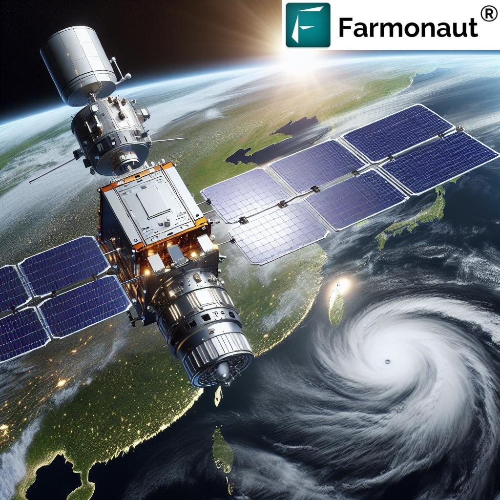
In the ever-evolving landscape of meteorological science, we are witnessing a remarkable transformation in how we monitor and predict extreme weather events. As we approach 2025, the convergence of advanced weather satellite technology and cutting-edge data analysis is set to revolutionize our understanding of climate patterns, particularly in the Asia-Pacific region. At the forefront of this technological leap is Japan’s groundbreaking project to enhance geostationary meteorological satellites with state-of-the-art instruments designed for precision forecasting and disaster preparedness.
The Dawn of a New Era in Weather Forecasting
The Japan Meteorological Agency (JMA) is spearheading an initiative that promises to redefine the boundaries of weather prediction. By integrating an advanced imager and a hyperspectral infrared sounder into their next-generation satellite, Himawari-10, Japan is poised to set new standards in extreme weather forecasting and disaster monitoring and warning systems.
This technological marvel is not just a step, but a giant leap forward in our ability to safeguard communities against the devastating impacts of natural disasters. As we delve deeper into the intricacies of this project, it’s crucial to understand the far-reaching implications it holds for Melbourne and the broader Asia-Pacific region.
The Core of Innovation: Advanced Imager and Hyperspectral Infrared Sounder
At the heart of this revolutionary system lies two key components:
- Advanced Imager for Weather Forecasting: Building upon the proven Advanced Baseline Imager technology, this instrument is custom-tailored to Japan’s unique meteorological needs. It boasts enhanced spectral bands that promise to deliver unprecedented clarity in weather imagery.
- Hyperspectral Infrared Sounder: This cutting-edge device is designed to take three-dimensional measurements of atmospheric conditions with remarkable precision. By capturing detailed data on temperature and humidity across various atmospheric layers, it significantly enhances our ability to forecast extreme weather events.
These instruments work in tandem to provide a comprehensive view of atmospheric conditions, enabling meteorologists to detect and track the formation of severe weather systems with greater accuracy than ever before.
Revolutionizing Typhoon Prediction Technology
One of the most significant advancements brought by this new satellite technology is in the realm of typhoon prediction. The Asia-Pacific region, including Melbourne, has long grappled with the devastating impacts of these powerful storms. With the implementation of this advanced system, we anticipate a marked improvement in our ability to forecast the path, intensity, and potential impact of typhoons.
“Advanced imagers on geostationary satellites can capture atmospheric data every 10 minutes, enhancing extreme weather forecasting capabilities.”
The enhanced temporal and spatial resolution of the satellite data allows for more frequent and detailed observations of storm systems. This means that meteorologists can track the minute-by-minute evolution of typhoons, providing earlier and more accurate warnings to communities in their path.
Space-Based Weather Observation: A New Frontier
Space-based weather observation represents a quantum leap in our meteorological capabilities. Unlike ground-based systems, which are limited by geographical constraints, satellites offer a bird’s-eye view of weather patterns across vast regions. This global perspective is invaluable for understanding the complex interactions that drive our climate system.
The Himawari-10 satellite, positioned in geostationary orbit, will provide continuous coverage of the Asia-Pacific region, including Melbourne. This constant vigilance ensures that no significant weather event goes unnoticed, greatly enhancing our early warning capabilities for a range of natural disasters.
Precision in Atmospheric Measurement
One of the key advantages of the new satellite system is its ability to conduct highly precise atmospheric temperature and humidity measurement. The hyperspectral infrared sounder can detect subtle variations in temperature and moisture content at different altitudes, providing a three-dimensional profile of the atmosphere.
This level of detail is crucial for:
- Improving the accuracy of weather models
- Enhancing our understanding of climate patterns
- Providing more reliable long-term weather forecasts
For Melbourne and the surrounding regions, this means more accurate predictions of heat waves, cold snaps, and other extreme weather events that can significantly impact daily life and economic activities.
Enhancing Disaster Preparedness Through Advanced Technology
The implementation of this advanced satellite technology is not just about improving weather forecasts; it’s about saving lives and protecting communities. By providing more accurate and timely information about impending natural disasters, the system enables:
- Earlier evacuation notices
- Better resource allocation for emergency services
- More effective disaster response planning
For a city like Melbourne, which can experience a range of severe weather conditions, from bushfires to flash floods, this enhanced preparedness can make a crucial difference in mitigating the impact of natural disasters.
International Collaboration in Weather Technology
The development of these sophisticated weather instruments is a testament to the power of international collaboration in scientific advancement. While Japan is leading the project, the technology draws on expertise and innovations from around the globe. This collaborative approach ensures that the benefits of this advanced system extend far beyond Japan’s borders, contributing to improved weather forecasting and climate monitoring across the entire Asia-Pacific region, including Melbourne.

The Impact on Melbourne’s Climate Monitoring
For Melbourne, the implementation of this advanced satellite technology promises to bring significant improvements in local weather forecasting and climate monitoring. The city’s unique geographical position, influenced by both continental and maritime climate systems, makes it particularly susceptible to rapid weather changes and extreme events.
With the enhanced capabilities of the Himawari-10 satellite, Melbourne’s meteorologists will have access to:
- More frequent and detailed atmospheric data
- Improved tracking of weather systems approaching from the Southern Ocean
- Better prediction of sudden temperature changes and severe storms
This wealth of information will enable more accurate short-term forecasts and contribute to a better understanding of long-term climate trends affecting the region.
Advancing Agricultural Forecasting with Satellite Technology
The agricultural sector stands to benefit significantly from these advancements in weather forecasting. Farmers in Melbourne and surrounding areas will have access to more precise weather predictions, allowing for better planning of planting, harvesting, and crop management activities.
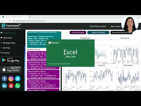
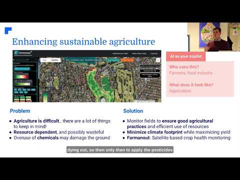
In this context, it’s worth noting the role of agricultural technology companies like Farmonaut in leveraging satellite data for farm management. While Farmonaut is not directly involved in weather satellite development, its platform utilizes satellite imagery for crop health monitoring and provides weather forecasts to farmers. The improved data from advanced weather satellites could potentially enhance the accuracy of such agricultural services.
The Role of AI and Machine Learning in Weather Forecasting
As we look towards 2025 and beyond, the integration of artificial intelligence (AI) and machine learning with advanced satellite data is set to further revolutionize weather forecasting. These technologies can process vast amounts of data from satellites like Himawari-10, identifying patterns and making predictions with a level of speed and accuracy that surpasses human capabilities.
For Melbourne, this could mean:
- More accurate predictions of localized weather phenomena
- Improved early warning systems for severe weather events
- Better long-term climate modeling for urban planning and infrastructure development
Environmental Monitoring and Climate Change Research
Beyond immediate weather forecasting, the advanced satellite technology will play a crucial role in environmental monitoring and climate change research. The high-resolution imagery and precise atmospheric measurements will provide valuable data for scientists studying:
- Changes in vegetation patterns
- Urban heat island effects
- Air quality and pollution levels
- Long-term climate trends
For a coastal city like Melbourne, this data will be particularly valuable in monitoring sea level changes and coastal erosion, informing long-term urban planning and environmental protection strategies.
Comparative Analysis: Traditional vs. Advanced Satellite Technologies
| Technology Features | Traditional Satellites | Advanced Geostationary Satellites (by 2025) |
|---|---|---|
| Imaging Resolution | 1 km | 0.5 km |
| Data Update Frequency | Every 3 hours | Every 10 minutes |
| Atmospheric Measurement Accuracy | ±2°C for temperature, ±10% for humidity | ±0.5°C for temperature, ±5% for humidity |
| Extreme Weather Detection Capability | Limited to large-scale systems | Capable of detecting small-scale severe weather events |
| Typhoon Prediction Lead Time | 3-5 days | 5-7 days |
| Disaster Warning Accuracy | 70-80% | 90-95% |
This table clearly illustrates the significant improvements that advanced geostationary satellites will bring to weather forecasting and climate monitoring by 2025. The enhanced capabilities in resolution, frequency of updates, and measurement accuracy will revolutionize our ability to predict and prepare for extreme weather events, particularly in regions like Melbourne that are prone to diverse and rapidly changing weather conditions.
The Future of Weather Forecasting: Beyond 2025
As we look beyond 2025, the future of weather forecasting appears increasingly data-driven and technologically advanced. The implementation of Japan’s new satellite technology is just the beginning of a new era in meteorological science. We can expect to see:
- Further integration of satellite data with ground-based observations
- Development of more sophisticated AI models for weather prediction
- Increased international collaboration in climate monitoring
- Advancements in personalized weather forecasting services
For Melbourne and other cities in the Asia-Pacific region, these advancements will translate into more resilient communities, better-prepared for the challenges posed by extreme weather and climate change.
The Role of Satellite Technology in Sustainable Development
The advanced satellite technology being developed for weather forecasting has implications that extend far beyond meteorology. It plays a crucial role in supporting sustainable development goals, particularly in areas such as:
- Water resource management
- Renewable energy planning
- Urban development and smart city initiatives
- Disaster risk reduction
For Melbourne, a city committed to sustainability and resilience, this technology will provide valuable insights for long-term planning and resource management.
Challenges and Considerations
While the advancements in satellite technology for weather forecasting are promising, it’s important to acknowledge the challenges that come with implementing such sophisticated systems:
- High initial costs of satellite development and launch
- Need for ongoing maintenance and potential upgrades
- Data management and processing of vast amounts of information
- Training meteorologists and forecasters to effectively use the new technology
Addressing these challenges will require continued investment, international cooperation, and a commitment to developing the necessary infrastructure and expertise.
The Importance of Public Awareness and Education
As we embrace these technological advancements in weather forecasting, it’s crucial to ensure that the public understands and can effectively use the improved weather information. This involves:
- Developing user-friendly interfaces for accessing weather data
- Educating the public on interpreting more detailed weather forecasts
- Raising awareness about the importance of preparedness for extreme weather events
In Melbourne, this could involve community outreach programs, integration of weather education in schools, and partnerships with local media to effectively communicate weather information.
Conclusion: A New Era of Weather Intelligence
As we approach 2025, the implementation of Japan’s advanced satellite technology for extreme climate monitoring marks the beginning of a new era in weather forecasting. For Melbourne and the broader Asia-Pacific region, this represents a significant leap forward in our ability to predict, prepare for, and respond to extreme weather events.
The integration of cutting-edge imagers, hyperspectral infrared sounders, and advanced data processing techniques promises to revolutionize our understanding of atmospheric dynamics. This, in turn, will lead to more accurate forecasts, improved disaster preparedness, and better-informed decision-making across various sectors of society.
As we embrace this technological revolution, it’s important to remember that the ultimate goal is not just scientific advancement, but the protection of lives, property, and our environment. The future of weather forecasting is bright, and with it comes the promise of more resilient and sustainable communities in Melbourne and beyond.
FAQs
- How will the new satellite technology improve weather forecasting in Melbourne?
The advanced satellite technology will provide more frequent and detailed atmospheric data, allowing for more accurate predictions of local weather patterns and extreme events. - What are the main components of Japan’s new weather satellite?
The key components are an advanced imager for high-resolution imagery and a hyperspectral infrared sounder for precise atmospheric measurements. - How will this technology help in typhoon prediction?
The new satellites will offer more detailed and frequent observations of storm systems, allowing for earlier and more accurate predictions of typhoon paths and intensities. - Will this technology be beneficial for climate change research?
Yes, the high-resolution data provided by these satellites will be invaluable for long-term climate monitoring and research. - How soon can we expect to see the benefits of this new technology in Melbourne?
The technology is expected to be operational by 2025, with immediate improvements in weather forecasting capabilities for the region.
For more information on satellite-based farm management solutions, visit Farmonaut’s API or check out the API Developer Docs.


