Unlocking Queensland’s Rural Potential: Farmonaut’s Satellite-Powered Precision Farming Revolution
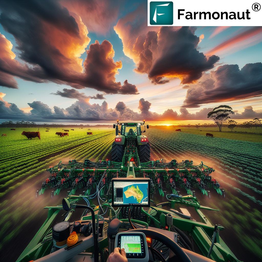
“Farmonaut’s satellite imagery covers over 1 million hectares of Queensland farmland, revolutionizing precision agriculture practices.”
G’day, fellow Queenslanders and agricultural enthusiasts! We’re thrilled to take you on a journey through the lush fields and sprawling farms of our beloved state, where a quiet revolution is taking place. In this comprehensive exploration, we’ll uncover how Farmonaut’s cutting-edge satellite imagery for agriculture and precision farming technologies are transforming our rural communities and agricultural practices.
Queensland, with its diverse landscapes and rich agricultural heritage, has always been at the forefront of farming innovation. Today, we’re witnessing a new era in agriculture, one where satellites orbiting high above our heads are helping farmers make smarter decisions, achieve better yields, and contribute to a more sustainable future.
The Dawn of Satellite-Powered Farming in Queensland
Gone are the days when farmers relied solely on traditional methods and gut instincts. While these still play a crucial role, the integration of satellite technology has opened up a whole new world of possibilities. Farmonaut, a pioneering agricultural technology company, is at the forefront of this revolution, offering advanced, satellite-based farm management solutions that are changing the game for Queensland’s agricultural sector.
Let’s dive into how this technology is making waves across our sun-kissed state:
- Real-time Crop Monitoring: Imagine being able to check on your crops’ health without stepping foot in the field. That’s now a reality for many Queensland farmers.
- Precision Resource Management: Water is precious in our often-drought-stricken state. Satellite data helps optimize irrigation, ensuring not a drop is wasted.
- Weather Forecasting: In a land of extremes, accurate weather predictions can make or break a season. Farmonaut’s technology provides detailed, localized forecasts.
- Soil Health Analysis: Understanding soil conditions has never been easier, allowing for targeted improvements and better crop selection.
Revolutionizing Rural Communities
The impact of this satellite-powered revolution extends far beyond individual farms. It’s breathing new life into our rural communities, creating opportunities and fostering a sense of innovation that’s attracting young people back to the land. Here’s how:
- Job Creation: The need for tech-savvy professionals in rural areas is growing, diversifying the job market.
- Education: Schools and universities are updating their curricula to include precision agriculture, preparing the next generation of farmers.
- Community Events: Tech workshops and satellite data interpretation sessions are becoming common fixtures in rural community calendars.
- Improved Infrastructure: The push for better connectivity to support these technologies is benefiting entire communities.
Agribusiness Insights: A New Perspective
For agribusinesses in Queensland, the satellite revolution is providing unprecedented insights. From large-scale cattle stations in the outback to intensive horticultural operations along the coast, businesses are leveraging this technology to make informed decisions and stay ahead of the curve.
Key areas where agribusinesses are seeing benefits include:
- Market Forecasting: Satellite data helps predict yield and quality, informing market strategies.
- Risk Management: Early detection of crop diseases or pest infestations allows for swift action.
- Supply Chain Optimization: Better yield predictions lead to more efficient logistics planning.
- Investor Relations: Concrete data and analytics improve transparency and attract investment.
Explore Farmonaut’s API for advanced agribusiness insights
Sustainable Agriculture Practices: A Satellite’s View
Sustainability is no longer just a buzzword; it’s a necessity. Queensland farmers are increasingly adopting sustainable agriculture practices, and satellite technology is playing a crucial role in this shift. Here’s how:
- Precision Application of Inputs: Reduce waste and environmental impact by applying fertilizers and pesticides only where and when needed.
- Water Conservation: Satellite-based soil moisture monitoring helps optimize irrigation schedules.
- Carbon Sequestration: Monitor and quantify carbon capture in soils and vegetation, opening up new revenue streams through carbon credits.
- Biodiversity Monitoring: Track changes in native vegetation and wildlife habitats over time.
“Queensland farmers using Farmonaut’s technology have reported up to 30% increase in crop yields within the first year of adoption.”
Crop Monitoring Solutions: Eyes in the Sky
One of the most revolutionary aspects of satellite-powered farming is the ability to monitor crops with unprecedented detail and frequency. For Queensland farmers, this means:
- Early Problem Detection: Spot issues like nutrient deficiencies or pest infestations before they become visible to the naked eye.
- Growth Tracking: Monitor crop development stages across vast areas, ensuring timely interventions.
- Yield Estimation: Make data-driven harvest plans and market predictions.
- Post-Harvest Analysis: Evaluate the success of different management practices for continuous improvement.
Check out Farmonaut’s API Developer Docs for in-depth crop monitoring capabilities
Livestock Management Systems: A New Frontier
It’s not just crops benefiting from this technology. Queensland’s vast cattle stations and sheep farms are also reaping the rewards of satellite-powered solutions. Here’s how:
- Pasture Management: Monitor grazing lands to ensure optimal feed availability and prevent overgrazing.
- Herd Tracking: Use satellite data in conjunction with GPS collars to monitor herd movements and behavior.
- Water Point Monitoring: Ensure water sources are adequately supplied, especially in remote areas.
- Fence Line Inspection: Quickly identify areas of the property that may need maintenance or attention.
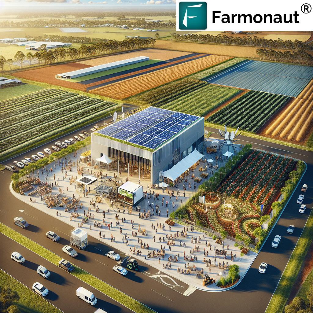
Weather and Farming: A Match Made in the Clouds
In Queensland, where weather can be as unpredictable as a kangaroo’s hop, having accurate and timely weather information is crucial. Farmonaut’s satellite technology provides:
- Hyperlocal Forecasts: Get weather predictions specific to your property, not just the nearest town.
- Historical Weather Data: Analyze past weather patterns to make informed planting and harvesting decisions.
- Severe Weather Alerts: Receive early warnings about approaching storms, heatwaves, or frost events.
- Climate Change Monitoring: Track long-term changes in weather patterns to adapt farming practices accordingly.
Digital Farming Subscriptions: Stay Connected, Stay Informed
To make the most of these technological advancements, many Queensland farmers are turning to digital farming subscriptions. These services, like those offered by Farmonaut, provide:
- Regular Satellite Imagery: Get frequent updates on your farm’s condition.
- Data Analysis Tools: User-friendly interfaces to interpret complex satellite data.
- Mobile Apps: Access your farm’s data anytime, anywhere.
- Expert Support: Get help from agronomists and tech experts when you need it.
Agricultural Machinery Innovations: Smart Machines for Smart Farming
The satellite revolution isn’t just about data; it’s also driving innovations in agricultural machinery. In Queensland, we’re seeing:
- GPS-Guided Tractors: Precision planting and harvesting with minimal waste.
- Drone Integration: Using drones in conjunction with satellite data for even more detailed field analysis.
- Smart Irrigation Systems: Automated watering based on real-time soil moisture data.
- Variable Rate Technology: Apply inputs at varying rates across a field based on satellite-derived prescription maps.
Agtech and Landcare: A Sustainable Partnership
The marriage of agtech and landcare is creating exciting opportunities for sustainable growth in Queensland. Here’s how:
- Precision Conservation: Target conservation efforts where they’re needed most based on satellite data.
- Erosion Monitoring: Track and prevent soil erosion with regular satellite imagery.
- Reforestation Planning: Identify optimal areas for tree planting and monitor growth over time.
- Wildlife Corridor Mapping: Use satellite data to plan and maintain wildlife corridors across agricultural lands.
The Future of Farming: What’s on the Horizon?
As we look to the future, the potential for satellite-powered farming in Queensland seems limitless. Some exciting developments on the horizon include:
- AI Integration: Artificial intelligence will help interpret satellite data even more effectively, providing actionable insights with minimal human intervention.
- Blockchain Traceability: Combine satellite data with blockchain technology for unparalleled supply chain transparency.
- Virtual Reality Farm Tours: Use satellite and drone imagery to create immersive VR experiences, connecting consumers with where their food comes from.
- Satellite-Guided Robotics: The next generation of farm robots will use satellite data for navigation and task planning.
Comparing Traditional and Satellite-Powered Farming
To truly appreciate the impact of satellite technology on Queensland’s agriculture, let’s compare traditional farming methods with Farmonaut’s satellite-powered approach:
| Aspect | Traditional Farming Methods | Farmonaut’s Satellite-Powered Farming |
|---|---|---|
| Crop Monitoring | Weekly manual field inspections | Daily satellite imagery analysis |
| Weather Forecasting | Reliance on regional forecasts | Hyperlocal predictions based on satellite data |
| Resource Management | Uniform application across fields | Precision application based on real-time data |
| Yield Prediction | 60-70% accuracy based on historical data | 85-95% accuracy using AI and satellite imagery |
| Environmental Impact | Higher resource use, potential overuse of inputs | Optimized resource use, reduced environmental footprint |
Embracing the Satellite-Powered Future
As we’ve explored throughout this blog, the satellite-powered precision farming revolution is transforming Queensland’s agricultural landscape. From improving crop yields and optimizing resource use to fostering sustainable practices and revitalizing rural communities, the benefits are far-reaching and profound.
Farmonaut’s innovative technologies are at the forefront of this revolution, providing farmers, agribusinesses, and rural communities with the tools they need to thrive in an increasingly complex and challenging agricultural environment. By embracing these advancements, Queensland’s agricultural sector is positioning itself as a global leader in smart, sustainable farming practices.
The future of farming in Queensland is bright, and it’s being illuminated by the satellites orbiting high above our sunburnt country. As we continue to innovate and adapt, we’re not just feeding the world – we’re nurturing the land, supporting our communities, and building a resilient agricultural sector that will stand the test of time.
So, whether you’re a farmer looking to optimize your operations, an agribusiness seeking cutting-edge solutions, or simply someone passionate about the future of agriculture, we invite you to join us in this exciting journey. Together, we can unlock Queensland’s rural potential and cultivate a future where technology and tradition work hand in hand to create a thriving, sustainable agricultural landscape.
Farmonaut Subscriptions
Frequently Asked Questions
Q: How accurate is satellite imagery for crop monitoring?
A: Satellite imagery used by Farmonaut can be extremely accurate, often detecting crop health issues days or even weeks before they’re visible to the naked eye. The technology can provide insights with up to 95% accuracy in many cases.
Q: Is satellite-powered farming only for large-scale operations?
A: Not at all! While large farms can certainly benefit, Farmonaut’s technology is designed to be accessible and beneficial for farms of all sizes. Even small-scale farmers can gain valuable insights and improve their operations using satellite data.
Q: How often is satellite data updated?
A: The frequency of updates can vary depending on the specific service and satellite used. However, many of Farmonaut’s services provide updates every few days, ensuring farmers have access to timely and relevant information.
Q: Can satellite technology help with livestock management?
A: Absolutely! Satellite data can be used to monitor pasture health, track herd movements (when combined with GPS collars), and even help with water resource management in grazing lands.
Q: How does satellite-powered farming contribute to sustainability?
A: By providing precise data on crop health, soil conditions, and resource needs, satellite technology helps farmers optimize their use of water, fertilizers, and pesticides. This not only reduces costs but also minimizes the environmental impact of farming operations.
Q: Is special training required to use satellite-powered farming tools?
A: While some basic training can be helpful, Farmonaut’s tools are designed to be user-friendly. Many farmers find they can start benefiting from the technology with minimal training, and support is always available for those who need it.
Remember, the future of farming is here, and it’s powered by satellites. Join us in embracing this technology to create a more sustainable, productive, and prosperous agricultural sector in Queensland and beyond!


