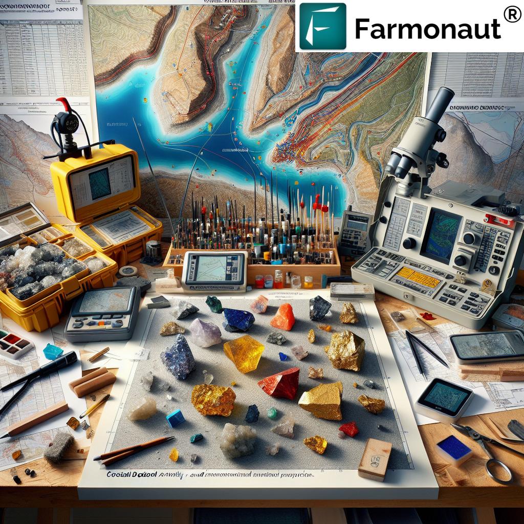
Farmonaut: Revolutionizing Critical Minerals Exploration in Ontario with Advanced Remote Sensing Technology
“Newfoundland mineral claim deal involves 28 claims covering 7 sq. km, focusing on critical minerals exploration.”
In the ever-evolving landscape of mineral exploration, we at Farmonaut are excited to shed light on a groundbreaking development that’s set to transform the critical minerals sector in Ontario, Canada. As experts in remote sensing technology and agricultural science, we recognize the immense potential that advanced satellite imagery and data analytics bring to the field of mineral exploration. Today, we’ll delve into how our cutting-edge technology is revolutionizing the way critical minerals are discovered and assessed in Ontario’s rich geological terrain.
The Rising Importance of Critical Minerals Exploration
Critical minerals exploration has taken center stage in the global mining industry, with recent developments in Newfoundland, Canada, highlighting its growing significance. The mineral claims agreement in Newfoundland serves as a prime example of the increasing focus on gold and antimony mining within the region’s mineral exploration projects. This strategic move underscores the vital role these resources play in various industries and the global economy.
At Farmonaut, we understand the complexities involved in mineral exploration and the need for precise, data-driven approaches. Our advanced remote sensing technology offers a unique solution to the challenges faced by exploration companies, providing unparalleled insights into potential mineral deposits across vast and often inaccessible terrains.

Leveraging Satellite Technology for Mineral Exploration
Our approach to critical minerals exploration in Ontario combines the power of satellite imagery with sophisticated AI algorithms. This synergy allows us to analyze vast areas of land quickly and efficiently, identifying geological features and anomalies that may indicate the presence of valuable minerals. Here’s how our technology is making a difference:
- Multispectral Imaging: We utilize multispectral satellite data to detect subtle changes in vegetation and soil composition, which can be indicators of underlying mineral deposits.
- Geological Mapping: Our advanced algorithms process satellite imagery to create detailed geological maps, helping exploration teams focus their efforts on the most promising areas.
- Temporal Analysis: By analyzing images captured over time, we can identify changes in the landscape that might suggest mineral occurrences or geological events of interest.
This innovative approach significantly reduces the time and resources required for initial exploration phases, allowing companies to make more informed decisions about where to concentrate their ground-based exploration efforts.
The Yellow Fox Project: A Case Study in Modern Mineral Exploration
To illustrate the potential of our technology, let’s examine the recent acquisition agreement involving the Yellow Fox project in Newfoundland. This deal, which encompasses 28 mineral claims spanning 7 sq. km, exemplifies the type of project where Farmonaut’s remote sensing capabilities can provide substantial value.
The Yellow Fox property, located approximately 10 km southwest of Glenwood, is particularly interesting due to its position on the same mineral trend as a former antimony mine. This geological context makes it a prime candidate for critical minerals exploration, especially given the recent surge in antimony prices – up by an astounding 250% in early 2025.
Here’s how our technology could enhance exploration efforts at Yellow Fox:
- Preliminary Assessment: Our satellite-based analysis could provide an initial overview of the property’s geological features, helping to identify potential target areas for more detailed exploration.
- Soil Sampling Optimization: By analyzing vegetation health and soil characteristics through our remote sensing data, we can guide soil sampling programs for more effective gold detection.
- Drilling Site Selection: Our advanced algorithms can help pinpoint the most promising locations for future drilling initiatives, maximizing the chances of resource discovery.
The Role of Remote Sensing in Mineral Trend Analysis
One of the most powerful applications of our technology is in mineral trend analysis. By examining large-scale geological patterns and structures across Ontario, we can identify potential extensions of known mineral trends and discover new ones. This capability is particularly valuable in regions like the one hosting the Yellow Fox project, where understanding the broader geological context can lead to significant discoveries.
Our satellite-based mineral trend analysis offers several advantages:
- Comprehensive Coverage: We can analyze vast areas quickly, providing a bird’s-eye view of regional geological structures.
- Historical Data Integration: By incorporating historical satellite imagery, we can track changes over time and identify long-term geological processes.
- Cost-Effective Exploration: Our remote sensing approach allows companies to prioritize areas for ground-based exploration, reducing overall exploration costs.
“Antimony prices surged 250% in early 2025, highlighting the growing importance of critical minerals in Canada.”
This remarkable price increase underscores the significance of critical minerals like antimony in the global supply chain. As demand continues to grow, particularly in industries such as semiconductors and flame retardants, the need for efficient and effective exploration methods becomes ever more crucial.
Enhancing Exploration and Drilling Initiatives
At Farmonaut, we’re committed to supporting exploration and drilling initiatives with our cutting-edge remote sensing technology. Our services can significantly enhance these efforts in several ways:
- Target Identification: Our AI-powered analysis of satellite imagery can highlight areas with high potential for mineralization, helping to focus drilling efforts.
- Environmental Monitoring: We provide real-time monitoring of exploration sites, ensuring compliance with environmental regulations and identifying any potential issues early on.
- Logistics Planning: Our detailed terrain analysis assists in planning access routes and determining the best locations for equipment setup, optimizing the overall exploration process.
By integrating our remote sensing capabilities into their exploration strategies, mining companies can significantly improve their chances of success while minimizing environmental impact and reducing costs.

The Impact on Ontario’s Mining Industry
The application of Farmonaut’s advanced remote sensing technology in critical minerals exploration has the potential to significantly impact Ontario’s mining industry. Here’s how:
- Accelerated Discovery: Our technology can speed up the process of identifying promising mineral deposits, potentially leading to more rapid development of new mines.
- Reduced Exploration Costs: By focusing ground-based exploration efforts on the most promising areas, companies can significantly reduce their exploration budgets.
- Environmental Stewardship: Our precise targeting capabilities mean less disturbance to the environment during the exploration phase.
- Economic Growth: More efficient exploration could lead to increased mining activity, contributing to Ontario’s economic growth and job creation.
As the demand for critical minerals continues to rise, Ontario is well-positioned to become a key player in the global supply chain. Our technology at Farmonaut is here to support this growth, ensuring that exploration efforts are as effective and efficient as possible.
The Future of Critical Minerals Exploration
As we look to the future of critical minerals exploration in Ontario and beyond, several key trends are emerging:
- Integration of AI and Machine Learning: Advanced algorithms will continue to improve our ability to interpret satellite data, leading to even more accurate predictions of mineral deposits.
- Increased Focus on Sustainability: Remote sensing technology will play a crucial role in ensuring that exploration activities are conducted in an environmentally responsible manner.
- Collaboration Between Technology and Geology: The most successful exploration projects will likely be those that effectively combine cutting-edge technology with traditional geological expertise.
- Expansion of Critical Minerals Portfolio: As technology evolves, new minerals may be added to the list of critical resources, expanding the scope of exploration efforts.
At Farmonaut, we’re committed to staying at the forefront of these trends, continuously improving our technology to meet the evolving needs of the mining industry.
Comparative Analysis: Traditional vs. Remote Sensing-Based Exploration
| Aspect | Traditional Exploration | Remote Sensing-Based Exploration |
|---|---|---|
| Initial Assessment | Time-consuming ground surveys | Rapid satellite-based analysis |
| Coverage Area | Limited by physical access | Vast areas can be analyzed quickly |
| Cost Efficiency | Higher initial costs for ground operations | Lower initial costs, more targeted ground follow-up |
| Environmental Impact | Potentially higher due to extensive ground activities | Minimal impact during initial stages |
| Data Integration | Often siloed data from different sources | Integrated analysis of multiple data types |
| Time to Discovery | Can be lengthy due to sequential nature of exploration | Potentially faster due to parallel processing of large datasets |
This comparison highlights the significant advantages that remote sensing-based exploration, such as that offered by Farmonaut, brings to the critical minerals sector. While traditional methods remain important, especially in later stages of exploration, the integration of advanced remote sensing technology can dramatically improve the efficiency and effectiveness of initial exploration efforts.
Leveraging Farmonaut’s Technology for Your Exploration Projects
For mining companies and exploration teams looking to leverage our advanced remote sensing technology in their critical minerals exploration projects, Farmonaut offers a range of services and tools:
- Satellite-Based Mineral Mapping: Our high-resolution satellite imagery and advanced algorithms can help identify potential mineral deposits across large areas.
- AI-Powered Data Analysis: We use sophisticated machine learning models to analyze geological data and predict the most promising exploration targets.
- Custom Exploration Reports: Our team can provide detailed reports tailored to your specific exploration needs, integrating multiple data sources for comprehensive insights.
- Real-Time Monitoring: Keep track of your exploration sites with our real-time satellite monitoring services, ensuring you’re always up-to-date on site conditions and changes.
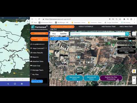
To get started with Farmonaut’s remote sensing solutions for your critical minerals exploration projects, visit our web application or explore our API services for seamless integration with your existing systems.

For those who prefer mobile access, our applications are available for both Android and iOS devices:


Conclusion: Shaping the Future of Critical Minerals Exploration
As we’ve explored throughout this article, the landscape of critical minerals exploration is rapidly evolving, with advanced remote sensing technology playing a pivotal role in shaping its future. The recent developments in Newfoundland’s Yellow Fox project serve as a prime example of the growing importance of efficient and effective exploration methods in the face of increasing demand for critical minerals.
At Farmonaut, we’re proud to be at the forefront of this technological revolution, offering cutting-edge solutions that can significantly enhance exploration efforts in Ontario and beyond. Our satellite-based technology, combined with advanced AI and machine learning algorithms, provides a powerful tool for identifying potential mineral deposits, optimizing exploration strategies, and ultimately contributing to the sustainable development of critical mineral resources.
As the global demand for these essential minerals continues to grow, driven by advancements in technology and the transition to renewable energy sources, the role of innovative exploration methods becomes increasingly crucial. By leveraging Farmonaut’s remote sensing capabilities, mining companies and exploration teams can not only improve their chances of success but also do so in a more cost-effective and environmentally responsible manner.
We invite mining professionals, geologists, and industry stakeholders to explore how Farmonaut’s technology can revolutionize their approach to critical minerals exploration. Together, we can unlock the full potential of Ontario’s rich mineral resources, contributing to economic growth, technological advancement, and a more sustainable future.
FAQs
- How does Farmonaut’s technology differ from traditional mineral exploration methods?
Farmonaut’s technology uses advanced satellite imagery and AI algorithms to analyze vast areas quickly, providing insights that would take much longer with traditional ground-based methods. This allows for more efficient targeting of potential mineral deposits. - Can remote sensing completely replace ground-based exploration?
While remote sensing is a powerful tool, it complements rather than replaces ground-based exploration. It helps to focus ground efforts on the most promising areas, making the overall exploration process more efficient. - How accurate is satellite-based mineral detection?
Satellite-based mineral detection has become increasingly accurate with advancements in technology. While it cannot provide definitive proof of mineral deposits, it can identify areas with high potential, significantly improving the success rate of subsequent ground exploration. - What types of critical minerals can be detected using Farmonaut’s technology?
Our technology can assist in the exploration of various critical minerals, including gold, antimony, rare earth elements, and others. The specific minerals detectable depend on their geological signatures and surface expressions. - How does Farmonaut’s technology contribute to sustainable mining practices?
By enabling more targeted exploration, our technology helps reduce the environmental footprint of mining activities. It allows companies to focus their efforts on areas with the highest potential, minimizing unnecessary disturbance to the surrounding ecosystem.
Earn With Farmonaut
Earn 20% recurring commission with Farmonaut’s affiliate program by sharing your promo code and helping farmers save 10%. Onboard 10 Elite farmers monthly to earn a minimum of $148,000 annually—start now and grow your income!
For more information on our affiliate program, visit Farmonaut Affiliate Program.
Farmonaut Subscriptions


