Revolutionizing Manitoba Agriculture: How Remote Sensing and Precision Farming Boost Crop Yields and Efficiency
“Remote sensing in agriculture can identify up to 5 key applications, including soil moisture assessment and nutrient management.”
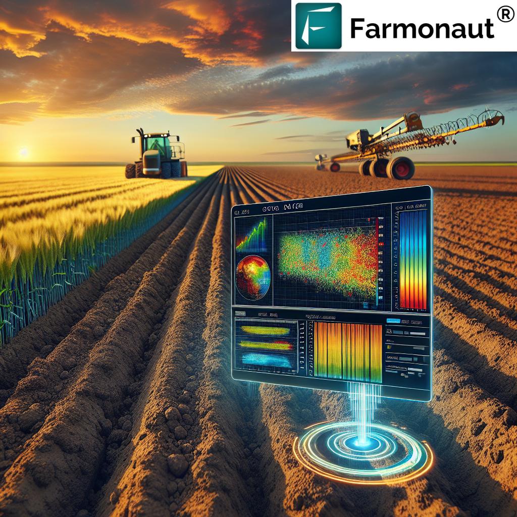
In the heart of Canada’s prairies, Manitoba’s agricultural landscape is undergoing a transformative revolution. As we delve into the world of precision agriculture technologies and remote sensing in farming, we’re witnessing a paradigm shift that’s reshaping the way we approach crop health monitoring, soil management, and yield prediction techniques. At Farmonaut, we’re at the forefront of this agricultural renaissance, leveraging cutting-edge GIS and remote sensing tools to empower farmers and revolutionize the industry.

The Dawn of Precision Agriculture in Manitoba
Manitoba, with its vast expanses of farmland and diverse crop portfolio ranging from wheat and canola to soybeans and corn, is an ideal canvas for the implementation of precision agriculture technologies. As we navigate the challenges posed by climate change and the need for sustainable agriculture practices, the integration of remote sensing and data-driven farming is not just an option – it’s a necessity.
Precision agriculture, at its core, is about doing more with less. It’s about optimizing every input – water, fertilizers, pesticides – to maximize output while minimizing environmental impact. And at the heart of this optimization lies remote sensing technology.
Remote Sensing: The Eyes in the Sky
Remote sensing in farming has emerged as a game-changer for Manitoba’s agricultural sector. By harnessing the power of satellite imagery, drones, and other aerial platforms, we can now gather a wealth of information about our crops and fields without setting foot on them. This bird’s-eye view provides invaluable insights that were previously unattainable or required extensive manual labor to collect.
- Spectral Imaging: Capturing light reflectance beyond the visible spectrum
- Thermal Sensing: Measuring temperature variations across fields
- LiDAR: Creating detailed 3D maps of terrain and crop structure
These technologies, when combined with advanced data analytics and AI, form the backbone of modern precision farming.
Five Key Applications of Remote Sensing in Manitoba Agriculture
Let’s explore the five pivotal applications of remote sensing that are transforming Manitoba’s agricultural landscape:
1. Soil Moisture Assessment
Water is the lifeblood of agriculture, and managing it efficiently is crucial, especially in regions prone to drought or excess rainfall. Remote sensing technologies enable precise soil moisture assessment, allowing farmers to make informed decisions about irrigation schedules and water management strategies.
- Satellite-based microwave sensors can penetrate the soil surface to measure moisture content
- Thermal imaging reveals temperature variations that indicate moisture levels
- Vegetation indices like NDWI (Normalized Difference Water Index) provide insights into plant water content
By leveraging these tools, Manitoba farmers can optimize their water use, reducing waste and ensuring crops receive just the right amount of hydration.
2. Nutrient Management in Agriculture
Efficient nutrient management is key to maximizing crop yields while minimizing environmental impact. Remote sensing plays a crucial role in this aspect of precision agriculture:
- Multispectral imaging can detect variations in chlorophyll content, indicating nutrient deficiencies
- Hyperspectral sensors can identify specific nutrient shortages based on unique spectral signatures
- Time-series analysis of vegetation indices helps track nutrient uptake throughout the growing season
With this information, farmers can apply fertilizers with pinpoint accuracy, reducing overuse and preventing nutrient runoff into water bodies.
3. Weed Management Strategies
Weeds are a perennial challenge for Manitoba farmers, competing with crops for resources and potentially harboring pests and diseases. Remote sensing offers innovative approaches to weed management:
- High-resolution imagery can detect weed patches within crop fields
- Spectral analysis distinguishes between crop and weed species
- Machine learning algorithms can map weed distribution and predict spread patterns
This data enables targeted herbicide application, reducing chemical use and minimizing environmental impact while effectively controlling weed populations.
4. Crop Health Monitoring
Early detection of crop health issues is crucial for preventing yield losses. Remote sensing provides farmers with a powerful tool for monitoring crop health across vast areas:
- Vegetation indices like NDVI (Normalized Difference Vegetation Index) reveal overall plant vigor
- Thermal imaging can detect water stress and potential disease outbreaks
- Hyperspectral data can identify specific pest infestations or nutrient deficiencies
By catching problems early, farmers can intervene promptly, potentially saving entire harvests from devastation.
5. Yield Prediction Techniques
Accurate yield prediction is essential for farm planning, market forecasting, and food security assessments. Remote sensing has revolutionized yield prediction techniques:
- Time-series analysis of vegetation indices correlates with final yield
- Machine learning models integrate remote sensing data with historical yields and weather patterns
- Radar technology can estimate crop biomass, a key indicator of potential yield
These advanced prediction methods help farmers, agribusinesses, and policymakers make informed decisions about harvest planning, storage, and distribution.
| Application | Traditional Method | Remote Sensing Method | Estimated Efficiency Gain |
|---|---|---|---|
| Soil Moisture Assessment | Manual soil sampling | Satellite-based soil moisture mapping | 30% improvement in water use efficiency |
| Nutrient Management | Blanket fertilizer application | Multispectral imaging for targeted application | 25% reduction in fertilizer use |
| Weed Management | Uniform herbicide spraying | High-resolution imagery for spot treatment | 40% decrease in herbicide usage |
| Crop Health Monitoring | Visual field inspections | NDVI and thermal imaging analysis | 50% faster detection of crop stress |
| Yield Prediction | Historical data and manual estimates | AI-powered analysis of satellite data | 20% increase in prediction accuracy |
“Precision farming techniques using remote sensing can analyze spectral imaging data to detect pests and diseases early in crops.”
The Role of GIS in Precision Agriculture
Geographic Information Systems (GIS) play a crucial role in integrating and analyzing the vast amounts of spatial data generated through remote sensing. GIS tools allow farmers and agronomists to:
- Create detailed, layered maps of their fields
- Analyze spatial patterns in crop health, soil properties, and yield
- Plan and optimize field operations based on spatial data
- Track changes over time and assess the impact of management decisions
At Farmonaut, we leverage advanced GIS capabilities to provide our users with intuitive, actionable insights derived from complex spatial datasets.
Data-Driven Farming: The Future of Agriculture
The integration of remote sensing, GIS, and precision agriculture technologies is ushering in a new era of data-driven farming. This approach offers numerous benefits:
- Resource Optimization: Precise application of water, fertilizers, and pesticides
- Cost Reduction: Minimizing inputs while maximizing outputs
- Environmental Stewardship: Reducing the environmental footprint of agriculture
- Increased Productivity: Boosting yields through targeted interventions
- Risk Management: Early detection and mitigation of crop threats
By embracing these technologies, Manitoba farmers are not only improving their bottom line but also contributing to more sustainable agriculture practices.
Farmonaut: Empowering Manitoba Farmers with Cutting-Edge Technology
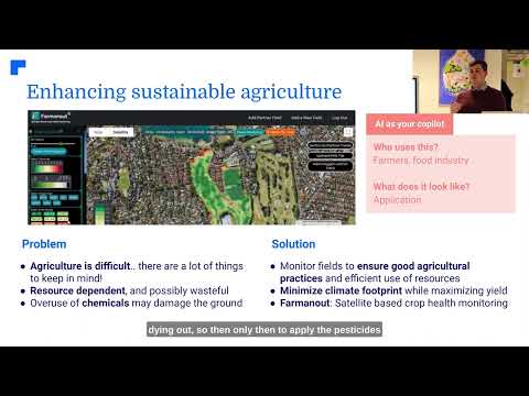
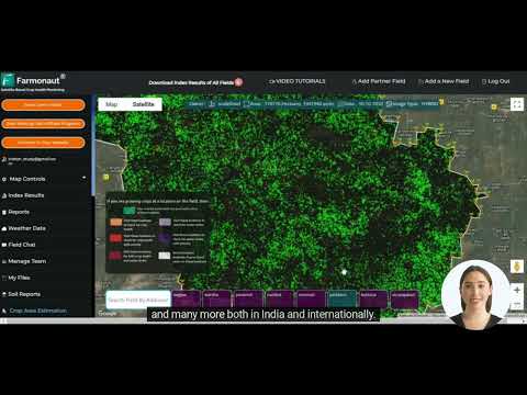
At Farmonaut, we’re committed to making precision agriculture accessible and affordable for farmers across Manitoba and beyond. Our platform integrates satellite imagery, AI, and machine learning to provide farmers with:
- Real-time crop health monitoring
- Personalized farm advisory through our Jeevn AI system
- Weather forecasts and alerts tailored to specific field locations
- Yield prediction and harvest planning tools
Our user-friendly interface allows farmers to access these powerful tools through web and mobile applications, putting the power of precision agriculture in the palm of their hands.
Overcoming Challenges in Adoption
While the benefits of precision agriculture and remote sensing are clear, there are challenges to widespread adoption in Manitoba:
- Initial Investment: The cost of technology and equipment can be a barrier for some farmers
- Technical Expertise: Learning to use new tools and interpret data requires training
- Data Privacy: Concerns about the security and ownership of farm data
- Connectivity: Reliable internet access in rural areas is crucial for real-time data processing
At Farmonaut, we’re addressing these challenges by offering affordable, scalable solutions and providing comprehensive support and training to our users. We’re also committed to maintaining the highest standards of data security and privacy.
The Broader Impact: Beyond the Farm
The adoption of precision agriculture and remote sensing technologies in Manitoba has implications that extend far beyond individual farms:
- Food Security: Improved yields and resource efficiency contribute to regional and global food security
- Environmental Conservation: Reduced chemical use and better land management practices benefit ecosystems
- Economic Growth: The agritech sector creates new jobs and economic opportunities in rural areas
- Climate Resilience: Data-driven farming helps adapt to changing climate patterns
- Research and Innovation: Precision agriculture drives agricultural research and technological innovation
By embracing these technologies, Manitoba is positioning itself as a leader in sustainable, high-tech agriculture.
Looking to the Future: Emerging Trends in Precision Agriculture
As we look ahead, several exciting trends are shaping the future of precision agriculture in Manitoba:
- Integration of IoT Devices: Smart sensors and connected equipment for real-time field monitoring
- Advanced AI and Machine Learning: More sophisticated predictive models and decision support systems
- Drone Technology: High-resolution, on-demand aerial imaging and even autonomous crop spraying
- Robotics: Autonomous vehicles for planting, weeding, and harvesting
- Blockchain: Enhancing traceability and transparency in the agricultural supply chain
At Farmonaut, we’re constantly innovating to stay at the forefront of these technological advancements, ensuring that Manitoba farmers have access to the most cutting-edge tools available.
Conclusion: A New Era for Manitoba Agriculture
The revolution in Manitoba agriculture, driven by remote sensing and precision farming technologies, is transforming the way we grow food, manage resources, and interact with our environment. By embracing these innovations, Manitoba farmers are not only boosting crop yields and efficiency but also paving the way for a more sustainable and resilient agricultural future.
At Farmonaut, we’re proud to be part of this agricultural renaissance, providing the tools and insights that empower farmers to make informed decisions, optimize their operations, and thrive in an ever-changing world. As we continue to push the boundaries of what’s possible in precision agriculture, we invite Manitoba’s farmers, agronomists, and agricultural innovators to join us in shaping the future of farming.
Together, we can build an agricultural sector that is not only more productive and profitable but also more sustainable and in harmony with the natural world. The future of Manitoba agriculture is bright, and with precision farming and remote sensing leading the way, the possibilities are truly limitless.
Ready to revolutionize your farming practices? Explore Farmonaut’s cutting-edge solutions and join the precision agriculture movement today!
For developers interested in integrating our powerful satellite and weather data into their own applications, check out our API and API Developer Docs.
FAQs
Q: What is precision agriculture?
A: Precision agriculture is a farming management concept that uses technology to observe, measure, and respond to variability in crops. It involves using data from various sources, including remote sensing, to make targeted decisions about planting, fertilizing, and harvesting crops.
Q: How does remote sensing benefit farmers in Manitoba?
A: Remote sensing provides Manitoba farmers with valuable data on crop health, soil moisture, nutrient levels, and more. This information allows for more precise management of resources, early detection of issues, and optimized decision-making, ultimately leading to improved yields and reduced environmental impact.
Q: Is precision agriculture expensive to implement?
A: While there can be initial costs associated with adopting precision agriculture technologies, many solutions, like Farmonaut’s platform, are designed to be affordable and scalable. The long-term benefits in terms of improved efficiency and yields often outweigh the initial investment.
Q: How accurate are yield predictions using remote sensing?
A: Yield predictions using remote sensing have become increasingly accurate, with some models achieving accuracy rates of 80-90%. However, the accuracy can vary depending on factors such as crop type, environmental conditions, and the quality of historical data used in the predictive models.
Q: Can small-scale farmers benefit from precision agriculture technologies?
A: Absolutely! Many precision agriculture tools, including Farmonaut’s platform, are designed to be accessible and beneficial for farms of all sizes. Small-scale farmers can use these technologies to optimize their operations, reduce costs, and improve yields, just like larger operations.


