Precision Farming

Revolutionizing Palm Oil Production: Farmonaut’s Satellite-AI Based Farm Intelligence

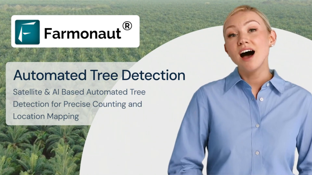
In the ever-evolving agricultural landscape, oil palm plantations play a crucial role in meeting the global demand for vegetable oil. As the industry faces numerous challenges, a groundbreaking solution has emerged to revolutionize plantation management: Farmonaut’s Satellite-AI Based Farm Intelligence system for automated oil palm tree detection and mapping.

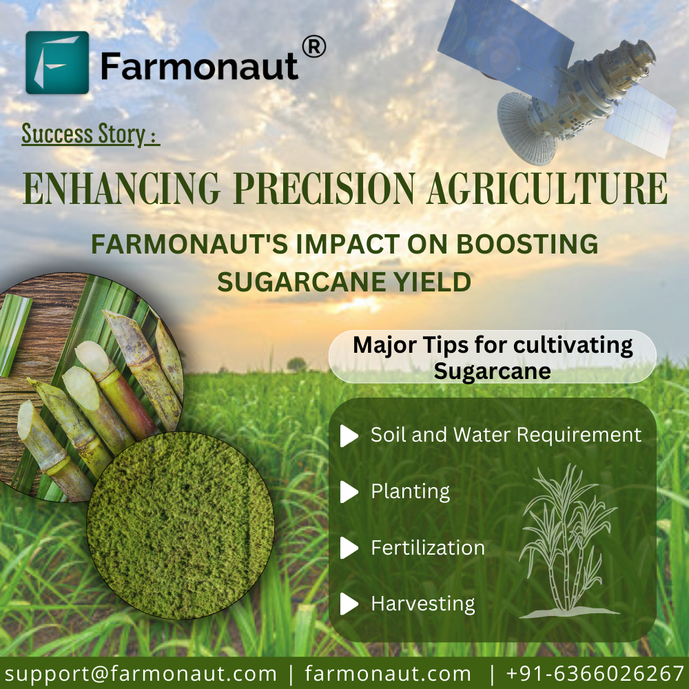
Enhancing Precision Agriculture: Farmonaut’s Impact on Boosting Sugarcane Yields

Introduction Sugarcane, a tall, perennial grass of the genus Saccharum, is primarily cultivated for sugar production. It is a robust tropical plant that contributes to about 70% of the world’s sugar production and has a great potential for biomass and biofuel production. It is the most important source of sugar production in India, with about 359 million tonnes produced annually. In the 2022-23 sugar season, approximately 360 million tons of sugar is anticipated to be procured by sugar mills. The Fair and Remunerative Price (FRP) for sugarcane, as approved for the same period, is Rs. 305 per quintal. The average sugarcane yield in India ranges from 80 to 100 tonnes per hectare. Uttar Pradesh leads as the highest sugarcane-producing state, followed by Maharashtra and Karnataka The current agriculture scenario in the sugarcane sector is rapidly evolving with the integration of satellite technology. Satellite-based monitoring systems enable efficient and effective monitoring of sugarcane plantations, allowing for the delineation of field boundaries, tracking of crop growth across vast areas, and monitoring of soil moisture levels. Challenges Affecting India’s Sugarcane Sector The sugarcane sector in India faces several challenges, including stagnating production, price regulations, unstable sugarcane market, and water scarcity. Some of the key challenges faced by the sector are: Stagnating Production: Sugarcane production in India has stagnated in the last 20 years, with farmers producing around 70 tonnes per hectare. By 2030, they will need to produce around 100-110 tonnes per hectare to meet the increasing demand for sugar. Price Regulations: Sugar, being an essential commodity, is controlled through various regulatory mechanisms in India, including minimum prices. However, the sugar price for consumers is not regulated, making sugar manufacturers vulnerable. Unstable Sugarcane Market: The unstable sugarcane market poses a significant challenge for the sector, as it affects the prices paid to farmers and the overall profitability of sugarcane cultivation. Water Scarcity: India is facing an increasing lack of water, which can impact crop yields and the overall sustainability of sugarcane cultivation. Low Yield of Sugarcane: Despite being the largest producer of sugarcane in the world, India’s yield per hectare is extremely low compared to some of the major sugarcane-producing countries. This leads to low overall production and results in a short supply of sugarcane to sugar mills Economic and Social Injustices: Sugarcane farmers in India are dealing with various economic and social injustices. A majority of those dependent on sugarcane farming are small and marginal farmers, and the cultivation of the crop is their primary source of income. These farmers are vulnerable to price fluctuations and face economic and social injustices Source: Indian Council of Agriculture Research Source: Indian Council of Agriculture Research Transforming the landscape of Precision Agriculture with Farmonaut Sugarcane farming in India faces numerous challenges, impacting both yield and sustainability. Thankfully, innovative solutions like Farmonaut can equip farmers with the tools and insights to overcome these hurdles and cultivate sweeter success. Let’s explore how Farmonaut can address key challenges in the sugarcane industry: 1. Fluctuating Sugar Prices: Market Intelligence: Farmonaut provides real-time market data and analysis, empowering farmers to make informed decisions about planting, harvesting, and selling their sugarcane based on anticipated price trends. 2. Water Scarcity: Precision Irrigation: Farmonaut leverages satellite imagery, soil moisture sensors, and weather data to recommend customized irrigation schedules, optimizing water usage and minimizing wastage. Drought-Resistant Varieties: The platform provides information on high-yielding, drought-resistant sugarcane varieties suitable for specific regions, helping farmers adapt to water scarcity. 3. Climate Change: Climate-Smart Practices: Farmonaut offers guidance on adopting climate-resilient practices like cover cropping, mulching, and integrated pest management, mitigating the impact of extreme weather events. Crop Monitoring: Satellite imagery and on-field sensors enable real-time crop health monitoring, allowing farmers to identify and address climate-related stresses promptly. 4. Pest and Disease Management: Targeted Application: The platform guides farmers in applying fertilizers, pesticides, and herbicides only where and when necessary, reducing the cost of inputs and environmental impact. 5. Yield Optimization: Data-Driven Insights: Farmonaut analyzes farm data to identify yield-limiting factors like soil deficiencies, inadequate irrigation, or pest infestations, guiding farmers towards corrective actions. Precision Agriculture: The platform recommends optimal planting densities, fertilizer application rates, and harvesting times based on specific field conditions, maximizing yield potential. Effective Methods for Managing Sugarcane Farm Losses: Case Study  Understanding the Impact on Production Loss A conducted study revealed that  50% of agricultural losses can be directly attributed to the deficiencies in water and nitrogen. Tamil Nadu Agricultural University (TNAU) reports that regions, including Tamil Nadu and nearby states, witness approximately 20% loss in sugarcane yield. TNAU additionally notes a 15% decrease in sugar yield, attributing the losses to insects like borers, sucking pests, and soil-dwelling insects..  The complexity of the problem deepens as the research identifies an extensive array of approximately 200 insect species affecting sugarcane. Optimize Operations with Farmonaut Management Farmonaut Technologies provides satellite-based services to help farmers manage their sugarcane farms more effectively. By utilizing satellite images and data, farmers can address issues such as water deficiency, pest and disease infestations, and declining yields. The technology allows for early detection of these problems, enabling farmers to take necessary actions to mitigate losses and improve crop health.  Additionally, Farmonaut’s services include crop health monitoring, water stress assessment, and crop area and yield estimation, all of which are crucial for optimizing farming practices and increasing yields.  The innovative technological interventions for sugarcane improvement, production, and management have helped the industry progress towards a more sustainable and self-reliant future. Exploring Success: Case Studies of Successful and Satisfied Farmer (Mr. Ashok Shinde : Shree Datta Shetkari Sahakari Sakhar Karkhana Ltd.) Mr. Ashok Shinde, a sugarcane farmer from Maharashtra, has effectively utilized Farmonaut Services to address irrigation challenges and monitor crop health. By leveraging NDMI, NDWI, and evapotranspiration data, he optimized his irrigation strategies, leading to improved yields.  The reports generated by Farmonaut Services also provided valuable insights into crop health, temperature, pests, and diseases, enabling Mr. Shinde to take proactive measures to control pest and disease intrusions.  In addition to addressing irrigation

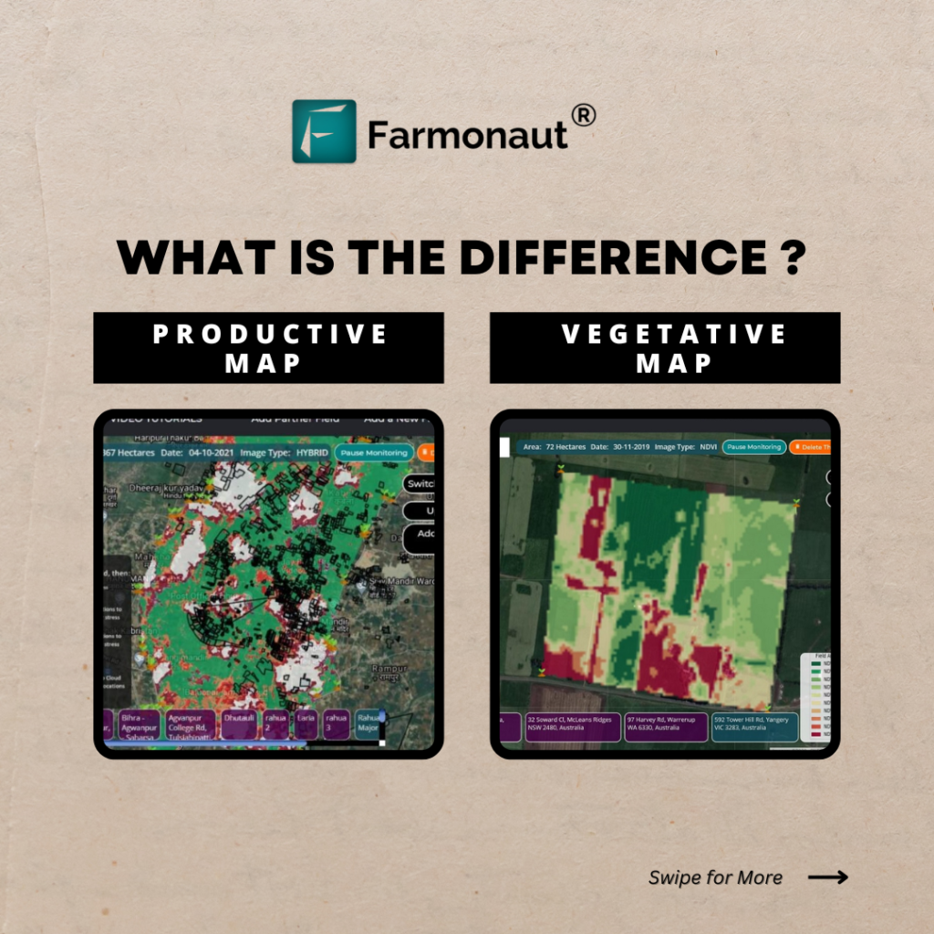
Vegetative Map and Productive Map

Precision agriculture is the use of technology to manage crops more efficiently and sustainably. One of the key tools used in precision agriculture is satellite imagery. Satellite imagery can be used to create maps of crop health and yield potential, which can help farmers make better decisions about how to manage their crops. Farmonaut with the aim of promoting precision agriculture uses satellite imagery to create two types of maps the Vegetative Map and the Productive Map. The Vegetative Map shows the health and growth of the crop, based on the NDVI (Normalized Difference Vegetation Index) value of each pixel in the image. The NDVI value is a measure of how much green vegetation is present in a pixel. A higher NDVI value indicates healthier and more vigorous vegetation. The Productive Map shows the potential yield of the crop, based on the NDVI value, the soil type, and the weather conditions. The Productive Map can be used to identify areas of the field that are underperforming, so that farmers can take corrective action. Normalized Difference Vegetation Index – NDVI NDVI assesses the condition of plant health by analyzing how plants reflect light at specific wavelengths. While these light wavelengths are not directly visible to us, everything in our environment, including plants, reflects light across both visible and non-visible spectrums. By quantifying the extent to which particular wavelengths are reflected, we gain insights into the present state of the plants. This technique allows us to indirectly gauge the health of plants based on their light reflection patterns. The NDVI image differs in the Productive and Vegetative Map of Farmonaut in the following ways:   The Productive Map uses the NDVI value, the soil type, and the weather conditions to estimate the yield potential of the crop.   The Vegetative Map only uses the NDVI value to measure the health and growth of the crop. The NDVI image differs in the Productive and Vegetative Map of Farmonaut in the following ways: The Productive Map uses the NDVI value, the soil type, and the weather conditions to estimate the yield potential of the crop. The Vegetative Map only uses the NDVI value to measure the health and growth of the crop. In general, the Vegetative Map is more useful for short-term decision-making, such as identifying areas of the field that need to be irrigated or fertilized. The Productive Map is more useful for long-term planning, such as planning crop planting and harvesting. Here are some examples of how the Vegetative Map and Productive Map can be used by farmers: Identifying areas of stress or poor health. The Vegetative Map can be used to identify areas of the field that are stressed or unhealthy. This information can be used to irrigate or fertilize those areas to improve crop health.  Planning crop planting and harvesting. The Productive Map can be used to plan crop planting and harvesting. For example, if an area of the field has a high NDVI value, it may be a good place to plant a high-yield crop. The farmer can also use the Productive Map to plan the timing of harvesting, so that the crop is harvested at its peak yield.  Monitoring crop progress over time. The Vegetative Map and Productive Map can be used to monitor the progress of a crop over time. This can be helpful for identifying areas of the field that are not performing as expected, so that corrective action can be taken early.  Identifying and addressing problems early on. The Vegetative Map and Productive Map can be used to identify and address problems early on. For example, if a crop is not growing as quickly as expected, the farmer can use the Vegetative Map to see if there is a problem with the soil quality or water availability. Overall, the Vegetative Map and Productive Map are powerful tools that can help farmers improve crop yields and profitability.  Find out about the features more here : https://farmonaut.com/satellite-imagery

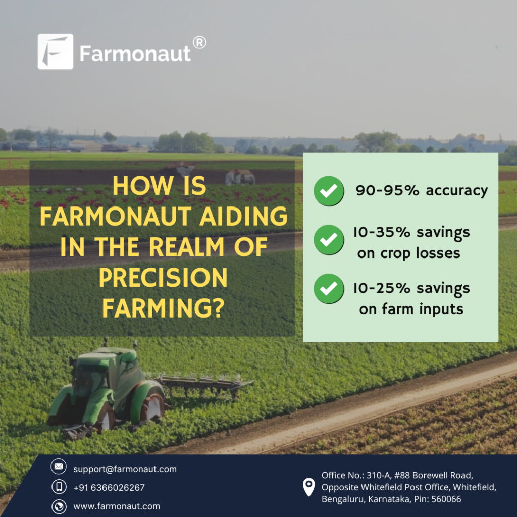
How Is Farmonaut Aiding In The Realm Of Precision Farming?

INTRODUCTION Precision farming entails the strategic integration of advanced technologies, data analytics, and artificial intelligence to optimize various aspects of agriculture. This modern approach allows farmers to make informed decisions, enhance productivity, minimize resource wastage, and ensure sustainable practices. By making use of data-driven insights, farmers can tailor their actions to specific areas of their fields, leading to more efficient resource allocation and improved overall yield. The Farmonaut Advantage: Empowering Farmers Through Data-Driven Insights Farmornaut is a leading provider of precision agriculture technology and services. The company’s platform uses satellite imagery, weather data, and other data sources to help farmers make better decisions about their crops. Farmornaut’s platform offers a variety of features that can help farmers in precision agriculture, including: Farmonaut advocates the power of remote sensing and satellite imagery to provide farmers with an unprecedented level of visibility into their fields. By employing the most sophisticated satellites equipped with various sensors, the platform captures high-resolution images of agricultural landscapes. These images are then processed and transformed into valuable insights for farmers. Through remote sensing, Farmonaut can monitor crop health, track growth patterns, and detect anomalies across vast areas of farmland. This remote monitoring capability is especially beneficial for large-scale farms where physically inspecting every corner is impractical. Farmonaut’s integration of artificial intelligence (AI) algorithms overhauls the crop health analysis. The platform uses advanced computer vision techniques to analyze various indicators of crop health, with a primary focus on the Normalized Difference Vegetation Index (NDVI). NDVI is a key metric that assesses the vigor and vitality of plants based on their reflectance of near-infrared and visible light. By analyzing NDVI data collected from satellite imagery, Farmonaut can identify early signs of stress, disease, or nutrient deficiencies. This proactive approach enables farmers to intervene promptly and implement targeted interventions to safeguard their crops and optimize yields. Farmonaut’s predictive models introduce a new level of precision to the art of yield estimation. By analyzing historical data, weather patterns, soil conditions, and other relevant factors, the platform generates accurate predictions of crop yields. These yield estimates are crucial for farmers to plan their harvesting and distribution strategies effectively. Instead of relying solely on traditional methods that may be prone to inaccuracies, farmers can use Farmonaut’s data-driven predictions to optimize their resources and make informed decisions. This helps reduce waste, maximize profits, and streamline the overall agricultural process. Navigating the Challenges involved Implementing Farmonaut’s precision farming techniques comes with its share of challenges. These include: Ensuring data accuracy and quality from remote sensing and satellite imagery, interpreting complex AI-generated insights, and managing the initial financial investment pose hurdles for farmers. Integrating the platform with existing practices, addressing privacy concerns related to data sharing, and providing comprehensive training are additional obstacles. Moreover, the need for reliable technological infrastructure, continuous monitoring, and adapting to changing environmental factors all contribute to the complexity of adopting Farmonaut. Despite these challenges, the potential benefits in maximizing yields, optimizing resource utilization, and promoting sustainable practices underscore the significance of overcoming these obstacles to fully embrace the transformative power of precision farming. Overcoming Challenges In the dynamic landscape of modern agriculture, Farmonaut’s precision farming techniques offer remarkable potential while presenting intricate challenges. Farmonaut tackles these obstacles through a blend of innovative tools and strategies. Utilizing the satellite imaging technology, the platform employs radiometric calibration and advanced machine learning algorithms to enhance data accuracy and quality.Spectral indices such as NDVI and NDRE, coupled with AI-driven pattern recognition facilitate data interpretation, rendering complex datasets easily understandable through intuitive visualizations. Farmonaut’s tiered subscription model, compatibility with IoT sensors, cloud-based infrastructure, and a mobile application with AI capabilities ensure a cost-effective and technologically accessible solution. The platform integrates seamlessly with established farm management systems through APIs, while employing blockchain technology, encryption techniques, and differential privacy measures to ensure data security and farmer confidentiality. Apart from this, Farmonaut also provides comprehensive training and education. Through the harmonious convergence of these technical solutions, Farmonaut propels precision farming into a new era, empowering farmers to optimize yields, conserve resources, and navigate the complexities of modern agriculture with confidence. Farmonaut’s contribution to the precision farming was highlighted by the Mexico Business News in their article titled “Mexico To Build Precision Agriculture Infrastructure” on account of Mexico ESG Summit, 2023 Click here In essence, Farmonaut’s innovative utilization of remote sensing, satellite imagery, AI algorithms, and predictive modeling creates a synergy that empowers farmers with actionable insights. By providing them with a comprehensive view of their fields’ health, growth, and potential yields, Farmonaut enables farmers to make informed choices that can significantly impact the success of their crops and the sustainability of their farming practices.

Scroll to Top