Revolutionizing Agriculture: How Satellite Imagery and GIS Are Transforming Precision Farming with Farmonaut
“Satellite imagery can provide daily updates on crop health for over 10,000 acres of farmland simultaneously.”
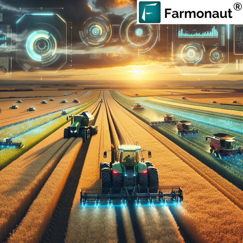
In the ever-evolving landscape of agriculture, we are witnessing a remarkable transformation driven by cutting-edge technologies. At the forefront of this revolution are satellite imagery and Geographic Information Systems (GIS), which are reshaping the way we approach farming. In this comprehensive exploration, we’ll delve into how these innovative tools are revolutionizing precision farming, with a special focus on the groundbreaking solutions offered by Farmonaut.
The Dawn of Precision Agriculture
Precision agriculture represents a paradigm shift in farming practices, leveraging advanced technologies to optimize crop yields, minimize resource waste, and enhance overall farm productivity. At its core, precision farming relies on detailed, timely information about field conditions, crop health, and environmental factors. This is where satellite imagery and GIS come into play, providing unprecedented insights that were once unimaginable.
Satellite Imagery: The Eyes in the Sky
Satellite imagery for agriculture has become an indispensable tool in modern farming. These orbiting sentinels provide a continuous stream of high-resolution images, capturing vast areas of farmland with remarkable detail. Let’s explore how this technology is transforming various aspects of agriculture:
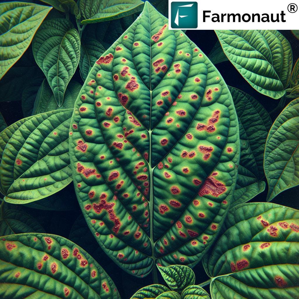
- Crop Health Monitoring: Satellites equipped with multispectral sensors can detect subtle changes in plant health long before they’re visible to the naked eye. By analyzing the reflectance of different wavelengths of light, farmers can identify areas of stress, disease, or nutrient deficiency with pinpoint accuracy.
- Soil Moisture Analysis: Advanced satellite technology can penetrate the earth’s surface to assess soil moisture levels, helping farmers optimize irrigation schedules and conserve water resources.
- Yield Prediction: By tracking crop growth patterns over time, satellite data can be used to generate accurate yield forecasts, enabling better planning and resource allocation.
- Land Use Changes: Satellite imagery provides a historical record of land use, allowing farmers and policymakers to track changes in agricultural practices and their impact on the environment.
Farmonaut harnesses the power of satellite imagery to provide farmers with daily updates on their fields. This timely information empowers agriculturists to make data-driven decisions, addressing issues promptly and maximizing crop potential.
GIS: Mapping the Future of Farming
Geographic Information Systems (GIS) serve as the backbone for integrating and analyzing spatial data in agriculture. These powerful tools allow farmers to visualize, interpret, and manage their land with unprecedented precision. Here’s how GIS applications in agriculture are making a difference:
- Field Mapping: GIS enables the creation of detailed, layered maps that combine various data sources, from soil types to topography, providing a comprehensive view of each field.
- Variable Rate Application: By integrating GIS with farm equipment, farmers can apply inputs like fertilizers and pesticides at variable rates across their fields, optimizing resource use and reducing environmental impact.
- Crop Rotation Planning: GIS tools help farmers plan optimal crop rotations by analyzing historical data and soil conditions, improving long-term soil health and productivity.
- Risk Assessment: By overlaying weather data with field information, GIS can help identify areas at risk of flooding, erosion, or other environmental hazards.
Farmonaut’s platform integrates advanced GIS capabilities, allowing farmers to analyze multiple field parameters simultaneously. This comprehensive approach to data analysis enables more informed decision-making and efficient farm management.
The Synergy of Satellite Imagery and GIS in Precision Farming
When satellite imagery and GIS are combined, they create a powerful synergy that forms the foundation of precision farming. This integration allows for:
- Real-time Monitoring: Farmers can track changes in their fields on a daily basis, enabling rapid response to emerging issues.
- Historical Analysis: By comparing current data with historical records, farmers can identify trends and make more informed long-term decisions.
- Predictive Modeling: Advanced algorithms can use satellite and GIS data to predict future crop performance and potential risks.
- Precision Resource Management: The combination of spatial data and detailed imagery allows for highly targeted application of water, fertilizers, and pesticides.
Farmonaut’s platform exemplifies this synergy, offering a comprehensive suite of tools that leverage both satellite imagery and GIS to provide actionable insights for farmers.
Farmonaut: Pioneering Precision Farming Solutions
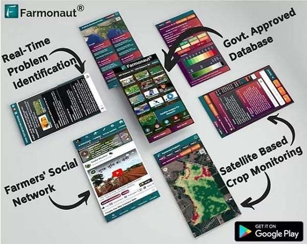
Farmonaut stands at the forefront of agricultural innovation, offering a range of cutting-edge solutions that make precision farming accessible to farmers of all scales. Let’s explore some of the key features that set Farmonaut apart:
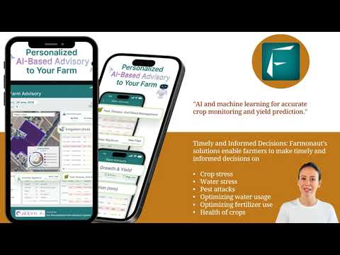
- Daily Satellite Imagery: Farmonaut provides daily updates on crop health, allowing farmers to monitor their fields with unprecedented frequency and detail.
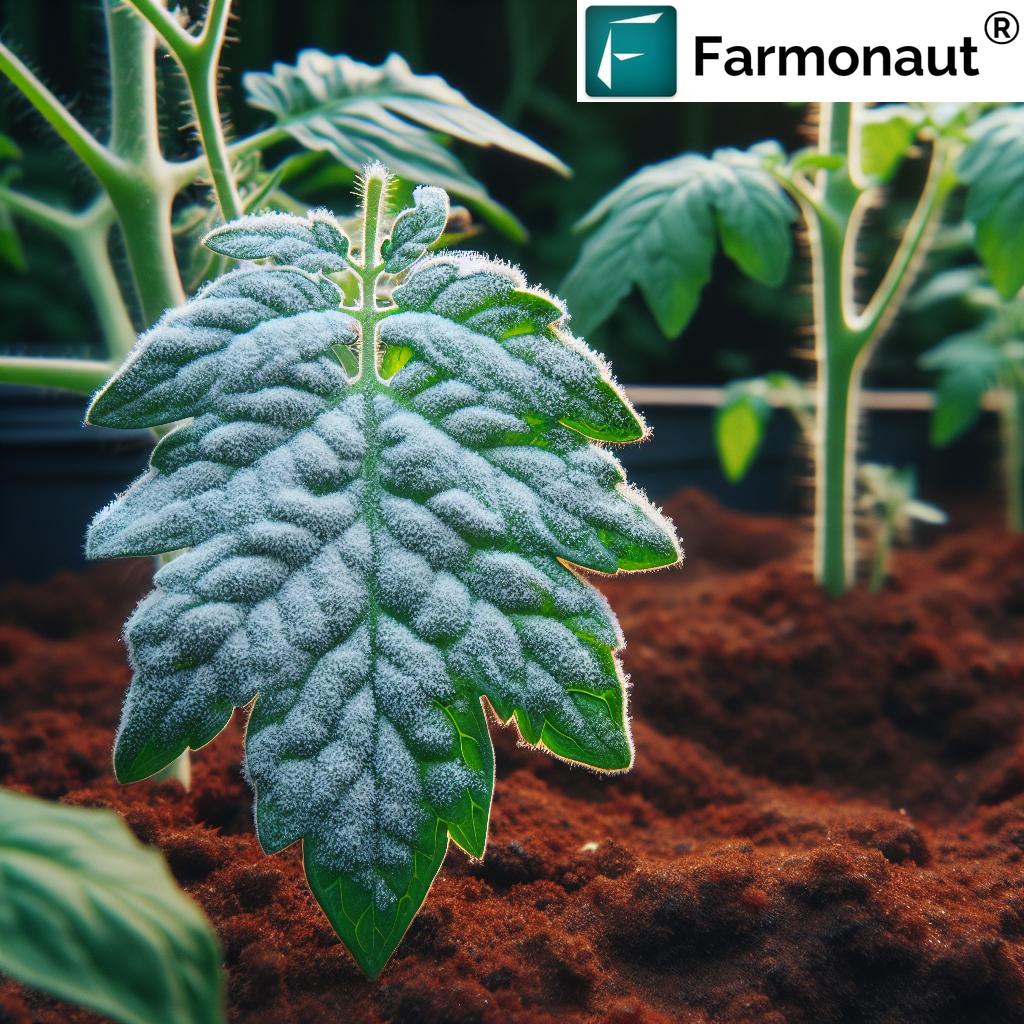
- AI-Powered Analytics: Advanced algorithms analyze satellite data to detect early signs of crop stress, disease, or nutrient deficiencies.
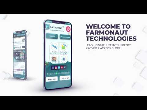
- User-Friendly Interface: Farmonaut’s platform is designed for ease of use, making complex data accessible and actionable for farmers.
- Integration Capabilities: The system can integrate with existing farm management software and machinery, streamlining operations and data flow.
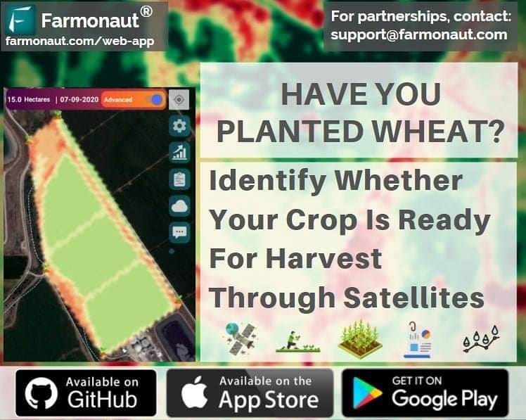
Farmonaut’s commitment to innovation extends to its diverse range of accessibility options. Explore their solutions through various platforms:
For developers looking to integrate Farmonaut’s powerful capabilities into their own applications, explore the API and API Developer Docs.
The Impact of Precision Farming on Agricultural Productivity
The adoption of precision farming technologies, powered by satellite imagery and GIS, is having a profound impact on agricultural productivity. Here are some key areas where we’re seeing significant improvements:
- Increased Crop Yields: By optimizing inputs and addressing issues promptly, farmers can significantly increase their yields.
- Resource Efficiency: Precision application of water, fertilizers, and pesticides reduces waste and environmental impact.
- Cost Reduction: More efficient use of resources and early problem detection lead to overall cost savings for farmers.
- Environmental Sustainability: Precision farming practices contribute to reduced chemical runoff and more sustainable land use.
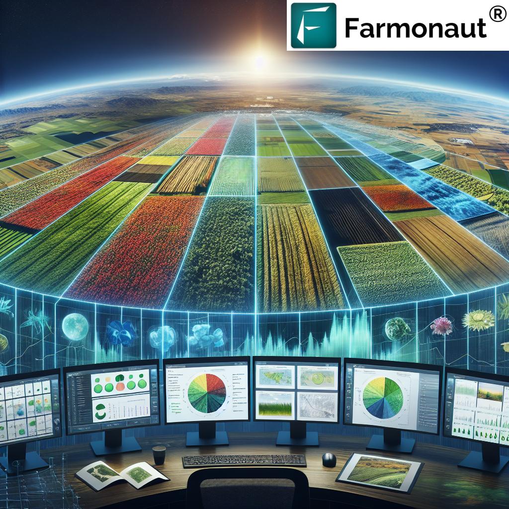
“Farmonaut’s GIS technology enables farmers to analyze up to 20 different field parameters in real-time for precision agriculture.”
Overcoming Challenges in Precision Farming
While the benefits of precision farming are clear, there are challenges that need to be addressed for widespread adoption:
- Data Interpretation: The volume of data generated can be overwhelming. Platforms like Farmonaut help by providing clear, actionable insights.
- Initial Investment: The cost of technology can be a barrier for some farmers. However, solutions like Farmonaut offer affordable options for farms of all sizes.
- Connectivity Issues: Rural areas may have limited internet access. Farmonaut addresses this by offering offline capabilities and low-bandwidth options.
- Training and Education: Farmers need support to effectively use new technologies. Farmonaut provides comprehensive training and support to ensure farmers can maximize the benefits of their platform.
The Future of Precision Farming
As we look to the future, the potential for precision farming continues to expand. Here are some exciting developments on the horizon:
- Integration with IoT: Combining satellite data with ground-based sensors will provide even more detailed and accurate field information.
- Advanced AI and Machine Learning: These technologies will further enhance predictive capabilities and automate decision-making processes.
- Drone Integration: Combining satellite imagery with drone-captured data will offer unprecedented resolution and flexibility in field monitoring.
- Blockchain for Traceability: Implementing blockchain technology in agriculture will enhance supply chain transparency and food safety.
Farmonaut is at the forefront of these innovations, continuously evolving its platform to incorporate the latest advancements in agricultural technology.
Comparative Analysis: Traditional Farming vs. Satellite-Based Approach
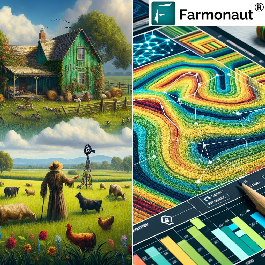
To better understand the transformative power of satellite imagery and GIS in agriculture, let’s compare traditional farming methods with Farmonaut’s satellite-based approach:
| Agricultural Aspect | Traditional Farming | Farmonaut’s Satellite-Based Approach |
|---|---|---|
| Crop Health Monitoring | Periodic visual inspections, potentially missing early signs of issues | Daily satellite imagery for early detection of crop stress and disease |
| Resource Management | Uniform application of inputs across fields | Precision application based on real-time field data and historical trends |
| Risk Mitigation | Reactive approach to environmental threats | Proactive risk assessment using predictive modeling and real-time monitoring |
| Decision-Making Process | Based on experience and limited data points | Data-driven decisions supported by comprehensive field insights |
| Yield Optimization | General strategies applied uniformly | Targeted interventions based on field-specific data and AI-driven recommendations |
| Sustainability Impact | Potential overuse of resources and environmental strain | Optimized resource use leading to reduced environmental impact and increased sustainability |
Implementing Precision Farming with Farmonaut
Adopting precision farming technologies doesn’t have to be overwhelming. Farmonaut offers a user-friendly platform that makes the transition smooth and accessible. Here’s how farmers can get started:
- Field Mapping: Begin by mapping your fields within the Farmonaut platform. This establishes the baseline for all future monitoring and analysis.
- Data Integration: Import historical data and connect any existing farm management systems to create a comprehensive database.
- Daily Monitoring: Utilize Farmonaut’s daily satellite imagery to keep a close eye on crop health and field conditions.
- Analysis and Insights: Leverage Farmonaut’s AI-powered analytics to gain actionable insights into your farm’s performance.
- Implement Changes: Use the data-driven recommendations to make informed decisions about irrigation, fertilization, and pest control.
- Track Progress: Continuously monitor the impact of your decisions and adjust strategies as needed.
The Global Impact of Precision Farming
The adoption of precision farming technologies is not just beneficial for individual farmers; it has far-reaching implications for global agriculture and sustainability:
- Food Security: By optimizing crop yields and reducing losses, precision farming contributes to global food security efforts.
- Climate Change Mitigation: More efficient use of resources and reduced chemical inputs help minimize agriculture’s environmental footprint.
- Economic Development: Improved agricultural productivity can drive economic growth in rural areas and developing countries.
- Sustainable Land Use: Precision farming practices promote more sustainable land use, helping to preserve natural habitats and biodiversity.
Farmonaut’s global reach allows these benefits to be realized across diverse agricultural landscapes, from small farms in developing nations to large-scale operations in industrialized countries.
Integrating Precision Farming into Existing Agricultural Practices
One of the key advantages of Farmonaut’s approach to precision farming is its flexibility and adaptability. Farmers can integrate these advanced technologies into their existing workflows without completely overhauling their operations. Here’s how:
- Gradual Implementation: Start with basic monitoring and slowly incorporate more advanced features as you become comfortable with the technology.
- Customizable Solutions: Farmonaut’s platform can be tailored to meet the specific needs of different crops, regions, and farming styles.
- Training and Support: Take advantage of Farmonaut’s training resources and customer support to ensure smooth adoption of new technologies.
- Data-Driven Decision Making: Use the insights provided by Farmonaut to complement your existing knowledge and experience, leading to more informed decisions.
The Role of Precision Farming in Sustainable Agriculture
Sustainability is a critical concern in modern agriculture, and precision farming technologies play a crucial role in promoting more sustainable practices:
- Resource Conservation: By optimizing the use of water, fertilizers, and pesticides, precision farming significantly reduces waste and environmental impact.
- Soil Health: Targeted interventions and reduced chemical use help maintain and improve soil health over time.
- Biodiversity Protection: More efficient land use can help preserve natural habitats and protect local ecosystems.
- Carbon Footprint Reduction: Precision farming practices can lead to reduced fuel consumption and lower overall carbon emissions from agricultural activities.
Farmonaut’s platform incorporates sustainability metrics, allowing farmers to track their environmental impact and make informed decisions that balance productivity with ecological responsibility.
The Economic Benefits of Precision Farming
While the environmental benefits of precision farming are clear, the economic advantages are equally compelling:
- Increased Profitability: By optimizing inputs and maximizing yields, farmers can significantly improve their bottom line.
- Risk Reduction: Early detection of issues and more accurate forecasting help mitigate financial risks associated with crop failures or market fluctuations.
- Long-term Sustainability: Improved soil health and resource management contribute to the long-term viability and profitability of farming operations.
- Access to Markets: The ability to provide detailed crop data and sustainable farming certifications can open up new market opportunities and premium pricing for produce.
Farmonaut’s platform provides detailed economic analysis tools, helping farmers quantify the financial benefits of their precision farming practices and make data-driven decisions to improve profitability.
Precision Farming and Food Security
As global population continues to grow, ensuring food security becomes increasingly critical. Precision farming technologies offer powerful solutions to this challenge:
- Increased Crop Yields: By optimizing growing conditions and quickly addressing issues, precision farming can significantly boost crop production.
- Reduced Crop Losses: Early detection of pests, diseases, and environmental stresses helps minimize crop losses.
- Efficient Land Use: Precision farming allows for more efficient use of available agricultural land, potentially reducing the need for expansion into natural habitats.
- Climate Resilience: Advanced monitoring and predictive capabilities help farmers adapt to changing climate conditions, ensuring more stable food production.
Farmonaut’s global reach and scalable solutions contribute to these food security efforts by making advanced farming technologies accessible to a wide range of agricultural producers.
The Future of Farmonaut and Precision Farming
As we look to the future, Farmonaut continues to innovate and expand its capabilities to meet the evolving needs of farmers worldwide. Some exciting developments on the horizon include:
- Enhanced AI Capabilities: More advanced machine learning algorithms will provide even more accurate predictions and recommendations.
- Integration with Emerging Technologies: Farmonaut is exploring integrations with technologies like blockchain for improved traceability and IoT for more comprehensive field monitoring.
- Expanded Global Coverage: Continuous improvements in satellite technology will allow for even more detailed and frequent imaging of agricultural areas worldwide.
- Advanced Climate Modeling: Enhanced integration of climate data will provide farmers with more accurate long-term forecasts and adaptation strategies.
These advancements will further empower farmers to make data-driven decisions, optimize their operations, and contribute to global food security and sustainability efforts.
Farmonaut Subscription Options
To make precision farming accessible to all, Farmonaut offers flexible subscription options tailored to various farm sizes and needs. Explore our pricing plans below:
Frequently Asked Questions
Q: How often does Farmonaut update its satellite imagery?
A: Farmonaut provides daily updates on crop health and field conditions, allowing for timely decision-making and intervention.
Q: Can Farmonaut be used for all types of crops?
A: Yes, Farmonaut’s technology is adaptable to a wide range of crops and agricultural practices, from row crops to orchards and vineyards.
Q: How does Farmonaut ensure data security and privacy?
A: Farmonaut employs state-of-the-art encryption and security protocols to protect user data and ensure privacy compliance.
Q: Is Farmonaut suitable for small-scale farmers?
A: Absolutely. Farmonaut offers scalable solutions that cater to farms of all sizes, making precision agriculture accessible to small-scale farmers as well.
Q: How can I integrate Farmonaut with my existing farm management software?
A: Farmonaut provides API access and integration capabilities, allowing for seamless connection with many popular farm management systems.
Conclusion
The revolution in precision farming, driven by satellite imagery and GIS technologies, is transforming agriculture on a global scale. Farmonaut stands at the forefront of this revolution, offering innovative solutions that make advanced farming practices accessible to agriculturists worldwide. By harnessing the power of daily satellite imagery, AI-driven analytics, and user-friendly interfaces, Farmonaut is empowering farmers to optimize their operations, increase yields, and contribute to a more sustainable and food-secure future.
As we face the challenges of feeding a growing global population in the face of climate change and resource constraints, the importance of precision farming cannot be overstated. With platforms like Farmonaut leading the way, we are entering a new era of data-driven, sustainable agriculture that promises to revolutionize the way we grow food and manage our precious natural resources.
Embrace the future of farming with Farmonaut and join the precision agriculture revolution today. Together, we can cultivate a more productive, sustainable, and food-secure world for generations to come.


