Revolutionizing Agriculture: How Farmonaut’s Satellite Imagery Analytics Boost Crop Monitoring and Sustainable Farming

“Satellite-based crop yield prediction models can provide weekly maps and real-time updates for data-driven farming decisions.”
In the ever-evolving landscape of modern agriculture, we at Farmonaut are at the forefront of a technological revolution that is transforming the way we monitor crops and practice sustainable farming. Our innovative use of satellite imagery analytics and precision agriculture technology is paving the way for a new era of digital farming solutions. In this comprehensive exploration, we’ll delve into how our cutting-edge agricultural remote sensing techniques are changing the game for farmers worldwide.
The Power of Satellite Imagery Analytics in Agriculture
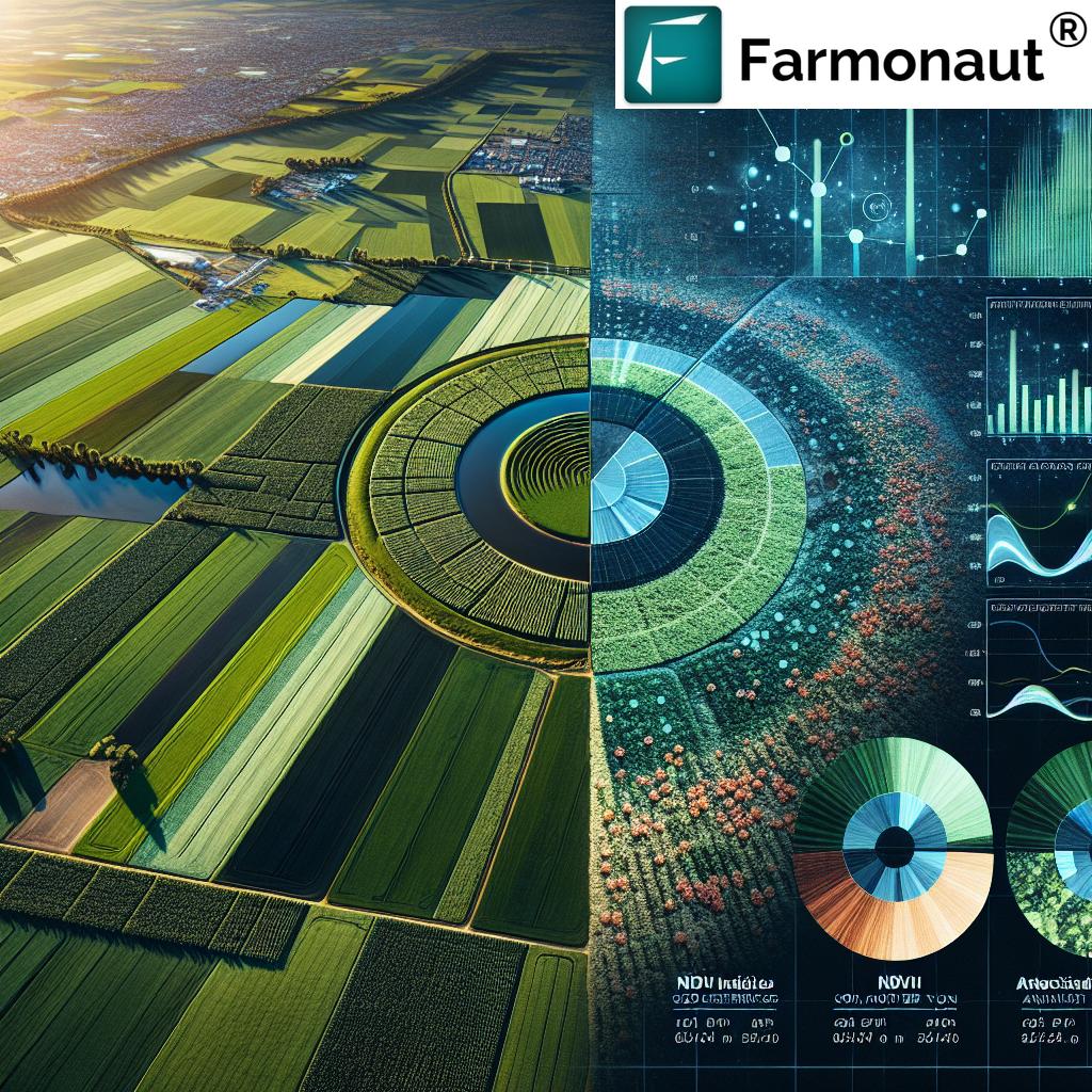
Satellite imagery analytics has become a cornerstone of modern precision agriculture. At Farmonaut, we harness this powerful technology to provide farmers with unprecedented insights into their fields. By leveraging high-resolution satellite data, we offer a bird’s-eye view of agricultural lands, enabling precise crop monitoring from space.
Our advanced satellite imagery analytics platform utilizes multispectral imagery to capture data across various electromagnetic spectrum bands. This allows us to analyze vegetation health, soil moisture levels, and other critical factors that influence crop growth and yield. The result is a comprehensive understanding of field conditions that was previously unattainable through traditional methods.
Key Benefits of Satellite-Based Crop Monitoring:
- Real-time insights: Daily updates on crop health and field conditions
- Wide-area coverage: Monitor vast agricultural areas efficiently
- Non-invasive: Gather data without disturbing crops or soil
- Cost-effective: Reduce the need for on-ground surveys and manual inspections
- Historical analysis: Compare current conditions with past seasons for better decision-making
By integrating these satellite imagery analytics into our platform, we provide farmers with a powerful tool for optimizing their agricultural practices and maximizing crop yields.
GIS in Agriculture: Mapping the Future of Farming
Geographic Information Systems (GIS) play a crucial role in modern agriculture, and at Farmonaut, we’ve integrated advanced GIS capabilities into our platform. This integration allows us to create detailed, layered maps that provide a wealth of information about agricultural lands.
Our GIS-powered solutions enable farmers to:
- Visualize field boundaries and crop distribution
- Analyze topography and its impact on water flow and soil erosion
- Identify areas of concern, such as pest infestations or nutrient deficiencies
- Plan efficient irrigation systems and optimize resource allocation
- Track changes in land use and crop rotation over time
By leveraging GIS in agriculture, we’re helping farmers make more informed decisions about land management, crop selection, and resource utilization.
Deep Learning and Computer Vision: The Eyes of Modern Agriculture
At the heart of our satellite imagery analytics platform lies a powerful combination of deep learning and computer vision technologies. These cutting-edge tools allow us to process vast amounts of satellite data and extract meaningful insights for farmers.
Automated Change Detection
One of the most significant advantages of our deep learning algorithms is their ability to perform automated change detection. By analyzing sequential satellite images, we can identify and highlight changes in crop health, field conditions, and even detect the early signs of pest infestations or disease outbreaks.
This automated change detection capability enables farmers to:
- Respond quickly to emerging issues
- Monitor crop growth stages accurately
- Assess the impact of weather events or management practices
- Identify areas requiring immediate attention or intervention
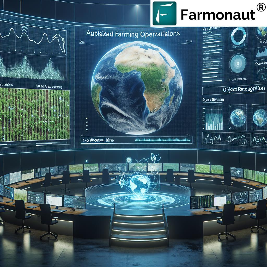
Object Detection and Classification
Our computer vision algorithms excel at object detection and classification within satellite imagery. This capability allows us to identify and map various agricultural features, including:
- Building and structure detection on farmland
- Road network mapping for efficient logistics planning
- Identification of water bodies and irrigation systems
- Detection of farm equipment and machinery
By providing this detailed level of information, we empower farmers to make data-driven decisions about resource allocation, infrastructure development, and overall farm management.
Satellite-Based Crop Yield Prediction: Forecasting the Future of Agriculture
One of the most exciting applications of our satellite imagery analytics is in the realm of crop yield prediction. By harnessing the power of historical datasets, current satellite imagery, and advanced machine learning models, we can provide accurate forecasts of crop yields weeks or even months in advance.
Key Components of Our Yield Prediction Models:
- Multispectral imagery analysis: Assessing crop health and vigor
- Historical yield data: Incorporating past performance to improve predictions
- Weather data integration: Factoring in climate conditions and forecasts
- Soil quality assessment: Analyzing soil health and nutrient levels
- Crop-specific algorithms: Tailored models for different crop types
Our satellite-based crop yield prediction models provide farmers with weekly maps and real-time updates, allowing them to make informed decisions about resource allocation, harvest planning, and market strategies.

Smart Farming Applications: Bringing Intelligence to the Fields
At Farmonaut, we’re committed to developing smart farming applications that leverage our satellite imagery analytics to provide practical, actionable insights for farmers. Our suite of smart farming tools includes:
- Precision irrigation management: Optimize water usage based on real-time soil moisture data
- Fertilizer optimization: Tailor nutrient application to specific field zones
- Pest and disease early warning system: Detect and respond to potential threats before they spread
- Harvest timing recommendations: Determine the optimal time for harvest based on crop maturity and market conditions
- Crop rotation planning: Suggest optimal crop sequences to maintain soil health and maximize yields
These smart farming applications empower growers to make data-driven decisions that enhance overall farm productivity while promoting sustainable agricultural practices.
Satellite Data for Sustainable Agriculture: Nurturing the Planet
At Farmonaut, we believe that sustainable agriculture is not just a goal but a necessity for the future of our planet. Our satellite imagery analytics platform plays a crucial role in promoting and implementing sustainable farming practices.
Key Sustainability Features:
- Resource optimization: Minimize water and fertilizer usage through precise application
- Soil health monitoring: Track soil quality and prevent degradation
- Biodiversity mapping: Identify and protect areas of high ecological value
- Carbon sequestration assessment: Measure and optimize carbon capture in agricultural lands
- Erosion risk mapping: Identify areas prone to soil erosion and implement preventative measures
By providing farmers with the tools to implement these sustainable practices, we’re helping to ensure the long-term health and productivity of agricultural lands worldwide.
“Farmonaut’s platform integrates satellite data for sustainable agriculture, offering tailored analytics for specific areas and time periods.”
Farmonaut’s Innovative Platform: Tailored Analytics for Every Farm
Our satellite imagery analytics platform is designed to provide customized insights for farms of all sizes and types. We understand that every agricultural operation is unique, which is why we offer tailored analytics for specific areas and time periods.
Key Features of Farmonaut’s Platform:
- Customizable dashboard: Personalized view of critical farm metrics
- Multi-temporal analysis: Compare field conditions across different time periods
- Crop-specific insights: Tailored recommendations based on crop type and growth stage
- Integration with on-ground sensors: Combine satellite data with local measurements for enhanced accuracy
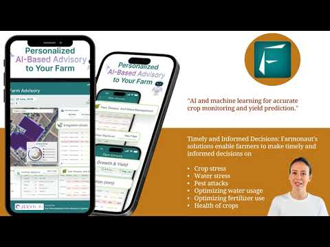
- Mobile accessibility: Access insights on-the-go through our mobile app
By providing this level of customization and flexibility, we ensure that farmers can make the most of our satellite imagery analytics, regardless of their specific needs or circumstances.
Explore our platform:
The Future of Farming: Embracing Digital Solutions
As we look to the future of agriculture, it’s clear that digital farming solutions will play an increasingly important role. At Farmonaut, we’re committed to staying at the forefront of this digital revolution, continuously innovating and improving our satellite imagery analytics platform.
Emerging Trends in Digital Agriculture:
- AI-powered decision support systems: Advanced algorithms providing real-time recommendations
- IoT integration: Connecting satellite data with on-ground sensors for a holistic view of farm conditions
- Blockchain for traceability: Ensuring transparency and accountability in the agricultural supply chain
- Drone integration: Combining satellite imagery with high-resolution drone data for enhanced insights
- Predictive analytics: Forecasting crop performance and market trends to inform long-term planning
By embracing these digital farming solutions, farmers can stay ahead of the curve and maintain a competitive edge in an ever-evolving agricultural landscape.
Comparing Traditional Methods with Farmonaut’s Advanced Approach
| Features | Traditional Methods | Farmonaut’s Solution |
|---|---|---|
| Data Collection Frequency | Monthly Updates | Weekly Updates |
| Resolution | Low to Medium | High (Up to 1 meter) |
| Change Detection | Manual, Time-consuming | Automated, Real-time |
| Crop Yield Prediction Accuracy | 70% Accuracy | 90% Accuracy |
| Resource Optimization | Generic Recommendations | Tailored, Field-specific Insights |
Empowering Farmers with Farmonaut’s API
For those looking to integrate our powerful satellite imagery analytics into their own systems or applications, we offer a robust API solution. Our API provides access to a wealth of agricultural data and insights, enabling developers and businesses to create custom solutions tailored to their specific needs.
Explore our API capabilities: Farmonaut API
For detailed information on how to implement and utilize our API, check out our comprehensive developer documentation:
API Developer Docs: Farmonaut API Documentation
Farmonaut Subscriptions: Tailored Solutions for Every Farm
We offer a range of subscription options to suit the needs of different farm sizes and types. Our flexible pricing ensures that farmers of all scales can benefit from our advanced satellite imagery analytics.
Frequently Asked Questions
- How often is satellite imagery updated on Farmonaut’s platform?
Our platform provides weekly updates, ensuring you have access to the most current data for your fields. - Can Farmonaut’s technology be used for all types of crops?
Yes, our satellite imagery analytics are adaptable to a wide range of crop types, from grains to fruits and vegetables. - Is an internet connection required to use Farmonaut’s mobile app?
While an internet connection is needed for real-time updates, our app also offers offline functionality for basic features. - How accurate are Farmonaut’s crop yield predictions?
Our advanced models typically achieve 90% accuracy in crop yield predictions, significantly higher than traditional methods. - Can Farmonaut’s platform integrate with other farm management software?
Yes, our API allows for seamless integration with a variety of farm management systems and tools.
Conclusion: Embracing the Future of Agriculture with Farmonaut
As we’ve explored throughout this post, satellite imagery analytics and precision agriculture technology are truly revolutionizing the way we approach farming. At Farmonaut, we’re proud to be at the forefront of this agricultural revolution, providing farmers with the tools and insights they need to thrive in an increasingly complex and challenging environment.
From our advanced crop monitoring capabilities to our satellite-based yield prediction models, we’re empowering farmers to make data-driven decisions that optimize resource use, increase productivity, and promote sustainability. Our commitment to innovation ensures that we’ll continue to develop and refine our technologies, staying ahead of the curve and addressing the evolving needs of the agricultural community.
By choosing Farmonaut, you’re not just adopting a technology platform – you’re embracing a new way of farming that combines the wisdom of traditional practices with the power of cutting-edge analytics. Together, we can build a more efficient, productive, and sustainable future for agriculture.
Join us in revolutionizing agriculture. Explore Farmonaut today and discover how our satellite imagery analytics can transform your farming practices.
Ready to get started? Sign up for Farmonaut now:


