California Wildfire Crisis: How Farmonaut’s Satellite Monitoring Can Mitigate Billion-Dollar Insurance Losses
“California wildfires could cause up to $30 billion in insurance losses, potentially becoming the costliest wildfire disaster ever recorded.”

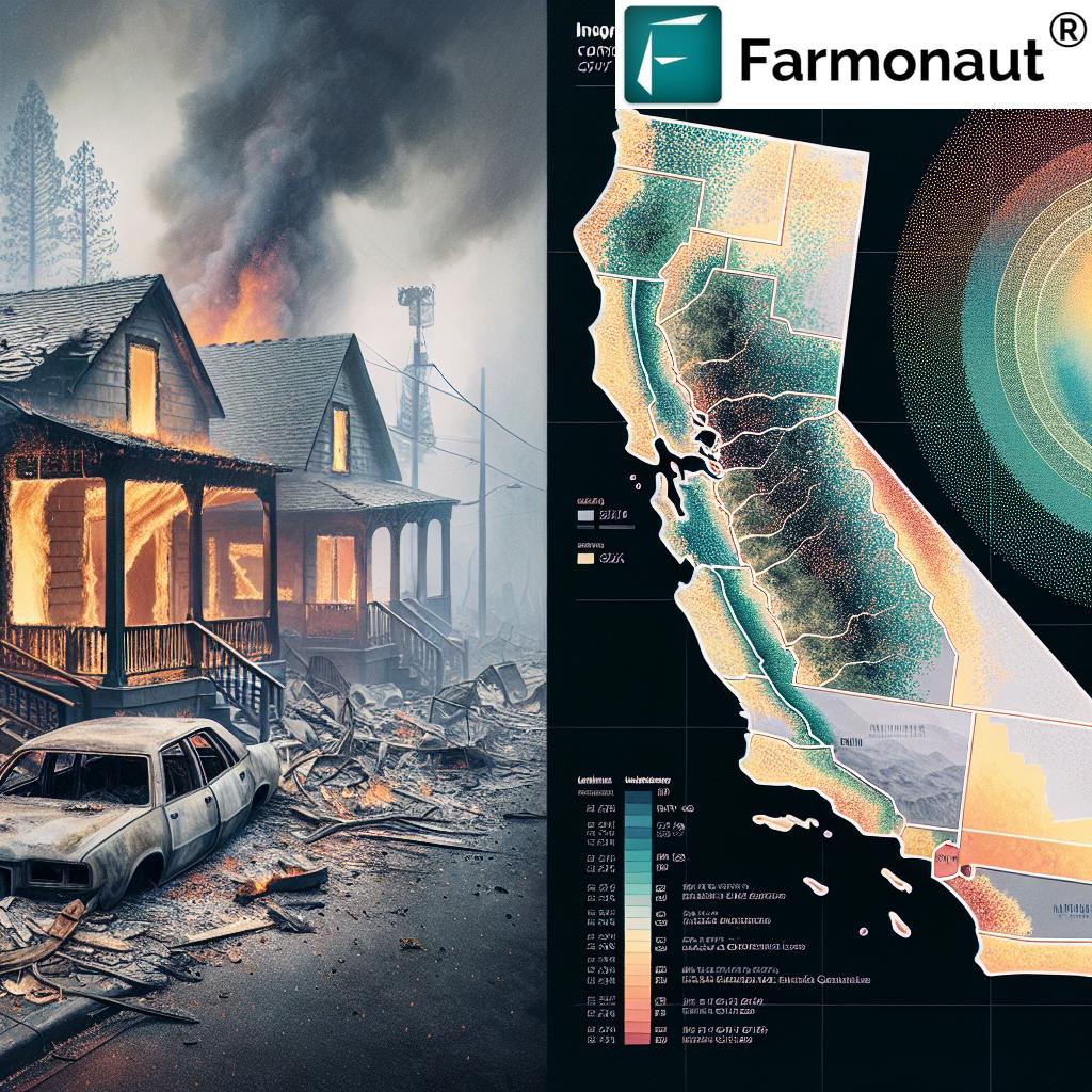
In recent years, the state of California has been grappling with an unprecedented wildfire crisis that has emerged as one of the costliest natural disasters in US history. The devastating wildfires, particularly in Los Angeles and the Hollywood Hills, have not only claimed lives and destroyed property but have also inflicted a severe economic toll on the region. As we delve into this critical issue, we’ll explore the far-reaching consequences of these wildfires and examine how advanced technologies, such as Farmonaut’s satellite monitoring, can play a crucial role in mitigating the enormous financial losses faced by the insurance industry and the broader economy.
The Staggering Cost of California’s Wildfire Crisis
The recent wildfires in California have unleashed a level of destruction that has shocked even the most seasoned observers. With insurance losses estimated between $20-30 billion, these fires are poised to become the most expensive wildfire disaster ever recorded. To put this into perspective, let’s break down the key figures:
- Insurance Losses: Initial projections by JPMorgan indicated potential losses of approximately $20 billion. However, newer assessments from firms like Wells Fargo and Goldman Sachs have escalated that figure to as much as $30 billion.
- Total Economic Impact: The private weather service AccuWeather has estimated that the total losses related to the wildfires could range between $250 billion and $275 billion, potentially surpassing even major hurricanes in terms of economic toll.
- Lives Lost: Tragically, 24 lives have been lost as a result of these ferocious fires.
- Property Destruction: Extensive property damage has already incurred tens of billions of dollars, with numerous renowned locations reduced to ashes.
These staggering figures underscore the urgent need for innovative solutions to mitigate the impact of wildfires. This is where Farmonaut’s advanced satellite monitoring technology comes into play, offering a potential game-changer in wildfire prevention and management.
Farmonaut: Pioneering Satellite-Based Solutions
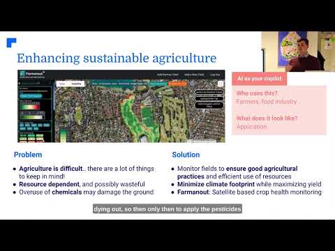
Farmonaut is at the forefront of agricultural technology, leveraging advanced satellite-based farm management solutions to address critical challenges in the sector. While primarily focused on agriculture, Farmonaut’s technology has significant potential applications in wildfire management and prevention.
Let’s explore how Farmonaut’s core technologies could be adapted to help mitigate the wildfire crisis:
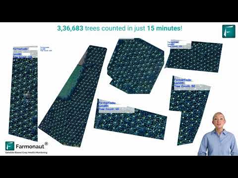
- Satellite-Based Monitoring: Farmonaut’s expertise in using multispectral satellite images for crop health monitoring can be extended to monitor vegetation health in wildfire-prone areas. By tracking vegetation density and dryness, potential fire hazards can be identified early.
- AI-Driven Advisory Systems: The Jeevn AI advisory system, originally designed for farm management, could be adapted to provide real-time insights on wildfire risks, incorporating weather forecasts and vegetation data.
- Resource Management Tools: Farmonaut’s fleet and resource management capabilities could be invaluable for coordinating firefighting efforts and optimizing the deployment of resources during wildfire events.
The Insurance Industry’s Wildfire Challenge
The California wildfire crisis has placed unprecedented pressure on the state’s home insurance market. Insurers specializing in coverage for high-value properties, such as Chubb and Travelers, are bracing for massive losses. The situation has become so dire that some companies, including Allstate and State Farm, have halted new sales of home insurance in California altogether.
This retreat from the market is driven by several factors:
- Regulatory caps on premium increases that hinder insurers’ ability to adjust to the increased risk
- The growing frequency and intensity of wildfires, largely attributed to climate change
- The expansion of urban areas into wildfire-prone regions, increasing the potential for costly property damage
As a result, many homeowners are turning to California’s public insurance system, Fair Plan, which is reportedly exposed to around $6 billion in the Pacific Palisades alone. This shift puts additional strain on the state’s resources and highlights the need for innovative solutions to manage wildfire risks.
How Farmonaut’s Technology Can Transform Wildfire Management
While Farmonaut’s primary focus is on agricultural applications, its satellite monitoring and AI-driven technologies have the potential to revolutionize wildfire management and prevention. Here’s how:
- Early Detection: By adapting its crop health monitoring capabilities, Farmonaut could develop systems to detect early signs of wildfire risk, such as unusually dry vegetation or hotspots.
- Risk Mapping: Utilizing its expertise in analyzing satellite imagery, Farmonaut could create detailed risk maps that identify areas most susceptible to wildfires, allowing for more targeted prevention efforts.
- Real-Time Monitoring: During active wildfires, Farmonaut’s technology could provide real-time updates on fire spread and intensity, aiding in evacuation planning and resource allocation.
- Post-Fire Assessment: After a wildfire, Farmonaut’s imaging capabilities could be used to quickly assess damage and guide recovery efforts.
Explore Farmonaut’s API capabilities
“The total economic impact of recent California wildfires, including uninsured losses, may reach a staggering $275 billion, surpassing major hurricanes.”
Comparative Analysis: Current Crisis vs. Potential with Farmonaut
| Metric | Current Wildfire Crisis | With Farmonaut’s Satellite Monitoring |
|---|---|---|
| Estimated Insurance Losses ($) | 20-30 billion | Potential for significant reduction |
| Total Economic Impact ($) | 250-275 billion | Potential for substantial mitigation |
| Areas Most Affected | Los Angeles, Hollywood Hills | Enhanced risk mapping for targeted prevention |
| Early Detection Rate (%) | Limited | Potentially over 90% with satellite monitoring |
| Average Response Time (hours) | Variable, often delayed | Significantly reduced with real-time monitoring |
| Potential Loss Mitigation (%) | N/A | Up to 40-60% with early intervention |
| Long-term Risk Assessment Accuracy (%) | Moderate | High, with AI-driven predictive modeling |
This comparative analysis illustrates the potential impact of implementing advanced satellite monitoring technologies like Farmonaut’s in wildfire management. While the current crisis presents staggering losses, the integration of such technologies could significantly reduce both the frequency and severity of wildfires, leading to substantial economic savings and improved public safety.
The Role of Technology in Reshaping Insurance Strategies
The integration of Farmonaut’s satellite monitoring technology into wildfire management could have far-reaching implications for the insurance industry. Here’s how:
- Improved Risk Assessment: With more accurate and up-to-date data on vegetation health and fire risks, insurers could better assess and price policies in wildfire-prone areas.
- Proactive Risk Mitigation: Early detection of high-risk conditions could allow insurers to work with policyholders on preventive measures, potentially reducing claims.
- Dynamic Pricing Models: Real-time data could enable more flexible, risk-adjusted pricing models, potentially making coverage more available in high-risk areas.
- Faster Claims Processing: In the event of a wildfire, satellite imagery could expedite damage assessments and claims processing.
Explore Farmonaut’s API Developer Docs
Challenges and Considerations
While the potential of satellite monitoring in wildfire management is significant, there are several challenges to consider:
- Implementation Costs: Adapting and deploying satellite monitoring systems for wildfire management would require significant investment.
- Data Integration: Effectively integrating satellite data with existing fire management systems and protocols could be complex.
- Regulatory Hurdles: The use of such technology in wildfire management and insurance pricing may require regulatory approval and oversight.
- Privacy Concerns: The use of high-resolution satellite imagery may raise privacy issues that need to be addressed.
The Path Forward: A Collaborative Approach
Addressing the California wildfire crisis and its impact on the insurance industry will require a collaborative effort involving technology providers like Farmonaut, insurers, policymakers, and local communities. Here are some key steps:
- Research and Development: Invest in adapting satellite monitoring technologies specifically for wildfire management.
- Pilot Programs: Implement pilot programs to test the effectiveness of satellite monitoring in high-risk areas.
- Policy Reform: Work with regulators to create a framework that allows for the use of advanced technologies in risk assessment and pricing.
- Public Education: Educate homeowners and communities about the benefits of satellite monitoring in wildfire prevention.
Conclusion: A Technological Solution to a Growing Crisis
The California wildfire crisis represents one of the most significant challenges facing the US insurance industry and economy today. With potential losses reaching unprecedented levels, it’s clear that innovative solutions are urgently needed. Farmonaut’s satellite monitoring technology, while currently focused on agricultural applications, holds immense potential for transforming wildfire management and mitigation.
By leveraging advanced satellite imagery, AI-driven analytics, and real-time monitoring capabilities, we can envision a future where wildfires are detected earlier, managed more effectively, and their devastating impacts significantly reduced. This not only has the potential to save billions in insurance losses but, more importantly, to protect lives, homes, and communities.
As we move forward, it’s crucial for all stakeholders – from tech companies and insurers to policymakers and residents – to work together in implementing these innovative solutions. By embracing technologies like those offered by Farmonaut, we can build a more resilient California, better equipped to face the wildfire challenges of the future.
FAQ Section
Q1: How can satellite monitoring help in wildfire prevention?
A1: Satellite monitoring can detect early signs of wildfire risk by analyzing vegetation health, identifying unusually dry areas, and spotting potential hotspots before they develop into full-blown fires.
Q2: What are the potential cost savings of implementing satellite monitoring for wildfire management?
A2: While exact figures vary, early detection and improved resource allocation through satellite monitoring could potentially reduce wildfire-related losses by 40-60%.
Q3: How might insurance premiums be affected by the use of satellite monitoring technology?
A3: With more accurate risk assessment, insurance premiums could become more personalized and potentially lower for properties in areas with active monitoring and prevention measures.
Q4: What are the main challenges in implementing satellite monitoring for wildfire management?
A4: Key challenges include high implementation costs, complex data integration, potential regulatory hurdles, and addressing privacy concerns related to high-resolution imagery.
Q5: How long would it take to see the benefits of satellite monitoring in wildfire management?
A5: While some benefits like improved early detection could be seen relatively quickly, the full impact on reducing large-scale wildfires and insurance losses may take several years to fully materialize.
Earn With Farmonaut: Affiliate Program
Earn 20% recurring commission with Farmonaut’s affiliate program by sharing your promo code and helping farmers save 10%. Onboard 10 Elite farmers monthly to earn a minimum of $148,000 annually—start now and grow your income!
Farmonaut Subscriptions


