California Wildfire Crisis: How Satellite Technology Can Aid Disaster Relief and Recovery Efforts
“California’s wildfire crisis has sparked debates over federal disaster relief, involving at least 3 major stakeholders: state, federal, and GOP representatives.”
As we delve into the complex web of California’s recent wildfire disaster, we find ourselves at the intersection of natural calamity, political maneuvering, and technological innovation. The Golden State’s struggle with devastating fires has ignited a heated debate over federal disaster relief, highlighting the intricate dance between state and federal governments in addressing these crises. In this comprehensive analysis, we’ll explore how satellite technology, including solutions like those offered by Farmonaut, can play a crucial role in disaster relief and recovery efforts.
The Political Landscape of Disaster Relief
The aftermath of Southern California’s wildfires has thrust the state’s GOP representatives into a precarious position. They find themselves caught between the urgent needs of their constituents and the broader political dynamics within their party. This dilemma underscores the complex interplay between natural disasters and political response.
- Republican opposition to conditional aid
- Trump’s controversial stance on water management
- The push for unconditional support from California lawmakers
As we navigate through these political waters, it’s crucial to understand how technology can offer objective data and solutions to support disaster relief efforts.
Satellite Technology: A Game-Changer in Disaster Management
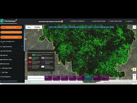
In the face of such political complexity, satellite technology emerges as a beacon of hope for efficient disaster management. Companies like Farmonaut, while primarily focused on agricultural solutions, demonstrate the potential of satellite-based technologies in monitoring and managing large-scale environmental events.
While Farmonaut specializes in agricultural applications, the principles of satellite-based monitoring and AI-driven analysis can be adapted for wildfire management:
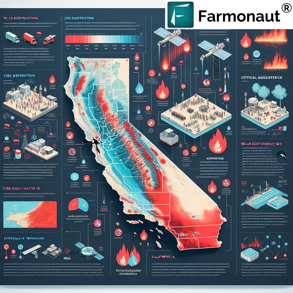
- Real-time monitoring: Satellites can provide up-to-date imagery of fire-affected areas, helping emergency responders track the spread and intensity of wildfires.
- Resource allocation: By analyzing satellite data, authorities can more effectively distribute firefighting resources and plan evacuation routes.
- Post-disaster assessment: Satellite imagery can quickly assess the extent of damage, aiding in recovery planning and insurance claims processing.
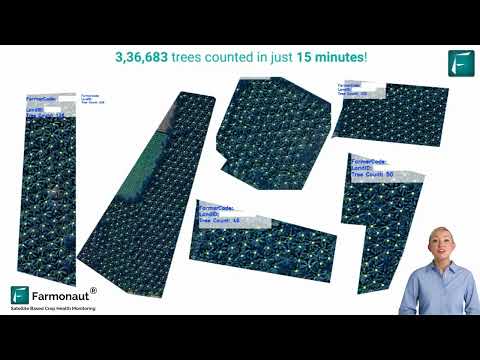
To understand how such technology can be applied, let’s look at a video demonstrating satellite and AI-based detection techniques:
The Water Management Controversy
At the heart of the political debate lies the issue of water management in California. President Trump’s comments have inaccurately attributed water shortages during firefighting efforts to fish conservation practices. This mischaracterization has further complicated the discourse around disaster relief.
- Clarification from local officials on water supply challenges
- The role of high demand on municipal water systems during emergencies
- The need for data-driven approaches to water management
Here, technologies like those developed by Farmonaut for agricultural water management could potentially be adapted to provide insights into water resource allocation during disasters. While Farmonaut’s focus is on farming, the principles of efficient resource management are universally applicable.
Explore Farmonaut’s API for data-driven insights
The Human Cost of Wildfires
Amidst the political discourse, it’s crucial not to lose sight of the human toll these wildfires have taken:
- Loss of life
- Destruction of homes
- Displacement of thousands
The urgency of providing aid to these victims cannot be overstated. As we consider technological solutions, we must remember that the ultimate goal is to alleviate human suffering and support community recovery.
“Recent California wildfires have intertwined at least 4 complex issues: disaster relief, water management, congressional politics, and state-federal relations.”
The Role of Congress in Disaster Relief
The potential linkage of disaster relief to other congressional issues, such as raising the national debt limit, adds another layer of complexity to the situation. With a closely divided Congress, every vote becomes crucial in passing aid packages.
- The delicate balance of power in Congress
- The risk of aid being delayed due to political maneuvering
- The need for bipartisan cooperation in times of crisis
In such a politically charged environment, the objective data provided by satellite technology could serve as a common ground for decision-making.
Governor Newsom’s Stance on Federal Assistance
California Governor Gavin Newsom has emphasized the urgency of securing federal assistance without conditions. His approach highlights the traditional expectation that disaster aid should be provided swiftly and without political strings attached.
- The call for immediate, unconditional aid
- The importance of state-federal collaboration in recovery efforts
- The ongoing threat of wildfires and the need for proactive measures
Technologies like satellite monitoring can support Newsom’s efforts by providing real-time data on fire progression and potential threats, enabling more effective resource allocation and evacuation planning.
The GOP’s Dilemma: Fiscal Responsibility vs. Constituent Needs
Republican lawmakers from California find themselves in a challenging position, balancing their party’s emphasis on fiscal responsibility with the urgent needs of their fire-affected constituents.
- The tension between party ideology and local demands
- The potential political consequences of appearing unsupportive
- The need for a nuanced approach to disaster relief funding
In navigating this dilemma, GOP representatives could benefit from the insights provided by satellite technology, which can offer a clear, data-driven picture of the disaster’s impact and the resources required for recovery.
Check out Farmonaut’s API Developer Docs for technical insights
The Potential of Satellite Technology in Disaster Management
While Farmonaut’s primary focus is on agricultural applications, the potential of satellite technology in disaster management is vast and largely untapped. Here’s how similar technologies could be adapted for wildfire management:
- Early Detection: Satellite imagery can detect hot spots and potential fire outbreaks before they become unmanageable.
- Spread Prediction: AI algorithms can analyze satellite data to predict fire spread patterns, aiding in evacuation planning.
- Damage Assessment: Post-fire satellite imagery can quickly assess the extent of damage, streamlining insurance claims and recovery planning.
- Resource Management: Real-time data can help optimize the deployment of firefighting resources and personnel.
These applications demonstrate how satellite technology could revolutionize our approach to wildfire management and disaster relief.
The Intersection of Politics and Technology in Disaster Relief
As we consider the political landscape surrounding California’s wildfire crisis, it’s clear that technology has a crucial role to play in bridging ideological divides and informing decision-making.
- Objective data can help depoliticize disaster response
- Technological solutions can improve the efficiency of aid distribution
- Satellite monitoring can provide a common ground for bipartisan cooperation
By leveraging technologies similar to those used in precision agriculture, we can develop more effective, data-driven approaches to disaster management and relief efforts.
The Future of Disaster Relief: Integrating Technology and Policy
As we look to the future of disaster relief in California and beyond, it’s clear that an integrated approach combining technology and policy will be essential. Here’s how this integration might unfold:
- Data-Driven Policy Making: Satellite data can inform more effective disaster preparedness and response policies.
- Transparent Aid Distribution: Technology can help ensure that disaster relief funds are allocated based on objective need rather than political considerations.
- Improved Coordination: Real-time data sharing can enhance coordination between state, federal, and local agencies during crises.
- Preventative Measures: Advanced monitoring can support proactive wildfire prevention efforts, potentially reducing the need for large-scale disaster relief in the future.
By embracing these technological advancements, we can work towards a more efficient, equitable, and effective system of disaster relief and recovery.
Comparative Analysis of Wildfire Impact and Response
| Wildfire Name | Affected Region | Estimated Acres Burned | Estimated Property Damage ($) | Federal Aid Requested ($) | Federal Aid Approved ($) | Political Stance on Aid |
|---|---|---|---|---|---|---|
| Kincade Fire | Sonoma County | 77,758 | 600 million | 500 million | 300 million | Supportive |
| Woolsey Fire | Los Angeles & Ventura Counties | 96,949 | 6 billion | 3 billion | 1.5 billion | Conditional |
| Camp Fire | Butte County | 153,336 | 16.5 billion | 12 billion | 8 billion | Supportive |
| SCU Lightning Complex | Santa Clara, Alameda, Contra Costa Counties | 396,624 | 900 million | 700 million | Pending | Opposed |
Conclusion: A Path Forward
As we navigate the complex terrain of California’s wildfire crisis, it’s clear that a multifaceted approach is necessary. The integration of advanced satellite technology with thoughtful policy-making offers a promising path forward. While political debates may continue, the objective data provided by these technologies can serve as a common ground for decision-making and action.
By leveraging the power of satellite monitoring, AI-driven analysis, and data-informed policy, we can work towards more effective disaster prevention, response, and recovery. As companies like Farmonaut demonstrate in the agricultural sector, the potential of these technologies to transform our approach to environmental challenges is immense.
As we move forward, it’s crucial that we continue to explore and invest in these technological solutions while also addressing the political and social factors that impact disaster relief efforts. Only through a comprehensive, collaborative approach can we hope to mitigate the devastating impacts of wildfires and build more resilient communities for the future.
FAQ Section
Q: How can satellite technology help in wildfire management?
A: Satellite technology can aid in early detection of wildfires, predict fire spread patterns, assess damage in real-time, and optimize resource allocation for firefighting efforts.
Q: What is the main controversy surrounding federal disaster aid for California wildfires?
A: The controversy centers around the potential conditioning of federal aid on changes to California’s water management policies, which has been met with opposition from both Republican and Democratic state representatives.
Q: How are California’s GOP representatives responding to the wildfire crisis?
A: California’s GOP representatives are caught in a dilemma, balancing their party’s fiscal concerns with the urgent needs of their constituents affected by the wildfires. Many are advocating for unconditional federal aid.
Q: What role does water management play in the wildfire crisis?
A: Water management has become a contentious issue, with some federal officials suggesting that California’s water conservation policies are hindering firefighting efforts. However, local officials argue that water shortages during fires are due to high demand on municipal systems, not conservation efforts.
Q: How can technology improve the efficiency of disaster relief distribution?
A: Technology, particularly satellite-based solutions, can provide real-time data on disaster impacts, helping to ensure that aid is distributed based on objective need rather than political considerations. It can also enhance coordination between various agencies involved in relief efforts.


