California Wildfires: How Farmonaut’s Satellite Technology Aids in Fire Prevention and Recovery
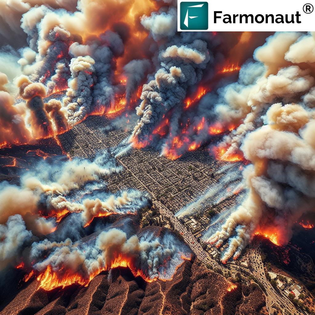
“California wildfires have burned over 37,000 acres in Los Angeles County, destroying thousands of structures.”
As we witness the devastating impact of Southern California wildfires ravaging Los Angeles County and surrounding areas, it’s crucial to explore innovative solutions that can aid in fire prevention and recovery efforts. In this comprehensive blog post, we’ll delve into how Farmonaut’s cutting-edge satellite technology is revolutionizing our approach to wildfire management and helping communities become more resilient in the face of this growing threat.
The Current Wildfire Crisis in Southern California
Southern California is currently grappling with a series of destructive wildfires that have left a trail of devastation in their wake. The Palisades and Eaton fires have burned over 37,000 acres combined, destroying thousands of structures and forcing countless residents to evacuate their homes. Firefighters are battling against strong Santa Ana winds and extreme weather conditions, making containment efforts incredibly challenging.
As the situation unfolds, state officials are mobilizing resources for containment efforts and recovery. A $2.5 billion relief package has been signed to aid wildfire response, emphasizing the critical need for climate change preparedness. However, the complex challenges faced by affected communities extend beyond immediate firefighting efforts.

The Role of Advanced Technology in Wildfire Management
In the face of such devastating wildfires, it’s clear that we need innovative solutions to enhance our fire prevention and recovery strategies. This is where advanced technologies like those developed by Farmonaut come into play. By leveraging satellite imagery and artificial intelligence, we can significantly improve our ability to monitor, prevent, and respond to wildfires.
Farmonaut’s Satellite-Based Monitoring System
Farmonaut’s platform utilizes state-of-the-art satellite technology to provide real-time monitoring of vast areas. While primarily designed for agricultural purposes, this technology has profound implications for wildfire management. Here’s how it works:
- Wide-Area Surveillance: Satellites can cover extensive regions, allowing for continuous monitoring of fire-prone areas.
- Real-Time Data: The system provides up-to-date information, crucial for rapid response to emerging fire threats.
- Vegetation Health Monitoring: By analyzing vegetation indices like NDVI, we can identify areas at high risk of fire due to dry or stressed vegetation.
- Soil Moisture Analysis: Low soil moisture levels can indicate increased fire risk, allowing for preemptive measures.
AI-Powered Fire Detection and Prediction
Farmonaut’s Jeevn AI Advisory System, while primarily focused on agricultural insights, demonstrates the potential of AI in environmental monitoring. When adapted for fire management, such AI systems could:
- Analyze satellite imagery to detect smoke or heat signatures indicative of fire outbreaks.
- Predict high-risk areas based on historical data, weather patterns, and vegetation conditions.
- Generate real-time alerts for fire management teams, enabling faster response times.
Enhancing Fire Prevention Strategies
Prevention is key in mitigating the impact of wildfires. Farmonaut’s technology can significantly contribute to fire prevention efforts in several ways:
1. Early Detection of Fire-Prone Areas
By continuously monitoring vegetation health and soil moisture levels, we can identify areas at high risk of fire before they become critical. This allows for targeted preventive measures such as controlled burns or increased patrols in vulnerable regions.
2. Improved Resource Allocation
With accurate, real-time data on vegetation conditions and fire risk across large areas, fire management agencies can more effectively allocate their resources. This ensures that high-risk areas receive the attention they need, potentially preventing small fires from becoming catastrophic events.
3. Enhanced Public Awareness and Preparedness
By providing accessible, up-to-date information on fire risks, we can improve public awareness and preparedness. This could include timely evacuation warnings or guidelines for creating defensible spaces around properties in high-risk areas.
Explore Farmonaut’s Satellite API
“A $2.5 billion relief package has been signed to aid wildfire response and climate change preparedness in California.”
Streamlining Wildfire Response and Recovery
When wildfires do occur, Farmonaut’s technology can play a crucial role in response and recovery efforts:
1. Real-Time Fire Tracking
Satellite imagery can provide up-to-the-minute information on fire spread and intensity, allowing firefighters to make informed decisions and adjust their strategies in real-time.
2. Evacuation Planning
By accurately mapping the fire’s progress and predicting its path, emergency services can plan and execute evacuations more effectively, potentially saving lives.
3. Post-Fire Assessment
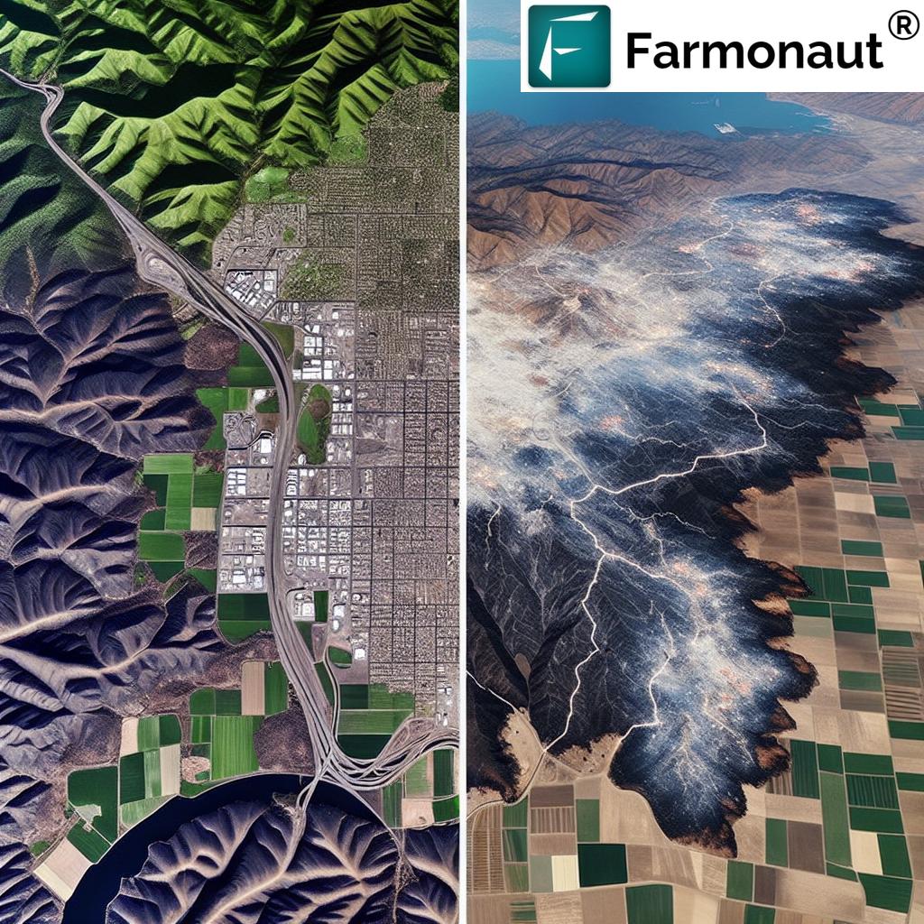
After a fire is contained, satellite imagery can quickly assess the extent of damage, helping to prioritize recovery efforts and allocate resources efficiently.
The Impact of Climate Change on Wildfire Risks
As we discuss wildfire prevention and recovery, it’s crucial to address the underlying factor exacerbating these disasters: climate change. The increasing frequency and intensity of wildfires in California and other regions are closely linked to changing climate patterns. Here’s how Farmonaut’s technology can contribute to our understanding and mitigation of climate-related fire risks:
1. Long-Term Vegetation Monitoring
By tracking changes in vegetation health over time, we can identify trends that may indicate increasing fire risk due to climate change. This long-term data can inform policy decisions and land management strategies aimed at reducing fire hazards.
2. Carbon Footprint Tracking
While primarily designed for agricultural use, Farmonaut’s carbon footprinting feature demonstrates the potential for monitoring environmental impacts. In the context of wildfires, similar technology could be used to:
- Assess the carbon emissions from wildfires, contributing to our understanding of their impact on climate change.
- Monitor the effectiveness of reforestation efforts in fire-affected areas, tracking carbon sequestration over time.
3. Adaptive Management Strategies
As climate patterns shift, our approach to fire management must evolve. Farmonaut’s real-time data and AI-driven insights can help fire management agencies develop and implement adaptive strategies that respond to changing environmental conditions.
Challenges and Considerations
While the potential of satellite technology in wildfire management is immense, it’s important to acknowledge the challenges and considerations involved:
1. Data Interpretation
Satellite data can be complex, requiring expertise to interpret accurately. Training fire management personnel to effectively use this technology is crucial.
2. Integration with Existing Systems
Implementing new technology requires careful integration with existing fire management systems and protocols. This process may require significant time and resources.
3. Balancing Technology with On-the-Ground Expertise
While satellite technology provides valuable insights, it’s essential to combine this data with the expertise of local firefighters and fire ecologists who understand the nuances of their specific regions.
Future Directions: Expanding the Use of Satellite Technology in Fire Management
As we look to the future, there are several exciting possibilities for expanding the use of satellite technology in wildfire prevention and management:
1. Integration with IoT Devices
Combining satellite data with ground-based sensors could provide even more accurate and localized information on fire risks and outbreaks.
2. Advanced Predictive Modeling
As AI and machine learning technologies continue to evolve, we can expect more sophisticated predictive models that can forecast fire behavior with greater accuracy.
3. Collaborative Data Sharing
Developing platforms for sharing satellite data and insights across regions and countries could enhance our global capacity to manage and respond to wildfires.
Comparison: Traditional Methods vs. Farmonaut’s Satellite Technology
| Aspect | Traditional Methods | Farmonaut’s Satellite Technology |
|---|---|---|
| Early Detection | Ground patrols, watchtowers, limited coverage | Wide-area satellite surveillance, AI-powered hotspot detection |
| Real-time Monitoring | Limited to areas with direct observation | Continuous, large-scale monitoring with frequent updates |
| Resource Allocation | Based on local reports and historical data | Data-driven allocation using real-time vegetation and risk assessments |
| Post-fire Assessment | Time-consuming ground surveys | Rapid, comprehensive satellite imagery analysis |
| Long-term Planning | Limited by the scope of ground-based observations | Extensive historical data analysis for trend identification and predictive modeling |
Community Involvement and Education
While advanced technology plays a crucial role in wildfire management, community involvement and education remain essential components of any comprehensive fire prevention strategy. Here’s how we can leverage Farmonaut’s technology to enhance community engagement:
1. Public Access to Fire Risk Information
By making simplified versions of satellite-derived fire risk maps publicly available, we can help residents understand the risks in their areas and take appropriate precautions.
2. Educational Programs
Develop educational programs that teach community members how to interpret basic satellite imagery and understand fire risk indicators. This knowledge can empower individuals to make informed decisions about fire safety.
3. Citizen Science Initiatives
Create platforms where community members can contribute ground-level observations to complement satellite data, fostering a sense of involvement in fire prevention efforts.
Policy Implications and Recommendations
The integration of advanced satellite technology in wildfire management has significant policy implications. Here are some recommendations for policymakers:
1. Invest in Technology Infrastructure
Allocate resources for the implementation and maintenance of satellite-based monitoring systems and the training of personnel to use these technologies effectively.
2. Update Regulatory Frameworks
Develop or update regulations to incorporate satellite-derived data in official fire risk assessments and management plans.
3. Encourage Cross-Sector Collaboration
Foster partnerships between technology companies, fire management agencies, and research institutions to drive innovation in wildfire prevention and management.
4. International Cooperation
Promote international collaboration in satellite-based fire monitoring, as wildfires often cross national boundaries and require coordinated responses.
Explore Farmonaut’s API Developer Docs
Economic Considerations
Implementing advanced satellite technology for wildfire management requires significant investment, but the potential economic benefits are substantial:
1. Cost Savings in Fire Suppression
Early detection and more effective resource allocation can reduce the costs associated with fighting large-scale wildfires.
2. Reduced Property Damage
Improved prevention and faster response times can minimize property damage, leading to significant savings for both individuals and insurance companies.
3. Economic Resilience
By reducing the impact of wildfires on communities, we can help maintain economic stability in fire-prone regions.
4. Job Creation
The development and implementation of these technologies can create new job opportunities in fields such as remote sensing, data analysis, and fire management.

The Road Ahead: Integrating Satellite Technology into Comprehensive Fire Management
As we continue to face the challenges posed by increasingly severe wildfire seasons, the integration of satellite technology into our fire management strategies is not just beneficial—it’s essential. By leveraging the capabilities of platforms like Farmonaut, we can:
- Enhance our ability to predict and prevent wildfires
- Improve the efficiency and effectiveness of our response efforts
- Better understand the long-term impacts of climate change on fire risks
- Empower communities with the knowledge they need to protect themselves
However, it’s important to remember that technology alone is not the solution. Effective wildfire management requires a holistic approach that combines advanced technology with on-the-ground expertise, community involvement, and sound policy decisions.
As we move forward, let’s embrace the potential of satellite technology while continuing to invest in traditional fire management techniques, community education, and climate change mitigation efforts. By doing so, we can build more resilient communities and better protect our natural environments from the devastating impacts of wildfires.
Earn 20% recurring commission with Farmonaut’s affiliate program by sharing your promo code and helping farmers save 10%. Onboard 10 Elite farmers monthly to earn a minimum of $148,000 annually—start now and grow your income!
Farmonaut Subscriptions
Frequently Asked Questions
Q: How accurate is satellite-based fire detection?
A: Satellite-based fire detection can be highly accurate, especially when combined with AI analysis. However, factors like cloud cover can affect accuracy. It’s most effective when used in conjunction with ground-based monitoring.
Q: Can satellite technology predict where fires will start?
A: While it can’t predict exact locations, satellite technology can identify high-risk areas based on factors like vegetation dryness and weather conditions, allowing for targeted prevention efforts.
Q: How often is satellite data updated?
A: Update frequency varies depending on the satellite system used. Some provide updates several times a day, while others may update daily or weekly.
Q: Is satellite monitoring cost-effective for small communities?
A: While the initial investment can be significant, the long-term benefits in terms of fire prevention and damage reduction often outweigh the costs, even for smaller communities.
Q: How can individuals access this satellite data?
A: Many agencies and companies provide public access to simplified versions of fire risk maps and satellite imagery. Check with local fire management agencies for available resources.
In conclusion, as we face the ongoing challenge of California wildfires, integrating advanced technologies like Farmonaut’s satellite-based solutions into our fire prevention and recovery strategies is crucial. By leveraging these innovative tools, we can enhance our ability to protect communities, preserve natural resources, and build a more resilient future in the face of increasing wildfire risks.


