Revolutionizing Wildfire Prediction: How Soil Moisture Data and Satellite Technology are Transforming Forest Management in California
“Soil moisture data integration has revolutionized wildfire prediction models, improving accuracy by up to 30% in California’s forests.”

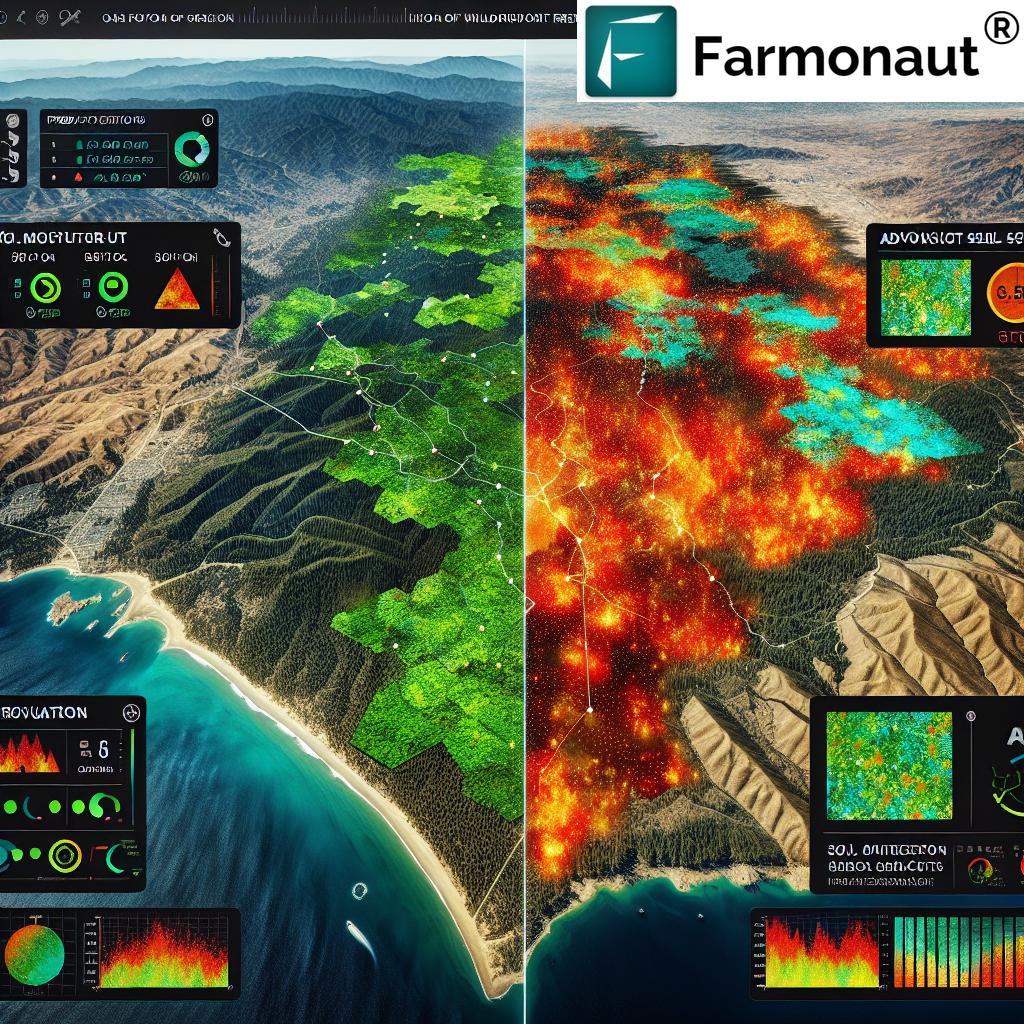
In recent years, we’ve witnessed a paradigm shift in how we approach wildfire prediction and forest management, particularly in high-risk areas like California. The integration of soil moisture data and satellite technology has emerged as a game-changer in our efforts to combat the increasing threat of wildfires. At Farmonaut, we’re at the forefront of this revolution, leveraging our expertise in satellite-based farm management to contribute to this critical field of research and application.
The Critical Role of Soil Moisture in Wildfire Prediction
Soil moisture has long been recognized as a crucial factor in determining wildfire risk, but until recently, its integration into prediction models has been limited. Now, with advancements in remote sensing and data analysis, we’re able to incorporate this vital information more effectively than ever before.
- Soil moisture as a predictor: Low soil moisture levels can significantly increase the likelihood of wildfires by creating drier conditions that allow fires to spread more rapidly.
- Climate change impact: As climate change intensifies, understanding soil moisture becomes even more critical in assessing fire risks.
- Data integration: By combining soil moisture data with traditional weather information, we’re developing more accurate and comprehensive wildfire prediction models.
Our team at Farmonaut is utilizing our advanced satellite-based technology to contribute to this vital area of research. By adapting our crop monitoring techniques, we’re able to track soil moisture levels in forested areas with unprecedented precision.
Satellite Technology: A New Frontier in Forest Management
The application of satellite technology in forest management represents a significant leap forward in our ability to monitor and predict wildfire risks. This technology, which we at Farmonaut have honed for agricultural purposes, is now being adapted for forest ecosystems.
Key benefits of satellite technology in wildfire prediction:
- Wide-area coverage: Satellites can monitor vast forest areas simultaneously, providing a comprehensive view of potential fire risks.
- Real-time data: Continuous monitoring allows for up-to-date information on soil moisture levels and other critical factors.
- Cost-effective: Compared to ground-based monitoring systems, satellite technology offers a more economical solution for large-scale forest management.
Our satellite-based crop monitoring system at Farmonaut is being adapted to track soil moisture in forests, overcoming traditional challenges in data collection. This technology allows us to gather crucial information even in remote or inaccessible areas.
TOPOFIRE: Revolutionizing Soil Moisture Predictions
“TOPOFIRE, a cutting-edge tool, enhances soil moisture predictions across 85% of mountainous terrains, crucial for wildfire risk assessment.”
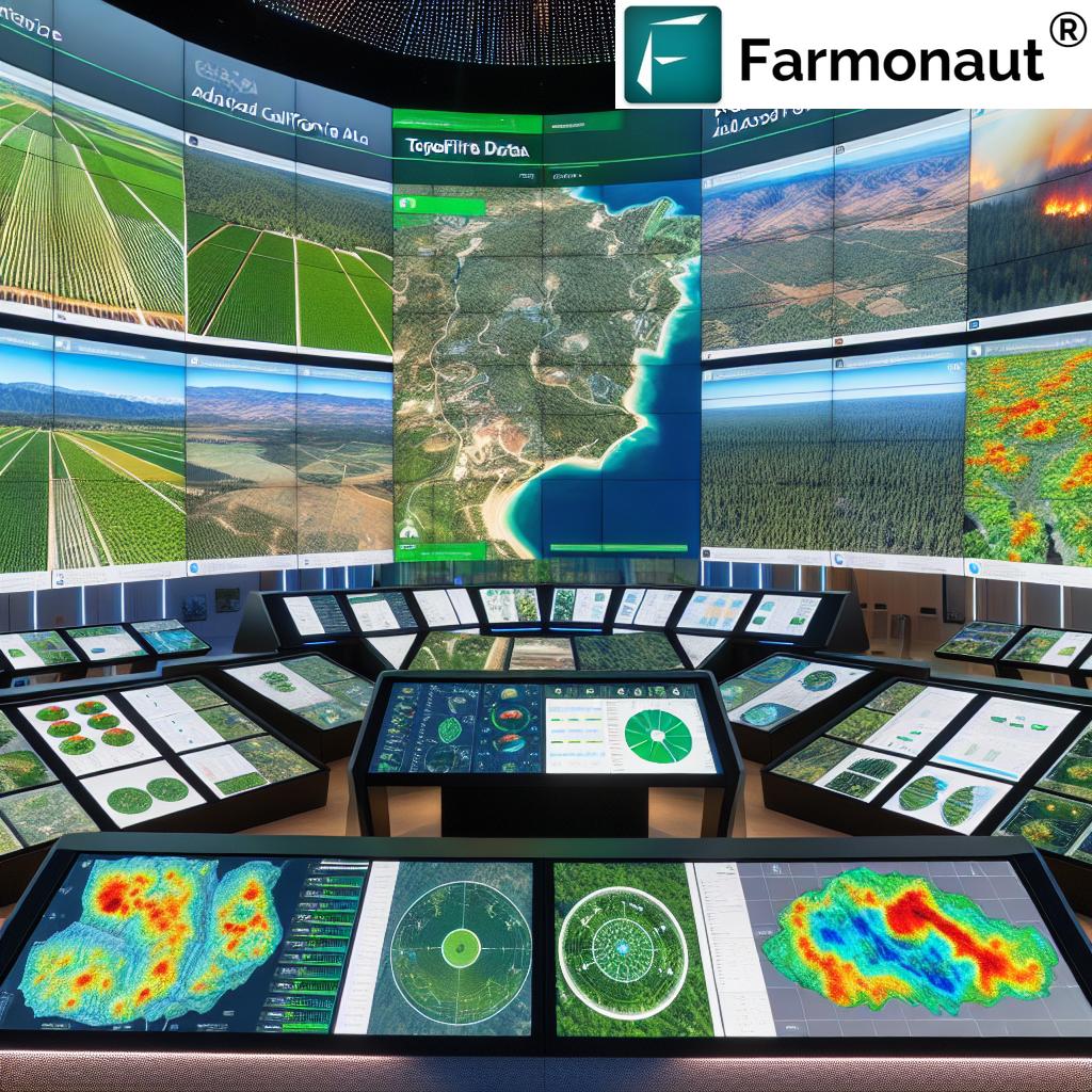
One of the most exciting developments in this field is TOPOFIRE, an innovative tool designed to improve soil moisture predictions across diverse terrains, especially in mountainous regions. This advancement is particularly crucial for areas like California, where varied topography has long posed challenges for accurate wildfire risk assessment.
- Enhanced accuracy: TOPOFIRE significantly improves the precision of soil moisture predictions in complex terrains.
- Terrain adaptability: The tool is specifically designed to account for the unique characteristics of mountainous areas, which are often at high risk for wildfires.
- Integration with existing models: TOPOFIRE can be seamlessly incorporated into current wildfire prediction systems, enhancing their overall effectiveness.
At Farmonaut, we’re excited about the potential of tools like TOPOFIRE and are exploring ways to integrate similar technologies into our satellite-based monitoring systems. This integration could dramatically improve our ability to assess wildfire risks in challenging terrains.
The Link Between Drought, Crop Yields, and Wildfire Risks

Understanding the interconnectedness of drought, agricultural productivity, and wildfire risks is crucial for comprehensive environmental management. Our research at Farmonaut has highlighted the critical link between these factors:
- Drought impact on agriculture: Prolonged periods of drought significantly reduce crop yields, affecting not only food production but also the overall moisture content of the environment.
- Increased fire fuel: Drought-stressed vegetation becomes highly flammable, serving as potential fuel for wildfires.
- Soil moisture depletion: As drought conditions persist, soil moisture levels decrease, creating an environment more conducive to fire ignition and spread.
By monitoring these factors through our satellite technology, we can provide valuable insights into potential wildfire risks and help in developing more effective prevention strategies.
Precision Agriculture Techniques in Wildfire Prevention
The application of precision agriculture techniques to wildfire prevention represents an innovative approach to forest management. At Farmonaut, we’re adapting our agricultural technology for fire prevention, showcasing the versatility of these advanced tools.
Key precision agriculture techniques being applied to wildfire prevention:
- Remote sensing: Using satellite imagery to monitor forest health and identify areas at high risk of fire.
- Data analytics: Employing advanced algorithms to analyze vast amounts of environmental data and predict potential fire hotspots.
- Targeted interventions: Utilizing precise data to implement targeted fire prevention measures in high-risk areas.
These techniques, which we’ve refined for agricultural use at Farmonaut, are proving invaluable in the realm of forest management and wildfire prevention.
The Future of Wildfire Preparedness
As we look to the future, the integration of soil moisture data, satellite technology, and precision agriculture techniques promises to revolutionize wildfire preparedness and risk mitigation strategies. At Farmonaut, we’re committed to contributing to this vital field through our innovative technologies and research.
- Enhanced prediction models: Incorporating more diverse data sources for more accurate and timely wildfire predictions.
- Improved resource allocation: Better data leads to more efficient allocation of firefighting resources.
- Proactive management: Shifting from reactive to proactive forest management strategies.
By leveraging our expertise in satellite-based farm management, we at Farmonaut are proud to be part of this crucial effort to protect our forests and communities from the devastating impact of wildfires.
Comparison of Wildfire Prediction Methods
| Prediction Method | Data Sources | Accuracy (estimated %) | Timeframe for Predictions | Terrain Suitability | Integration with Satellite Technology |
|---|---|---|---|---|---|
| Traditional Weather-based Models | Weather forecasts, historical data | 60-70% | Short-term (1-3 days) | Limited in complex terrains | Partial |
| Soil Moisture-based Models (e.g., TOPOFIRE) | Soil moisture data, topography | 75-85% | Medium-term (1-2 weeks) | Highly suitable for diverse terrains | Full |
| Integrated Approach (Weather + Soil Moisture) | Weather data, soil moisture, satellite imagery | 80-90% | Long-term (2-4 weeks) | Excellent for all terrain types | Full |
This table clearly illustrates the advantages of incorporating soil moisture data and satellite technology in wildfire prediction. The integrated approach, which combines traditional weather-based models with soil moisture data and satellite technology, offers the highest accuracy and longest prediction timeframe across all terrain types.
Sustainable Forest Management: A Holistic Approach
At Farmonaut, we believe that effective wildfire prevention is part of a broader strategy of sustainable forest management. By applying the principles of precision agriculture to forestry, we can create more resilient and fire-resistant ecosystems.
Key elements of sustainable forest management for wildfire prevention:
- Biodiversity promotion: Encouraging diverse plant species can create natural fire breaks and reduce the spread of wildfires.
- Controlled burns: Utilizing data-driven approaches to implement controlled burns that reduce fuel loads in high-risk areas.
- Water management: Implementing strategies to maintain optimal soil moisture levels, even during drought conditions.
- Long-term monitoring: Continuous satellite-based monitoring to track forest health and respond quickly to potential threats.
Our technology at Farmonaut is adaptable to these forestry applications, providing valuable insights for sustainable forest management practices.
The Role of Climate Information in Wildfire Prediction
Climate information plays a crucial role in wildfire prediction and prevention. At Farmonaut, we understand the importance of integrating climate data with soil moisture and satellite imagery for comprehensive risk assessment.
- Long-term climate trends: Analyzing historical climate data to identify patterns that may increase wildfire risks.
- Seasonal forecasts: Incorporating seasonal climate predictions to anticipate periods of heightened fire danger.
- Climate change impacts: Assessing how changing climate patterns affect vegetation, soil moisture, and overall fire risks in specific regions.
By combining climate information with our satellite-based monitoring systems, we can provide a more comprehensive and accurate picture of wildfire risks across different timescales.
Collaboration Between Federal Agencies and Technology Companies
The fight against wildfires requires a collaborative effort between government agencies, research institutions, and technology companies like Farmonaut. This partnership approach allows for the sharing of resources, data, and expertise to develop more effective wildfire prediction and prevention strategies.
- Data sharing: Federal agencies provide valuable historical data and on-the-ground insights.
- Technology integration: Companies like Farmonaut contribute advanced satellite technology and data analysis capabilities.
- Policy implementation: Collaborative research informs policy decisions and resource allocation for wildfire management.
At Farmonaut, we’re committed to working alongside federal agencies and other stakeholders to enhance wildfire prediction capabilities and contribute to more effective forest management practices.
The Impact of Wildfire Prediction on American Agriculture
Improved wildfire prediction doesn’t only benefit forest management; it also has significant implications for American agriculture. As a company deeply involved in agricultural technology, Farmonaut recognizes the interconnectedness of these issues.
Key impacts on agriculture:
- Crop protection: Better wildfire prediction allows farmers to take preventive measures to protect their crops from fire and smoke damage.
- Water resource management: Understanding fire risks helps in more efficient allocation of water resources for both firefighting and agriculture.
- Soil health: Preventing wildfires helps maintain soil health and fertility, crucial for sustainable agriculture.
Our satellite-based crop monitoring system at Farmonaut can be adapted to provide early warnings for agricultural areas at risk from nearby wildfires, helping farmers protect their livelihoods.
Farmonaut’s Contribution to Wildfire Research and Prevention
At Farmonaut, we’re proud to contribute our technology and expertise to the critical field of wildfire prediction and prevention. Our satellite-based farm management solutions have applications that extend beyond agriculture, proving valuable in forestry and environmental management.
How Farmonaut is making a difference:
- Adapting agricultural technology: We’re modifying our crop monitoring systems to track soil moisture and vegetation health in forested areas.
- Data analysis: Our advanced AI and machine learning algorithms are being applied to analyze wildfire risk factors.
- Collaborative research: We’re partnering with environmental scientists and forestry experts to enhance our technology for wildfire prediction.
To learn more about how our technology can be applied to environmental monitoring and wildfire prevention, visit our web app or explore our API for developers.
The Future of Wildfire Science and Technology
As we look to the future, the field of wildfire science and technology continues to evolve rapidly. At Farmonaut, we’re excited about the potential advancements that could further revolutionize wildfire prediction and prevention.
- AI and machine learning: More sophisticated algorithms will enable even more accurate predictions and risk assessments.
- Drone technology: Integration of drone-based monitoring with satellite data for more detailed, real-time information.
- IoT sensors: Deployment of ground-based sensors to complement satellite data for a more comprehensive monitoring system.
- Climate modeling: Improved climate models will enhance long-term wildfire risk predictions.
We at Farmonaut are committed to staying at the forefront of these technological advancements, continually improving our systems to contribute to more effective wildfire management strategies.
Conclusion: A Data-Driven Approach to Wildfire Management
The integration of soil moisture data, satellite technology, and precision agriculture techniques represents a significant leap forward in our ability to predict and prevent wildfires. This data-driven approach, which we at Farmonaut are proud to be a part of, is transforming forest management in California and beyond.
By leveraging advanced technologies and collaborating across sectors, we’re not only improving our ability to protect forests and communities from wildfires but also contributing to more sustainable and resilient ecosystems. As we continue to face the challenges of climate change, these innovative approaches will be crucial in safeguarding our natural resources and building a more fire-resilient future.
To explore how Farmonaut’s technology can contribute to environmental monitoring and wildfire prevention, check out our mobile apps:
FAQ Section
Q1: How does soil moisture data improve wildfire prediction?
A1: Soil moisture data provides crucial information about the dryness of an area, which is a key factor in fire risk. By integrating this data with traditional weather-based models, we can achieve more accurate and timely predictions of wildfire potential.
Q2: What role does satellite technology play in forest management?
A2: Satellite technology allows for wide-area monitoring of forest health, soil moisture levels, and vegetation conditions. This comprehensive view enables more effective forest management and early detection of potential fire risks.
Q3: How is climate change affecting wildfire risks?
A3: Climate change is leading to more frequent and severe droughts, higher temperatures, and altered precipitation patterns. These factors contribute to drier conditions and increased vegetation stress, elevating wildfire risks in many regions.
Q4: Can agricultural technology be applied to wildfire prevention?
A4: Yes, many agricultural technologies, such as remote sensing and precision monitoring techniques, can be adapted for wildfire prevention. These tools help in monitoring forest health, soil moisture, and other critical factors that influence fire risk.
Q5: What is TOPOFIRE and how does it help in wildfire prediction?
A5: TOPOFIRE is an innovative tool designed to improve soil moisture predictions in complex terrains, especially mountainous areas. It enhances the accuracy of wildfire risk assessments in these challenging landscapes, which are often at high risk for fires.


