
Anzá Project Colombia: 5 Powerful Gold Exploration Updates 2025

“Anzá Project’s 2025 drilling campaign covers over 10,000 meters, revealing significant gold mineralization in Colombia’s mid-Cauca belt.”
Introduction: Unveiling the Anzá Project Colombia
Welcome to our comprehensive exploration of the Anzá Project Colombia, a pivotal gold mining venture reshaping the landscape of gold exploration Colombia in one of the world’s prolific mineral belts. In 2025, with full ownership and expanded land holdings, the Anzá Project positions itself as a leader in mid-Cauca belt mining. From cutting-edge drilling and innovative soil sampling techniques to advanced geological mapping Colombia and large-scale resource estimation, join us as we analyze its five most powerful updates.
Project Overview: Gold Exploration in the Heart of Colombia
The Anzá Project Colombia sits approximately 50 kilometers west of Medellin, right at the core of Colombia’s resource-rich mid-Cauca belt. This mining area holds immense potential, being sandwiched between globally significant gold-copper porphyry system projects like Buritica, Quebradona, and Guayabales/Marmato. With excellent infrastructure—including water, power, reliable communications, and a robust camp base—the project enables seamless drilling and exploration operations year-round.
Since the conclusion of the Share Purchase Agreement with Minera Monte Aguila (MMA) in November 2024, Orosur Mining Inc. has become the exclusive owner. This step doubled its land holdings in the region to over 400km², presenting vast opportunities for exploration licence applications Colombia. Notably, APTA, Pepas, and El Cedro stand as three central prospects driving the project’s success. Drilling in Medellin area has been especially productive at the Pepas prospect, while new discoveries continue to emerge across north and south sections.

Ownership, Infrastructure & Land Expansion: The Anzá Advantage
In late 2024, the completion of the transaction with MMA transformed Orosur’s stake in the Anzá Project Colombia. All previous joint venture shares were acquired, making the project fully owned and more dynamic than ever. The expansion to nearly 400km²—comprising exploration licences, exploitation permits, and several licence applications—has established Orosur as a major landholder in the mid-Cauca belt mining landscape.
- Infrastructure: All-weather road access, year-round operational base camp, ample power, water, spacious core storage, and modern communications ensure that advanced exploration can continue uninterrupted in all sections of the area.
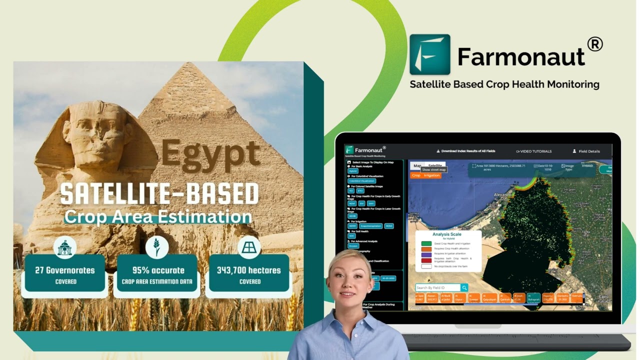
- GIS and Mapping: Leveraging Farmonaut’s satellite-driven GIS enables rapid ground survey, data processing, mapping, and area analysis for both immediate prospect assessment and future planning.
- Exploration Licence Applications Colombia: Numerous additional licence applications are awaiting formal assessment, underpinning future expansion and resource growth in both north and south zones.


Exploration Fronts: Pepas, APTA, and El Cedro
The Anzá Project’s exploration is centered on three promising prospects:
- Pepas Prospect (North): Renowned for its high-grade core and new channel exposures north of current drilling. This section is the focus of aggressive drilling and sampling, aiming for a maiden mineral resource estimation in the near future.
- APTA Base (Central): Serving as the heart of the exploration camp and operations base, it connects and supports activities towards both north (Pepas) and south (El Cedro).
- El Cedro Prospect (South): Home to a newly mapped gold-copper porphyry system, wide-spread anomalous soils, and several artisanal mining tunnels now being re-assessed. Reference to soil sampling techniques, advanced geological mapping Colombia, and channel work is crucial for future drill targeting.
Gold Exploration Activity Summary Table
| Update No. | Activity Type | Area/Location | Estimated Quantity/Scope | Key Findings/Results | Projected Impact |
|---|---|---|---|---|---|
| 1 | Drilling | Pepas (North, >10 km from APTA base) | 21 holes post-transaction, 10,000+ meters | Thick medium to high grade intersections; proof of large mineralized system | Resource definition & expansion; foundation for maiden resource estimate |
| 2 | Channel/Sampling | Pepas North, exposed ridges | 105m @ 1.15 g/t Au & 49m @ 2.59 g/t Au | Near-surface, high-grade exposures with >27 g/t Au in best 1m interval | New drill targets; demonstrates system openness northward |
| 3 | Geological Mapping/GIS | Pepas, El Cedro, All Titles | 15+ new gold-bearing zones mapped | Large footprint of gold anomalism, porphyry and epithermal features | Significant boost to resource estimation and long-term exploration pipeline |
| 4 | Resource Estimation | Pepas Core | Infill drilling; drone magnetic survey | Improved data for 3D modeling and future JORC/NI 43-101 reporting | Delivers investor confidence, fast-tracks economic studies |
| 5 | Soil Sampling/Porphyry Targeting | El Cedro (South) | 25% of planned campaign completed; targeting >1500 samples | >5 g/t Au + multi-metal (Cu, Mo) anomalies, mapped abandoned tunnels | Confirms large-scale gold-copper porphyry potential, next drill area |

Update 1: Expansion Drilling at Pepas Prospect
The Pepas prospect, positioned at the north extent of the main licence and more than 10km away from the APTA base camp, is the flagship of Anzá’s 2025 drilling program. The campaign began by verifying and extending previous high-grade intersections, focusing on both the central high-grade core and peripheral low-grade halos.
- Recent Holes (PEP028 – PEP032):
- PEP028: Defined the Tesorito South fault, confirming thickness and continuity of mineralisation at the northern edge; thick, medium-grade gold intersections support robust geology.
- PEP029 & PEP030: Stepped NW for horizon testing; intersected extensive, lower grade mineralisation, signaling a broad, prospective halo around the high-grade core.
- PEP031B: Redrill in southeast; intersected moderate-grade zones related to later mineralising events.
- PEP032: Southern infill drilling returned a very thick interval of moderate grade from surface, increasing confidence for resource modeling.
- Exploration Rationale: Focused central drilling accelerates 3D resource estimation while step-outs define system size and orientation.
Quality control is maintained through rigorous soil and core sampling techniques, with robust QA/QC protocols covering all samples.
Drilling in Medellin Area: Technical Significance
The drilling in Medellin area (specifically around Pepas) leverages existing infrastructure (roads, camp, water, power) and is supported by modern logistics and environmental management practices. All drill core is HQ diameter; each recovered section is split, catalogued, and sampled over variable widths depending on geological features. Half the core remains on site for reference, while the other is dispatched to labs for fire assay and multi-element analysis.
- Drilled intersections reported on a 0.3g/t Au over 3m lower cut-off
- Real downhole thicknesses; true thicknesses yet to be determined as model building continues
Such systematic data permits accurate mineral resource estimation, following international standards.
Update 2: High-Resolution Soil and Channel Sampling—Unlocking North Pepas
Advanced soil sampling techniques and precision channel sampling methods are helping push the Anzá Project’s frontiers further north. Following up on extensive ridge-and-spur soil geochemistry, teams have focused on rare in-situ rock exposures, especially in the Pepas North region.
- Notable Channel Sample Results:
- 105m continuous interval grading 1.15 g/t Au, with numerous samples exceeding 5 g/t Au
- 49m @ 2.59 g/t Au, including a 10m run at 6.93 g/t Au and peak value of 27.23 g/t Au (over 1m)
These new exposures, supported by accurate mapping, demonstrate the open-ended nature of the mineralised system towards the north. Land access agreements are now in place, with drilling at North Pepas imminent.
To integrate geological and geophysical data, a drone-based airborne magnetic survey was recently completed. These results will refine future drill targeting by illuminating underlying structure and system controls—vital for precision exploration and reducing financial risk.
For gold mining operators and commodity traders requiring robust supply chain security, Farmonaut’s blockchain-based traceability solution ensures end-to-end transparency and verifiable origin for precious metals, from mine to market.

Update 3: Geological Mapping & GIS Propel Gold Exploration Colombia
A foundational pillar in gold exploration Colombia is thorough, scalable geological mapping. The Anzá Project leverages satellite-based GIS, drone tech, and systematic ground traverses to identify and catalog mineralized zones throughout the belt.
- 15+ New Gold-Bearing Zones: Detailed mapping confirmed by channel and soil samples, as well as geochemical and magnetic data, have dramatically increased the project’s resource inventory.
- El Cedro Porphyry System: Reconnaissance by both Anglo American (historic) and MMA teams, now continued by Orosur, has outlined a ring-structure porphyry—a prime target for large-scale gold-copper systems.
- GIS Integration: Centralized digital data and layered mapping help prioritize drilling sequence, facilitate licence application area management, and underpin environmental and land use planning.
This robust, digitized approach de-risks each section of the project and optimizes resource allocation for ongoing exploration.
Coordinating widespread field operations? Farmonaut’s fleet and resource management tools enable mining, environmental, and agricultural enterprises to track assets, optimize route planning, and maximize safety—crucial for projects such as Anzá and other multi-zone developments.
“Geological mapping at Anzá identified more than 15 new gold-bearing zones, boosting resource estimates for the region.”
Update 4: Resource Estimation and Data from Recent Drilling
Comprehensive mineral resource estimation is the next major milestone for the Anzá Project Colombia. Data from infill and extensional drilling at Pepas has refined grade distribution models and supported 3D geological interpretation. The recent drone-based airborne geophysical survey further enhances target precision.
- Drill Core Handling & Sample QA/QC: Industry standard protocols are followed, including on-site core splitting, retention, and certified reference materials with ~10% QAQC checks.
- Assay Pathways: Initial analyses conducted at Medellin labs (ALS Colombia and Actlabs), with over-limit and multi-element samples sent for advanced processing in Canada and Peru.
- Reporting Standards: All gold intersections reported at 0.3g/t Au over 3m thresholds, consistent with international mineral resource estimation and investment reporting requirements.
With 21 new holes drilled and more in the pipeline, the project is on track for a maiden mineral resource estimate—a critical resource quantification step for both internal planning and external disclosure to investors, financial partners, and local authorities.
Agricultural and mining land owners seeking streamlined, evidence-based risk assessment can benefit from Farmonaut’s satellite-based crop loan and insurance verification services. Reduce fraud, speed up approval, and improve access to finance with reliable, independent verification—applicable for both crops and environmental restoration commitments associated with mining licences.
Update 5: El Cedro Porphyry System—Southern Expansion
Located south of APTA within the integrated licence, El Cedro represents a compelling gold-copper porphyry system, historically under-explored due to access limitations and the complexity of required analytical techniques.
- 2025 Activity Highlights:
- Large-scale ridge and spur soil sampling program—25% completed, aiming for systematic coverage of suspected intrusive system footprint.
- High-grade gold (often >5g/t Au) and multi-metal (copper, molybdenum) anomalies confirmed from both soils and channel samples.
- Artisanal tunnels mapped and sampled, revealing multiple epithermal vein systems within and around dioritic intrusions.
- Magnetic data suggests ring-structure system, supporting the presence of a large, fertile, mineralized environment—an ideal future drill target.
- Assay Logistics: Gold content initially analyzed via fire assay in Medellin, with samples sent to Canada for full multi-element characterization due to instrumentation limitations in Colombia.
Successful confirmation and expansion of the porphyry footprint at El Cedro sets the stage for a new wave of drilling, which is expected to further solidify the Anzá Project’s status as a premier Colombian gold discovery.
Empowering Exploration with Farmonaut: Precision Insights
Modern mineral exploration increasingly relies on data-driven, satellite-enabled solutions to support operational decision making. Farmonaut delivers this through advanced satellite-based crop health monitoring, AI advisory, and robust fleet/resource management systems. These platforms empower remote asset monitoring, enable instant field anomaly detection, and support compliance with law and insurance requirements across land use, crop rotation, and restoration post-mining activities.
- Real-time Data: Multispectral satellite imagery delivers up-to-date insights on soil health, ground cover, water usage, and vegetation trends—valuable for alignments with environmental, legal, and financial reporting.
- Traceability & Blockchain: Ranchers, crop growers, and mineral rights holders improve supply chain integrity, meet audit standards, and foster consumer/investor trust with traceability enabled by blockchain.
- Resource Optimization: Using Farmonaut’s fleet management tools reduces inefficiency, operational costs, and environmental footprint, central in mining and agricultural cross-sector projects like Anzá.
- Sustainable Practices & Carbon Footprint: Stakeholders achieve regulatory and market-driven sustainability goals via Farmonaut’s carbon footprint tracking, which documents emissions across operational and post-extraction landscapes.
Large-Scale Farm & Plantation Management
Access Crop, Forest, and Plantation Advisory
Sustainability and Traceability in Mining Area Operations
Regulatory demand and stakeholder expectations regarding environmental, social, and governance (ESG) metrics have never been higher in the gold exploration Colombia sector. Transparent, documented stewardship—spanning soil and water usage, emissions, reclamation, and local employment—underpins the Anzá Project’s ongoing social license to operate.
- Environmental Monitoring: Systematic, satellite-based resource audits (via Farmonaut or similar platforms) offer third-party verifiable records on land use, reforestation, and water management—vital for legal compliance and insurance/financial support.
- Product Traceability: Integration of blockchain-secured data tracks minerals from extraction to market, mitigating risks in export documentation and ensuring compliance with both national and international law.
- Carbon and Sustainability Reporting: Standardized carbon measurement, as provided in Farmonaut’s carbon footprint solution, is crucial for aligning with global ESG standards and accessing premium markets for responsibly-mined gold.
Technology’s Role in Modern Gold Exploration
Satellite imagery, AI, and data science now revolutionize every stage of mineral resource estimation, field mapping, and compliance documentation. The Anzá Project integrates these advancements:
- Remote Sensing: Rapid ground coverage with soil moisture, vegetation indices (NDVI), and thermal imaging for pre-field reconnaissance.
- GIS & Data Management: Secure, cloud-based aggregation of field samples data, drill results, mapping, and compliance documents streamline internal workflows and licence management.
- AI Advisory Systems: Predictive models suggest optimal drill pattern, interpret complex multi-variable data, and help allocate resources to highest probability targets.
Operators in mining and agriculture alike can benefit from Farmonaut’s API integration services. Deploying Farmonaut’s API developer tools enhances exploration and compliance data pipelines for both in-house geologists and third-party consultants.
Farmonaut Subscription Plans and Benefits
Whether managing a single prospect or hundreds of hectares, Farmonaut’s subscription packages offer scalable solutions. Tiered plans are tailored for individual operators, large-scale agribusinesses, and research institutions—delivered via easy-to-use web, Android, and iOS apps. Whether you need instant crop and land monitoring, fleet tracking, or automated traceability, you’ll find a plan that fits. Below are user-friendly, mobile-optimized subscription options for your operational needs:
FAQs: Anzá Project & Gold Exploration Trends
- What is the Anzá Project Colombia?
- The Anzá Project is a fully-owned gold exploration initiative by Orosur Mining Inc., located ~50 km west of Medellin in the productive mid-Cauca belt of Colombia. It covers 399 km² and focuses on three main prospects: Pepas, APTA, and El Cedro.
- What are the main updates in Anzá Project’s 2025 exploration program?
- Key updates include: post-acquisition expansion drilling at Pepas, high-grade channel sampling to the North, advanced geological mapping identifying >15 new gold-bearing zones, integration of drone-based magnetic surveys, and renewed soil sampling campaigns at El Cedro’s porphyry system.
- How does Farmonaut contribute to exploration projects?
- Farmonaut provides satellite-based, real-time crop, land, and resource management services—including fleet tracking, environmental compliance data, carbon footprint reporting, and blockchain product traceability—delivered via web, mobile, and API.
- Why is geological mapping important in gold exploration Colombia?
- Geological mapping defines structural controls, mineralized trends, and prospect boundaries, enabling efficient drill targeting, optimizing resource allocation, and supporting accurate licence applications and regulatory submissions.
- How are gold samples analyzed and verified?
- Drill core and soil samples are split, catalogued, and analyzed via fire assay and advanced multi-element methods in accredited laboratories, with rigorous QA/QC protocols ensuring data reliability for international reporting and compliance.
- What benefits does blockchain-based traceability offer mining operations?
- Blockchain ensures transparent, tamper-proof supply chain records, meeting modern ESG and legal standards, increasing trust with investors and buyers, and improving access to premium markets.
Conclusion: The Road Ahead in Mid-Cauca Belt Mining
The Anzá Project Colombia is rapidly establishing itself at the forefront of gold exploration Colombia, with its strategic investments in infrastructure, rigorous sampling, state-of-the-art geological mapping Colombia, and modern resource assessment. As new drill intersections, channel samples, and GIS-driven mapping reshape our understanding of this richly endowed belt, Anzá is well-positioned to unlock value—both for the mining operator and for the region’s economic future. By integrating leading-edge agricultural and mining support technologies from platforms like Farmonaut, stakeholders ensure sustainable, efficient, and transparent operations, setting the new standard for mid-Cauca belt mining in 2025 and beyond.


