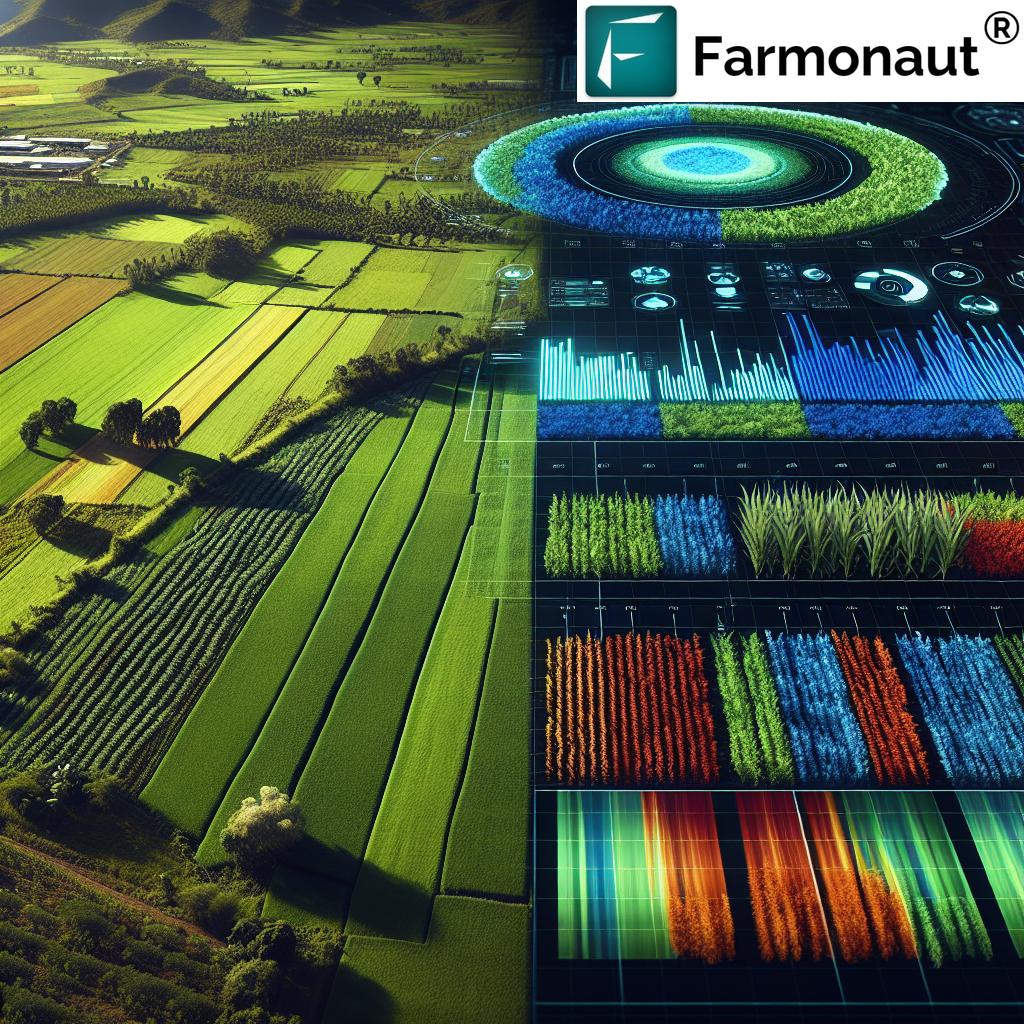
Revolutionizing Agriculture: The Power of Satellite Technology in Crop Monitoring and Soil Moisture Analytics
In today’s rapidly evolving agricultural landscape, we at Farmonaut are at the forefront of a technological revolution that is transforming the way we approach farming. By harnessing the power of satellite technology, we’re enabling farmers and agricultural professionals to monitor their crops with unprecedented precision, analyze soil moisture levels in real-time, and optimize seed production like never before. This blog post will delve into the intricate world of satellite-powered agriculture, exploring how this cutting-edge technology is reshaping the industry and paving the way for a more sustainable and productive future.
The Evolution of Crop Monitoring: From Ground to Space
Traditional crop monitoring methods have long relied on manual field inspections and ground-based sensors. While these approaches have served us well for generations, they come with limitations in terms of scale, accuracy, and timeliness. Enter satellite technology – a game-changer in the realm of agricultural monitoring.
Satellites orbiting the Earth provide us with a bird’s-eye view of vast agricultural landscapes, allowing us to monitor crops across expansive areas with remarkable detail. This technology has revolutionized our ability to:
- Detect early signs of crop stress
- Identify pest and disease outbreaks
- Assess crop health and vigor
- Estimate yield potential
- Track crop growth stages
By leveraging multispectral and hyperspectral imaging capabilities, satellites can capture data across various wavelengths of light, providing insights that go far beyond what the human eye can perceive. This wealth of information allows farmers to make data-driven decisions, optimize resource allocation, and ultimately improve crop yields.
Soil Moisture Analytics: The Foundation of Healthy Crops
Soil moisture is a critical factor in crop health and productivity. Too little moisture can lead to drought stress, while excess moisture can cause waterlogging and root rot. Traditionally, farmers have relied on visual inspection and manual soil testing to gauge moisture levels. However, these methods are time-consuming, labor-intensive, and often provide only localized data.
Satellite-based soil moisture analytics offer a revolutionary approach to monitoring this vital resource. By utilizing microwave sensors, satellites can penetrate the Earth’s surface and measure soil moisture content across vast areas. This technology provides several key advantages:
- Large-scale coverage: Monitor soil moisture levels across entire fields or regions
- High temporal resolution: Frequent updates allow for timely decision-making
- Non-invasive measurements: No need for in-situ sensors or field visits
- Integration with other data sources: Combine soil moisture data with weather forecasts and crop models for comprehensive insights
At Farmonaut, we’ve developed advanced algorithms that process this satellite data, providing farmers with actionable insights on soil moisture conditions. This information enables precise irrigation management, helping to conserve water resources while optimizing crop growth.
Enhancing Seed Production through Geospatial Intelligence
The seed industry plays a crucial role in global food security, and optimizing seed production is essential for meeting the growing demand for high-quality seeds. Satellite technology and geospatial analytics are transforming the way we approach seed production, offering unprecedented levels of insight and control.
Here are some ways in which satellite-based solutions are revolutionizing seed production:
- Site selection: Analyze historical satellite data to identify optimal locations for seed production based on climate, soil conditions, and other environmental factors.
- Crop uniformity monitoring: Use high-resolution satellite imagery to assess crop uniformity and detect areas of variability that may affect seed quality.
- Pollination management: Monitor flowering patterns and pollen dispersal to optimize the timing of pollination activities.
- Disease and pest surveillance: Detect early signs of disease or pest infestations that could compromise seed quality.
- Harvest timing optimization: Use satellite-derived crop maturity indices to determine the ideal harvest time for maximum seed yield and quality.
By leveraging these geospatial insights, seed producers can enhance their operations, improve seed quality, and increase overall production efficiency.

The Role of Landsat in Agricultural Monitoring
When discussing satellite-based agricultural monitoring, it’s impossible to overlook the significant contributions of the Landsat program. Launched in 1972, Landsat has provided the longest continuous record of Earth’s land surface from space, offering invaluable data for agricultural research and applications.
Landsat satellites capture multispectral imagery at a resolution of 30 meters, making them ideal for monitoring large-scale agricultural operations. The program’s long-term dataset allows researchers and farmers to analyze trends in crop health, land use changes, and environmental impacts over time.
Key benefits of Landsat data for agriculture include:
- Long-term historical records for trend analysis
- Consistent data quality and calibration
- Global coverage with frequent revisit times
- Free and open data access
At Farmonaut, we integrate Landsat data into our advanced analytics platform, combining it with other satellite sources to provide comprehensive insights for our users. This multi-source approach ensures robust and reliable agricultural monitoring capabilities.
Drones: Complementing Satellite Technology in Precision Agriculture
While satellites provide unparalleled coverage and frequency of data collection, drones have emerged as a complementary technology that offers ultra-high-resolution imagery and on-demand monitoring capabilities. The integration of drone technology with satellite-based monitoring systems creates a powerful synergy for precision agriculture.
Drones excel in providing:
- Centimeter-level resolution imagery
- Flexible and on-demand data collection
- Ability to operate under cloud cover
- Multispectral and thermal imaging capabilities
By combining satellite and drone data, farmers can benefit from both broad-scale monitoring and detailed, localized insights. This multi-scale approach enables more precise decision-making and targeted interventions in crop management.
Environmental Monitoring and Sustainable Agriculture
As the global population continues to grow, the agricultural sector faces increasing pressure to boost productivity while minimizing its environmental impact. Satellite technology plays a crucial role in monitoring and promoting sustainable agricultural practices.
Some key applications of satellite data in environmental monitoring for agriculture include:
- Land use change detection: Monitor deforestation, urbanization, and agricultural expansion
- Water resource management: Track surface water bodies, assess water quality, and monitor irrigation practices
- Soil erosion assessment: Identify areas at risk of soil erosion and monitor the effectiveness of conservation measures
- Biodiversity monitoring: Assess habitat quality and track changes in ecosystem health
- Carbon sequestration estimation: Quantify the carbon storage potential of agricultural lands and forests
By leveraging these satellite-based insights, we can work towards more sustainable agricultural practices that balance productivity with environmental stewardship.
The Power of Agricultural Analytics
The true value of satellite data lies in its analysis and interpretation. Advanced analytics techniques, including machine learning and artificial intelligence, are transforming raw satellite data into actionable insights for farmers and agricultural professionals.
At Farmonaut, we’ve developed sophisticated analytics algorithms that process vast amounts of satellite data to provide our users with:
- Crop health indices and anomaly detection
- Yield prediction models
- Pest and disease risk assessments
- Irrigation scheduling recommendations
- Fertilizer application optimization
These analytics-driven insights enable data-informed decision-making, leading to improved resource efficiency, reduced environmental impact, and increased profitability for farmers.
The Future of Agriculture and Horticulture: A Satellite-Powered Vision
As we look to the future, the integration of satellite technology in agriculture and horticulture is set to deepen and expand. Emerging trends and technologies that will shape the future of satellite-powered farming include:
- Hyperspectral imaging: Next-generation satellites with hyperspectral sensors will provide even more detailed information on crop health and soil properties.
- Internet of Things (IoT) integration: Seamless integration of satellite data with ground-based IoT sensors will create more comprehensive and real-time monitoring systems.
- Artificial Intelligence and Machine Learning: Advanced AI algorithms will improve the accuracy of crop yield predictions, disease detection, and resource optimization.
- Blockchain technology: Integration of satellite data with blockchain systems will enhance traceability and transparency in the agricultural supply chain.
- Climate change adaptation: Satellite data will play a crucial role in developing resilient agricultural practices in the face of changing climate patterns.
These advancements promise to further revolutionize the agricultural sector, driving increased productivity, sustainability, and food security on a global scale.
Comparing Traditional Farming Methods with Farmonaut’s Satellite System
| Feature | Traditional Farming Methods | Farmonaut Satellite System |
|---|---|---|
| Crop Monitoring | Manual field inspections, limited coverage | Real-time, large-scale monitoring with high-resolution imagery |
| Soil Moisture Analysis | Spot checks, labor-intensive soil sampling | Continuous, wide-area soil moisture mapping |
| Seed Production Optimization | Limited data for decision-making | Data-driven site selection, uniformity monitoring, and harvest timing |
| Environmental Impact | Difficult to assess on a large scale | Comprehensive environmental monitoring and impact assessment |
| Cost-Effectiveness | High labor costs, limited scalability | Scalable, cost-effective monitoring for farms of all sizes |
Conclusion: Embracing the Satellite-Powered Agricultural Revolution
The integration of satellite technology in agriculture represents a paradigm shift in how we approach farming and food production. From precise crop monitoring and soil moisture analytics to optimized seed production and environmental stewardship, satellite-powered solutions are driving unprecedented advancements in the agricultural sector.
At Farmonaut, we’re committed to making these cutting-edge technologies accessible to farmers and agricultural professionals worldwide. Our platform combines the power of satellite imagery, advanced analytics, and user-friendly interfaces to deliver actionable insights that drive sustainable and productive farming practices.
As we continue to innovate and push the boundaries of what’s possible with satellite technology in agriculture, we invite you to join us on this exciting journey. Together, we can build a more resilient, sustainable, and productive agricultural future.
To experience the power of satellite-powered agriculture firsthand, visit our Farmonaut application or explore our API services for developers. Download our mobile app for on-the-go access to your farm’s satellite data:
For more information on integrating our satellite and weather data into your own systems, check out our API documentation.
Frequently Asked Questions (FAQ)
-
Q: How often is satellite imagery updated in Farmonaut’s system?
A: Our system typically provides updates every 3-5 days, depending on satellite availability and weather conditions. -
Q: Can satellite monitoring completely replace on-ground inspections?
A: While satellite monitoring greatly reduces the need for frequent field visits, occasional ground truthing is still recommended to validate satellite data and address specific issues. -
Q: How accurate is satellite-based soil moisture analysis?
A: Satellite-based soil moisture analysis can provide accurate estimates within 3-5% of in-situ measurements, depending on soil type and vegetation cover. -
Q: Is Farmonaut’s platform suitable for small-scale farmers?
A: Yes, our platform is designed to be scalable and accessible for farmers of all sizes, from small family farms to large agricultural operations. -
Q: How does cloud cover affect satellite monitoring?
A: Cloud cover can interfere with optical satellite imagery. However, we use a combination of optical and radar satellites to ensure consistent monitoring even in cloudy conditions.
Ready to revolutionize your farming practices with satellite-powered insights? Subscribe to Farmonaut today: