DEM (Digital Elevation Model)
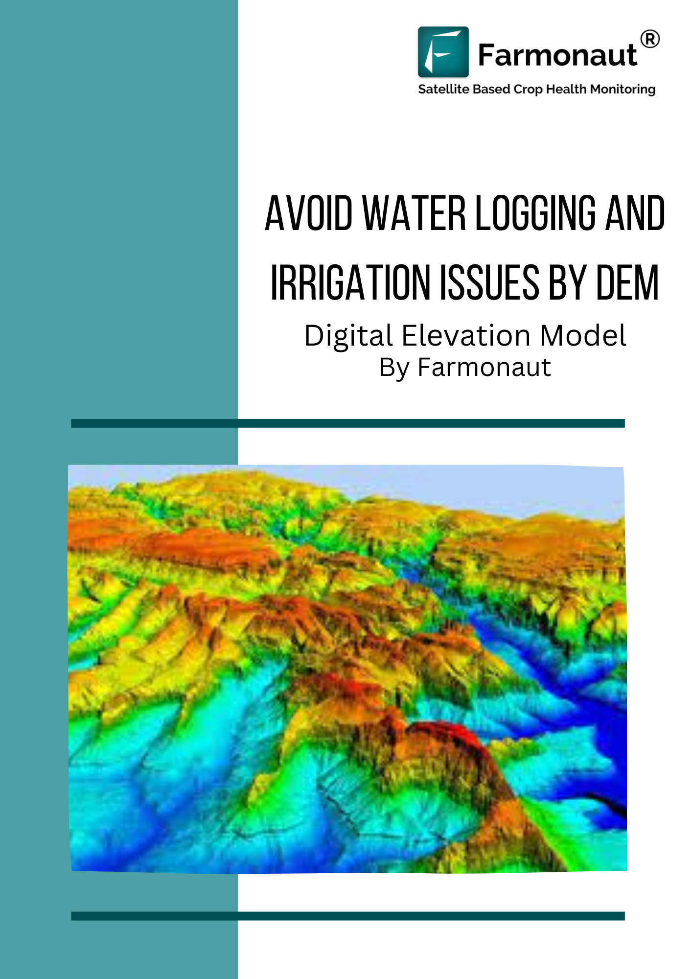
All fields/farms are not of the same elevation, with different fields lying on different slopes it requires to know the slope. DEM helps in representation of elevation data to depict the terrains. It represents the bare ground of the earth by eliminating the trees, buildings and any such other objects. Hence, the elevation would be accurate according to the needs of the user by using DEM.
Problems
Due to excessive rainfall or intensive irrigation in various areas, the water logging in the terrain leads to the damage of crops. Elevation in the farms clogs the water at the low terrain areas and hence creates issues such as soil erosion, soil degradation, etc.
To get an idea of the terrain regions of the farmland Farmonaut has been providing DEM satellite data for avoiding such issues caused by elevation.
Solution provided by Farmonaut
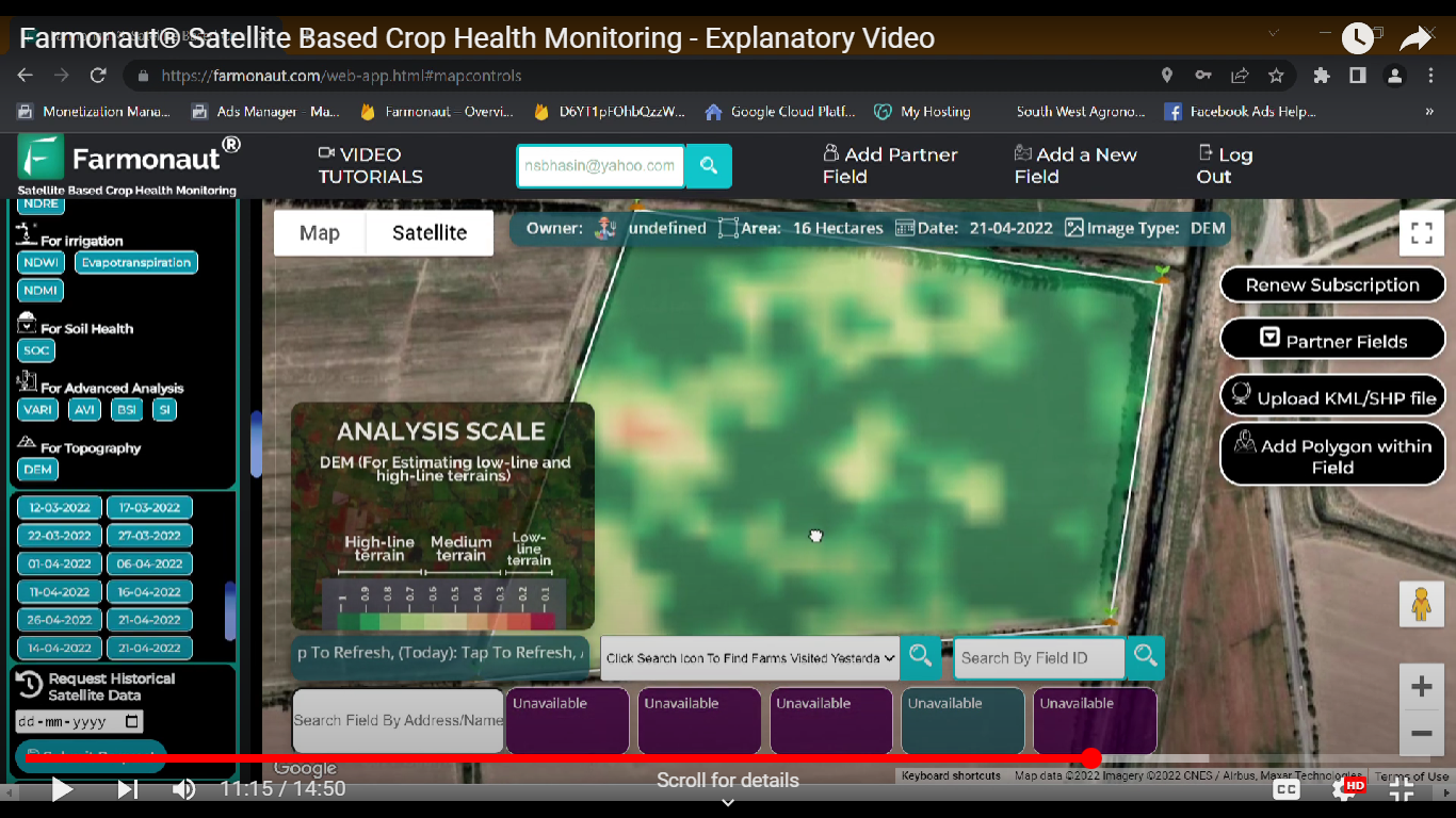
Farmonaut technologies is providing satellite data to all the farmers for knowing their farm crops better and helping them handle it. DEM data are also provided by farmonaut which are easy to analyze and interpret for your farms. The farmers can have a look at the DEM image of their farm in different color codes which is analyzed using the analysis scale which represents the low terrain and high terrain region.
Knowing the terrain at different areas on the farm, the farmer can take precautions for the water logging conditions that may occur such as building temporary water drain passage or any other water removal mechanism.
How to Access the DEM image?
Step 1: Login to your account on the Farmonaut application.
Step 2: Select the farm you want the satellite image for.
Step 3: Click on the DEM button under the image for topography.
![]()
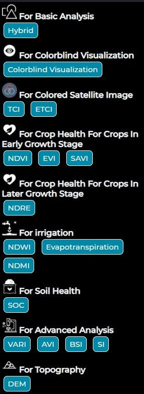
Step 4: the DEM image will be displayed on the farm you selected.
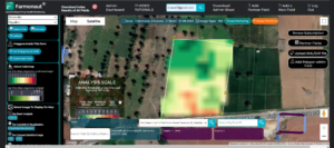
Step 5: Interpret the image using the analysis scale provided below the farm. Shown in figure below.
