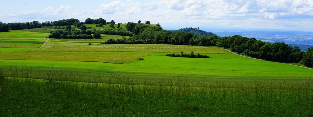
In the world of agriculture, accurate area estimation is a critical factor for effective planning, resource allocation, and yield prediction. This becomes particularly challenging in hilly areas, where traditional measurement methods are often impractical or inaccurate due to the uneven terrain. However, with technological advancements, innovative solutions like Farmonaut have emerged, revolutionizing area estimation for plantations in hilly regions. With its cutting-edge remote sensing and artificial intelligence capabilities, Farmonaut provides farmers and land managers with precise and efficient tools to measure the extent of plantations, leading to better decision-making and improved agricultural practices.
The Challenges of Area Estimation in Hilly Areas
Hilly areas pose unique challenges when it comes to accurate area estimation for plantations. The undulating terrain, steep slopes, and irregular shapes of the fields make it difficult to rely on traditional measuring techniques. Manual methods such as tape measurement or chain surveying are time-consuming, labor-intensive, and prone to errors. Additionally, estimating the area of plantations on hilly terrains often requires accessing difficult-to-reach locations, posing safety risks for field personnel.
Emergence of Farmonaut
Farmonaut is an innovative platform that harnesses the power of remote sensing and artificial intelligence (AI) to provide farmers with precise area estimation tools. By leveraging satellite imagery, aerial photography, and advanced algorithms, Farmonaut overcomes the limitations of traditional methods and offers an efficient and accurate solution for measuring plantation areas in hilly regions.
How Farmonaut Works?
Farmonaut employs a multi-step process to estimate plantation areas in hilly areas. The platform utilizes high-resolution satellite imagery or aerial photography to capture detailed information about the landscape. These images are then processed using AI algorithms to identify and delineate the boundaries of the plantations. By employing sophisticated image segmentation techniques, Farmonaut can distinguish vegetation from other elements in the landscape, enabling precise area estimation.
The AI algorithms employed by Farmonaut undergo continuous training to improve their accuracy and adaptability. Machine learning models analyze vast amounts of data, including historical plantation data, to enhance their understanding of different crop types, growth stages, and terrain variations. This iterative learning process helps Farmonaut provide increasingly precise area estimates over time.
Advantages of Farmonaut
Farmonaut offers several advantages over traditional area estimation methods:
a) Efficiency: By automating the process of area estimation, Farmonaut saves significant time and effort for farmers. Field personnel no longer need to physically visit every corner of the plantation for measurement, reducing the workload and increasing operational efficiency.
b) Accuracy: Farmonaut’s advanced AI algorithms can accurately identify and measure plantation areas, even in complex hilly terrains. This precision enables farmers to make informed decisions about resource allocation, crop management, and yield prediction, leading to optimized agricultural practices.

c) Safety: By eliminating the need for personnel to physically traverse challenging terrains, Farmonaut reduces safety risks associated with fieldwork in hilly areas. Farmers can remotely access accurate area estimates without compromising the well-being of their workers.
d) Scalability: Farmonaut’s cloud-based platform allows it to handle large-scale plantation area estimation effortlessly. It can process vast amounts of satellite imagery and aerial photographs, providing accurate area estimates for extensive agricultural operations.
Real world Application
Farmonaut’s area estimation capabilities have found practical applications in various agricultural domains. Farmers can utilize accurate area measurements to optimize resource allocation, plan irrigation strategies, and estimate crop yields. Furthermore, agricultural businesses and land management organizations can benefit from Farmonaut’s precise area estimation for land valuation, crop insurance, and compliance reporting.
For Fashion for biodiversity, a German based client, Farmonaut has effectively done area estimation for crops such as saffron, arjun trees, aswatha trees and mulberry plantation. Saffron holds immense significance due to its culinary, medicinal, and economic value. Bark of arjun trees are believed to strengthen the heart muscles, improve blood circulation, and regulate blood pressure. The dense canopy of the Aswatha tree provides shade, making it a popular choice for landscaping and creating cool and serene environments. Lastly, the cultivation of mulberry trees, plays a crucial role in the silk industry.
Farmonaut’s area estimation technology has brought a paradigm shift to the agricultural sector, particularly in hilly regions. By leveraging remote sensing and AI, Farmonaut offers farmers and land managers accurate and efficient tools to estimate the extent of plantations. The platform’s ability to overcome the challenges posed by uneven terrains, while providing high precision, has revolutionized the way farmers plan their operations.
The advantages offered by Farmonaut, including increased efficiency, accuracy, safety, and scalability, make it an invaluable tool for agricultural businesses and land management organizations. By optimizing resource allocation, farmers can maximize their yields, minimize environmental impact, and ensure sustainable practices.
As technology continues to evolve, Farmonaut aims to become even more sophisticated, offering additional features and functionalities. With ongoing research and development, this innovative platform will further empower farmers and revolutionize agriculture in hilly areas, paving the way for a more efficient and sustainable future.