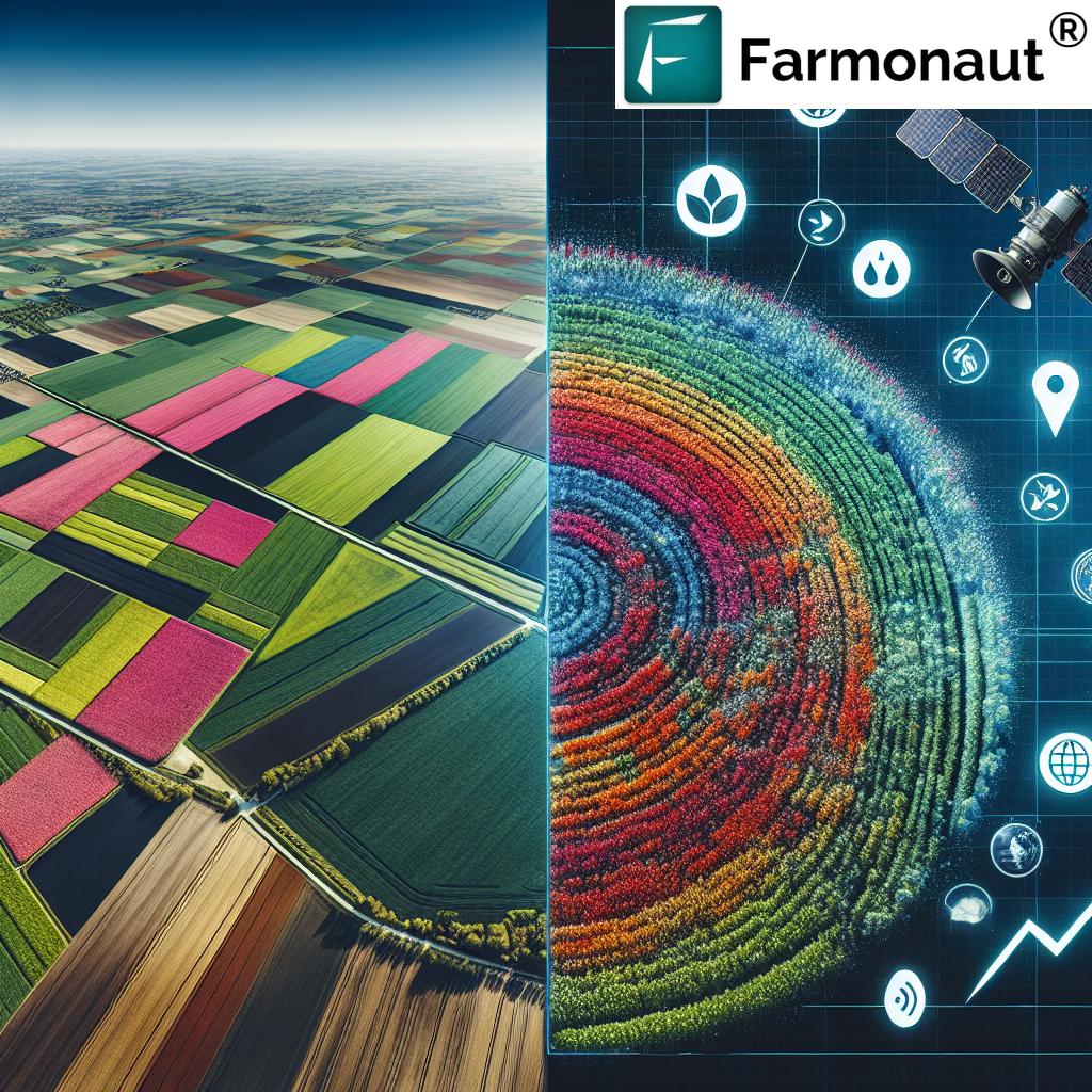
Revolutionizing Agriculture: How Farmonaut’s Satellite Crop Monitoring Enhances Precision Farming in Europe
“Sentinel satellites provide daily field observations for over 100 million hectares of farmland in Europe.”
In the ever-evolving landscape of agriculture, we are witnessing a technological revolution that is transforming the way we cultivate our crops and manage our fields. At the forefront of this revolution is satellite crop monitoring, a groundbreaking approach that is reshaping precision farming across Europe and beyond. As representatives of Farmonaut, we are excited to delve into the world of space-based agricultural solutions and explore how our innovative technology is enhancing sustainable farming practices and crop health assessment.
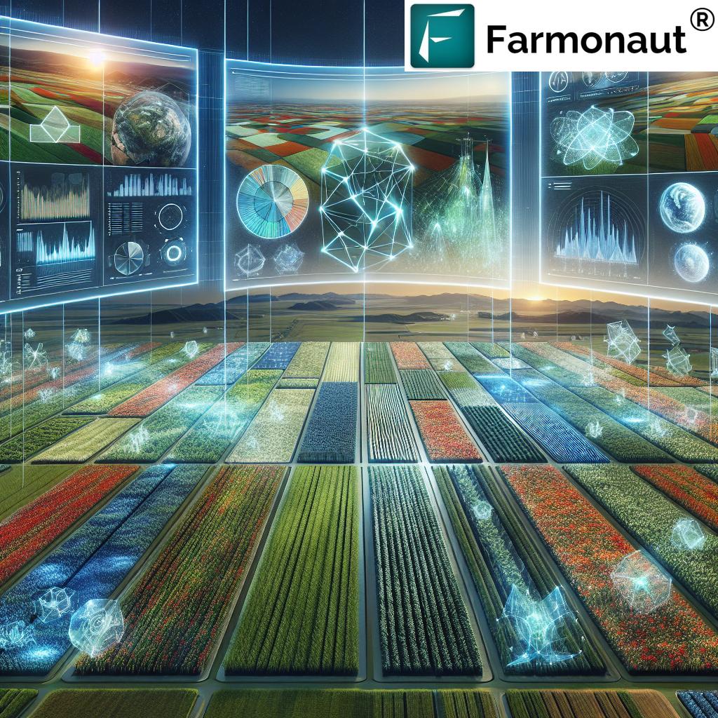
Precision farming technology has come a long way, and with the integration of satellite data in agriculture, we are entering a new era of informed decision-making and resource optimization. In this comprehensive blog post, we’ll explore how Farmonaut harnesses the power of Sentinel satellites for comprehensive agricultural field monitoring, offering farmers unprecedented insights into their crops and land.
The Rise of Satellite Crop Monitoring in Europe
Europe has been at the forefront of embracing satellite technology for agricultural applications. The European Space Agency (ESA) and the European Commission have played pivotal roles in developing and launching the Copernicus programme, which includes the Sentinel satellites. These Earth observation missions have become invaluable assets for precision agriculture satellite imagery.
Farmonaut leverages the data from these Sentinel satellites to provide cutting-edge agricultural technology solutions. Our platform processes vast amounts of satellite data to deliver actionable insights to farmers across the continent. From the rolling fields of France to the vast plains of Eastern Europe, our technology is helping to optimize crop yields and promote sustainable farming practices.

How Satellite Crop Monitoring Works
Satellite crop monitoring is a complex process that involves several key steps:
- Data Acquisition: Sentinel satellites orbit the Earth, capturing high-resolution images of agricultural areas.
- Data Processing: Raw satellite data is processed using advanced algorithms to extract meaningful information.
- Analysis: Vegetation indices and other metrics are calculated to assess crop health and field conditions.
- Interpretation: AI and machine learning models interpret the data to provide actionable insights.
- Delivery: Farmers receive easy-to-understand reports and recommendations through our platform.
At Farmonaut, we’ve refined this process to ensure that our users receive the most accurate and timely information possible. Our platform is designed to make complex satellite data accessible and useful for farmers of all technical backgrounds.
The Power of Sentinel Satellites for Farming
The Sentinel satellites, part of the Copernicus programme, are a game-changer for precision agriculture. These advanced Earth observation missions provide a wealth of data that is crucial for modern farming practices:
- Sentinel-1: Provides all-weather, day-and-night radar imagery for land and ocean services.
- Sentinel-2: Offers high-resolution optical imagery for land services, including vegetation, soil, and water cover monitoring.
- Sentinel-3: Delivers ocean and land observation data, including sea-surface topography and land-surface temperature.
Farmonaut primarily utilizes data from Sentinel-2 for our agricultural field monitoring services. These satellites provide imagery with a resolution of up to 10 meters, allowing for detailed analysis of crop health and field conditions.
Enhancing Precision Farming with Satellite Data
Precision farming technology has revolutionized agriculture, and satellite crop monitoring is taking it to new heights. Here’s how Farmonaut’s satellite-based solutions are enhancing precision farming:
- Accurate Vegetation Indices: We calculate various vegetation indices, such as NDVI (Normalized Difference Vegetation Index), to provide precise measurements of crop health and vigor.
- Soil Moisture Monitoring: By analyzing satellite data, we can estimate soil moisture levels, helping farmers optimize irrigation practices.
- Early Stress Detection: Our technology can identify signs of crop stress before they become visible to the naked eye, allowing for early intervention.
- Yield Prediction: By analyzing historical data and current crop conditions, we can provide accurate yield predictions to help with planning and resource allocation.
These capabilities enable farmers to make data-driven decisions that can significantly improve crop yields while reducing resource waste.
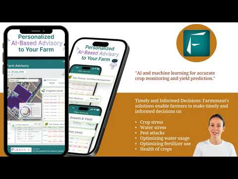
Explore our Android app for on-the-go field monitoring:
Sustainable Farming Practices Through Remote Sensing
Sustainability is at the heart of modern agriculture, and remote sensing in agriculture plays a crucial role in promoting environmentally friendly farming practices. Farmonaut’s satellite crop monitoring technology contributes to sustainability in several ways:
- Optimized Resource Use: By providing precise information on crop needs, we help farmers apply water, fertilizers, and pesticides only where and when they’re needed.
- Reduced Environmental Impact: More efficient use of resources leads to less runoff and reduced environmental pollution.
- Conservation of Biodiversity: Our technology can help identify and protect sensitive areas within agricultural landscapes.
- Carbon Footprint Reduction: By optimizing farm operations, we contribute to reducing the overall carbon footprint of agricultural activities.
Through these efforts, we’re not just helping farmers improve their yields; we’re also contributing to the long-term health of our planet.
“Farmonaut’s satellite crop monitoring technology can process data from up to 13 spectral bands for precise vegetation analysis.”
Advanced Satellite Data Processing for Agriculture
At the core of Farmonaut’s technology is our advanced satellite data processing capabilities. We don’t just provide raw data; we transform it into meaningful insights that farmers can act on. Here’s a glimpse into our processing techniques:
- Multi-Spectral Analysis: We analyze data from multiple spectral bands to gain a comprehensive understanding of crop health and field conditions.
- Time Series Analysis: By comparing images over time, we can track changes and identify trends in crop development.
- Machine Learning Algorithms: Our AI-powered algorithms continuously learn and improve, providing increasingly accurate insights over time.
- Cloud Detection and Removal: We use sophisticated techniques to minimize the impact of cloud cover on our analyses.
These advanced processing methods ensure that our users receive the most accurate and up-to-date information possible.
Daily Field Observations: A Game-Changer for Farmers
One of the most significant advantages of satellite crop monitoring is the ability to provide daily field observations. This frequent data collection allows for:
- Rapid Response to Changes: Farmers can quickly identify and respond to changes in crop health or field conditions.
- Detailed Crop Development Tracking: Daily updates enable precise monitoring of crop growth stages.
- Timely Decision-Making: With up-to-date information, farmers can make timely decisions on irrigation, fertilization, and pest control.
- Historical Data Analysis: Accumulating daily data over time provides valuable insights for long-term planning and analysis.
Farmonaut’s platform makes accessing and interpreting this daily data simple and intuitive, empowering farmers to stay on top of their field conditions at all times.
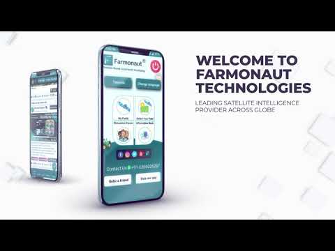
Access our web application for comprehensive field monitoring:
Crop Health Assessment: A Key to Successful Farming
Accurate crop health assessment is crucial for maximizing yields and minimizing losses. Farmonaut’s satellite-based technology offers several advantages in this area:
- Early Detection of Issues: Our system can identify potential problems before they become visible to the naked eye.
- Comprehensive Health Metrics: We provide a range of vegetation indices that offer a holistic view of crop health.
- Comparison with Historical Data: Farmers can compare current crop health with previous seasons to identify patterns and anomalies.
- Customized Alerts: Our platform can send alerts when crop health metrics fall outside of expected ranges.
By providing these detailed insights, we enable farmers to take proactive measures to maintain optimal crop health throughout the growing season.

Global Applications of Satellite Crop Monitoring
While our focus in this article is on Europe, it’s important to note that the applications of satellite crop monitoring extend globally. Farmonaut’s technology is adaptable to various agricultural landscapes and climates, making it valuable for farmers around the world. Some global applications include:
- Drought Monitoring in Arid Regions: Satellite data can help track water stress in crops in water-scarce areas.
- Tropical Crop Management: In regions with dense cloud cover, radar satellites can provide valuable insights.
- Large-Scale Crop Mapping: Governments and organizations can use satellite data for national or regional crop mapping and yield estimation.
- Climate Change Impact Assessment: Long-term satellite data can help track the effects of climate change on agriculture.
As we continue to refine our technology, we’re excited about the potential to support sustainable agriculture on a global scale.
The Future of Farming: Integrating Space Technology and Agriculture
As we look to the future, the integration of space technology and agriculture is set to deepen further. Some exciting developments on the horizon include:
- Higher Resolution Imagery: Future satellites may provide even more detailed images, allowing for plant-level analysis.
- Integration with IoT Devices: Combining satellite data with ground-based sensors will provide an even more comprehensive view of field conditions.
- Advanced AI and Machine Learning: Improved algorithms will offer even more accurate predictions and insights.
- Hyperspectral Imaging: This technology could provide even more detailed information about crop health and soil conditions.
At Farmonaut, we’re committed to staying at the forefront of these technological advancements, ensuring that our users always have access to the most cutting-edge agricultural solutions.
Try our iOS app for mobile field monitoring:
Leveraging Satellite Imagery for Informed Decision-Making
One of the key benefits of satellite crop monitoring is its ability to support informed decision-making in farming operations. Here’s how Farmonaut helps farmers make better decisions:
- Data-Driven Insights: Our platform provides objective, data-based information to guide farming decisions.
- Comparative Analysis: Farmers can compare different fields or different areas within a field to identify best practices.
- Trend Analysis: By analyzing data over time, farmers can identify long-term trends and adjust their strategies accordingly.
- Risk Assessment: Satellite data can help identify potential risks, allowing for preemptive action.
By providing these powerful decision-support tools, we’re helping farmers optimize their operations and increase their profitability.
Comparison: Satellite Crop Monitoring vs. Traditional Farming Methods
| Aspect | Satellite Crop Monitoring | Traditional Farming Methods |
|---|---|---|
| Data Collection Frequency | Daily observations | Weekly or monthly |
| Precision Level | Centimeter-level accuracy | Meter-level accuracy |
| Resource Efficiency | Highly optimized resource use | Variable efficiency |
| Crop Health Assessment | Comprehensive, data-driven analysis | Visual inspection, potentially subjective |
| Environmental Impact | Reduced due to precise management | Potentially higher due to over-application |
| Cost-Effectiveness | High initial investment, long-term savings | Lower initial costs, potentially higher ongoing expenses |
Farmonaut’s Commitment to Accessible Precision Agriculture
At Farmonaut, we believe that the benefits of precision agriculture should be accessible to all farmers, regardless of the size of their operations. That’s why we’ve designed our platform to be:
- User-Friendly: Our interface is intuitive and easy to navigate, even for those with limited technical experience.
- Scalable: Our solutions can be applied to small family farms as well as large agricultural enterprises.
- Affordable: We offer flexible pricing options to ensure that our technology is accessible to a wide range of users.
- Customizable: Our platform can be tailored to meet the specific needs of different crops and regions.
By making precision agriculture more accessible, we’re helping to level the playing field and promote sustainable farming practices across the industry.
Farmonaut Subscriptions
Frequently Asked Questions
Q: How often is satellite data updated on Farmonaut’s platform?
A: We provide daily updates for most regions, weather permitting. Cloud cover can occasionally affect data availability.
Q: Can Farmonaut’s technology be used for all types of crops?
A: Yes, our technology is adaptable to a wide range of crops. However, the level of detail and accuracy may vary depending on the specific crop and field conditions.
Q: Is internet connectivity required to use Farmonaut’s services?
A: Internet connectivity is required to access our web and mobile applications. However, we’re working on solutions for areas with limited connectivity.
Q: How does Farmonaut ensure the security of farmers’ data?
A: We take data security very seriously. All data is encrypted and stored securely, and we adhere to strict privacy policies to protect our users’ information.
Q: Can Farmonaut’s technology integrate with other farm management systems?
A: Yes, we offer API access for integration with other systems. For more information, please visit our API Developer Docs.
Conclusion: Embracing the Future of Agriculture
As we’ve explored in this blog post, satellite crop monitoring and precision farming technology are truly revolutionizing agriculture in Europe and beyond. At Farmonaut, we’re proud to be at the forefront of this technological revolution, providing farmers with the tools they need to optimize their operations, increase their yields, and promote sustainable farming practices.
From daily field observations to advanced crop health assessments, our satellite-based solutions are helping farmers make more informed decisions and achieve better results. As we look to the future, we’re excited about the continued integration of space technology and agriculture, and the potential it holds for feeding our growing global population while preserving our planet’s resources.
We invite you to join us on this journey towards a more efficient, sustainable, and productive agricultural future. Explore our platform, try our mobile apps, and experience the power of satellite crop monitoring for yourself. Together, we can revolutionize agriculture and build a brighter future for farmers and consumers alike.
Ready to revolutionize your farming practices? Visit our API page to learn more about integrating our powerful satellite data into your existing systems.


