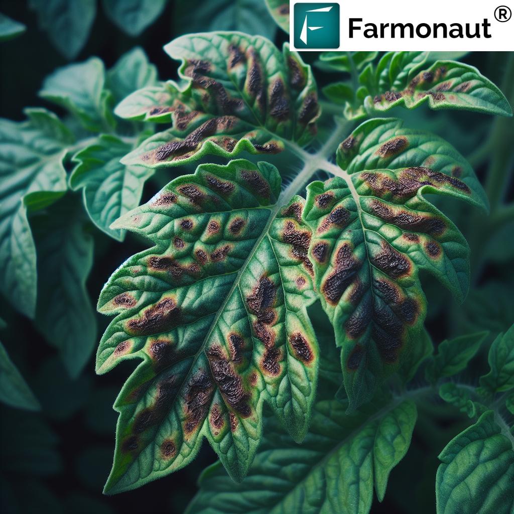
Unlocking Precision Agriculture: How Farmonaut’s Satellite Imagery Revolutionizes Crop Monitoring and Research
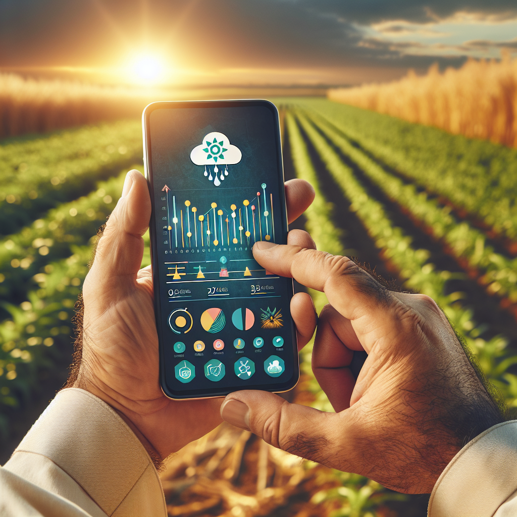
“Farmonaut’s satellite imagery enables real-time monitoring of crop health across thousands of acres simultaneously.”
In the ever-evolving landscape of modern agriculture, we at Farmonaut are proud to be at the forefront of a technological revolution that is transforming the way we approach farming, research, and environmental stewardship. Our cutting-edge satellite imagery and remote sensing technologies are not just tools; they are gateways to a new era of precision agriculture and comprehensive environmental monitoring.
As we delve into the world of satellite-based crop monitoring and its myriad applications in agricultural research, we invite you to explore the transformative power of geospatial intelligence in shaping sustainable farming practices, enhancing crop productivity, and addressing the pressing challenges of climate change.
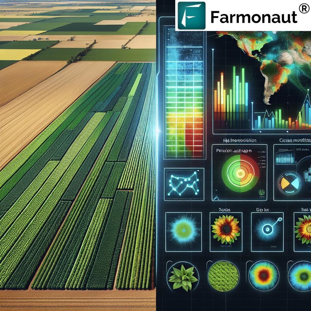
The Revolution of Satellite Imagery in Agriculture
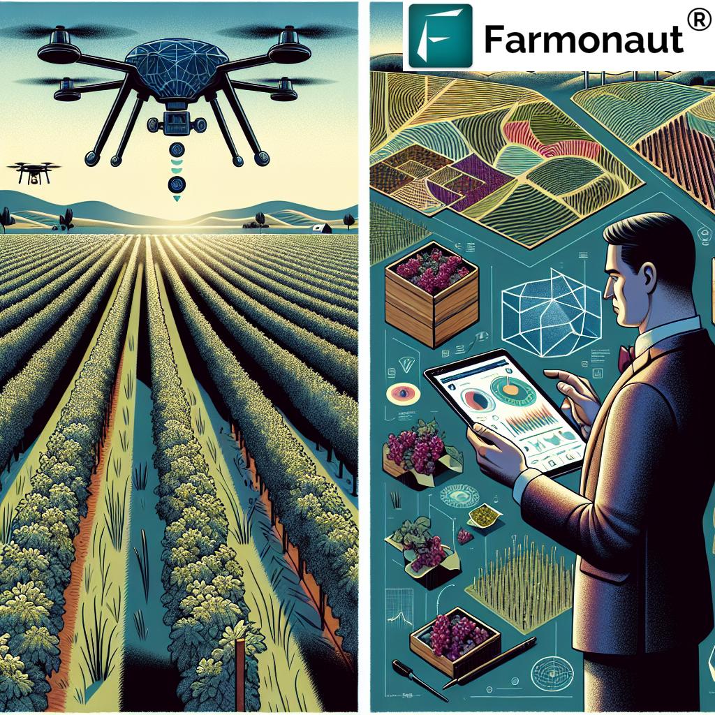
Satellite imagery for agriculture has emerged as a game-changer in the realm of precision farming. By harnessing the power of remote sensing in farming, we’ve opened up new avenues for crop monitoring from space, providing unparalleled insights into agricultural landscapes across the globe.
- Real-time crop health assessment
- Precision agriculture technology at your fingertips
- GIS in agricultural research for data-driven decision making
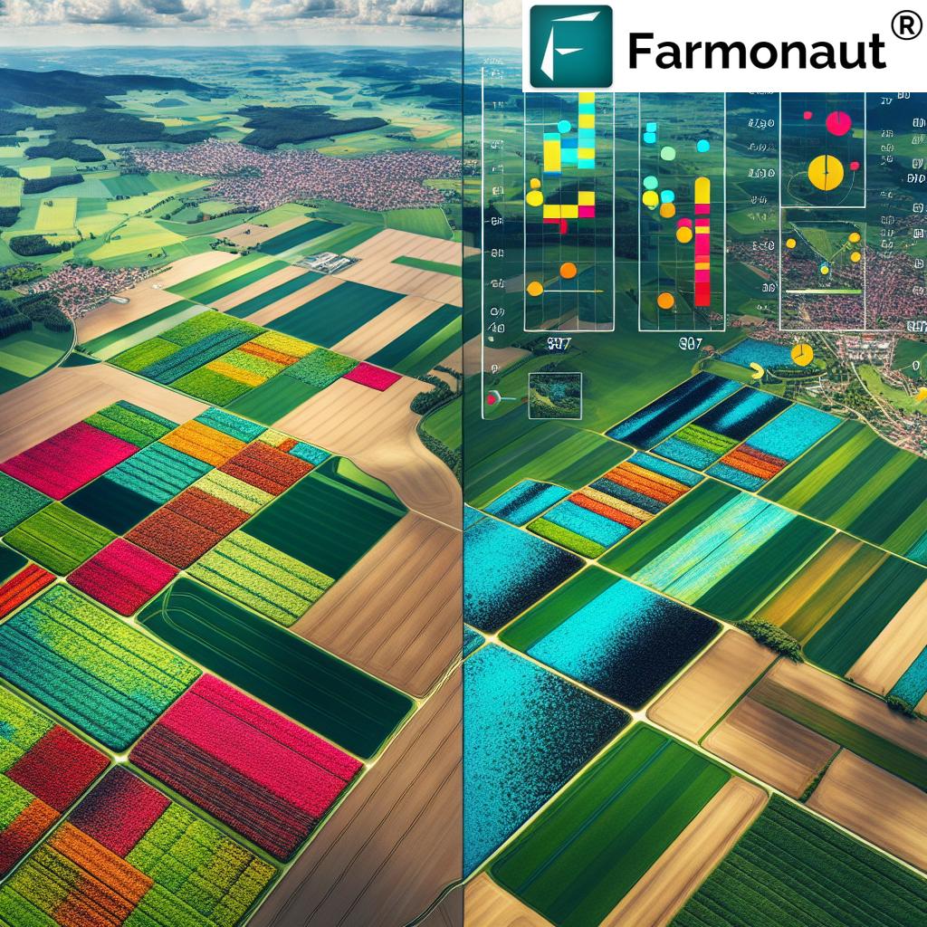
Our satellite-based solutions offer a bird’s-eye view of vast agricultural territories, enabling farmers, researchers, and policymakers to make informed decisions based on comprehensive, up-to-date data.
Farmonaut’s Innovative Approach to Precision Agriculture
At Farmonaut, we’ve developed a suite of tools that bring the power of satellite technology directly to the fields. Our platform integrates advanced analytics with user-friendly interfaces, making precision agriculture accessible to farmers and researchers alike.
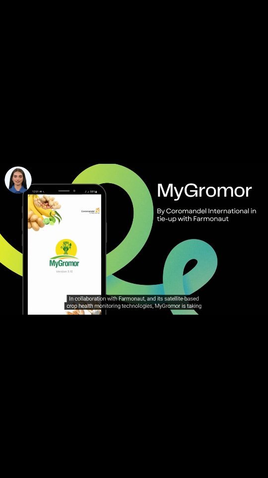
Our commitment to innovation extends to our mobile applications, ensuring that vital agricultural insights are always at your fingertips:
Empowering Research and Education
Our platform is not just for farmers; it’s a powerful tool for researchers, students, and faculty in agricultural sciences. We provide access to high-resolution satellite data that can revolutionize agricultural research and education.
- Comprehensive datasets for in-depth studies
- Real-world applications for classroom learning
- Collaborative tools for global research projects
By integrating our satellite imagery into educational curricula, we’re helping to train the next generation of agricultural experts and environmental scientists.
Monitoring Environmental Changes and Urban Growth
Beyond agriculture, our satellite data provides valuable insights into urban growth monitoring and land use changes. This information is crucial for:
- Urban planners studying city expansion
- Environmentalists tracking deforestation
- Policymakers assessing infrastructure needs
Our technology enables comprehensive analysis of how human activities impact our environment, supporting sustainable development initiatives worldwide.
Climate Change Impact on Crops: A Data-Driven Approach
Understanding the climate change impact on crops is crucial for global food security. Our satellite imagery provides researchers with the tools to:
- Analyze long-term climate trends
- Assess crop resilience to changing conditions
- Develop adaptation strategies for farmers
By leveraging our data, scientists can model future scenarios and help agriculture adapt to a changing world.
Agricultural Productivity Analysis: From Space to Field
Our platform excels in agricultural productivity analysis, offering insights that were previously unattainable. With Farmonaut’s technology, users can:
- Compare crop yields across regions
- Identify factors influencing productivity
- Optimize resource allocation for maximum output
This level of analysis empowers farmers to make data-driven decisions that can significantly improve their yields and profitability.
“Satellite-based precision agriculture can potentially increase crop yields by up to 20% while reducing water usage by 30%.”
Leveraging GIS in Agricultural Research
Geographic Information Systems (GIS) have become indispensable in modern agricultural research. Our platform integrates advanced GIS capabilities, allowing researchers to:
- Create detailed maps of agricultural regions
- Analyze spatial patterns in crop health and yield
- Combine satellite data with ground-level observations
This integration of GIS in agricultural research opens up new possibilities for understanding complex agricultural ecosystems and developing targeted solutions.
Real-Time Crop Health Assessment: A Game-Changer
One of the most powerful features of our platform is the ability to perform real-time crop health assessment. This capability allows:
- Early detection of crop stress and diseases
- Timely intervention to prevent yield losses
- Optimized use of resources like water and fertilizers
By providing up-to-date information on crop health, we empower farmers to make proactive decisions that can significantly impact their harvest outcomes.
Satellite Data for Environmental Monitoring
Our satellite data isn’t just for agriculture; it’s a powerful tool for comprehensive environmental monitoring. Researchers and environmental agencies use our data to:
- Track changes in ecosystems over time
- Monitor the health of forests and wetlands
- Assess the impact of conservation efforts
This broad application of satellite data for environmental monitoring supports global efforts in conservation and sustainable resource management.
Empowering Decision-Making in Agriculture and Beyond
The insights provided by our satellite imagery and analytics empower decision-makers across various sectors:
- Farmers can optimize their farming practices
- Policymakers can develop informed agricultural policies
- Researchers can conduct large-scale studies with unprecedented data access
By democratizing access to this powerful technology, we’re fostering innovation and sustainability in agriculture and environmental management.
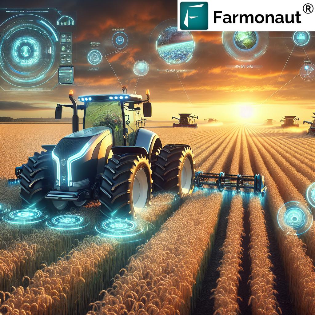
The Future of Smart Farming with Farmonaut
As we look to the future, the potential of smart farming powered by satellite technology is boundless. Farmonaut is committed to:
- Continuous improvement of our satellite imagery resolution
- Development of AI-driven predictive models for agriculture
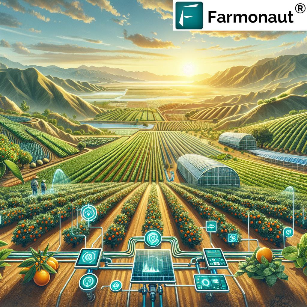
- Integration of IoT devices with satellite data for comprehensive farm management
We believe that by pushing the boundaries of what’s possible with satellite technology, we can help create a more sustainable and productive agricultural future.
Satellite Imagery Applications in Agriculture and Research
| Application Area | Benefits | Estimated Impact |
|---|---|---|
| Crop Health Monitoring | Early detection of crop stress and diseases | Up to 20% increase in crop yield |
| Urban Growth Analysis | Tracking city expansion and land use changes | Analysis of 10,000+ km² of urban areas annually |
| Land Use Change Detection | Monitoring deforestation and agricultural expansion | Identification of 95% of land use changes |
| Agricultural Productivity Assessment | Optimizing resource allocation and farming practices | 15-30% improvement in resource efficiency |
| Disaster Management | Rapid assessment of crop damage after natural disasters | Response time reduced by 50% in affected areas |
Harnessing the Power of APIs for Custom Solutions
For those looking to integrate our powerful satellite imagery and analytics into their own systems, we offer robust API solutions:
Explore our API: Farmonaut API
Access our API Developer Docs: API Documentation
Our APIs enable developers and businesses to create custom applications tailored to specific agricultural and environmental monitoring needs.
Farmonaut Subscriptions: Tailored Solutions for Every Need
We offer a range of subscription options to suit various needs and scales of operation:
Frequently Asked Questions
Q: How often is the satellite imagery updated?
A: Our imagery is updated daily, providing near real-time insights into crop conditions and environmental changes.
Q: Can Farmonaut’s technology be used for small-scale farms?
A: Absolutely! Our solutions are scalable and can benefit farms of all sizes, from small holdings to large agricultural operations.
Q: How accurate is the satellite-based crop health assessment?
A: Our crop health assessments have an accuracy rate of over 90%, validated through extensive ground-truthing and machine learning algorithms.
Q: Is training provided for using Farmonaut’s platform?
A: Yes, we offer comprehensive training resources, including video tutorials, user guides, and webinars to help users make the most of our technology.
Q: Can Farmonaut’s data be integrated with other farm management software?
A: Yes, our API allows for seamless integration with various farm management systems, enhancing their capabilities with our satellite-derived insights.
Conclusion: Embracing the Future of Agriculture
As we navigate the challenges of feeding a growing global population while preserving our planet’s resources, the role of advanced technologies like satellite imagery and remote sensing in farming becomes increasingly crucial. At Farmonaut, we’re proud to be at the forefront of this agricultural revolution, providing tools that empower farmers, researchers, and policymakers to make informed decisions for a sustainable future.
From real-time crop monitoring to comprehensive environmental analysis, our platform offers unparalleled insights that are shaping the future of smart farming. We invite you to join us in this journey towards more efficient, productive, and sustainable agriculture. Whether you’re a farmer looking to optimize your yields, a researcher seeking to understand complex agricultural ecosystems, or a policymaker aiming to support sustainable farming practices, Farmonaut has the tools and data you need to succeed.
Embrace the power of satellite technology in agriculture. Join Farmonaut today and be part of the future of farming.


