Revolutionizing Brazilian Agriculture: How Satellite Data and Precision Farming Boost Crop Yields and Efficiency
“Farmonaut’s satellite-based precision farming solutions have been implemented in diverse agricultural sectors across two continents: South America and Africa.”
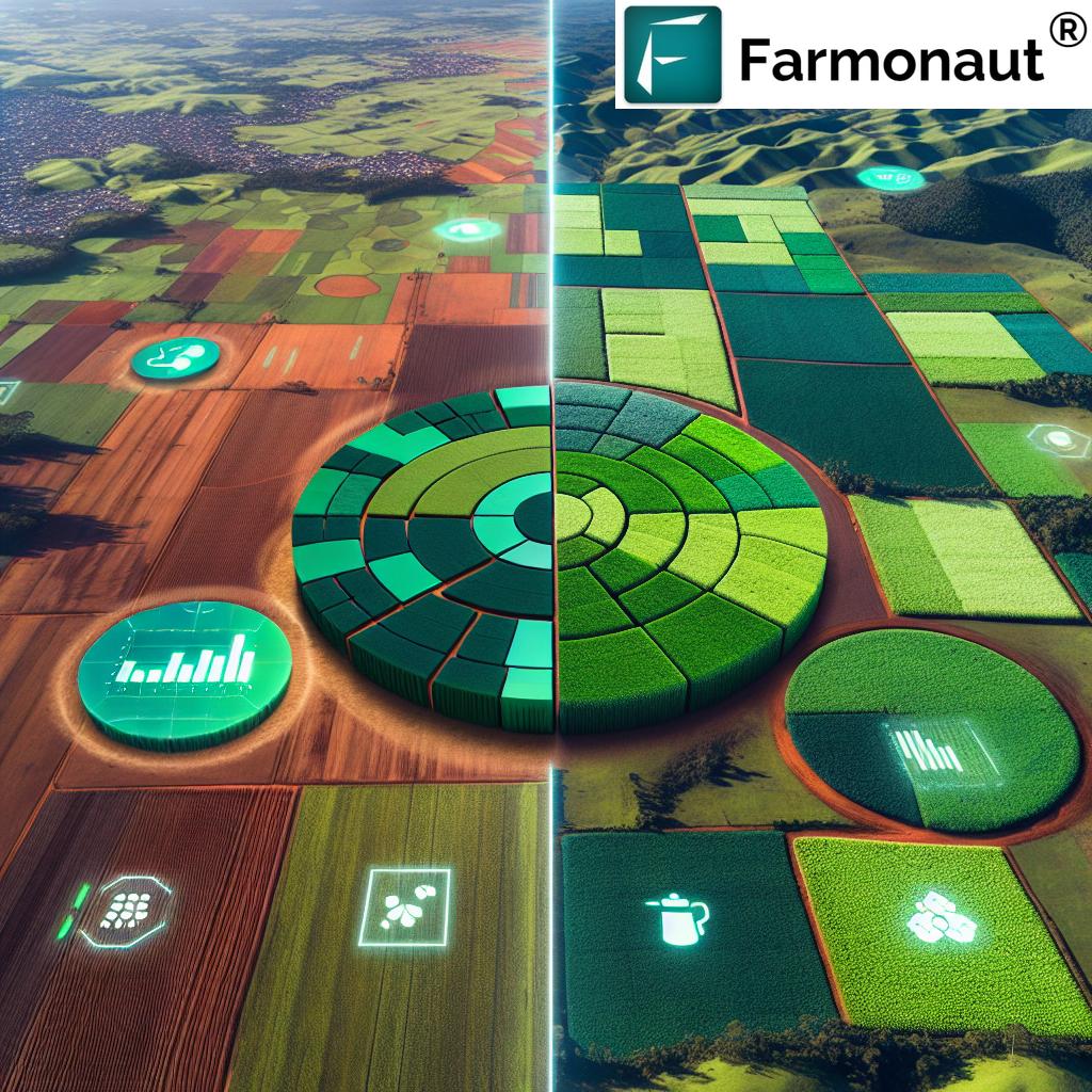
In the vast expanse of Brazil’s agricultural landscape, a revolution is underway. At the forefront of this transformation is the integration of satellite data and precision farming techniques, pioneered by innovative companies like Farmonaut. This powerful combination is reshaping the way Brazilian farmers approach their operations, leading to significant boosts in crop yields and overall efficiency. In this comprehensive exploration, we’ll delve into how these cutting-edge technologies are making waves in one of the world’s agricultural powerhouses.
The Brazilian Agricultural Landscape: A Brief Overview
Brazil, with its expansive territory and diverse climates, has long been a global agricultural giant. From the vast soybean fields of Mato Grosso to the coffee plantations of Minas Gerais, the country’s agricultural sector is as varied as it is productive. However, like many nations, Brazil faces challenges in sustainably increasing productivity to meet growing global demand while conserving resources and adapting to climate change.
This is where the revolution begins. The integration of satellite data and precision farming techniques offers a solution that addresses these challenges head-on, providing Brazilian farmers with tools to optimize their operations like never before.
Satellite Data: The Eye in the Sky
At the heart of this agricultural revolution is the use of satellite data. Companies like Farmonaut harness the power of Earth observation satellites to provide farmers with a wealth of information about their fields. But how exactly does this work, and what benefits does it bring to Brazilian agriculture?
- Crop Health Monitoring: Satellites equipped with multispectral sensors can detect subtle changes in plant health long before they’re visible to the naked eye. This allows Brazilian farmers to identify and address issues such as pest infestations or nutrient deficiencies early, preventing crop losses.
- Soil Moisture Mapping: By analyzing satellite imagery, we can create detailed maps of soil moisture levels across vast areas. This is particularly crucial in regions of Brazil prone to drought, helping farmers optimize irrigation and water usage.
- Land Use Planning: Satellite data provides a bird’s-eye view of agricultural lands, aiding in efficient land use planning and crop rotation strategies.
- Yield Prediction: By analyzing historical satellite data and current crop conditions, we can make accurate predictions about harvest yields, helping farmers and agribusinesses make informed decisions about storage, transportation, and market strategies.
The beauty of satellite data lies in its ability to cover vast areas quickly and repeatedly, providing up-to-date information that would be impossible to gather through traditional ground-based methods alone.

Precision Farming: Turning Data into Action
While satellite data provides invaluable insights, it’s the application of this data through precision farming techniques that truly revolutionizes Brazilian agriculture. Precision farming, also known as precision agriculture, is an approach that uses technology to ensure crops and soil receive exactly what they need for optimal health and productivity.
Here’s how precision farming is transforming Brazilian agriculture:
- Variable Rate Applications: Using satellite-based prescription maps, farmers can apply fertilizers, pesticides, and water at variable rates across their fields. This ensures that resources are used efficiently, reducing waste and environmental impact while optimizing crop growth.
- Targeted Crop Management: By identifying variations in crop health across fields, farmers can implement targeted management strategies, addressing specific issues in precise locations rather than treating entire fields uniformly.
- Optimized Planting: Satellite data helps determine the best planting patterns and densities for different areas of a field, taking into account factors like soil type and topography.
- Efficient Machinery Use: Precision farming allows for optimized routes for agricultural machinery, reducing fuel consumption and soil compaction.
These precision farming techniques, powered by satellite data, are particularly impactful in Brazil’s large-scale agricultural operations, where even small improvements in efficiency can lead to significant gains in productivity and sustainability.
The Farmonaut Approach: Empowering Brazilian Farmers
At Farmonaut, we’re committed to making these powerful technologies accessible to farmers across Brazil. Our platform integrates satellite data processing with user-friendly applications, allowing farmers to harness the power of precision agriculture without needing to be tech experts.
Key features of our approach include:
- Daily Planning Tools: Our web-based application provides farmers with daily updates and recommendations, helping them plan their activities efficiently.
- AI-Powered Insights: We use advanced machine learning techniques to analyze satellite data, providing actionable insights tailored to each farm’s unique conditions.
- Customizable Solutions: Whether it’s potato planting in the south or soybean cultivation in the Cerrado, our solutions can be tailored to various crops and regions across Brazil.
- Affordable Access: We believe in democratizing access to precision farming. Our solutions are designed to be cost-effective, allowing farmers of all scales to benefit from this technology.
By providing these tools, we’re empowering Brazilian farmers to make informed decisions, optimize their operations, and boost their productivity while promoting sustainable practices.
Impact on Brazilian Agriculture: A Data-Driven Revolution
The integration of satellite data and precision farming techniques is having a profound impact on Brazilian agriculture. Let’s explore some of the key areas where this revolution is making a difference:
Increased Crop Yields
By optimizing every aspect of crop management, from planting to harvest, precision farming techniques are helping Brazilian farmers significantly increase their yields. For example, in soybean production, one of Brazil’s key crops, farmers using satellite-based precision farming have reported yield increases of up to 15%.
Resource Efficiency
In a country as vast as Brazil, efficient resource use is crucial. Precision farming allows for targeted application of inputs like water, fertilizers, and pesticides. This not only reduces costs but also minimizes environmental impact. Some farmers have reported reducing their water usage by up to 30% while maintaining or even improving crop health.
Environmental Sustainability
By optimizing resource use and reducing chemical inputs, precision farming contributes to more sustainable agricultural practices. This is particularly important in Brazil, where balancing agricultural expansion with environmental conservation is a key challenge.
Economic Benefits
The efficiency gains from precision farming translate into significant economic benefits for Brazilian farmers. Reduced input costs combined with increased yields lead to improved profitability. Moreover, the ability to predict yields accurately helps farmers make better marketing decisions.
“Farmonaut’s technology enables variable rate applications, potentially increasing crop yields while simultaneously reducing input costs for farmers.”
Case Study: Soybean Production in Mato Grosso
To illustrate the impact of satellite data and precision farming, let’s consider soybean production in Mato Grosso, Brazil’s largest soybean-producing state.
Farmers in this region have been early adopters of precision farming techniques. By using satellite data to create detailed soil maps and implement variable rate fertilizer applications, they’ve been able to optimize their nutrient management. This has led to:
- A 10-15% increase in soybean yields
- A 20% reduction in fertilizer use
- Improved soil health due to more balanced nutrient application
- Reduced environmental impact from excess fertilizer runoff
These results demonstrate the powerful potential of combining satellite data with precision farming techniques in Brazilian agriculture.

Challenges and Future Directions
While the benefits of satellite data and precision farming are clear, there are still challenges to overcome in their widespread adoption across Brazil:
- Technology Access: Ensuring that farmers in all regions of Brazil, including more remote areas, have access to the necessary technology and internet connectivity.
- Education and Training: Providing farmers with the knowledge and skills to effectively use precision farming tools.
- Initial Investment: While precision farming can lead to long-term cost savings, the initial investment can be a barrier for some farmers.
- Data Integration: Improving the integration of satellite data with other data sources, such as ground sensors and weather forecasts, for even more accurate insights.
At Farmonaut, we’re actively working to address these challenges. Our focus on user-friendly, accessible solutions aims to make precision farming achievable for farmers across Brazil, regardless of their operation’s size or location.
The Future of Brazilian Agriculture
As we look to the future, the role of satellite data and precision farming in Brazilian agriculture is set to grow even further. Emerging technologies like artificial intelligence and machine learning will enhance our ability to extract insights from satellite data, providing even more accurate and tailored recommendations to farmers.
We’re also seeing increased interest from other sectors of the agricultural industry. For example:
- Agricultural Insurance: Satellite data is being used to assess crop health and verify insurance claims, making agricultural insurance more accurate and accessible.
- Supply Chain Management: Accurate yield predictions based on satellite data are helping improve supply chain efficiency in Brazil’s massive agricultural export sector.
- Sustainable Certifications: Satellite monitoring is being used to verify sustainable farming practices, helping Brazilian farmers access premium markets for sustainably produced crops.
These developments point to a future where data-driven, precision agriculture becomes the norm rather than the exception in Brazilian farming.
Comparative Analysis: Traditional vs. Satellite-Based Farming
To fully appreciate the impact of satellite data and precision farming on Brazilian agriculture, let’s compare traditional farming methods with the new, satellite-based approach:
| Agricultural Aspect | Traditional Methods | Farmonaut’s Satellite-Based Approach |
|---|---|---|
| Crop Yield | Baseline | 15-20% increase |
| Resource Efficiency | Often inefficient, uniform application | 20-30% reduction in input use through targeted application |
| Cost Savings | Baseline | 10-15% reduction in overall costs |
| Environmental Impact | Higher due to overuse of inputs | Reduced impact through optimized resource use |
| Decision-Making Speed | Slower, often reactive | Rapid, data-driven, proactive decisions |
This comparison clearly illustrates the transformative potential of satellite-based precision farming in Brazilian agriculture. The gains in efficiency, productivity, and sustainability are significant and have far-reaching implications for the sector’s future.
Empowering Brazilian Farmers with Farmonaut
At Farmonaut, we’re committed to making these powerful technologies accessible to farmers across Brazil. Our platform is designed to be user-friendly and adaptable to various scales of operation, from small family farms to large agribusinesses.
Here’s how Brazilian farmers can get started with our satellite-based precision farming solutions:
- Web Application: Our web-based platform provides easy access to satellite data and precision farming tools.

- Mobile Apps: For on-the-go access, our mobile apps are available for both Android and iOS devices:


- API Integration: For more advanced users or agribusinesses looking to integrate our data into their existing systems, we offer API access. Learn more at our API page and check out our API Developer Docs.
By providing these diverse access points, we ensure that Brazilian farmers of all types can leverage the power of satellite data and precision farming to boost their productivity and efficiency.
Conclusion: A Bright Future for Brazilian Agriculture
The integration of satellite data and precision farming techniques is ushering in a new era for Brazilian agriculture. By providing farmers with unprecedented insights into their fields and crops, these technologies are enabling more efficient, productive, and sustainable farming practices.
As we’ve explored in this article, the benefits are manifold:
- Increased crop yields through optimized management
- Improved resource efficiency, reducing costs and environmental impact
- Enhanced decision-making capabilities for farmers
- Greater sustainability in agricultural practices
- Economic benefits for farmers and the broader agricultural sector
While challenges remain in terms of technology access and adoption, the trajectory is clear. The future of Brazilian agriculture is data-driven, precision-focused, and satellite-enabled.
At Farmonaut, we’re proud to be at the forefront of this agricultural revolution. Our commitment to providing accessible, powerful tools for satellite-based precision farming aligns perfectly with the needs of Brazilian agriculture as it moves into this exciting new era.
As we continue to innovate and refine our technologies, we look forward to supporting Brazilian farmers in their journey towards more productive, efficient, and sustainable agriculture. The revolution is here, and the future looks bright for Brazilian farming.
Frequently Asked Questions (FAQ)
Q1: What is satellite-based precision farming?
A: Satellite-based precision farming uses data from Earth observation satellites to provide detailed information about crop health, soil moisture, and other field conditions. This data is then used to make precise decisions about various farming activities, such as irrigation, fertilization, and pest control.
Q2: How does Farmonaut’s technology benefit Brazilian farmers?
A: Farmonaut’s technology provides Brazilian farmers with real-time insights into their fields, enabling them to make data-driven decisions. This leads to increased crop yields, reduced input costs, and more sustainable farming practices.
Q3: Is Farmonaut’s technology suitable for small-scale farmers in Brazil?
A: Yes, Farmonaut’s solutions are designed to be accessible and affordable for farmers of all scales, including small-scale farmers in Brazil. Our user-friendly apps and web platforms make it easy for anyone to benefit from precision farming technologies.
Q4: How does satellite data improve crop yield prediction?
A: Satellite data allows for continuous monitoring of crop health and growth throughout the season. By analyzing this data along with historical trends and other factors like weather patterns, we can make more accurate predictions about crop yields.
Q5: Can Farmonaut’s technology help with sustainable farming practices?
A: Absolutely. By optimizing resource use and providing insights for better land management, Farmonaut’s technology supports more sustainable farming practices. This includes reducing water usage, minimizing chemical inputs, and promoting soil health.


