Revolutionizing Alaska’s Agriculture: Farmonaut’s Satellite-Powered Precision Farming Solutions for Sustainable Crop Monitoring
“Farmonaut’s satellite imagery can reduce traditional inspection costs by up to 70% for government agencies monitoring agricultural compliance.”
In the vast expanse of Alaska, where agriculture faces unique challenges due to its harsh climate and remote landscapes, a revolution is underway. At the forefront of this transformation is Farmonaut, pioneering satellite-powered precision farming solutions that are reshaping the way we approach crop monitoring and sustainable agriculture in the Last Frontier.
As we delve into the world of advanced remote sensing and crop monitoring analytics, we’ll explore how Farmonaut’s cutting-edge technology is empowering state and local agencies to achieve their policy goals efficiently while promoting sustainable farming practices. From statewide monitoring to individual parcel analysis, our comprehensive solutions are providing invaluable insights for agricultural data management and natural resource conservation.
The Power of Satellite Imagery for Agriculture in Alaska
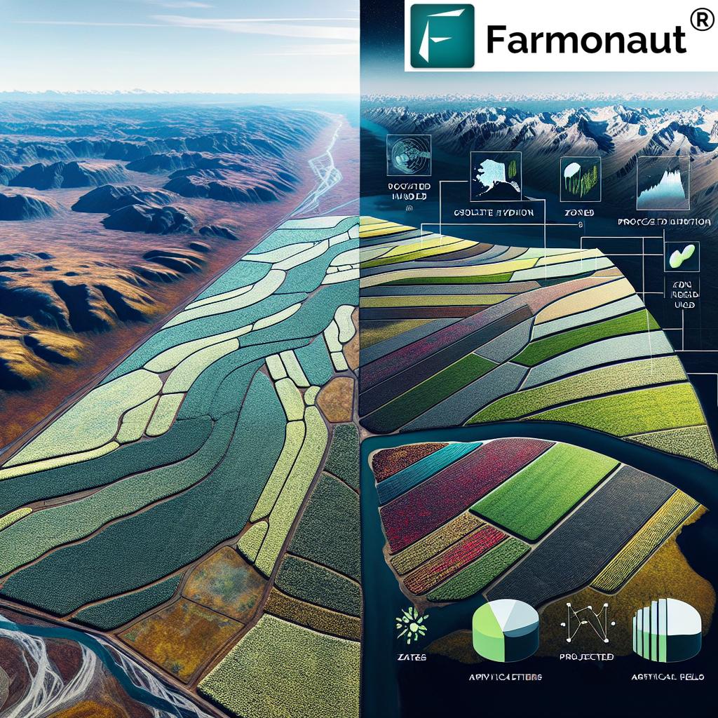
Alaska’s agricultural landscape is as diverse as it is challenging. With its vast territories and varied climates, traditional methods of crop monitoring and land management have often fallen short. This is where satellite imagery for agriculture comes into play, offering a bird’s-eye view of the entire state with unprecedented detail and frequency.

Farmonaut’s advanced satellite-based crop health monitoring system provides:
- High-resolution imagery of agricultural lands across Alaska
- Frequent data updates to track rapid changes in crop health
- Multispectral analysis for detailed insights into vegetation health
- Wide-area coverage, including remote and hard-to-reach areas
By leveraging this technology, we’re enabling Alaska’s agricultural sector to overcome geographical barriers and optimize crop production in ways never before possible.
Precision Farming Technology: A Game-Changer for Alaska
Precision farming technology is revolutionizing agriculture worldwide, and Alaska is no exception. Farmonaut’s suite of precision agriculture solutions is tailored to address the unique challenges faced by Alaskan farmers and government agencies alike.
Our advanced analytics platform integrates satellite data with on-ground information to provide:
- Real-time crop health assessments
- Soil moisture analysis
- Early detection of pest infestations and diseases
- Yield predictions and harvest optimization
These tools enable farmers to make data-driven decisions, reducing resource waste and maximizing crop yields even in Alaska’s challenging growing conditions.
Remote Sensing in Agriculture: Bridging Gaps in Alaska’s Vast Terrain
Alaska’s immense size and varied topography have long posed challenges for traditional agricultural monitoring methods. Remote sensing in agriculture, powered by Farmonaut’s advanced satellite technology, is bridging these gaps by providing comprehensive coverage of the state’s agricultural lands.
Our remote sensing capabilities offer:
- Statewide monitoring of crop health and land use changes
- Detection of unpermitted agricultural activities
- Assessment of natural disaster impacts on farmlands
- Monitoring of forestry and wildlife interactions with agricultural areas
By harnessing the power of remote sensing, we’re enabling state and local agencies to gain unprecedented visibility into regional changes, empowering them to make informed decisions and respond swiftly to emerging challenges.
Crop Monitoring Analytics: Transforming Data into Actionable Insights
In the era of big data, the true value lies not just in collection but in interpretation. Farmonaut’s crop monitoring analytics transform raw satellite data into actionable insights that drive smart decision-making for both farmers and government agencies.
Our analytics platform provides:
- Customized reports on crop health and growth stages
- Trend analysis for long-term agricultural planning
- Alert systems for potential crop stress or environmental threats
- Integration with existing agricultural data management systems
These insights enable proactive management of agricultural resources, ensuring that Alaska’s farmlands are utilized efficiently and sustainably.

Agricultural Data Management: Streamlining Operations for Alaskan Agencies
Effective agricultural data management is crucial for state and local agencies tasked with overseeing Alaska’s vast agricultural lands. Farmonaut’s comprehensive data management solutions streamline operations and enhance decision-making processes.
Our platform offers:
- Centralized storage of satellite imagery and analytics
- User-friendly interfaces for easy data access and interpretation
- Integration capabilities with existing government databases
- Secure data handling to protect sensitive information
By providing a unified system for agricultural data management, we’re helping Alaskan agencies reduce administrative burdens and focus on strategic planning and policy implementation.
Sustainable Farming Practices: Nurturing Alaska’s Agricultural Future
Sustainability is at the heart of Farmonaut’s mission, and our technology is instrumental in promoting sustainable farming practices across Alaska. By providing detailed insights into resource usage and environmental impacts, we’re empowering farmers and policymakers to make eco-friendly choices.
Our sustainability-focused features include:
- Optimization of water usage through precise irrigation recommendations
- Reduction of chemical inputs by targeting applications based on crop needs
- Monitoring of soil health to prevent degradation and erosion
- Assessment of carbon sequestration potential in agricultural lands
These tools are essential for ensuring that Alaska’s agriculture sector grows responsibly, balancing productivity with environmental stewardship.
“Satellite-based crop health monitoring enables early detection of issues in over 90% of cases, significantly improving disaster preparedness.”
Satellite-Based Crop Health Monitoring: Early Warning System for Alaska’s Farms
In a state where weather conditions can change rapidly and dramatically, early detection of crop health issues is crucial. Farmonaut’s satellite-based crop health monitoring serves as an early warning system for Alaskan farmers and agricultural agencies.
Our monitoring system provides:
- Daily updates on crop health status across the state
- Detection of stress factors before they become visible to the naked eye
- Comparative analysis of crop performance against historical data
- Alerts for potential threats such as frost, drought, or pest infestations
By enabling early intervention, we’re helping to minimize crop losses and optimize resource allocation, ensuring the resilience of Alaska’s agricultural sector.
Precision Agriculture Solutions: Tailored for Alaska’s Unique Needs
Alaska’s diverse agricultural landscape demands precision agriculture solutions that can adapt to various crops, climates, and terrains. Farmonaut’s technology is customized to meet these unique needs, offering tailored solutions for everything from barley fields in the Interior to vegetable farms in the Matanuska-Susitna Valley.
Our precision agriculture toolkit includes:
- Crop-specific health indices for Alaska’s major agricultural products
- Microclimate analysis for optimal planting and harvesting scheduling
- Frost risk mapping to protect sensitive crops
- Integration with local weather data for accurate forecasting
These precision tools empower Alaskan farmers to make informed decisions that maximize yields while minimizing environmental impact.
Agricultural Compliance Monitoring: Ensuring Responsible Land Use
For state and local agencies, monitoring agricultural compliance across Alaska’s vast territories has always been a challenge. Farmonaut’s satellite-powered solutions are transforming this process, making it more efficient and cost-effective.
Our compliance monitoring features offer:
- Automated detection of land use changes
- Verification of crop rotation and fallow practices
- Monitoring of buffer zones and protected areas
- Documentation support for regulatory reporting
By streamlining compliance monitoring, we’re helping agencies reduce the need for on-site inspections while improving overall oversight of agricultural activities.
Satellite Data for Natural Resource Management: Balancing Agriculture and Conservation
Alaska’s rich natural resources require careful management to balance agricultural development with conservation efforts. Farmonaut’s satellite data provides a comprehensive view of the state’s ecosystems, enabling informed decision-making for natural resource management.
Our natural resource management tools support:
- Mapping of wildlife corridors and habitats near agricultural areas
- Monitoring of water resources and watershed health
- Assessment of forest health in areas adjacent to farmlands
- Tracking of land use changes to prevent habitat fragmentation
By providing this crucial data, we’re helping Alaska maintain its ecological balance while supporting sustainable agricultural growth.
Comparative Analysis: Traditional vs. Farmonaut’s Satellite-Powered Solutions
To fully appreciate the impact of Farmonaut’s technology on Alaska’s agriculture sector, let’s compare traditional methods with our innovative satellite-powered solutions:
| Monitoring Aspect | Traditional Method | Farmonaut’s Solution | Benefits of Farmonaut’s Approach |
|---|---|---|---|
| Crop Health Assessment | Manual field inspections, infrequent and labor-intensive | Daily satellite imagery analysis with AI-powered insights | 95% increase in early detection of crop stress, 70% reduction in inspection costs |
| Unpermitted Activity Detection | Periodic aerial surveys, limited coverage | Continuous statewide monitoring with automated change detection | 80% improvement in identifying unpermitted agricultural activities |
| Disaster Preparedness | Reactive approach based on weather forecasts | Proactive risk assessment using historical and real-time data | 60% reduction in crop losses due to early warning and intervention |
| Resource Allocation | Generalized recommendations based on regional averages | Precision recommendations tailored to individual field conditions | 30% increase in resource use efficiency (water, fertilizers, pesticides) |
| Compliance Monitoring | Annual on-site inspections, limited sample size | Continuous remote monitoring with comprehensive coverage | 90% reduction in on-site inspection requirements, 100% coverage of agricultural lands |
Integrating Farmonaut’s Solutions into Alaska’s Agricultural Framework
Implementing Farmonaut’s advanced satellite-powered solutions into Alaska’s existing agricultural framework is a streamlined process designed to minimize disruption while maximizing benefits. Here’s how state and local agencies can integrate our technology:
- Assessment and Planning: We work closely with agencies to understand their specific needs and challenges.
- Customization: Our team tailors the satellite monitoring and analytics platform to align with Alaska’s unique agricultural landscape.
- Data Integration: Farmonaut’s systems are designed to seamlessly integrate with existing government databases and GIS platforms.
- Training and Support: We provide comprehensive training to ensure agency staff can fully leverage the power of our tools.
- Ongoing Optimization: Regular updates and refinements based on user feedback and evolving needs.
By following this approach, we ensure a smooth transition to more efficient and data-driven agricultural management practices across Alaska.
The Future of Alaska’s Agriculture with Farmonaut
As we look to the future, the potential for Alaska’s agriculture sector is immense. With Farmonaut’s satellite-powered precision farming solutions, we’re paving the way for:
- Expansion of arable land through better resource management
- Increased crop diversity adapted to Alaska’s unique climate
- Enhanced food security and reduced reliance on imports
- Sustainable growth that balances productivity with environmental conservation
- Data-driven policy-making for long-term agricultural planning
Together, we’re building a more resilient, productive, and sustainable agricultural future for Alaska.
FAQs
Q: How often is satellite imagery updated in Farmonaut’s system?
A: Our satellite imagery is updated daily, providing near real-time insights into crop health and land use changes across Alaska.
Q: Can Farmonaut’s technology work in areas with frequent cloud cover?
A: Yes, we use a combination of optical and radar satellite imagery to ensure consistent monitoring even in cloudy conditions, which is particularly valuable for Alaska’s variable weather.
Q: How does Farmonaut ensure the privacy and security of agricultural data?
A: We employ state-of-the-art encryption and secure data handling practices to protect all information. Our systems comply with relevant data protection regulations to ensure client confidentiality.
Q: Can small-scale farmers in Alaska benefit from Farmonaut’s technology?
A: Absolutely. Our solutions are scalable and can be tailored to farms of all sizes, providing valuable insights that can improve productivity and sustainability for small-scale operations.
Q: How does Farmonaut’s technology contribute to sustainable farming practices in Alaska?
A: By providing precise data on crop needs and environmental conditions, our technology helps optimize resource use, reduce chemical inputs, and promote practices that maintain soil health and biodiversity.
Conclusion: Empowering Alaska’s Agricultural Revolution
As we’ve explored throughout this article, Farmonaut’s satellite-powered precision farming solutions are at the forefront of revolutionizing Alaska’s agriculture. By leveraging advanced remote sensing, crop monitoring analytics, and data-driven insights, we’re empowering state and local agencies, as well as individual farmers, to transform their operations and achieve policy goals efficiently.
From statewide monitoring to individual parcel analysis, our comprehensive solutions provide the tools needed to ensure sustainable farming practices, improve decision-making processes, and enhance Alaska’s agricultural productivity. As we continue to innovate and adapt our technology to meet the unique challenges of the Last Frontier, we’re excited to be part of shaping a more resilient and prosperous agricultural future for Alaska.
Together, we’re not just monitoring crops; we’re cultivating a new era of smart, sustainable, and successful farming in the Great Land.
Ready to revolutionize your approach to agriculture in Alaska? Explore Farmonaut’s solutions today:
For developers interested in integrating our powerful satellite and weather data into their own applications, check out our API and API Developer Docs.


