Montana Mesonet Expands: Empowering Sustainable Agriculture with Advanced Weather and Soil Monitoring Networks
“Montana Mesonet’s expansion added 18,000 square miles of coverage, now monitoring weather across 177 active sites statewide.”
In the vast landscapes of Montana, a quiet revolution is taking place in the realm of agricultural meteorology and environmental monitoring. We are witnessing the remarkable expansion of the Montana Mesonet, a cutting-edge network of weather monitoring stations that is transforming the way we understand and manage our natural resources. This precision agriculture technology is not just a leap forward for farmers; it’s a giant stride towards sustainable land management and informed decision-making in the face of our changing climate.
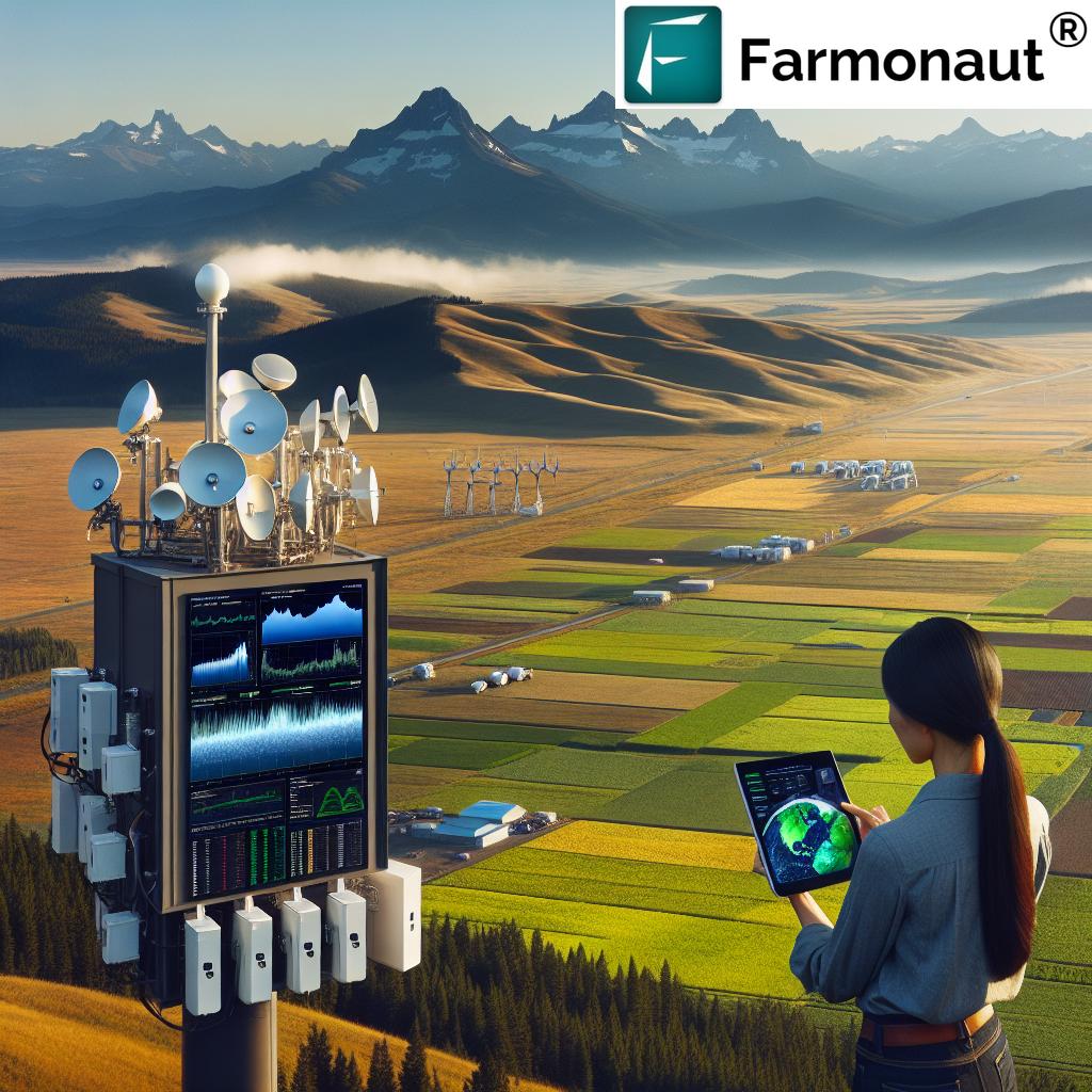
The Montana Mesonet: A Network of Precision
The Montana Mesonet, spearheaded by the Montana Climate Office at the University of Montana, has successfully completed its 2024 build season. This expansion has brought the total number of active weather, snowpack, and soil moisture monitoring stations to an impressive 177 across the state. Let’s delve into what this means for Montana’s agriculture and environmental stewardship.
- Expanded Coverage: The addition of 37 new stations has increased meteorological coverage by 18,000 square miles.
- Diverse Station Types: The network comprises two subnetworks – HydroMet and AgriMet, each serving specific purposes.
- Data-Driven Decision Making: These stations provide crucial climate data for farmers, enhancing water resource management and supporting precision agriculture.
The expansion of the Montana Mesonet is not just about numbers; it’s about creating one of the world’s densest meteorological networks. This level of detail is vital for sustainable agriculture and informed environmental management in a state known for its diverse landscapes and challenging climate conditions.
HydroMet and AgriMet: The Backbone of the Mesonet
The Montana Mesonet’s strength lies in its specialized subnetworks:
- HydroMet Stations: These focus on enhancing weather forecasts and predicting droughts and floods. They play a crucial role in the state’s drought monitoring efforts.
- AgriMet Stations: Designed to support precision agriculture, these stations provide invaluable soil moisture data and other agricultural metrics.
Together, these subnetworks create a comprehensive system that addresses both immediate weather concerns and long-term agricultural planning needs.
Addressing Climate Challenges
Montana, like many regions, faces ongoing environmental challenges. Record droughts and intense fire seasons have become increasingly common. The expanded Mesonet plays a critical role in helping policymakers anticipate and respond to these issues:
- Accurate data for the state’s drought monitoring committee
- Enhanced management of water resources
- Better preparation for agricultural impacts
As assistant state climatologist Zachary Hoylman notes, drought conditions have significantly worsened across both western and eastern Montana. This impacts surface water supplies vital for agriculture and livestock production. The Mesonet’s expanded coverage provides the data needed to make informed decisions in these critical areas.
Empowering Tribal Communities
“The network’s growth includes 14 new stations on reservations, addressing historical data gaps in tribal land monitoring.”
One of the most significant aspects of the Montana Mesonet’s expansion is its focus on tribal lands. Fourteen new stations have been established on tribal reservations, marking a crucial step in addressing historical data gaps. This initiative empowers tribal communities to make informed decisions about resource management and environmental conservation.
- Fort Peck Reservation: Gained eight new stations
- Enhanced agricultural monitoring on tribal lands
- Increased capacity for environmental stewardship
This collaboration with tribal governments is not just about data collection; it’s about respecting and supporting the unique environmental needs and challenges of these communities.

A Community-Driven Approach
What sets the Montana Mesonet apart is its community-driven approach. A significant portion of the stations are hosted by private landowners, ensuring localized and tailored monitoring efforts. This approach has several benefits:
- Increased engagement from local communities
- More accurate and relevant data for specific areas
- A sense of ownership and involvement in environmental monitoring
Data collected from these stations is made freely available to the public through online platforms. This accessibility enables farmers and landowners to access vital agricultural metrics like crop growing degree days and plant-available water, empowering them to make data-driven decisions for their land.
Educational Opportunities and Skill Development
The Montana Mesonet isn’t just about data collection; it’s also a valuable educational tool. The project serves as a training platform for University of Montana undergraduate students who work as hydrologic technicians. This experience offers:
- Hands-on experience with scientific tools
- Project management skills
- Real-world contributions to environmental monitoring
Ethan Jones, a student technician, emphasized the personal and professional growth he experienced while working with the Montana Climate Office. This aspect of the Mesonet highlights its role in nurturing the next generation of environmental scientists and technicians.
The Future of the Montana Mesonet
The ambitions for the Montana Mesonet extend far beyond its current achievements. The Montana Climate Office has set forth an impressive plan for continued expansion:
- 39 new Mesonet stations planned for 2025
- Another 39 stations planned for 2026
- Goal: Establish the Upper Missouri River Basin Network as one of the densest meteorological monitoring networks globally
Under the direction of Dr. Kelsey Jencso, the Montana Climate Office is poised to make significant strides in providing timely and scientifically-backed environmental data for the state. This expansion will be instrumental for land and water resource management in the region, offering unprecedented insights into Montana’s diverse ecosystems.
Impact on Agriculture and Water Management
The expansion of the Montana Mesonet has profound implications for agriculture and water management in the state:
- Precision Agriculture: Farmers can access real-time data on soil moisture, temperature, and other critical factors, allowing for more precise irrigation and crop management decisions.
- Water Conservation: Improved data on water availability and usage patterns can lead to more efficient water management strategies, crucial in a state prone to drought.
- Crop Selection and Planning: Long-term data trends can inform better crop selection and planting schedules, adapting to changing climate patterns.
- Livestock Management: Ranchers can use weather and forage data to make informed decisions about grazing patterns and herd management.
By providing this level of detailed, localized data, the Montana Mesonet is empowering farmers and ranchers to make more informed decisions, potentially leading to increased yields, reduced resource use, and more sustainable agricultural practices.
Environmental Monitoring and Conservation
Beyond agriculture, the Montana Mesonet plays a crucial role in broader environmental monitoring and conservation efforts:
- Forest Management: Data from the network can help predict fire risks and inform forest management practices.
- Wildlife Conservation: Understanding local climate patterns can aid in wildlife habitat management and conservation efforts.
- Watershed Management: Detailed data on precipitation and soil moisture helps in managing watersheds more effectively.
- Climate Change Research: The dense network provides valuable data for studying local impacts of climate change.
This comprehensive environmental monitoring capability positions Montana at the forefront of climate science and environmental stewardship.
Technological Integration and Data Accessibility
The Montana Mesonet’s success is not just in its physical expansion but also in how it integrates technology for data accessibility:
- Real-Time Data Access: Users can access data through web interfaces and mobile applications, providing immediate insights.
- API Integration: The network’s data can be integrated into other systems and applications, expanding its utility.
- Data Visualization Tools: Advanced visualization tools help users interpret complex data sets easily.
This technological integration ensures that the wealth of data collected by the Mesonet is not just stored but actively used to inform decision-making across various sectors.
Comparative Table: Montana Mesonet Expansion Impact
| Metric | Before Expansion | After Expansion |
|---|---|---|
| Number of Active Sites | 140 | 177 |
| Area Covered (square miles) | Approximately 130,000 | Approximately 148,000 |
| Tribal Reservation Coverage (stations) | Limited | 14 new stations |
| Estimated Data Points Collected Daily | 100,000+ | 150,000+ |
| Key Environmental Factors Monitored | Weather, basic soil data | Weather, advanced soil moisture, snowpack |
| Number of Participating Private Landowners | Approximately 50 | Over 70 |
| Estimated Impact on Agricultural Decision-Making | Moderate | High |
Challenges and Future Considerations
While the expansion of the Montana Mesonet is undoubtedly a significant achievement, it also brings certain challenges and considerations for the future:
- Data Management: With the increase in data collection points, managing and analyzing this vast amount of information becomes more complex.
- Maintenance and Upkeep: Ensuring the continued functionality of a larger network requires more resources and planning.
- Balancing Coverage: Ensuring equitable coverage across diverse landscapes and communities remains an ongoing challenge.
- Integrating with Other Systems: There’s potential for integrating Mesonet data with other state and national environmental monitoring systems for broader impact.
Addressing these challenges will be crucial for the long-term success and sustainability of the Montana Mesonet.
The Role of Technology in Modern Agriculture
The Montana Mesonet exemplifies how technology is revolutionizing agriculture. In this context, it’s worth noting the role of other agricultural technology solutions, such as those offered by companies like Farmonaut. While not directly related to the Mesonet, these technologies complement its efforts in advancing precision agriculture:
- Satellite-Based Crop Monitoring: Solutions that use satellite imagery for crop health assessment and yield prediction.
- AI-Driven Advisory Systems: Advanced algorithms that provide personalized farm management recommendations.
- Mobile Applications: Tools that bring agricultural data and insights directly to farmers’ smartphones.
The integration of these technologies with networks like the Montana Mesonet creates a powerful ecosystem for data-driven agriculture.
For those interested in exploring such technologies, Farmonaut offers solutions accessible through various platforms:
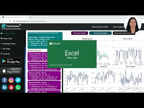
Additionally, for developers interested in integrating weather and satellite data into their applications, Farmonaut provides an API service:
Conclusion: A New Era for Montana’s Environmental Stewardship
The expansion of the Montana Mesonet marks a significant milestone in the state’s approach to environmental monitoring and agricultural management. By providing unprecedented access to detailed, localized climate and soil data, the Mesonet is empowering farmers, ranchers, tribal communities, and policymakers to make more informed decisions about land and water resource management.
As we look to the future, the continued growth of this network promises to position Montana at the forefront of climate science and sustainable agriculture. The Montana Mesonet is more than just a collection of weather stations; it’s a testament to the power of community-driven science and the importance of data in shaping our relationship with the environment.
In an era where climate challenges are becoming increasingly complex, initiatives like the Montana Mesonet serve as beacons of hope and progress. They demonstrate how technology, community engagement, and scientific rigor can come together to create powerful tools for environmental stewardship and sustainable agriculture.
As we continue to witness the impacts of this expanded network, one thing is clear: the Montana Mesonet is not just monitoring the state’s environment – it’s helping to shape a more resilient and sustainable future for Montana and beyond.
FAQs About the Montana Mesonet
- What is the Montana Mesonet?
The Montana Mesonet is a network of weather and soil monitoring stations across Montana that provides real-time data for agricultural and environmental purposes. - How many stations are in the Montana Mesonet?
As of the latest expansion, there are 177 active stations in the Montana Mesonet network. - What type of data does the Mesonet collect?
The Mesonet collects data on weather conditions, soil moisture, temperature, and other environmental factors crucial for agriculture and resource management. - How does the Mesonet benefit farmers?
Farmers can use Mesonet data for precision agriculture, including optimizing irrigation, planning planting and harvesting, and managing crop health. - Is Mesonet data publicly available?
Yes, data collected by the Montana Mesonet is made freely available to the public through online platforms. - How does the Mesonet support tribal communities?
The Mesonet has installed stations on tribal reservations, providing crucial environmental data that was historically lacking in these areas. - What are the future plans for the Montana Mesonet?
The Montana Climate Office plans to add 39 new stations each in 2025 and 2026, aiming to create one of the world’s densest meteorological networks. - How does the Mesonet contribute to climate change research?
By providing detailed, localized data over time, the Mesonet offers valuable insights into local climate patterns and changes, supporting broader climate research efforts. - Can individuals host a Mesonet station?
Yes, many Mesonet stations are hosted by private landowners, contributing to the network’s community-driven approach. - How does the Mesonet integrate with other technologies?
The Mesonet data can be accessed through web interfaces and APIs, allowing integration with other agricultural and environmental management tools.
