Revolutionize Your Kansas Farm: 6 Innovative Satellite Techniques for Precision Agriculture and Land Assessment
“Satellite imagery can analyze up to 100% of a farm’s tillable acreage, providing precise land assessment for Kansas farmers.”
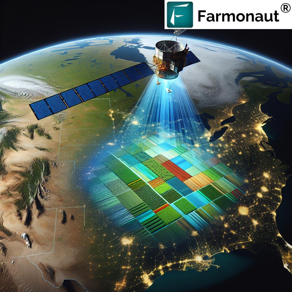
Welcome to the future of farming in Kansas! At Farmonaut, we’re excited to share groundbreaking satellite techniques that are transforming the agricultural landscape. Our mission is to make precision agriculture accessible and affordable for farmers across the Sunflower State and beyond. In this comprehensive guide, we’ll explore six innovative satellite-based methods that are revolutionizing farm appraisal and land assessment.
As we delve into these cutting-edge technologies, you’ll discover how satellite imagery for agriculture is changing the game for farmers, agronomists, and land managers. From calculating tillable acreage to monitoring drought conditions, these precision agriculture technologies are enhancing farm management practices and boosting productivity.
1. Tillable Acreage Analysis: Maximizing Your Farm’s Potential
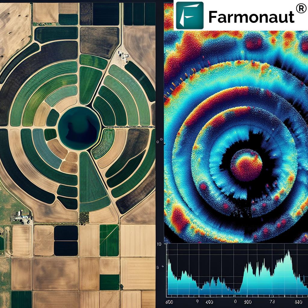
One of the most crucial aspects of farm appraisal techniques is accurately determining the amount of land that can be cultivated. Satellite imagery has revolutionized this process, allowing for precise tillable acreage calculation without the need for time-consuming on-site surveys.
- High-Resolution Imagery: We use advanced satellites to capture detailed images of your farmland, revealing every contour and feature with remarkable clarity.
- AI-Powered Analysis: Our sophisticated algorithms analyze these images to distinguish between tillable and non-tillable areas, including wetlands, ditches, and wooded sections.
- Accurate Measurements: This technology enables us to provide you with exact acreage figures, ensuring you have a clear understanding of your farm’s productive potential.
By leveraging satellite data in farm management, Kansas farmers can make informed decisions about crop planning, resource allocation, and potential land acquisitions. This precise knowledge of tillable acreage is invaluable for maximizing your farm’s productivity and profitability.

2. Soil Productivity Analysis: Unlocking Your Land’s True Potential
Understanding soil productivity is crucial for optimizing crop yields and making informed land management decisions. Our satellite-based soil productivity analysis offers Kansas farmers unprecedented insights into their land’s fertility and potential.
- Multispectral Imaging: We utilize multispectral satellite sensors to capture data across various electromagnetic wavelengths, revealing crucial information about soil composition and health.
- Historical Data Integration: By combining current satellite imagery with historical crop yield data, we can identify trends and patterns in soil productivity over time.
- Precision Mapping: Our advanced algorithms generate detailed soil productivity maps, highlighting areas of high and low fertility across your farmland.
This comprehensive soil productivity analysis empowers Kansas farmers to make data-driven decisions about crop selection, fertilizer application, and land valuation. By understanding the varied productivity levels across your farm, you can tailor your management practices to maximize yields and minimize resource waste.
3. Moisture Level Monitoring: Optimizing Irrigation for Kansas Crops
“Farmonaut’s satellite technology can detect soil moisture variations as small as 1% across entire fields, enhancing irrigation efficiency.”
In the often drought-prone regions of Kansas, effective moisture management is critical for crop success. Our satellite-based moisture level monitoring provides real-time insights into soil water content, enabling precise irrigation planning and water conservation.
- Microwave Sensors: We employ advanced satellite-based microwave sensors that can penetrate cloud cover and vegetation to measure soil moisture content.
- Synthetic Aperture Radar (SAR): This technology allows us to create detailed moisture maps, even in areas with dense crop cover or frequent cloud presence.
- Temporal Analysis: By monitoring moisture levels over time, we can identify trends and help you anticipate irrigation needs before crops show signs of water stress.
Our moisture level monitoring system is a game-changer for Kansas farmers, especially in regions where water resources are limited. By providing accurate, timely data on soil moisture conditions, we help you optimize irrigation practices, reduce water waste, and improve crop resilience to dry spells.
4. Elevation Mapping: Understanding Your Farm’s Topography
Elevation plays a crucial role in farm management, affecting everything from water flow to soil erosion. Our satellite-based elevation mapping provides Kansas farmers with detailed topographical information, enabling better land use planning and resource management.
- High-Precision DEM: We create Digital Elevation Models (DEMs) using satellite data, offering centimeter-level accuracy in elevation measurements.
- Slope Analysis: Our advanced algorithms analyze elevation data to identify slopes and contours across your farmland, helping you plan for optimal crop placement and erosion control.
- 3D Visualization: We provide user-friendly 3D visualizations of your farm’s topography, making it easy to understand and communicate land features.
By leveraging elevation mapping for agriculture, Kansas farmers can make informed decisions about drainage systems, terracing, and crop selection based on topographical features. This precision agriculture technology helps optimize land use, reduce soil erosion, and improve overall farm productivity.

5. Flood Risk Assessment: Protecting Your Kansas Crops
In a state where weather patterns can be unpredictable, understanding and mitigating flood risks is essential for protecting your crops and infrastructure. Our satellite-based flood risk assessment provides Kansas farmers with valuable insights to prepare for and manage potential flooding events.
- Historical Flood Mapping: We analyze years of satellite imagery to identify areas of your farm that have been prone to flooding in the past.
- Topographical Analysis: By combining elevation data with historical precipitation patterns, we can predict which areas of your farm are most susceptible to future flooding.
- Real-time Monitoring: During periods of heavy rainfall, our system provides near real-time updates on water accumulation and potential flood risks.
This comprehensive flood risk assessment enables Kansas farmers to make informed decisions about crop placement, drainage improvements, and infrastructure development. By understanding your farm’s flood risk profile, you can take proactive measures to protect your assets and minimize potential losses.
6. Drought Monitoring for Crops: Staying Ahead of Dry Spells
Drought can be a significant challenge for Kansas farmers, impacting crop yields and farm profitability. Our satellite-based drought monitoring system provides early warning signs and ongoing assessment of drought conditions, allowing you to take timely action to protect your crops.
- Vegetation Health Index: We use multispectral satellite imagery to calculate vegetation health indices, providing early indications of crop stress due to drought.
- Soil Moisture Tracking: Our system integrates data from soil moisture satellites to monitor changes in water availability across your farmland.
- Weather Pattern Analysis: By combining satellite data with weather forecasts, we provide predictive insights into potential drought conditions.
This advanced drought monitoring technology empowers Kansas farmers to make proactive decisions about irrigation, crop selection, and resource allocation. By staying ahead of dry spells, you can mitigate the impacts of drought and maintain crop productivity even in challenging conditions.
Comparative Analysis: Satellite Techniques for Kansas Farms
To help you understand the relative benefits of each satellite technique, we’ve compiled a comparative analysis table. This information will assist you in prioritizing which technologies to implement on your Kansas farm.
| Satellite Technique | Primary Function | Estimated Impact on Crop Yield (%) | Implementation Difficulty (1-5) | Cost-Effectiveness (1-5) |
|---|---|---|---|---|
| Tillable Acreage Analysis | Precise land use planning | 5-10% | 2 | 5 |
| Soil Productivity Assessment | Optimize crop selection and fertilization | 10-20% | 3 | 4 |
| Moisture Level Monitoring | Improve irrigation efficiency | 15-25% | 3 | 4 |
| Elevation Mapping | Enhance drainage and erosion control | 5-15% | 2 | 5 |
| Flood Risk Evaluation | Protect crops and infrastructure | 10-30%* | 4 | 3 |
| Drought Monitoring | Mitigate impacts of dry spells | 20-40%* | 3 | 4 |
*Note: The impact on crop yield for flood risk evaluation and drought monitoring can be significantly higher in years with extreme weather events.
Implementing Satellite Techniques on Your Kansas Farm
Now that we’ve explored these innovative satellite techniques, you might be wondering how to implement them on your farm. At Farmonaut, we’ve made it easy for Kansas farmers to access and utilize these advanced technologies.
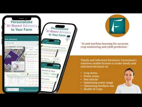
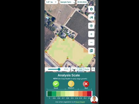
- User-Friendly Platforms: Our web and mobile applications provide intuitive interfaces for accessing satellite data and insights.
- Customized Solutions: We offer tailored packages to meet the specific needs of your farm, whether you’re managing a small family operation or a large commercial enterprise.
- Ongoing Support: Our team of agricultural experts and data scientists is always available to help you interpret and apply the satellite-derived information.
To get started with Farmonaut’s satellite-based farm management solutions, simply choose the platform that works best for you:
For developers and businesses looking to integrate our satellite data into their own systems, we also offer a robust API:
Farmonaut API | API Developer Docs
The Future of Farming in Kansas
As we look to the future, the role of satellite technology in agriculture will only continue to grow. At Farmonaut, we’re committed to staying at the forefront of these innovations, bringing cutting-edge solutions to Kansas farmers.
- AI-Powered Predictions: We’re developing advanced machine learning algorithms to provide even more accurate yield predictions and pest outbreak forecasts.
- Integration with IoT Devices: Our satellite data will seamlessly integrate with on-farm sensors and smart machinery, creating a fully connected agricultural ecosystem.
- Climate Change Adaptation: We’re working on tools to help Kansas farmers adapt to changing climate patterns, ensuring long-term sustainability and productivity.
By embracing these satellite techniques and staying open to future innovations, Kansas farmers can position themselves at the forefront of modern agriculture, ensuring their farms remain productive, profitable, and sustainable for generations to come.
Conclusion: Empowering Kansas Farmers with Satellite Technology
The six innovative satellite techniques we’ve explored – tillable acreage analysis, soil productivity assessment, moisture level monitoring, elevation mapping, flood risk evaluation, and drought monitoring – are revolutionizing farm appraisal and land assessment in Kansas. By leveraging these precision agriculture technologies, farmers can make more informed decisions, optimize resource use, and significantly boost their productivity.
At Farmonaut, we’re proud to be at the forefront of this agricultural revolution, providing Kansas farmers with accessible, affordable, and powerful satellite-based solutions. Our commitment to innovation and farmer success drives us to continuously improve and expand our offerings.
We invite you to join the thousands of farmers who are already benefiting from our satellite technology. Whether you’re looking to optimize your current operations or exploring new agricultural investments, Farmonaut’s suite of tools can provide the insights you need to thrive in today’s competitive farming landscape.
Ready to revolutionize your Kansas farm with cutting-edge satellite technology? Explore our subscription options below and take the first step towards a more productive and sustainable future for your farm.
Frequently Asked Questions (FAQ)
Q1: How accurate is satellite imagery for measuring tillable acreage?
A1: Satellite imagery can provide extremely accurate measurements of tillable acreage, often with precision levels of 98% or higher. Our advanced algorithms can distinguish between tillable land and non-agricultural areas such as roads, buildings, and natural features.
Q2: Can satellite technology really help predict crop yields?
A2: Yes, satellite technology is highly effective in predicting crop yields. By analyzing vegetation indices, soil moisture levels, and historical data, we can provide accurate yield forecasts weeks or even months before harvest.
Q3: How often is satellite data updated?
A3: The frequency of updates depends on the specific satellite and the type of data. Some datasets are updated daily, while others may be refreshed weekly or monthly. At Farmonaut, we strive to provide the most current data available for each of our services.
Q4: Is satellite-based farm management cost-effective for small farms?
A4: Absolutely! We’ve designed our services to be scalable and affordable for farms of all sizes. The potential improvements in yield and resource efficiency often result in a significant return on investment, even for smaller operations.
Q5: How does satellite technology help with water management?
A5: Satellite technology aids water management by providing accurate soil moisture data, helping identify areas prone to flooding or drought, and enabling precise irrigation planning. This leads to more efficient water use and healthier crops.
Embark on your journey to revolutionize your Kansas farm with Farmonaut’s innovative satellite techniques. By harnessing the power of precision agriculture technology, you’ll be well-equipped to face the challenges of modern farming and seize new opportunities for growth and sustainability. Join us in shaping the future of agriculture in Kansas and beyond!


