Revolutionizing Agriculture: How High-Resolution Satellite Imagery Empowers Precision Farming in California
“High-resolution satellite imagery can provide up to 3-5 meter spatial resolution for precision farming applications.”
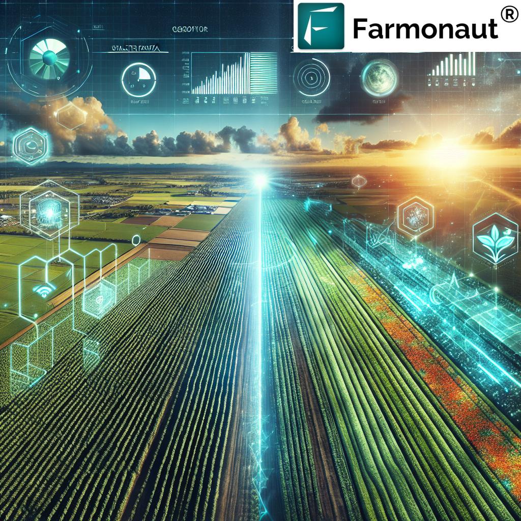
In the sun-drenched fields of California, a quiet revolution is taking place. The Golden State’s agricultural landscape is being transformed by the power of high-resolution satellite imagery and precision farming technology. At Farmonaut, we’re at the forefront of this agricultural renaissance, harnessing the potential of satellite data to empower farmers and revolutionize crop management practices.
As we delve into the world of satellite-based agriculture, we’ll explore how this cutting-edge technology is reshaping the way we grow food, manage resources, and plan for a sustainable future. From the fertile valleys of the Central Coast to the vast orchards of the San Joaquin Valley, California’s diverse agricultural regions are embracing these innovative solutions to address the challenges of modern farming.

The Power of Satellite Imagery in Agriculture
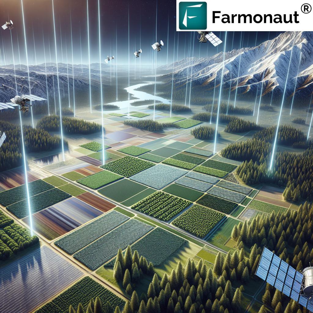
Satellite imagery has become an indispensable tool in modern agriculture, offering farmers and agronomists a bird’s-eye view of their fields with unprecedented detail and frequency. This technology allows for:
- High-resolution farm mapping: Providing detailed insights into field boundaries, crop types, and land use patterns.
- Remote sensing for crop monitoring: Enabling real-time assessment of crop health, growth stages, and stress factors.
- Precision agriculture solutions: Facilitating targeted interventions for optimal resource management and yield improvement.
At Farmonaut, we leverage advanced satellite technology to deliver these capabilities to farmers across California and beyond. Our platform integrates high-resolution imagery with sophisticated analytics to provide actionable intelligence for farm management decisions.
Satellite Data: The Foundation of Precision Farming
The cornerstone of precision farming lies in the quality and timeliness of data. Satellite imagery provides a consistent and reliable source of information that forms the basis for informed decision-making. Here’s how satellite data is revolutionizing various aspects of agriculture:
- Crop Health Assessment: Multispectral imagery allows us to analyze vegetation indices like NDVI (Normalized Difference Vegetation Index), providing insights into crop vigor and stress levels.
- Yield Prediction: By integrating historical data with current crop conditions, we can generate accurate yield forecasts, helping farmers and markets prepare for upcoming harvests.
- Resource Optimization: Precise mapping of soil moisture and nutrient levels enables targeted application of water and fertilizers, reducing waste and environmental impact.
- Pest and Disease Management: Early detection of pest infestations or disease outbreaks through spectral analysis allows for timely and localized interventions.
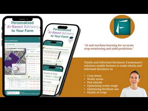
Our Farmonaut platform harnesses these capabilities, providing California farmers with a comprehensive suite of tools for precision agriculture. From our user-friendly dashboard to our automated alert systems, we’re making high-frequency, high-resolution satellite imagery accessible and actionable for organizations of all sizes.
Geospatial Analytics: Turning Data into Decisions
The true power of satellite imagery lies not just in the data itself, but in the insights we can extract from it. Geospatial analytics plays a crucial role in transforming raw satellite data into valuable information for farm management. Here’s how we’re leveraging this technology:
- Spatial Pattern Analysis: Identifying areas of consistent underperformance or exceptional growth within fields.
- Temporal Change Detection: Monitoring crop development over time to track growth rates and respond to changes promptly.
- Predictive Modeling: Using historical and real-time data to forecast potential issues and optimize planting and harvesting schedules.
By integrating these analytical capabilities into our platform, we’re enabling California farmers to make data-driven decisions that improve efficiency, reduce risks, and maximize yields.
“Farmonaut’s satellite technology offers revisit capabilities as frequent as every 1-3 days for timely agricultural insights.”
Rapid Revisit Capabilities: Staying Ahead of the Curve
In the fast-paced world of agriculture, timely information is crucial. Our satellite technology boasts rapid revisit capabilities, allowing us to capture images of the same location multiple times per day. This frequent imagery update schedule provides several advantages:
- Intraday Monitoring: Track changes in crop conditions throughout the day, enabling quick responses to sudden events like pest outbreaks or weather damage.
- Seasonal Trends: Build comprehensive datasets that reveal patterns in crop development over entire growing seasons.
- Event Detection: Identify and respond to critical events such as the onset of drought stress or the impact of extreme weather.
For California farmers dealing with the state’s diverse microclimates and varying water availability, this level of monitoring precision is invaluable. It allows for proactive management strategies that can make the difference between a successful harvest and a failed crop.

Beyond Agriculture: Multifaceted Applications of Satellite Imagery
While our focus at Farmonaut is on agricultural applications, it’s worth noting that the power of high-resolution satellite imagery extends far beyond the farm. Here are some additional areas where this technology is making a significant impact:
- Forestry: Monitoring forest health, tracking deforestation, and assessing wildfire risks.
- Energy: Optimizing the placement of renewable energy infrastructure and monitoring pipeline networks.
- Emergency Management: Providing real-time imagery for disaster response and recovery efforts.
- Urban Planning: Assisting in land use mapping and infrastructure development planning.
These diverse applications underscore the versatility and importance of satellite imaging technology in addressing global challenges across multiple sectors.
Explore Farmonaut’s API for custom satellite data integration
The Farmonaut Advantage: Making High-Resolution Imagery Accessible
At Farmonaut, we’re committed to democratizing access to high-resolution satellite imagery and its associated insights. Our platform is designed with the following key features:
- User-Friendly Dashboard: An intuitive interface that allows farmers to easily navigate and interpret complex satellite data.
- Automated Alert Systems: Proactive notifications about significant changes in crop health or field conditions.
- Customizable Analytics: Tailored reports and insights based on specific crop types and regional factors.
- Integration Capabilities: Seamless connection with other farm management tools and systems.
By combining these features with our advanced satellite technology, we’re empowering California farmers to harness the full potential of precision agriculture.
The Future of Farming: Sustainable Practices Through Satellite Insights
As we look to the future, the role of satellite imagery in promoting sustainable farming practices becomes increasingly clear. By providing detailed insights into resource usage and environmental impact, this technology enables farmers to:
- Optimize Water Usage: Precise irrigation scheduling based on real-time soil moisture data.
- Reduce Chemical Inputs: Targeted application of fertilizers and pesticides only where and when needed.
- Improve Soil Health: Monitoring of soil quality indicators to inform conservation practices.
- Enhance Biodiversity: Identifying and preserving areas of ecological importance within agricultural landscapes.
These practices not only benefit the environment but also contribute to the long-term viability and profitability of farms across California and beyond.
Access our API Developer Docs for advanced integration options
Empowering California’s Agricultural Future
As we’ve explored throughout this article, high-resolution satellite imagery is revolutionizing agriculture in California. From precision farming techniques to sustainable resource management, the impact of this technology is profound and far-reaching.
At Farmonaut, we’re proud to be at the forefront of this agricultural revolution, providing farmers with the tools and insights they need to thrive in an increasingly complex and challenging environment. By making high-frequency, high-resolution satellite imagery accessible and actionable, we’re helping to shape a more sustainable and productive future for California’s agriculture.
As we continue to innovate and expand our capabilities, we invite you to join us on this journey. Whether you’re a small family farm or a large agricultural enterprise, Farmonaut’s satellite-based solutions can help you optimize your operations, increase your yields, and contribute to a more sustainable agricultural future.
Satellite Imagery Applications in California Agriculture
| Application | Traditional Method | Satellite Imagery Method | Estimated Efficiency Gain |
|---|---|---|---|
| Crop Health Monitoring | Manual field scouting | NDVI analysis from multispectral imagery | 70-90% time savings |
| Irrigation Management | Scheduled watering or soil probes | Soil moisture mapping from SAR data | 20-40% water savings |
| Yield Prediction | Historical averages and manual estimates | AI-driven analysis of growth patterns | 15-30% improved accuracy |
| Pest Detection | Regular field inspections | Early detection through spectral analysis | 50-70% reduction in crop losses |
Frequently Asked Questions
Q: How often is satellite imagery updated for agricultural monitoring?
A: At Farmonaut, we offer rapid revisit capabilities, with imagery updates as frequent as every 1-3 days, ensuring timely insights for California farmers.
Q: Can satellite imagery detect specific crop diseases?
A: While satellite imagery can’t directly identify specific diseases, it can detect changes in plant health that may indicate disease presence, allowing for targeted field inspections.
Q: How does Farmonaut ensure the accuracy of its satellite data?
A: We employ sophisticated algorithms and machine learning techniques to process and validate our satellite data, ensuring high accuracy and reliability in our agricultural insights.
Q: Is satellite-based monitoring suitable for small farms?
A: Absolutely! Our solutions are scalable and can benefit farms of all sizes, providing valuable insights that can improve efficiency and yield for small and large operations alike.
Q: How does satellite imagery contribute to sustainable farming practices?
A: By enabling precise resource management and early problem detection, satellite imagery helps farmers reduce water usage, minimize chemical inputs, and optimize overall farm operations, contributing to more sustainable agricultural practices.
Join the Agricultural Revolution with Farmonaut
As we’ve explored throughout this article, high-resolution satellite imagery is transforming agriculture in California and beyond. At Farmonaut, we’re committed to making these powerful tools accessible to farmers of all sizes, empowering them to make data-driven decisions that improve yields, reduce costs, and promote sustainability.
Ready to revolutionize your farming practices? Explore our range of satellite-based solutions and join the precision agriculture movement today!
Embrace the future of farming with Farmonaut’s cutting-edge satellite technology. Together, we can cultivate a more productive, sustainable, and resilient agricultural landscape for California and beyond.


