Revolutionizing Precision Agriculture: Harnessing Climate Data and Satellite Imagery for Optimized Crop Production and Field Health
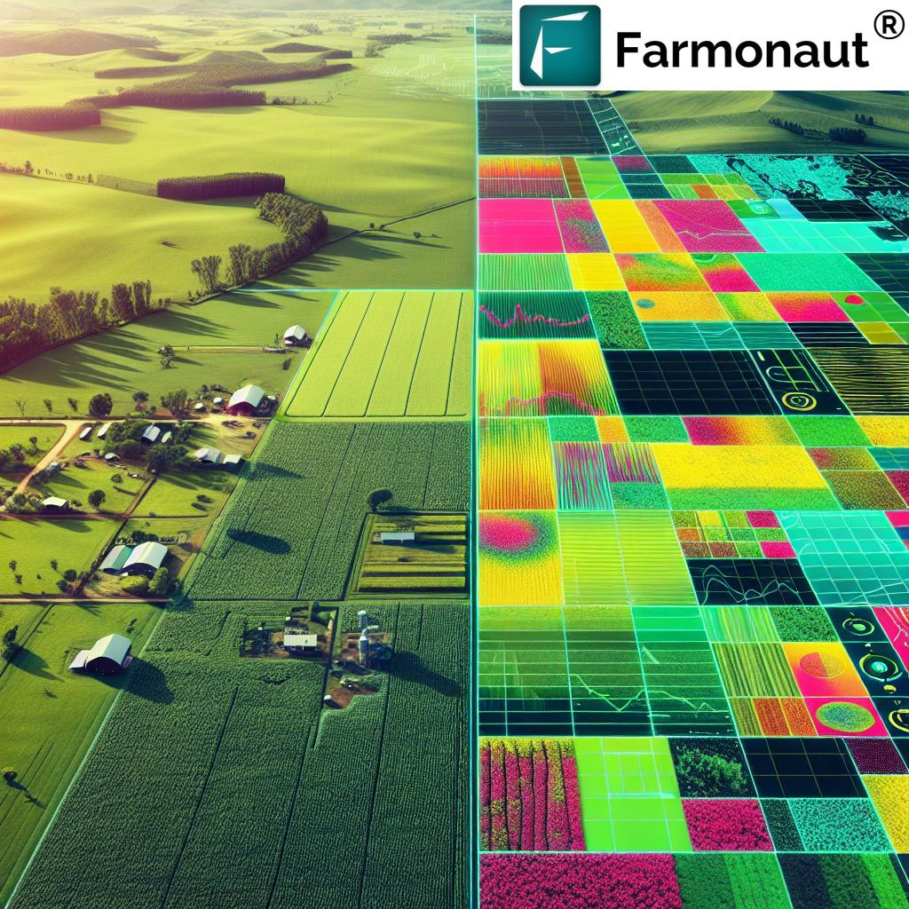
In today’s rapidly evolving agricultural landscape, we at Farmonaut are at the forefront of a technological revolution that is transforming the way we approach farming. By harnessing the power of climate data, satellite imagery, and advanced analytics, we’re enabling farmers and agronomists to make more informed decisions, optimize their inputs, and significantly boost crop production while maintaining field health. This blog post delves into the intricate world of precision agriculture and how our innovative solutions are shaping the future of farming.
The Power of Data-Driven Agriculture
In the age of information, data has become the new currency in agriculture. Our approach leverages vast amounts of data from various sources to provide actionable insights for farmers. Here’s how we’re making a difference:
- Climate Data Integration: We utilize comprehensive climate data to help farmers understand and predict weather patterns, enabling them to make crucial decisions about planting, irrigation, and harvesting.
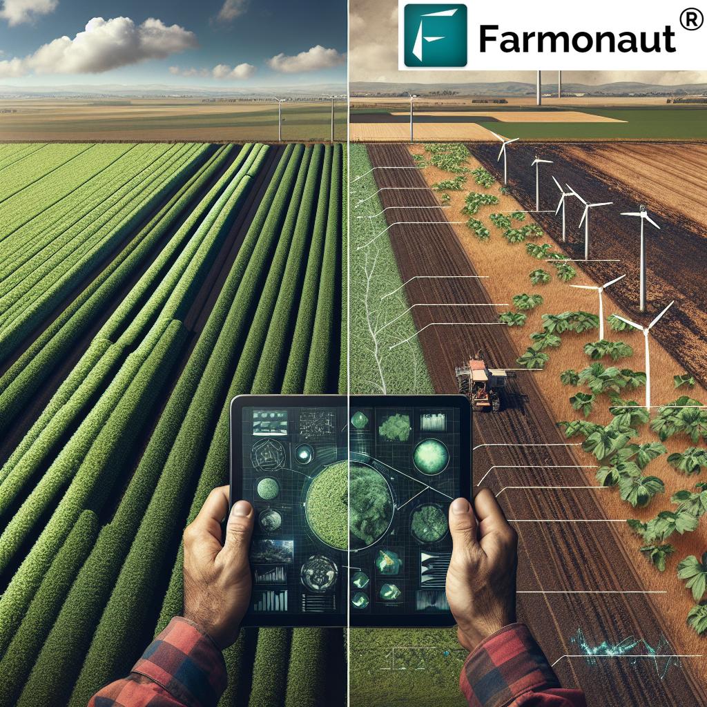
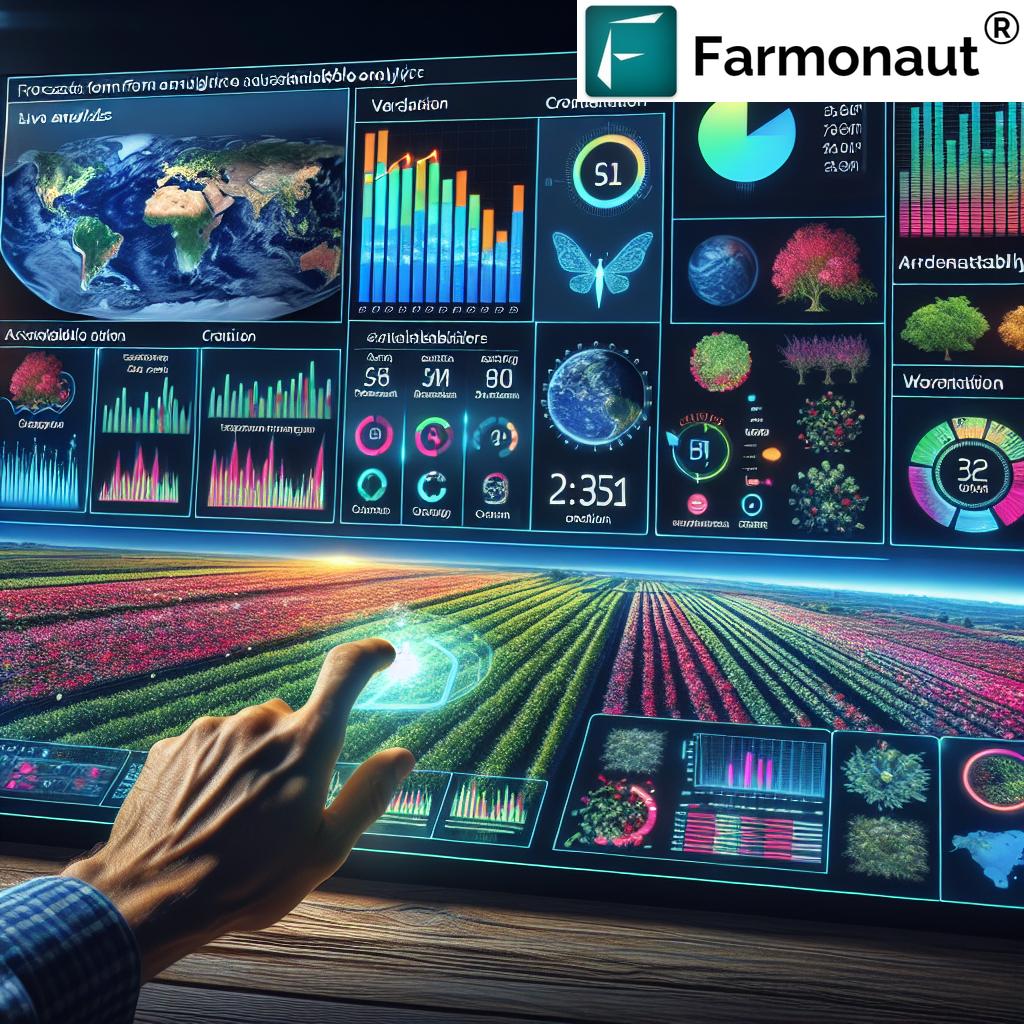
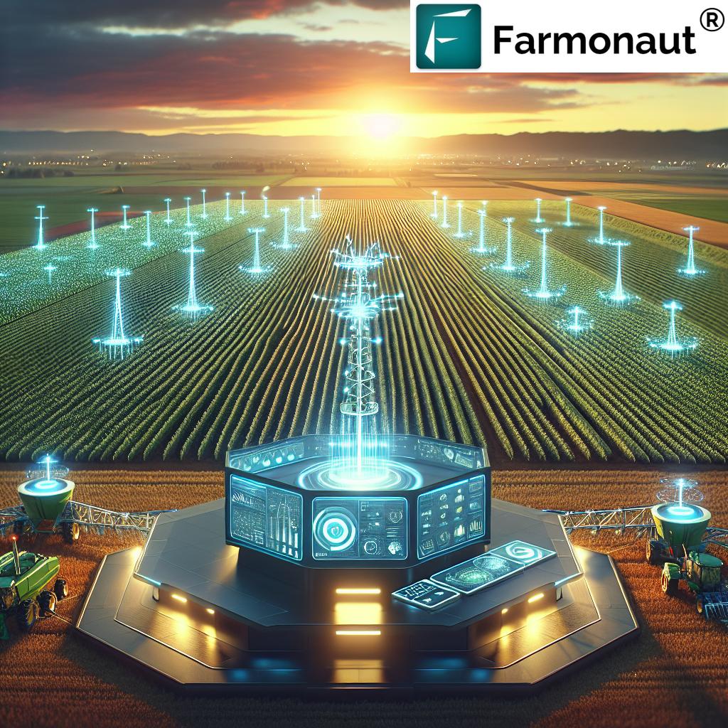
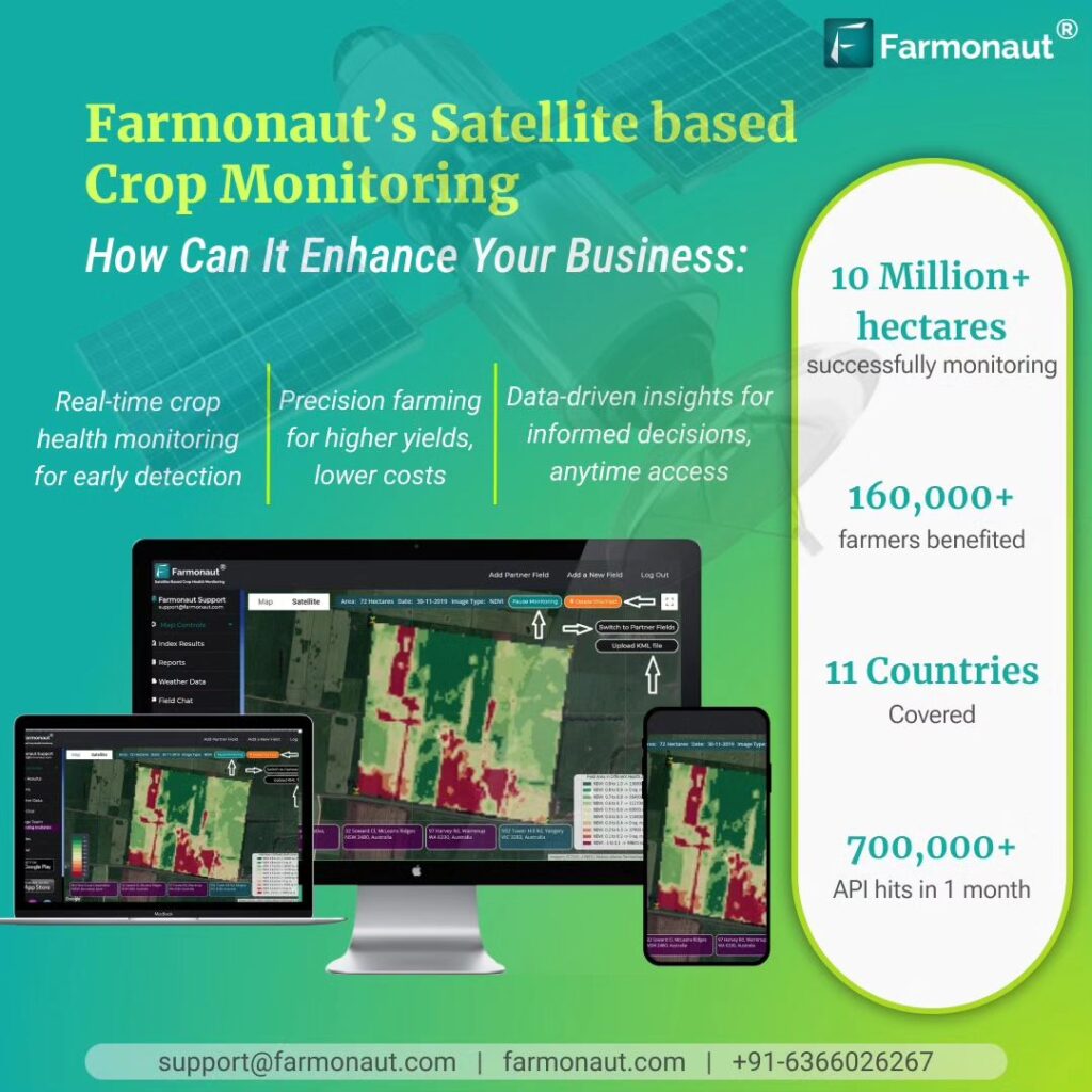
- Satellite Imagery Analysis: Our advanced algorithms analyze high-resolution satellite imagery to assess crop health, detect anomalies, and track growth patterns across vast fields and acres.
- Field Mapping: We create detailed maps of fields, providing farmers with a bird’s-eye view of their land and helping them identify areas that require attention.
- Variable Rate Prescriptions: By analyzing soil conditions and crop needs, we generate variable rate prescriptions for fertilizers and other inputs, optimizing resource use and reducing waste.
Empowering Decision-Making with Precision Ag
Precision agriculture is more than just a buzzword; it’s a fundamental shift in how we approach farming. Our platform empowers farmers and agronomists to make data-driven decisions that can significantly impact their yields and profitability. Here’s how:
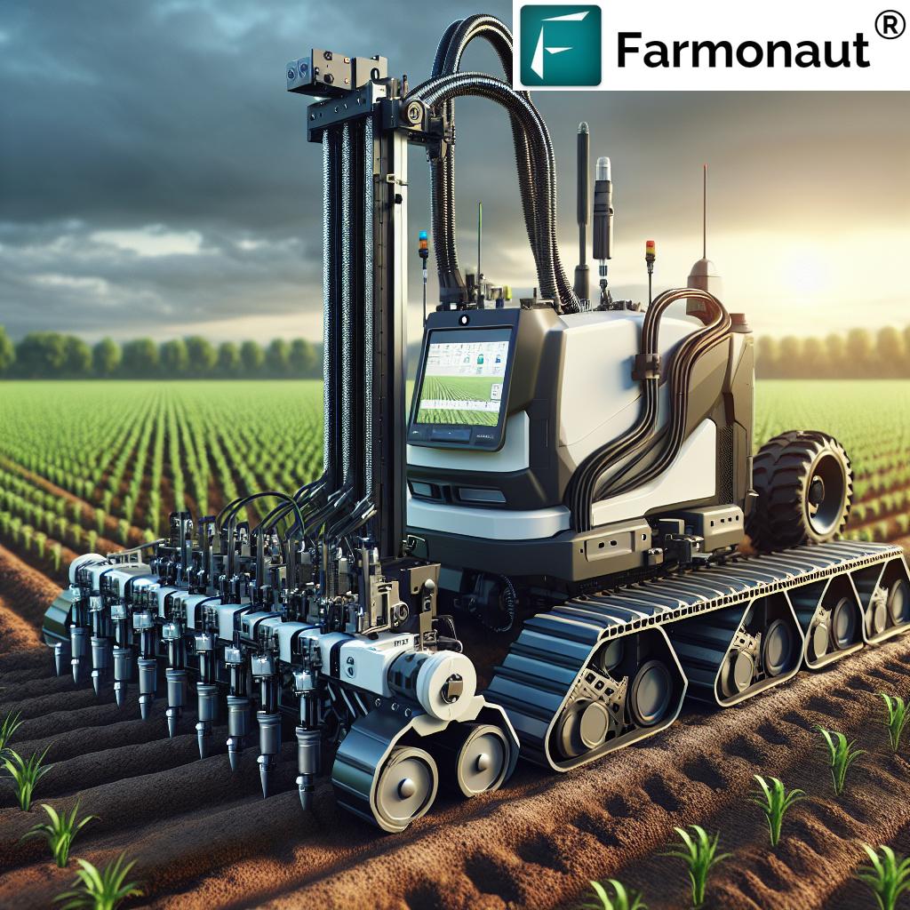
- Real-time Crop Health Monitoring: Our app provides continuous updates on crop health, allowing for timely interventions to address issues before they escalate.
- Optimized Input Management: By precisely calculating the needs of each part of the field, we help farmers apply the right amount of fertilizers, pesticides, and water, reducing costs and environmental impact.
- Yield Prediction: Using historical data and current conditions, we offer accurate yield predictions, helping farmers plan their harvesting and marketing strategies.
- Resource Allocation: Our insights help in efficiently allocating resources, from machinery to labor, ensuring optimal use of all farm assets.

The Role of Satellite Imagery in Modern Farming
Satellite imagery has revolutionized the way we monitor and manage agricultural lands. Our platform leverages this technology to provide unparalleled insights:
- Comprehensive Field Coverage: Satellite imagery allows us to monitor vast areas of land, providing a complete picture of field conditions.
- Temporal Analysis: By comparing images over time, we can track changes in crop health, soil conditions, and land use patterns.
- Early Problem Detection: Our advanced image analysis can identify early signs of pest infestations, diseases, or nutrient deficiencies, allowing for prompt action.
- Crop Classification: We can accurately identify and map different crop types across large geographical areas, aiding in agricultural planning and policy-making.
Enhancing Crop Protection and Fertility Management
Protecting crops and maintaining soil fertility are crucial aspects of successful farming. Our platform offers innovative solutions in these areas:
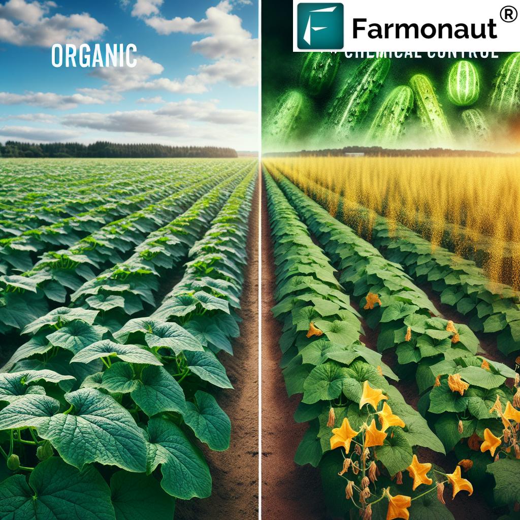
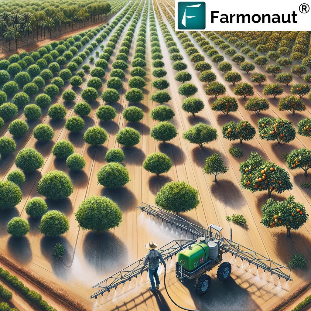
- Targeted Crop Protection: By identifying areas of pest or disease pressure, we enable farmers to apply crop protection products only where needed, reducing overall chemical use.
- Soil Fertility Mapping: Our detailed soil maps help farmers understand the fertility levels across their fields, allowing for tailored fertilization strategies.
- Nutrient Management: We provide recommendations for balanced nutrient application, ensuring optimal crop growth while minimizing environmental impact.
- Erosion Control: Our platform helps identify areas prone to erosion, allowing farmers to implement targeted conservation practices.
Streamlining FSA Reporting and Compliance
Dealing with Farm Service Agency (FSA) reporting can be a complex and time-consuming process. Our platform simplifies this task:
- Automated Acreage Reporting: We generate accurate field boundary maps and crop type classifications, streamlining the acreage reporting process.
- Compliance Monitoring: Our system helps track conservation practices and land use, ensuring compliance with FSA regulations.
- Historical Records: We maintain detailed historical records of field activities, making it easier to provide documentation when required.
- Integration with FSA Systems: Our platform is designed to seamlessly integrate with FSA reporting systems, reducing the administrative burden on farmers.
Optimizing Harvesting Strategies
Harvesting is a critical phase in the farming cycle, and our platform provides valuable insights to optimize this process:
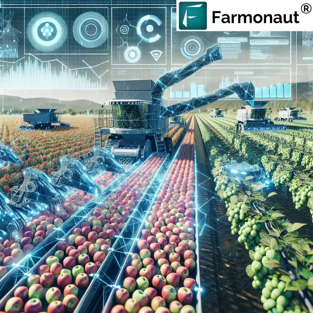
- Harvest Timing: By analyzing crop maturity data and weather forecasts, we help farmers determine the optimal time for harvesting.
- Yield Mapping: Our technology creates detailed yield maps, helping farmers understand productivity variations across their fields.
- Equipment Optimization: We provide recommendations for efficient harvesting routes and equipment settings based on field conditions and crop characteristics.
- Post-harvest Analysis: Our platform offers tools for analyzing harvesting data, helping farmers refine their strategies for future seasons.
Empowering Agronomists with Advanced Tools
Agronomists play a crucial role in modern agriculture, and our platform provides them with powerful tools to enhance their effectiveness:
- Comprehensive Field Analysis: Our platform offers agronomists a holistic view of field conditions, crop health, and historical data.
- Custom Advisory Tools: We provide customizable tools for generating tailored recommendations based on specific crop and field conditions.
- Collaboration Features: Our platform facilitates seamless communication between agronomists and farmers, enabling real-time sharing of insights and recommendations.
- Research Support: We offer advanced analytics capabilities to support agronomic research and experimentation.
Navigating Commodity Markets with Data-Driven Insights
Understanding and navigating commodity markets is essential for maximizing farm profitability. Our platform provides valuable insights in this area:
- Yield Forecasting: Our accurate yield predictions help farmers make informed decisions about when and how much to sell.
- Market Trend Analysis: We integrate market data with our agricultural insights to help farmers understand broader trends affecting commodity prices.
- Storage Optimization: Our platform provides recommendations on optimal storage strategies based on crop conditions and market forecasts.
- Risk Management: We offer tools to help farmers assess and manage market risks, including recommendations for hedging strategies.
The Future of Farming: Integrating AI and Machine Learning
As we look to the future, artificial intelligence (AI) and machine learning are set to play an increasingly important role in agriculture. Here’s how we’re integrating these technologies:
- Predictive Analytics: Our AI models analyze vast amounts of data to predict future trends in crop health, yield, and market conditions.
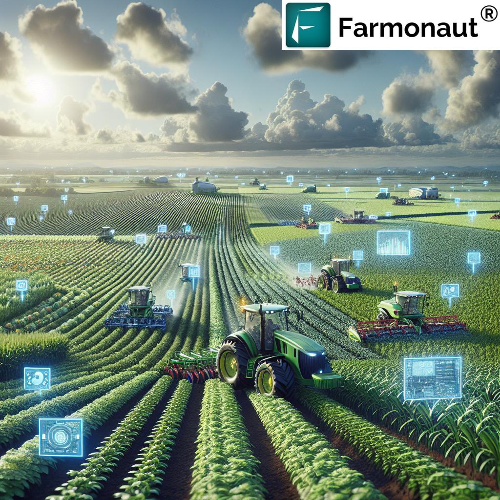
- Automated Decision Support: We’re developing AI-powered systems that can provide real-time recommendations for farm management decisions.
- Image Recognition: Advanced machine learning algorithms are improving our ability to detect and classify crop diseases, pests, and weeds from satellite and drone imagery.
- Personalized Farming Plans: Our AI systems are working towards creating tailored farming plans based on each farm’s unique characteristics and the farmer’s goals.
Sustainable Agriculture: Balancing Productivity and Environmental Stewardship
At Farmonaut, we recognize the importance of sustainable farming practices. Our platform is designed to help farmers increase productivity while minimizing their environmental impact:
- Resource Efficiency: By optimizing input use, we help reduce waste and minimize the environmental footprint of farming operations.
- Soil Health Monitoring: Our platform tracks soil health indicators, helping farmers maintain and improve soil quality over time.
- Water Conservation: We provide insights for efficient irrigation practices, helping conserve this precious resource.
- Carbon Footprint Reduction: Our recommendations for reduced tillage and optimized input use contribute to lowering the carbon footprint of farming operations.
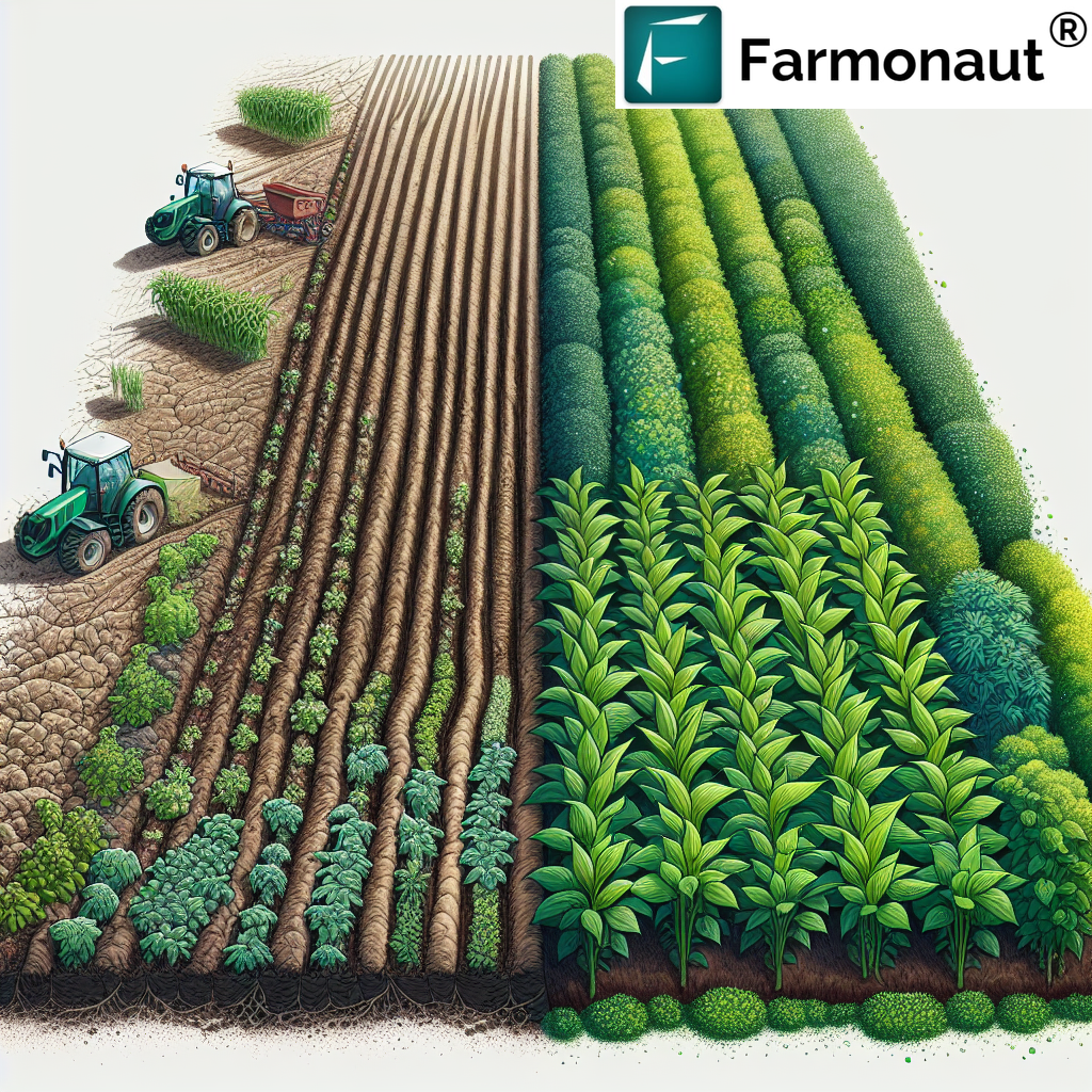
Comparing Farmonaut with Traditional Farming Methods
To illustrate the transformative impact of our technology, let’s compare Farmonaut’s approach with traditional farming methods:
| Aspect | Traditional Farming | Farmonaut System |
|---|---|---|
| Crop Health Monitoring | Visual inspection, periodic scouting | Continuous satellite-based monitoring, AI-powered analysis |
| Field Mapping | Manual mapping, often inaccurate | High-precision satellite imagery-based mapping |
| Input Optimization | Uniform application across fields | Variable rate prescriptions based on precise field data |
| Climate Data Integration | Reliance on local weather reports | Advanced climate modeling and prediction |
| Yield Prediction | Based on historical averages and visual estimation | AI-powered predictions using multiple data points |
| Variable Rate Prescriptions | Not available or limited | Precise, data-driven prescriptions for inputs |
| FSA Reporting | Manual, time-consuming process | Automated, accurate reporting based on satellite data |
| Resource Allocation | Based on experience and general guidelines | Data-driven, optimized allocation of all resources |
| Decision-Making Process | Intuition and experience-based | Data-driven, supported by AI insights |
| Overall Efficiency | Variable, dependent on individual expertise | Consistently high, leveraging technology and data |
Getting Started with Farmonaut
Ready to revolutionize your farming practices? Here’s how you can get started with Farmonaut:
- Download Our App: Access our powerful tools right from your smartphone. Available on both Android and iOS.
- Explore Our Web Platform: For more advanced features and detailed analysis, check out our web application.
- API Integration: For developers and businesses looking to integrate our data into their systems, explore our API options.
- Custom Solutions: Need a tailored solution? Contact our team to discuss how we can meet your specific needs.
Frequently Asked Questions (FAQ)
Q: How accurate is Farmonaut’s satellite imagery analysis?
A: Our satellite imagery analysis is highly accurate, with a typical margin of error of less than 5%. We use multiple satellite sources and advanced AI algorithms to ensure the highest possible accuracy.
Q: Can Farmonaut’s system work for small farms?
A: Absolutely! Our system is scalable and can provide valuable insights for farms of all sizes, from small family operations to large commercial enterprises.
Q: How often is the satellite imagery updated?
A: The frequency of updates depends on the subscription plan, but we typically provide new imagery every 3-5 days, weather permitting.
Q: Is internet connectivity required to use Farmonaut in the field?
A: While an internet connection provides the most up-to-date information, our mobile app can store essential data for offline use in areas with limited connectivity.
Q: How does Farmonaut ensure data security and privacy?
A: We take data security very seriously. All data is encrypted, and we adhere to strict privacy policies to ensure that your farm data remains confidential and secure.
Subscribe to Farmonaut
Ready to transform your farming operations? Subscribe to Farmonaut today and start harnessing the power of precision agriculture:
Conclusion: Embracing the Future of Agriculture
As we navigate the challenges of modern agriculture, from climate change to resource scarcity, the role of precision farming technologies becomes increasingly crucial. At Farmonaut, we’re committed to providing farmers, agronomists, and agricultural businesses with the tools they need to thrive in this new era.
By harnessing the power of satellite imagery, climate data, and advanced analytics, we’re not just optimizing crop production and field health – we’re paving the way for a more sustainable, efficient, and productive agricultural future. Whether you’re managing a small family farm or overseeing vast agricultural operations, our platform offers the insights and tools you need to make informed decisions, reduce costs, and maximize yields.
As we continue to innovate and expand our capabilities, we invite you to join us on this journey towards smarter, more sustainable farming. Together, we can revolutionize agriculture and ensure a bountiful future for generations to come.
Ready to take your farming to the next level? Get started with Farmonaut today and experience the power of precision agriculture firsthand.


