Revolutionizing Agriculture: How Satellite Crop Monitoring and Remote Sensing Are Transforming Farming in Africa
“Satellite crop monitoring can analyze up to 500,000 hectares of farmland in a single day, revolutionizing large-scale agriculture.”
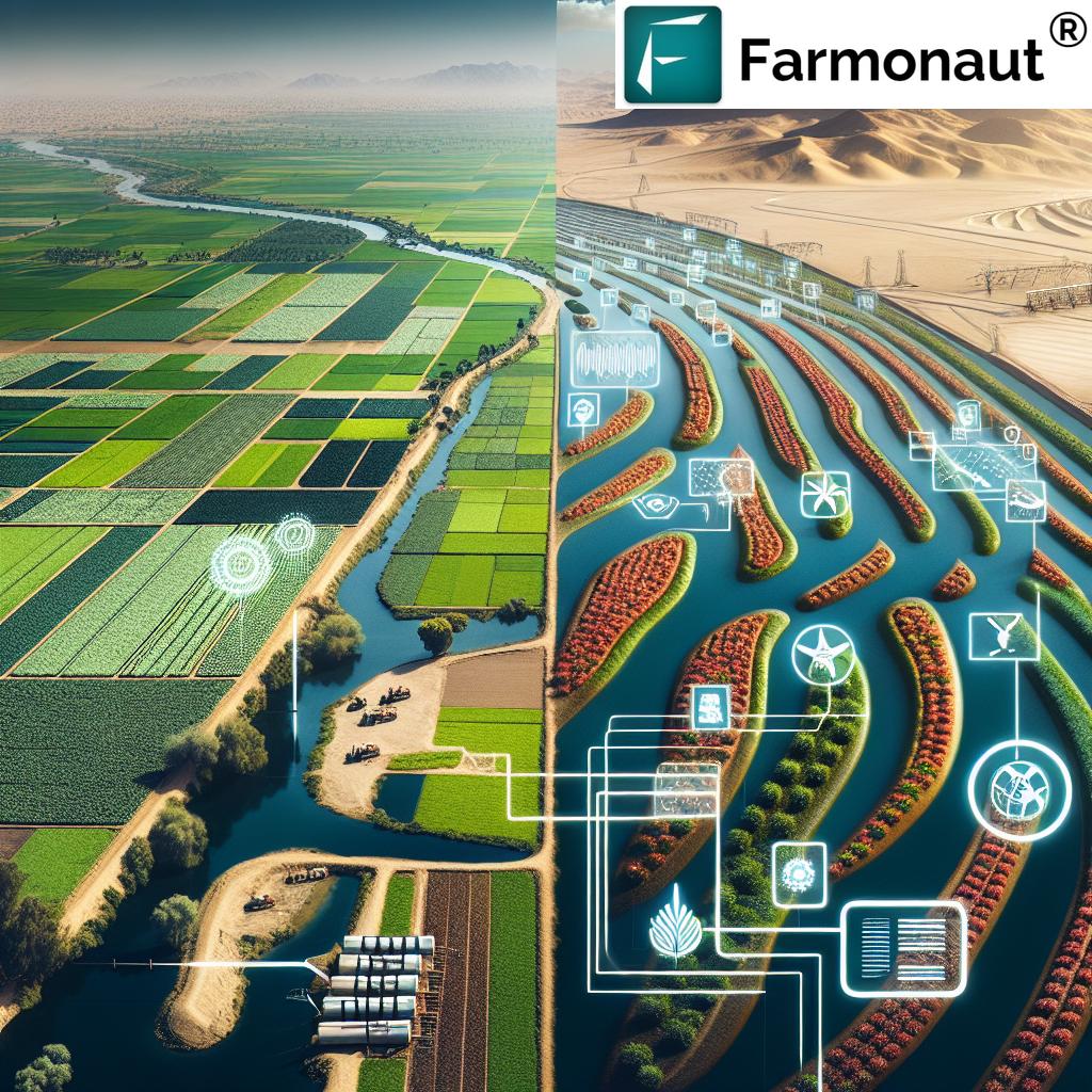
In the heart of Africa, a quiet revolution is taking place. As the continent grapples with the challenges of feeding its growing population and adapting to climate change, an unexpected ally has emerged from the stars above. Satellite crop monitoring and remote sensing technologies are transforming the face of African agriculture, ushering in an era of precision farming that was once thought impossible in this diverse and complex landscape.
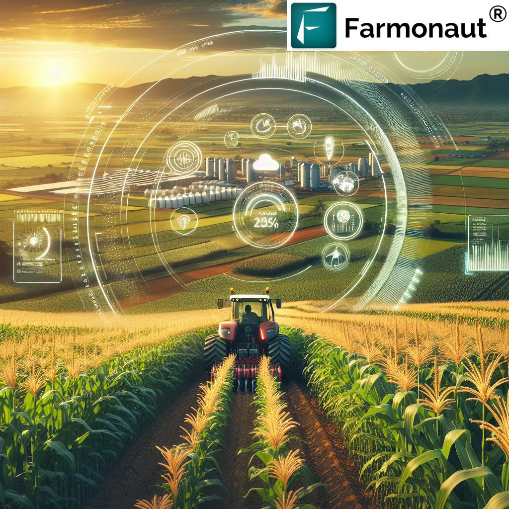
We at Farmonaut are at the forefront of this agricultural revolution, leveraging cutting-edge satellite technology to empower farmers across Africa and beyond. Our mission is to make precision agriculture accessible and affordable, bridging the gap between traditional farming practices and the digital age.
The Dawn of Precision Agriculture in Africa
Africa’s agricultural sector has long been the backbone of its economy, employing over 60% of the continent’s population. However, it has also faced numerous challenges, from unpredictable weather patterns to limited access to modern farming techniques. Enter satellite crop monitoring and remote sensing in agriculture – technologies that are rapidly changing the game.
Precision agriculture technology, powered by satellite imagery and Earth observation data, is providing African farmers with unprecedented insights into their crops and land. From the vast savannas of East Africa to the lush forests of the Congo Basin, these technologies are helping farmers make data-driven decisions that optimize yields, conserve resources, and adapt to changing climatic conditions.
The Power of Vegetation Index Mapping
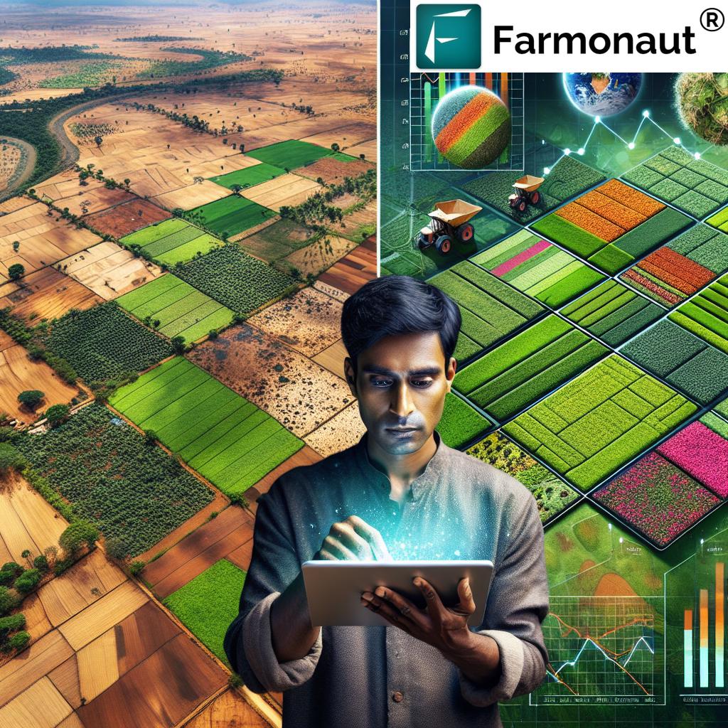
One of the most powerful tools in the satellite crop monitoring arsenal is vegetation index mapping. This technique uses multispectral satellite images to assess crop health and vigor across vast areas. The most commonly used index is the Normalized Difference Vegetation Index (NDVI), which measures the difference between near-infrared light (which healthy vegetation strongly reflects) and red light (which vegetation absorbs).
In Africa, where traditional field surveys can be time-consuming and costly, vegetation index mapping is a game-changer. It allows farmers and agricultural experts to:
- Detect early signs of crop stress
- Identify areas of poor growth or potential disease outbreaks
- Optimize irrigation and fertilizer application
- Monitor crop development throughout the growing season
By leveraging this technology, African farmers can make informed decisions that lead to improved crop yields and more efficient use of resources.
Crop Growth Analysis: A New Perspective
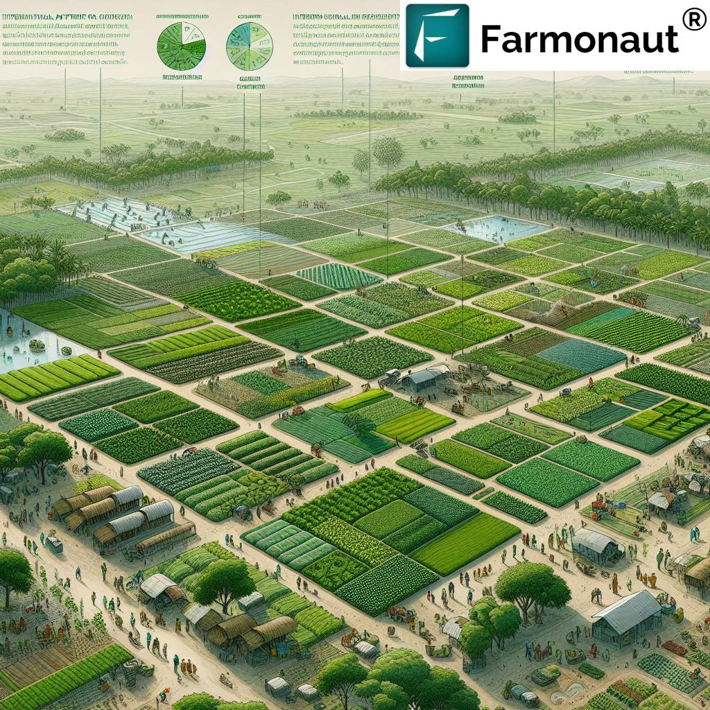
Satellite-based crop growth analysis is providing African farmers with a bird’s-eye view of their fields, quite literally. This technology allows for the monitoring of crop development stages, from planting to harvest, across entire regions. By analyzing time-series satellite imagery, we can track changes in crop health, estimate biomass, and even predict yields with increasing accuracy.
For example, in countries like Kenya and Ethiopia, where smallholder farmers dominate the agricultural landscape, crop growth analysis is helping to:
- Identify areas of crop failure early, allowing for timely interventions
- Assess the impact of different farming practices on crop performance
- Provide valuable data for agricultural planning and policy-making
This level of insight was once the preserve of large commercial farms. Now, thanks to platforms like Farmonaut, it’s becoming accessible to farmers of all scales across Africa.
Combating Climate Change with Agritech Solutions
Climate change poses a significant threat to African agriculture, with shifting rainfall patterns, increased temperatures, and more frequent extreme weather events. Satellite crop monitoring and remote sensing technologies are proving to be powerful tools in the fight against these challenges.
Farmonaut’s platform, for instance, integrates satellite imagery with AI-driven analytics to provide farmers with:
- Real-time weather forecasts and alerts
- Drought early warning systems
- Soil moisture analysis
- Recommendations for climate-smart farming practices
By harnessing these agritech solutions, African farmers can better prepare for and adapt to the impacts of climate change, ensuring food security for future generations.
Explore our advanced satellite-based farm management solutions: 
Agricultural Data Visualization: Empowering Decision-Making
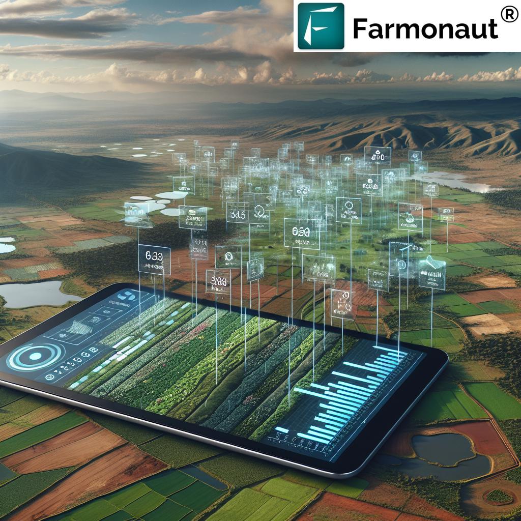
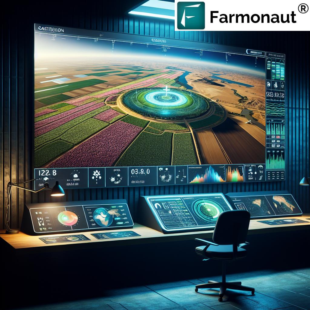
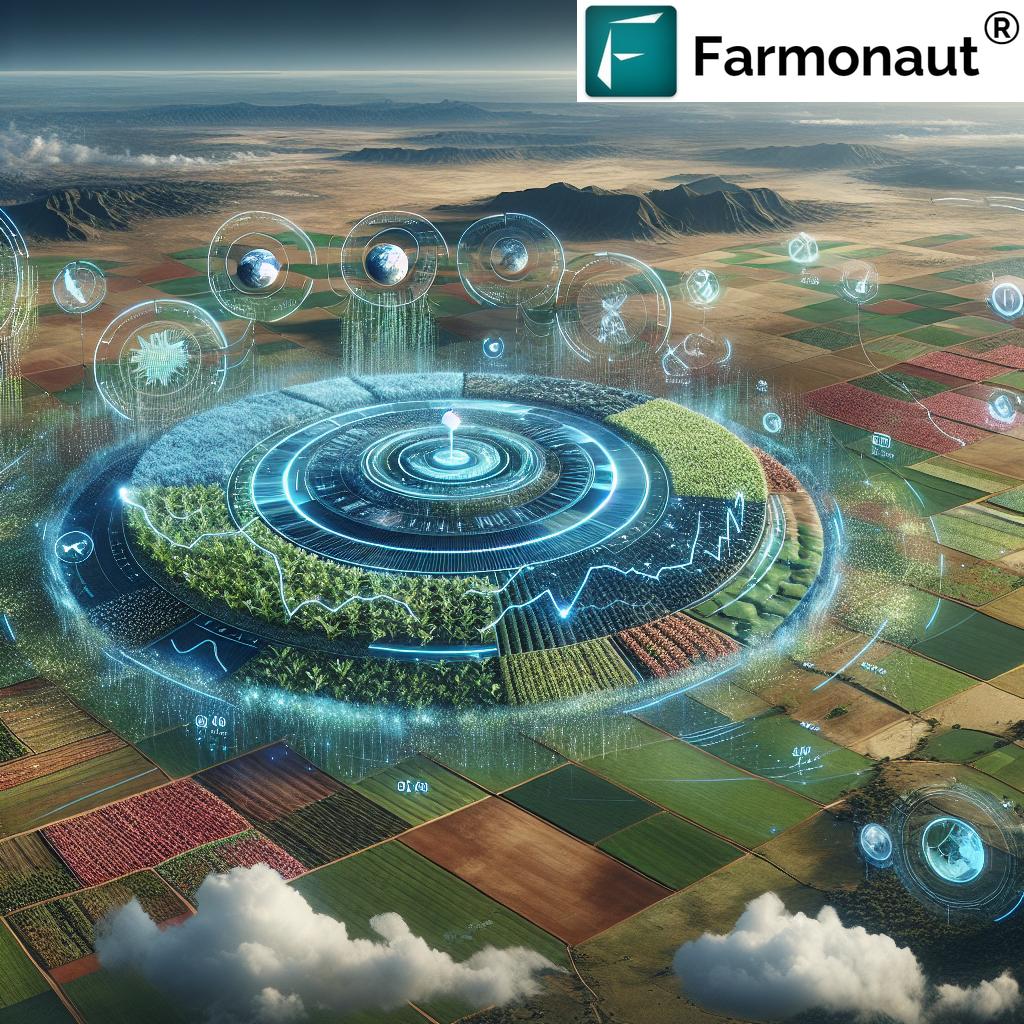
The power of satellite crop monitoring lies not just in data collection, but in how that data is presented and interpreted. Agricultural data visualization tools are transforming raw satellite imagery and complex datasets into easily understandable maps, charts, and graphs.
In Africa, where literacy rates and access to technology can vary widely, effective data visualization is crucial. It allows farmers, extension workers, and policymakers to:
- Quickly identify areas of concern in crop health
- Track changes in land use and agricultural productivity over time
- Make informed decisions about resource allocation and intervention strategies
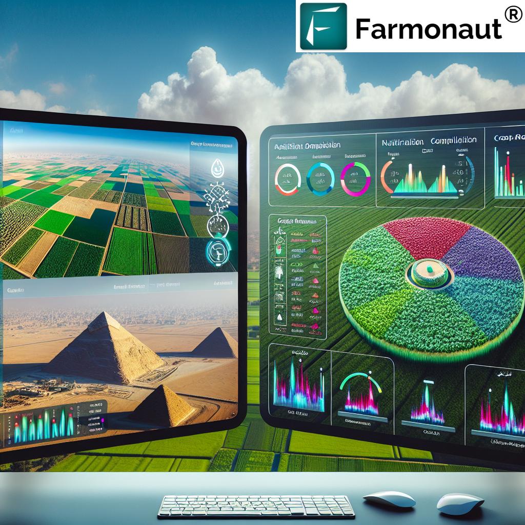
Farmonaut’s platform offers intuitive data visualization tools that make it easy for users of all backgrounds to interpret and act on the insights provided by satellite crop monitoring.
Sustainable Farming Practices: A Satellite-Guided Approach
Sustainability is at the heart of Africa’s agricultural future, and satellite crop monitoring is playing a crucial role in promoting sustainable farming practices. By providing detailed insights into crop health, soil conditions, and water availability, these technologies are enabling farmers to:
- Optimize resource use, reducing waste and environmental impact
- Implement precision agriculture techniques for targeted interventions
- Monitor and reduce deforestation associated with agricultural expansion
- Track the effectiveness of conservation agriculture practices
For example, in countries like Ghana and Côte d’Ivoire, satellite monitoring is helping cocoa farmers implement more sustainable practices, preserving forests while improving yields.
“Remote sensing technologies have increased crop yield predictions accuracy by up to 90% in some African regions.”
The Role of Satellite Imagery in Precision Agriculture
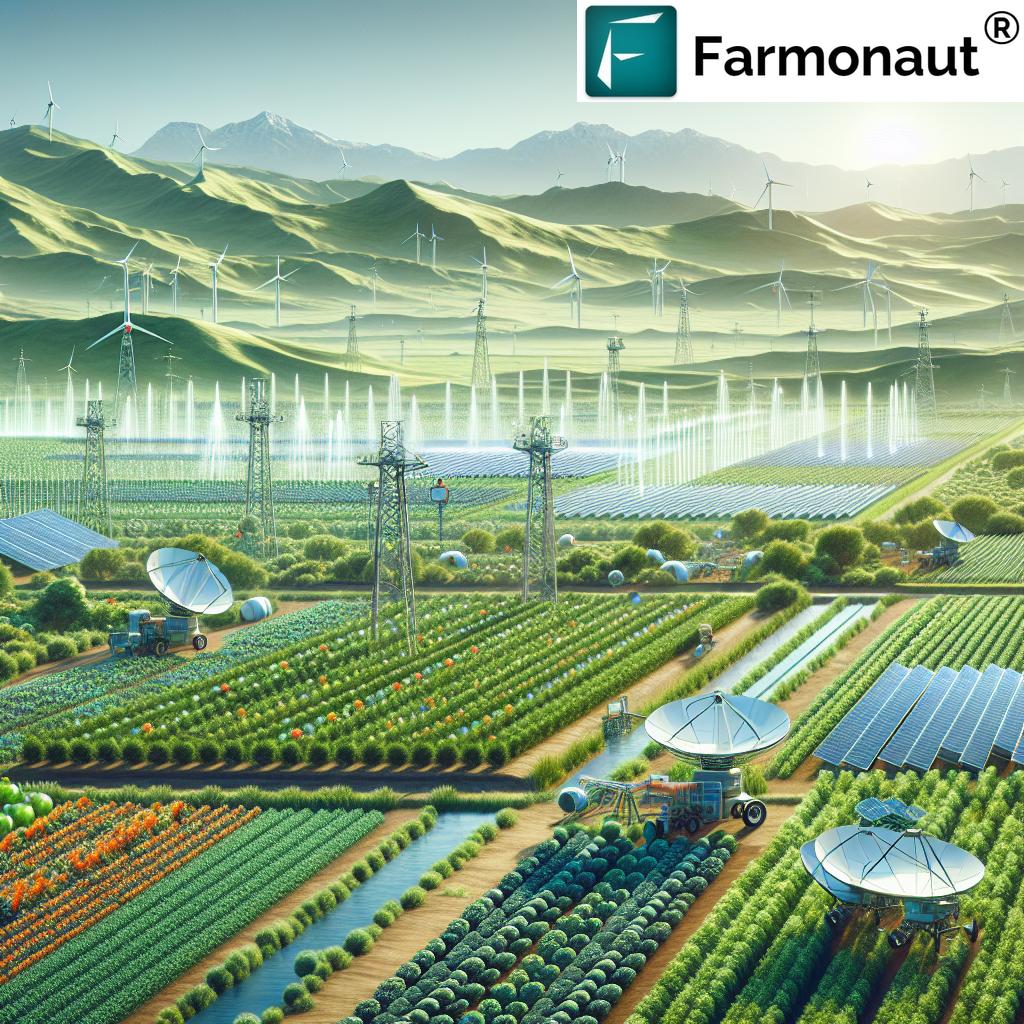
Satellite imagery is the cornerstone of precision agriculture in Africa. High-resolution images from satellites like Sentinel and Landsat provide a wealth of information about crop conditions, soil moisture, and land use patterns. This imagery, combined with advanced analytics, allows for:
- Precise crop area estimation
- Early detection of pest and disease outbreaks
- Monitoring of crop residue and tillage practices
- Assessment of flood and drought impacts
Farmonaut’s platform leverages multiple satellite sources to provide comprehensive, up-to-date imagery for our users. This ensures that farmers have access to the most recent and relevant data for their decision-making processes.
Access our satellite and weather data API for custom applications: Farmonaut API
Water Stress Detection and Management
Water scarcity is a pressing issue in many parts of Africa, making efficient water management crucial for agricultural sustainability. Satellite crop monitoring offers powerful tools for water stress detection and management, including:
- Vegetation index analysis to identify areas of water stress
- Soil moisture mapping to optimize irrigation schedules
- Evapotranspiration monitoring to assess crop water use
- Flood and drought risk assessment
By leveraging these technologies, African farmers can make more informed decisions about water use, improving crop resilience and conserving this precious resource.
Soil Moisture Analysis: The Foundation of Healthy Crops
Soil moisture is a critical factor in crop health and productivity. Traditional methods of soil moisture measurement are often labor-intensive and provide only localized data. Satellite-based soil moisture analysis, on the other hand, offers a comprehensive view of moisture conditions across entire fields or regions.
In Africa, where rainfall patterns can be erratic and drought is a constant threat, this technology is invaluable. It allows farmers to:
- Optimize planting and harvesting times based on soil moisture conditions
- Identify areas prone to waterlogging or drought stress
- Improve irrigation efficiency by targeting water application
- Monitor the effectiveness of soil conservation practices
Farmonaut’s platform integrates soil moisture data with other satellite-derived insights, providing a holistic view of field conditions to support informed decision-making.
Try our mobile app for on-the-go farm management:


Adapting to Changing Environmental Conditions
The ability to adapt to changing environmental conditions is crucial for the future of African agriculture. Satellite crop monitoring and remote sensing technologies are providing farmers with the tools they need to navigate these challenges. By analyzing long-term trends in vegetation health, rainfall patterns, and temperature changes, we can help farmers:
- Identify shifts in growing seasons and adjust planting schedules
- Select crop varieties better suited to changing conditions
- Implement adaptive management strategies to mitigate climate risks
- Plan for long-term sustainability in the face of environmental change
This adaptive approach is essential for ensuring food security and agricultural resilience across the continent.
The Future of Satellite Crop Monitoring in Africa
As we look to the future, the potential for satellite crop monitoring and remote sensing in African agriculture is immense. Emerging technologies and trends that will shape this future include:
- Integration of AI and machine learning for more accurate predictions and insights
- Increased use of drones for high-resolution, on-demand imagery
- Development of specialized indices for specific crops and conditions
- Improved data accessibility through mobile applications and cloud computing
- Enhanced integration with IoT devices for real-time field monitoring
At Farmonaut, we’re committed to staying at the forefront of these developments, continuously improving our platform to meet the evolving needs of African farmers and agricultural stakeholders.
Satellite Crop Monitoring: Impact on African Agriculture
| Agricultural Challenge | Traditional Method | Satellite Monitoring Solution | Estimated Impact |
|---|---|---|---|
| Water Management | Manual field inspections | Vegetation index mapping for water stress detection | 20-30% water savings |
| Pest Detection | Visual scouting | Early detection through spectral analysis | 40-50% reduction in crop losses |
| Yield Prediction | Historical data and sampling | AI-powered analysis of satellite imagery | Up to 90% accuracy in yield forecasts |
| Climate Change Adaptation | Reactive measures | Predictive modeling and trend analysis | 30-40% increase in climate resilience |
Conclusion: A New Era for African Agriculture
The integration of satellite crop monitoring and remote sensing technologies into African agriculture marks the beginning of a new era. These tools are empowering farmers, from smallholders to large-scale operations, with the insights they need to make informed decisions, increase productivity, and adapt to changing environmental conditions.
As we at Farmonaut continue to develop and refine our satellite-based farm management solutions, we’re excited about the potential to transform agriculture across Africa and beyond. By making precision agriculture accessible and affordable, we’re contributing to a future where sustainable farming practices and food security go hand in hand.
The revolution in African agriculture is well underway, guided by the watchful eyes of satellites and the innovative spirit of farmers and technologists alike. As we look to the stars for answers, we’re finding new ways to nurture the earth beneath our feet, ensuring a bountiful harvest for generations to come.
FAQs
- What is satellite crop monitoring?
Satellite crop monitoring uses images and data from satellites to assess crop health, growth, and field conditions over large areas, providing farmers with valuable insights for decision-making. - How does remote sensing benefit African farmers?
Remote sensing provides African farmers with access to detailed information about their crops and land, helping them optimize resource use, detect issues early, and adapt to changing conditions. - Can satellite monitoring really improve crop yields?
Yes, by providing timely information on crop health, soil moisture, and potential threats, satellite monitoring can help farmers make decisions that significantly improve crop yields. - Is satellite crop monitoring affordable for small-scale farmers?
Platforms like Farmonaut are making satellite crop monitoring more accessible and affordable, even for small-scale farmers in Africa. - How does satellite monitoring help with climate change adaptation?
Satellite monitoring provides data on long-term climate trends and short-term weather patterns, helping farmers adapt their practices to changing conditions and increase resilience.


