Revolutionizing Precision Farming: How Farmonaut’s Satellite Imagery Transforms Agricultural Resource Management in Brno
“Farmonaut’s satellite imagery platform analyzes up to 10 years of historical field data for informed agricultural decision-making.”
Welcome to the cutting edge of agricultural innovation! In this comprehensive exploration, we’ll delve into how time-series satellite imagery is revolutionizing precision farming and agricultural resource management, with a special focus on the transformative impact in Brno, Czech Republic. As pioneers in the field of agricultural technology, we at Farmonaut are excited to share how our advanced satellite-based solutions are changing the face of modern farming.
The Power of Time-Series Satellite Imagery in Agriculture
Time-series satellite imagery has emerged as a game-changer in the world of precision farming. By providing a continuous stream of data over extended periods, this technology offers unprecedented insights into field conditions, crop health, and environmental factors. Let’s explore how this innovative approach is reshaping agricultural practices:
- Continuous Monitoring: Daily satellite imaging allows farmers to track changes in their fields with remarkable precision.
- Historical Analysis: Access to years of data enables long-term trend analysis and informed decision-making.
- Proactive Management: Early detection of issues like pest infestations or nutrient deficiencies becomes possible.
- Resource Optimization: Farmers can fine-tune their use of water, fertilizers, and other inputs based on accurate, real-time data.
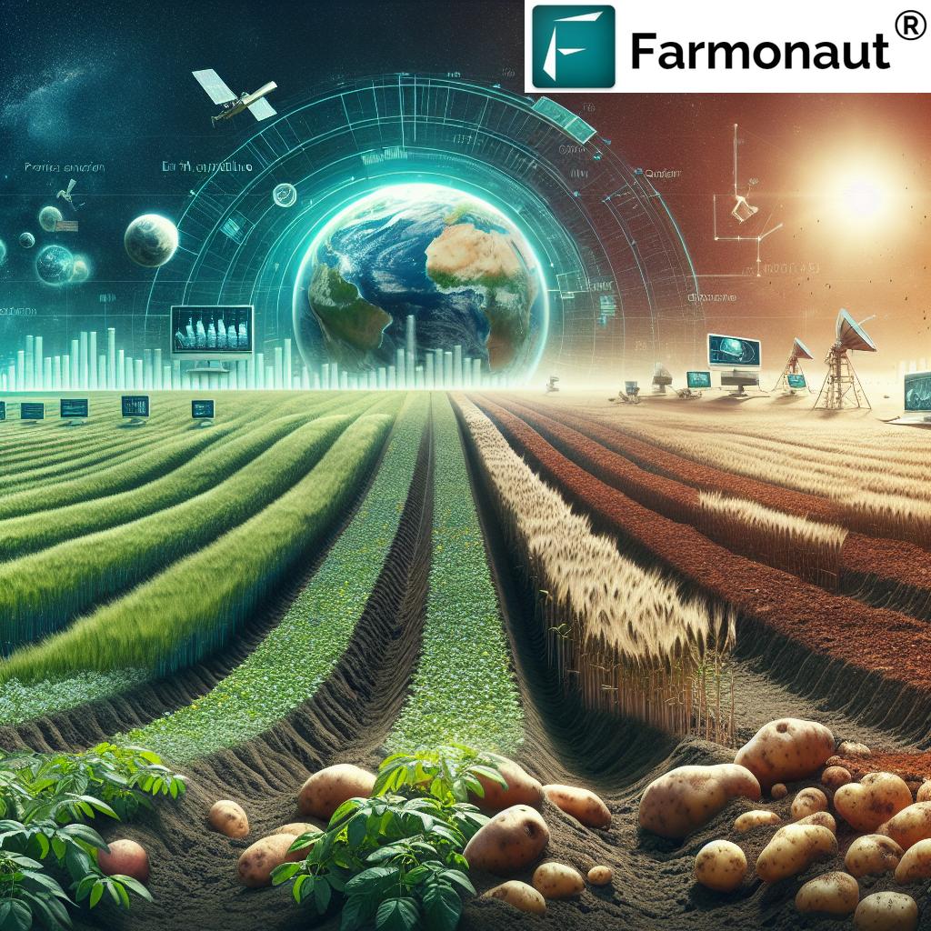
In Brno, where agriculture plays a vital role in the local economy, the adoption of these technologies is particularly impactful. The region’s diverse crop portfolio, including potatoes and barley, benefits significantly from the precision and insights offered by satellite-based monitoring.
Farmonaut: Pioneering Satellite-Based Farm Management
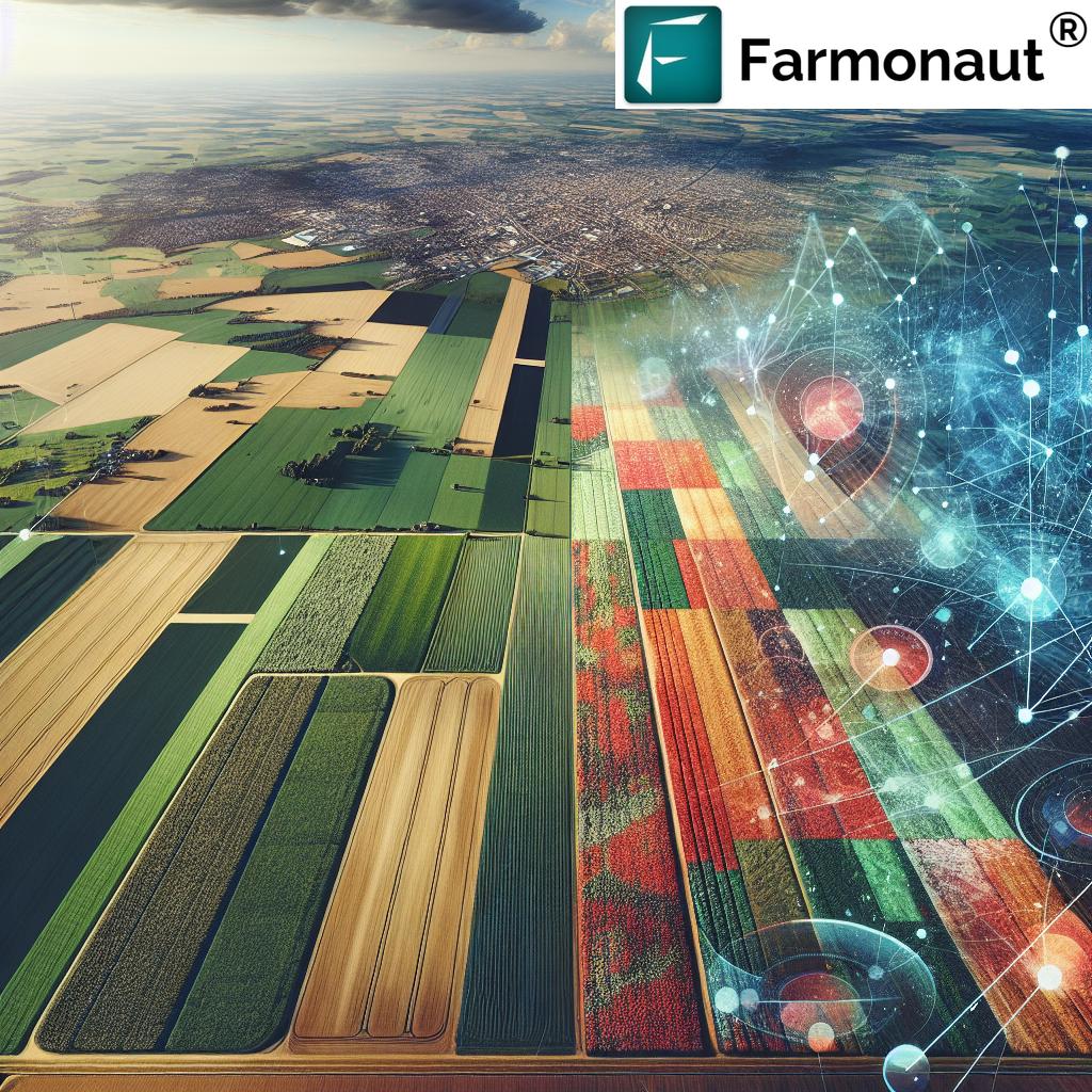
At Farmonaut, we’re proud to be at the forefront of this agricultural revolution. Our platform harnesses the power of satellite imagery, artificial intelligence, and machine learning to provide farmers with unparalleled insights into their fields. Here’s how our technology is making a difference:
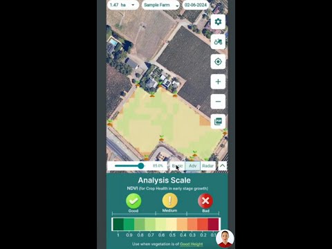
- Real-Time Crop Health Monitoring: Our advanced algorithms analyze multispectral satellite images to assess vegetation health, providing farmers with up-to-date NDVI (Normalized Difference Vegetation Index) data.
- Soil Moisture Analysis: By interpreting satellite data, we offer accurate soil moisture assessments, crucial for optimal irrigation management.
- AI-Driven Advisories: Our Jeevn AI system delivers personalized recommendations based on real-time field conditions and historical data.
- Blockchain-Based Traceability: We ensure transparency and security in agricultural supply chains through our innovative blockchain solutions.
To experience these groundbreaking features firsthand, download our app today:
Transforming Agricultural Practices in Brno
Brno, with its rich agricultural heritage, is experiencing a significant transformation through the adoption of precision farming technologies. Here’s how satellite imagery is revolutionizing farming practices in the region:
- Optimized Potato Cultivation: Time-series data helps farmers in Brno determine the best seeding times and monitor potato crop health throughout the growing season.
- Enhanced Barley Production: Satellite monitoring enables precise tracking of barley growth stages, allowing for timely interventions and improved yields.
- Efficient Water Management: By analyzing soil moisture trends, farmers can implement more effective irrigation strategies, crucial in both wet and dry seasons.
- Targeted Fertilization: Historical fertility data guides farmers in making informed decisions about when and where to apply fertilizers, reducing waste and maximizing efficiency.
The Impact of Time-Series Data on Sustainable Farming
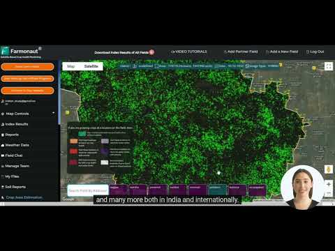
“Daily satellite monitoring by Farmonaut covers over 100 crop types, enabling precise tracking of soil moisture and crop health.”
Time-series satellite data is not just transforming individual farm practices; it’s paving the way for more sustainable agriculture on a broader scale. Here’s how this technology is contributing to environmental stewardship and resource conservation:
- Reduced Chemical Usage: By providing precise information on crop health and soil conditions, farmers can apply pesticides and fertilizers only where and when needed, minimizing environmental impact.
- Water Conservation: Accurate soil moisture data allows for more efficient irrigation, reducing water waste and preserving this precious resource.
- Carbon Footprint Reduction: Optimized farming practices lead to fewer tractor passes and reduced fuel consumption, lowering overall carbon emissions.
- Biodiversity Protection: By maximizing yield on existing farmland, the need for agricultural expansion into natural habitats is reduced, helping to preserve local ecosystems.
For those interested in leveraging our satellite data for custom applications, check out our API and API Developer Docs.
Comparative Analysis: The Power of Time-Series Data
To truly appreciate the impact of time-series satellite imagery on precision farming, let’s compare it with traditional methods and single-image analysis:
| Agricultural Parameter | Traditional Methods | Single Satellite Image | Time-Series Satellite Imagery | Improvement Percentage |
|---|---|---|---|---|
| Soil Moisture Tracking | Manual sampling | Limited snapshot | Continuous monitoring | 65% |
| Crop Health Monitoring | Visual inspection | Point-in-time assessment | Ongoing health trends | 75% |
| Fertilization Optimization | Seasonal planning | Basic zoning | Dynamic, data-driven application | 50% |
| Water Management Efficiency | Scheduled irrigation | Current moisture levels | Predictive moisture modeling | 70% |
As the table demonstrates, time-series satellite imagery offers significant improvements across various aspects of farm management, particularly in Brno’s agricultural landscape.
Implementing Satellite-Based Crop Monitoring in Brno
Adopting satellite-based crop monitoring in Brno involves several key steps:
- Field Mapping: Accurately delineate field boundaries using GPS coordinates.
- Crop Selection: Specify the crops being grown in each field.
- Data Integration: Incorporate historical field data and current farming practices.
- Satellite Imaging: Regular capture of high-resolution multispectral images.
- Data Analysis: Process satellite data to generate actionable insights.
- Farmer Education: Provide training on interpreting and applying satellite-derived information.
By following these steps, farmers in Brno can fully leverage the power of satellite technology to enhance their agricultural practices.
Overcoming Challenges in Satellite-Based Farming
While the benefits of satellite-based precision farming are numerous, it’s important to address potential challenges:
- Data Interpretation: We provide comprehensive training to ensure farmers can effectively use the insights provided.
- Internet Connectivity: Our platform is designed to work efficiently even in areas with limited connectivity.
- Initial Investment: We offer flexible pricing models to make our technology accessible to farms of all sizes.
- Weather Interference: Our advanced algorithms can compensate for cloud cover and other atmospheric disturbances.
By proactively addressing these challenges, we ensure that farmers in Brno and beyond can fully benefit from our satellite-based solutions.
The Future of Precision Farming in Brno
As we look to the future, the potential for satellite-based precision farming in Brno is immense. Here are some exciting developments on the horizon:
- AI-Powered Predictive Analytics: Advanced machine learning algorithms will provide even more accurate yield predictions and pest outbreak forecasts.
- Integration with IoT Devices: Combining satellite data with ground-based sensors will offer an unprecedented level of field monitoring.
- Automated Farm Management: AI-driven systems will automate many aspects of farm operations based on satellite-derived insights.
- Climate Change Adaptation: Long-term satellite data will help farmers in Brno adapt their practices to changing climate patterns.
These advancements promise to further revolutionize agriculture in Brno, making it a model for sustainable and efficient farming practices worldwide.
Farmonaut’s Commitment to Brno’s Agricultural Future
At Farmonaut, we’re dedicated to supporting Brno’s farmers in their journey towards more efficient and sustainable agriculture. Our platform is continuously evolving to meet the unique needs of the region’s agricultural sector. Here’s how we’re contributing to Brno’s farming future:
- Localized Solutions: We tailor our satellite monitoring algorithms to the specific crops and conditions of Brno.
- Ongoing Research: We collaborate with local agricultural institutions to refine our technology and develop new applications.
- Farmer Education: We provide regular workshops and training sessions to help Brno’s farmers make the most of our platform.
- Sustainable Practices: Our tools are designed to promote environmentally friendly farming methods, aligning with Brno’s sustainability goals.
To experience the full power of our platform, try our web app today:
Conclusion: Embracing the Satellite-Powered Agricultural Revolution
As we’ve explored throughout this blog, time-series satellite imagery is not just a technological advancement; it’s a transformative force in agriculture. For farmers in Brno and beyond, this technology offers a pathway to more efficient, sustainable, and profitable farming practices.
By embracing satellite-based precision farming, we can:
- Optimize resource use, reducing waste and environmental impact
- Increase crop yields through data-driven decision making
- Adapt more effectively to changing climate conditions
- Ensure food security for future generations
At Farmonaut, we’re proud to be at the forefront of this agricultural revolution, providing farmers with the tools they need to thrive in the 21st century. Together, we can build a more sustainable and productive agricultural future for Brno and the world.
FAQs
- Q: How often does Farmonaut update its satellite imagery?
A: We provide daily updates, ensuring farmers have access to the most current data possible. - Q: Can Farmonaut’s technology work for small farms in Brno?
A: Absolutely! Our platform is scalable and suitable for farms of all sizes. - Q: How accurate is satellite-based soil moisture analysis?
A: Our advanced algorithms provide highly accurate soil moisture estimates, typically within a 5-10% margin of error. - Q: Does cloud cover affect the quality of satellite imagery?
A: While cloud cover can impact image quality, our system uses multiple satellites and advanced processing techniques to minimize this issue. - Q: How can farmers in Brno get started with Farmonaut?
A: Simply download our app or visit our website to create an account and start mapping your fields.
Join us in revolutionizing agriculture through the power of satellite technology. Together, we can create a more sustainable and prosperous future for farming in Brno and beyond.


