Transforming Agriculture: How Farmonaut’s Satellite Imaging Revolutionizes Precision Farming and Sustainability
“Farmonaut’s satellite imaging platform analyzes over 1 million acres of farmland daily, revolutionizing precision agriculture.”
In the ever-evolving landscape of agriculture, we find ourselves at the cusp of a technological revolution that promises to reshape the way we cultivate our lands and feed our growing population. At the heart of this transformation lies the innovative use of satellite imaging for agriculture, a groundbreaking approach that Farmonaut has pioneered to bring precision farming technology to the forefront of modern agricultural practices.
As we delve into the world of remote sensing in agriculture, we’ll explore how Farmonaut’s cutting-edge platform is changing the game for farmers, agronomists, and policymakers alike. By harnessing the power of earth observation for farming, we’re unlocking new possibilities for sustainable agriculture practices and revolutionizing crop monitoring from space.
The Power of Satellite Imaging in Agriculture
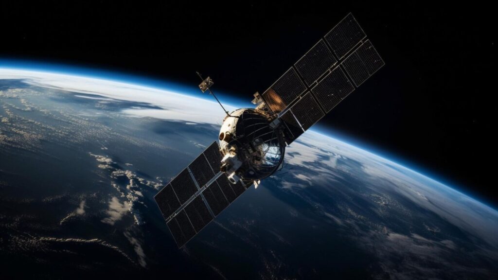
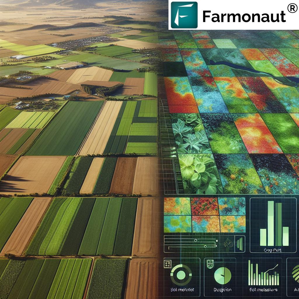
Satellite imaging for agriculture has emerged as a game-changer in the realm of precision farming. By leveraging advanced remote sensing technologies, we can now gain unprecedented insights into crop health, soil conditions, and environmental factors that influence agricultural productivity. This space-based perspective offers a comprehensive view of agricultural landscapes, enabling farmers to make informed decisions based on real-time data.
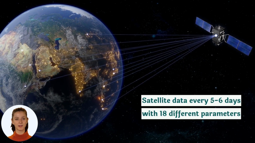
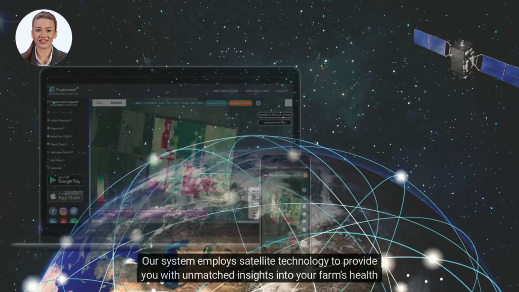
Farmonaut’s platform takes this concept to new heights by integrating state-of-the-art satellite imagery with powerful agricultural data analytics. Our system processes vast amounts of data collected from various satellites orbiting the Earth, including those equipped with hyperspectral imaging capabilities. This allows us to detect subtle variations in crop health and soil properties that would be impossible to discern with the naked eye.
Key Benefits of Satellite-Based Crop Monitoring
- Real-time crop health assessment
- Early detection of pest infestations and diseases
- Optimization of irrigation and fertilizer application
- Accurate yield predictions
- Monitoring of large areas efficiently
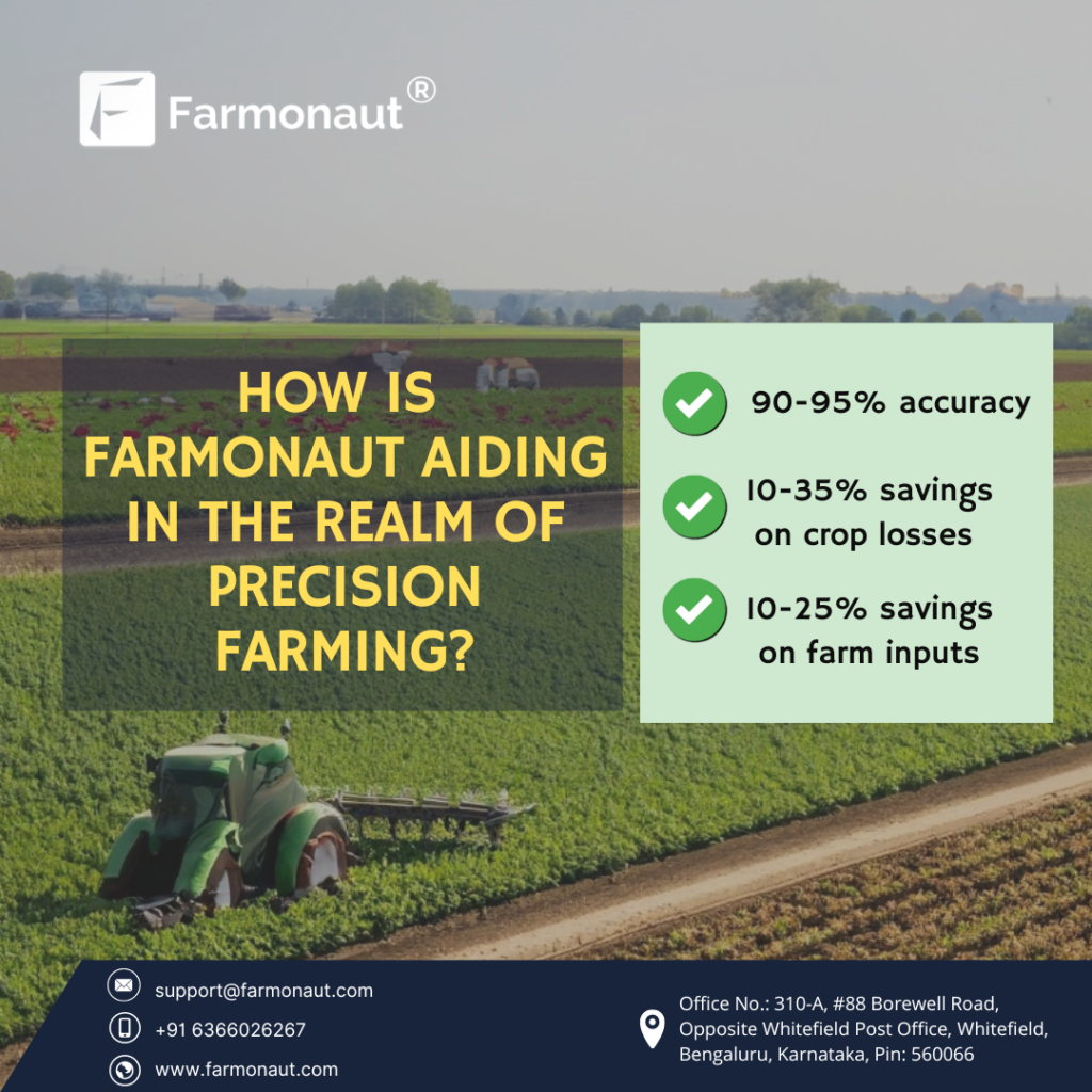
By providing these critical insights, we empower farmers to implement precision farming techniques that maximize yields while minimizing resource usage. This not only improves profitability but also contributes significantly to sustainable agriculture practices.
Farmonaut’s Innovative Approach to Precision Farming
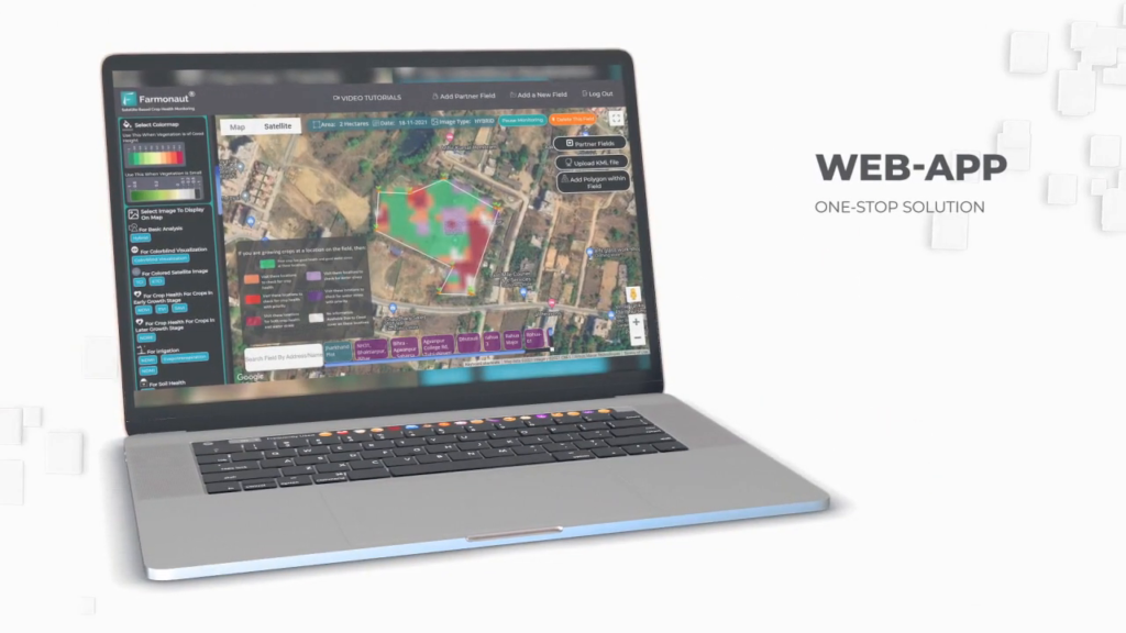
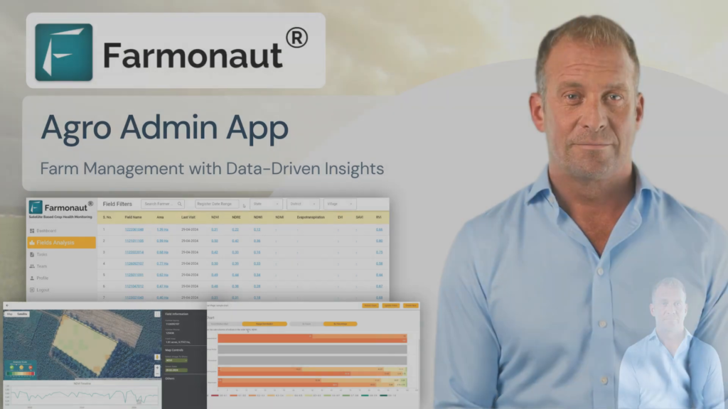
At Farmonaut, we’ve developed a comprehensive platform that combines the power of satellite imagery with advanced analytics to deliver actionable insights to farmers and agricultural professionals. Our system leverages various types of satellite data, including optical and radar imagery, to create a holistic view of agricultural lands.
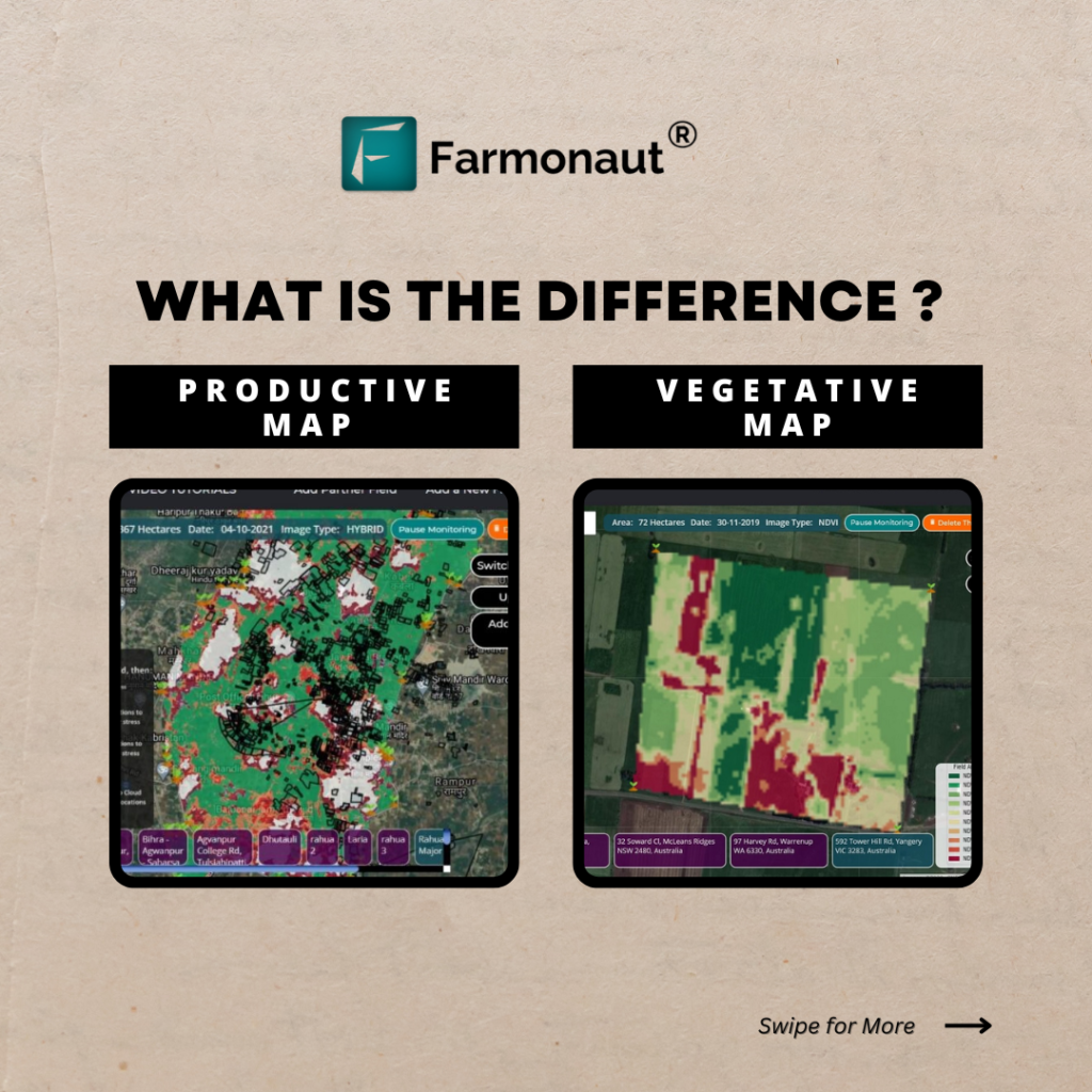
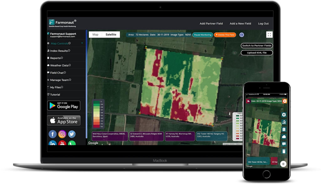
One of the key features of our platform is the use of custom basemaps tailored specifically for agricultural applications. These basemaps provide a foundation for layering various types of data, allowing users to visualize complex information in an intuitive manner. Whether you’re interested in analyzing vegetation indices, soil moisture levels, or crop yield estimates, our platform offers the tools to do so with ease.
Advanced Features of Farmonaut’s Platform
- Hyperspectral imaging analysis
- AI-driven crop health monitoring
- Predictive analytics for yield forecasting
- Integration with IoT devices for ground-truth data
- Customizable alerts and notifications
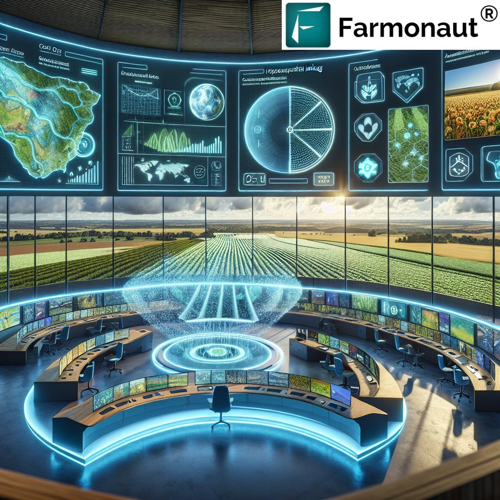
These features work in concert to provide a comprehensive solution for agricultural resource management. By leveraging geospatial analytics in agriculture, we enable users to make data-driven decisions that optimize every aspect of their farming operations.

Revolutionizing Crop Monitoring from Space
The ability to monitor crops from space has revolutionized the way we approach agriculture. Farmonaut’s platform takes full advantage of this technology, offering unprecedented visibility into crop development throughout the growing season. Our satellite-based crop yield prediction models combine historical data with real-time observations to provide accurate forecasts that help farmers plan their harvests and manage their resources more effectively.
Moreover, our system’s ability to detect early signs of stress in crops allows for proactive management of potential issues. Whether it’s a nutrient deficiency, water stress, or the onset of a pest infestation, our platform can alert farmers to problems before they become visible to the naked eye, enabling timely interventions that can save entire harvests.
Applications of Satellite-Based Crop Monitoring
- Precision irrigation management
- Variable rate fertilizer application
- Pest and disease monitoring
- Crop rotation planning
- Assessment of crop damage for insurance claims
By providing these capabilities, we’re not just improving individual farm operations; we’re contributing to the broader goals of food security and sustainable agriculture on a global scale.
“Hyperspectral imaging used by Farmonaut can detect up to 200 distinct spectral bands, providing unparalleled crop health insights.”
Enhancing Sustainability Through Precision Agriculture
Sustainability is at the core of Farmonaut’s mission. We believe that by providing farmers with the tools to optimize their resource use, we can significantly reduce the environmental impact of agriculture while improving productivity. Our platform supports sustainable agriculture practices by enabling precise application of inputs, reducing waste, and minimizing the use of chemicals.
Through our advanced analytics, farmers can identify areas of their fields that require attention, allowing for targeted interventions rather than blanket treatments. This not only reduces costs but also minimizes the ecological footprint of farming operations. Additionally, our system helps in monitoring soil health and biodiversity, crucial aspects of long-term agricultural sustainability.
Sustainable Agriculture Practices Supported by Farmonaut
- Precision nutrient management
- Water conservation through smart irrigation
- Reduced pesticide use through targeted application
- Soil conservation and erosion control
- Carbon footprint reduction strategies
By adopting these practices, farmers can not only improve their yields and profitability but also contribute to global efforts to combat climate change and preserve our planet’s resources for future generations.
Empowering Stakeholders Across the Agricultural Spectrum
Farmonaut’s platform is designed to serve a wide range of stakeholders in the agricultural sector. From individual farmers to large agribusinesses, from local governments to federal agencies, our tools provide valuable insights that drive informed decision-making at every level.
Key Stakeholders Benefiting from Farmonaut’s Technology
- Farmers and farm managers
- Agronomists and crop consultants
- Agricultural researchers and scientists
- Government agencies and policymakers
- Insurance companies and financial institutions
- Agribusiness companies and supply chain managers
For farmers, our platform offers direct benefits in terms of improved crop management and yield optimization. Researchers can leverage our vast datasets to conduct studies on crop performance and climate resilience. Government agencies can use our tools for disaster management in agriculture, assessing crop damage after natural events and planning relief efforts.
Explore Farmonaut’s API | API Developer Docs
The Future of Farming: Integration of Space and Ground Technologies
As we look to the future, the integration of satellite technology with ground-based sensors and artificial intelligence promises to take precision farming to new heights. Farmonaut is at the forefront of this revolution, continuously developing new ways to combine data from various sources to provide even more accurate and actionable insights.
Our research and development efforts focus on areas such as:
- Advanced machine learning algorithms for crop yield prediction
- Integration of drone-based imagery with satellite data
- Development of AI-powered decision support systems
- Blockchain technology for supply chain traceability
- Climate change impact assessment and adaptation strategies
These innovations will further enhance our ability to support sustainable agriculture practices and help farmers adapt to the challenges posed by climate change and increasing global food demand.
Comparative Analysis: Traditional Farming vs. Farmonaut’s Satellite-Powered Precision Farming
| Aspect | Traditional Farming Methods | Farmonaut’s Satellite-Powered Precision Farming |
|---|---|---|
| Crop Monitoring Frequency | Weekly or monthly manual inspections | Daily satellite imagery updates |
| Field Analysis Accuracy | Limited to visual inspection | High-resolution multispectral analysis |
| Resource Management Efficiency | Generalized approach | Targeted, data-driven resource allocation |
| Sustainability Impact | Potential overuse of resources | Optimized resource use, reduced environmental impact |
| Crop Yield Prediction Accuracy | Based on historical data and experience | AI-powered predictions using real-time and historical data |
| Time and Labor Requirements | Labor-intensive field scouting | Automated monitoring, reducing manual labor |
| Cost-Effectiveness | Variable, dependent on labor costs | High ROI through optimized inputs and increased yields |
| Environmental Impact | Potential for overuse of chemicals | Reduced chemical use through precise application |
| Data-Driven Decision Making | Limited, often based on intuition | Comprehensive data analysis for informed decisions |
| Scalability | Challenging for large operations | Easily scalable to manage vast agricultural areas |
This comparison clearly illustrates the transformative impact of Farmonaut’s satellite-powered precision farming technology on modern agriculture. By leveraging advanced satellite imagery and data analytics, we’re able to offer solutions that are not only more efficient and accurate but also more sustainable and scalable than traditional farming methods.
Expanding Horizons: Farmonaut’s Impact Beyond Agriculture
While our primary focus is on revolutionizing agriculture, the applications of Farmonaut’s technology extend far beyond the farm. Our geospatial analytics and earth observation capabilities have found valuable uses in various industries and sectors, including:
- Forestry: Monitoring deforestation and assessing forest health
- Environmental conservation: Tracking biodiversity and habitat changes
- Urban planning: Assessing land use and urban sprawl
- Disaster management: Rapid assessment of flood or fire damage
- Energy sector: Site selection for renewable energy projects
- Maritime industry: Monitoring coastal ecosystems and ship traffic
This versatility demonstrates the power of satellite imaging and data analytics in addressing complex global challenges. By providing actionable insights across multiple domains, we’re contributing to a more sustainable and resilient future for our planet.
Join the Precision Agriculture Revolution with Farmonaut
As we’ve explored throughout this article, the integration of satellite imaging and precision farming technology is transforming agriculture in profound ways. Farmonaut stands at the forefront of this revolution, offering innovative solutions that empower farmers, researchers, and policymakers to make data-driven decisions that enhance productivity, sustainability, and resilience in the face of global challenges.
We invite you to join us in this exciting journey towards a more sustainable and efficient agricultural future. Whether you’re a small-scale farmer looking to optimize your operations, a large agribusiness seeking to implement cutting-edge technology, or a researcher exploring new frontiers in agricultural science, Farmonaut has the tools and expertise to support your goals.
Ready to experience the power of satellite-powered farming? Try Farmonaut today!


Farmonaut Subscription Plans
Frequently Asked Questions
Q: How accurate is satellite-based crop monitoring?
A: Satellite-based crop monitoring can be highly accurate, with resolution down to 3 meters in some cases. Farmonaut’s platform combines multiple data sources and advanced analytics to provide insights with over 90% accuracy in many applications.
Q: Can Farmonaut’s technology be used for small farms?
A: Absolutely! Our platform is designed to be scalable and accessible to farms of all sizes. We offer solutions tailored to the needs of small-scale farmers, making precision agriculture technology affordable and easy to use.
Q: How often is the satellite imagery updated?
A: The frequency of updates depends on the specific service and satellite constellation used. In general, we provide updates every 1-5 days, ensuring that farmers have access to timely and relevant data throughout the growing season.
Q: Does Farmonaut offer integration with other farm management systems?
A: Yes, we offer API access that allows for integration with various farm management systems and software. This enables seamless incorporation of our satellite data and analytics into existing workflows.
Q: How does Farmonaut contribute to sustainable agriculture?
A: By providing precise insights into crop health and resource needs, our technology enables farmers to optimize their use of water, fertilizers, and pesticides. This leads to reduced environmental impact, improved soil health, and more sustainable farming practices overall.
As we conclude this exploration of Farmonaut’s revolutionary approach to precision farming and sustainability, we hope you’re inspired by the possibilities that satellite imaging for agriculture presents. The future of farming is here, and it’s powered by the view from space. Join us in transforming agriculture, one pixel at a time.


