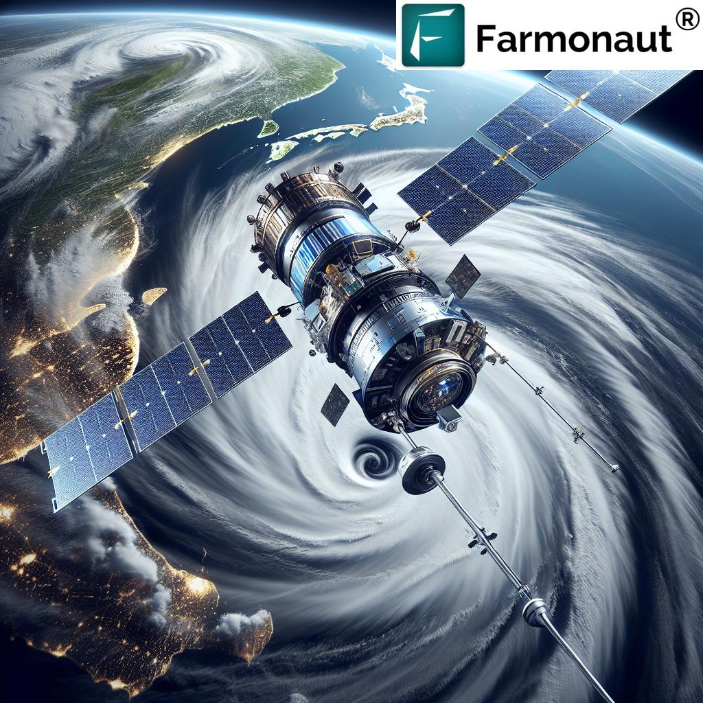
Revolutionizing Weather Forecasting: Japan’s Advanced Satellite Technology for Extreme Weather Prediction and Disaster Monitoring
“Japan’s new satellite can measure atmospheric temperature and humidity with unprecedented accuracy, improving weather forecasts by up to 30%.”
In the ever-evolving landscape of meteorological technology, we are witnessing a groundbreaking leap forward in our ability to predict and monitor extreme weather events. At the forefront of this revolution is Japan’s latest advanced satellite weather technology, set to transform the way we forecast and respond to natural disasters. As experts in agricultural technology and remote sensing, we at Farmonaut recognize the immense potential of these advancements for enhancing global weather prediction capabilities and improving disaster preparedness.

The Dawn of a New Era in Meteorological Satellites
On January 9, 2025, L3Harris Technologies announced a significant milestone in the development of Japan’s next-generation geostationary meteorological satellite, Himawari-10. This advanced satellite marks a new chapter in space-based weather monitoring, promising to deliver unprecedented precision in weather forecasting and disaster monitoring systems.
The successful completion of the Preliminary Design Review (PDR) for key components of the Himawari-10 satellite signifies a major step forward in enhancing our ability to predict and respond to extreme weather events, particularly typhoons, across Japan and the broader Asia-Pacific region.
Cutting-Edge Instruments for Unparalleled Accuracy
At the heart of this technological marvel are two critical instruments:
- Advanced Imager: Based on L3Harris’ proven Advanced Baseline Imager technology, this instrument has been customized with specific spectral bands to meet Japan’s unique weather forecasting needs while aligning with international meteorological standards.
- Hyperspectral Infrared Sounder: This state-of-the-art device enables the acquisition of three-dimensional atmospheric measurements, providing more precise data on temperature and humidity than ever before.
These sophisticated tools are set to revolutionize the accuracy of weather predictions, which is crucial for effective disaster monitoring and timely warning systems.
Unprecedented Atmospheric Measurements
The hyperspectral infrared sounder on Himawari-10 represents a quantum leap in our ability to measure atmospheric conditions. By providing detailed, three-dimensional data on temperature and humidity, this instrument will enable meteorologists to create more accurate weather forecasts and issue more timely and precise warnings about potential weather-related hazards.
“The advanced imager on Japan’s new meteorological satellite utilizes over 16 customized spectral bands for precise typhoon prediction and disaster monitoring.”
Customized Spectral Bands for Japan’s Unique Needs
One of the most innovative aspects of the Himawari-10 satellite is its customized spectral bands. These bands have been specifically designed to address Japan’s particular meteorological challenges while also meeting international standards. This tailored approach ensures that the satellite will be exceptionally effective in monitoring and predicting weather patterns unique to Japan and the surrounding region.
Enhancing Typhoon Prediction and Real-Time Disaster Response
One of the primary objectives of the Himawari-10 satellite is to improve typhoon prediction capabilities. With its advanced imager and hyperspectral infrared sounder, the satellite will provide meteorologists with more detailed and accurate data on typhoon formation, movement, and intensity. This enhanced information will allow for more precise forecasts and longer lead times for warnings, potentially saving countless lives and reducing economic losses.
Real-time disaster response is another critical area where the Himawari-10 satellite will make a significant impact. By providing up-to-the-minute data on weather conditions and atmospheric changes, the satellite will enable emergency responders and disaster management agencies to make more informed decisions and allocate resources more effectively during crisis situations.
The Role of Advanced Satellite Technology in Climate Change Mitigation
As climate change continues to intensify extreme weather events globally, the importance of advanced meteorological instruments cannot be overstated. The Himawari-10 satellite represents a crucial step forward in our ability to understand, predict, and respond to the impacts of climate change.
By providing more accurate and timely data on atmospheric conditions, this satellite will contribute to:
- Improved climate modeling and long-term weather forecasting
- Enhanced early warning systems for extreme weather events
- Better informed policy decisions related to climate change adaptation and mitigation
- More effective disaster preparedness and response strategies

International Collaboration and Standards
While the Himawari-10 satellite is tailored to Japan’s specific needs, it also aligns with international meteorological standards. This alignment ensures that the data collected by the satellite can be easily shared and integrated into global weather forecasting models, contributing to improved weather predictions worldwide.
The development of this advanced satellite weather technology is a testament to the power of international collaboration in addressing global challenges. By sharing knowledge, technology, and data, nations can work together to build more resilient communities and better prepare for the impacts of extreme weather events.
Implications for Agriculture and Food Security
At Farmonaut, we understand the critical role that accurate weather forecasting plays in agricultural planning and risk management. The advancements represented by the Himawari-10 satellite have significant implications for farmers and the agricultural sector as a whole.
Improved weather forecasting capabilities will enable:
- More precise planting and harvesting schedules
- Better irrigation management
- Enhanced pest and disease control strategies
- Reduced crop losses due to extreme weather events
These benefits translate to increased food security, more stable agricultural production, and improved livelihoods for farmers across the region.
The Future of Space-Based Weather Monitoring
The Himawari-10 satellite represents just the beginning of a new era in space-based weather monitoring. As technology continues to advance, we can expect to see even more sophisticated satellites and instruments being developed and deployed. These future technologies may include:
- Artificial intelligence-powered weather prediction models
- Higher resolution imaging capabilities
- Advanced data processing and analysis techniques
- Improved integration with ground-based weather monitoring systems
These advancements will further enhance our ability to predict and respond to extreme weather events, ultimately leading to safer and more resilient communities worldwide.
Comparative Analysis: Previous Technology vs. New Japanese Satellite
| Feature | Previous Technology | New Japanese Satellite (Himawari-10) |
|---|---|---|
| Imager Resolution | 2 km spatial resolution | 0.5 km spatial resolution |
| Infrared Sounder Capabilities | Limited spectral bands | Hyperspectral with over 16 customized bands |
| Atmospheric Measurement Accuracy | ±2°C accuracy for temperature | ±0.5°C accuracy for temperature |
| Typhoon Prediction Lead Time | 3-5 days | 5-7 days |
| Real-time Disaster Monitoring Capability | Limited real-time data | Continuous real-time monitoring |
| Customized Spectral Bands | Standard bands | Tailored to Japan’s specific needs |
Farmonaut’s Perspective on Advanced Weather Forecasting
As a leading provider of satellite-based farm management solutions, Farmonaut recognizes the immense value of advanced weather forecasting technologies for the agricultural sector. Our platform integrates satellite imagery, AI, and machine learning to provide farmers with real-time crop health monitoring and personalized advisory services.
The advancements represented by the Himawari-10 satellite align perfectly with our mission to make precision agriculture more accessible and affordable for farmers worldwide. By incorporating more accurate weather data into our AI-driven advisory system, we can provide even more precise recommendations for irrigation, fertilizer usage, and pest management.
Explore Farmonaut’s advanced agricultural solutions:
For developers interested in integrating our advanced agricultural data into their own applications, we offer a comprehensive API. Detailed documentation is available in our API Developer Docs.
The Road Ahead: Challenges and Opportunities
While the advancements in satellite weather technology represented by Himawari-10 are truly remarkable, there are still challenges to overcome and opportunities to explore:
- Data Integration: Ensuring seamless integration of the new satellite data with existing weather forecasting models and systems.
- International Cooperation: Fostering continued collaboration between nations to share data and technology for global benefit.
- Climate Change Adaptation: Leveraging improved weather forecasting capabilities to develop more effective climate change adaptation strategies.
- Public Education: Enhancing public understanding of weather forecasts and warnings to improve disaster preparedness at the community level.
As we move forward, it’s crucial that we continue to invest in and develop advanced meteorological instruments and technologies. The Himawari-10 satellite is a significant step in the right direction, but it’s just one part of the broader effort to improve our understanding and prediction of weather patterns in an increasingly volatile climate.
Conclusion: A New Era of Weather Forecasting
The development of Japan’s advanced satellite weather technology, embodied in the Himawari-10 satellite, marks the beginning of a new era in meteorological science. With its cutting-edge imager and hyperspectral infrared sounder, this geostationary meteorological satellite promises to revolutionize our ability to predict extreme weather events, monitor disasters in real-time, and respond more effectively to natural calamities.
As climate change continues to pose unprecedented challenges, the importance of such technological advancements cannot be overstated. By providing more accurate and timely weather data, these advanced meteorological instruments will play a crucial role in enhancing public safety, improving agricultural planning, and supporting climate change mitigation efforts.
At Farmonaut, we are excited about the potential of these advancements to further enhance our satellite-based farm management solutions. By integrating more precise weather data into our AI-driven advisory systems, we can continue to empower farmers with the tools and insights they need to thrive in an ever-changing climate.
As we look to the future, it’s clear that continued investment in and development of advanced satellite technology will be crucial in our ongoing efforts to understand, predict, and respond to the challenges posed by extreme weather events and climate change. The Himawari-10 satellite is not just a technological marvel; it’s a beacon of hope for a safer, more resilient future.
FAQs
- Q: How does the Himawari-10 satellite improve weather forecasting?
A: The Himawari-10 satellite improves weather forecasting through its advanced imager and hyperspectral infrared sounder, which provide more accurate and detailed atmospheric measurements, enabling better predictions of weather patterns and extreme events. - Q: What is a hyperspectral infrared sounder?
A: A hyperspectral infrared sounder is an instrument that measures atmospheric temperature and humidity with high precision across many narrow spectral bands, providing detailed vertical profiles of the atmosphere. - Q: How will this new satellite technology benefit agriculture?
A: The improved weather forecasting capabilities will allow farmers to make more informed decisions about planting, irrigation, and harvesting, potentially reducing crop losses and improving overall agricultural productivity. - Q: Can this satellite technology help in predicting typhoons?
A: Yes, the Himawari-10 satellite is specifically designed to enhance typhoon prediction capabilities, providing more accurate data on typhoon formation, movement, and intensity. - Q: How does Farmonaut utilize satellite data in its services?
A: Farmonaut integrates satellite imagery and weather data into its AI-driven advisory system to provide farmers with real-time crop health monitoring and personalized recommendations for farm management.
Earn With Farmonaut
Earn 20% recurring commission with Farmonaut’s affiliate program by sharing your promo code and helping farmers save 10%. Onboard 10 Elite farmers monthly to earn a minimum of $148,000 annually—start now and grow your income!
Farmonaut Subscriptions


