Farmonaut Satellite & Weather API
Farmonaut’s Satellite Based Crop Health Monitoring System is built to put satellite technology in the hands of each and every farmer in the most economical way. Our objective is to break the cost barrier and help democratize remote sensing in the farming community. Satellite Data is updated every 2 to 5 days.
Introduction

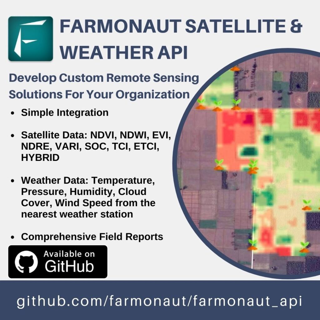
Now you can develop your own custom agricultural remote sensing solutions for your organization based upon Farmonaut Technologies. Simply make a few API requests and our systems will automatically generate all the satellite data (NDVI, NDWI, EVI, VARI, SOC, TCI, ETCI and HYBRID) as well as the weather data for all the fields submitted by your organization.
- Researchers
- Businesses
- Financial Institution
- Government Agencies
- Agriculture Research Institutes
- Agriculture Startups
Who Is It For?
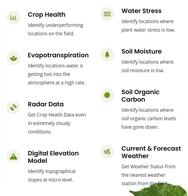
What Data You Will Get?

- Submit Farms
- Modify Farm Coordinates
- Pause/Resume Farm Monitoring
- Get Detailed Farm Reports (PDF as well as HTML)
- Decide What Language To Get The Report In (50+ Language Options)
- Get Detailed Breakdown Of Farm Health Indicators
What things you can do with the API?
Why Farmonaut?
- Simple & Easy To Integrate
- Satellite & Weather Data From A Single API
- Most Affordable Pricing
- 14+ Satellite Parameters For All Submitted Farms
Get Hectare Units For API Access
Now you can develop your own custom agricultural remote sensing solutions for your organization based upon Farmonaut Technologies.

