Revolutionizing Crop Insurance: How USDA’s GIS and Big Data Analytics Combat Fraud in Kentucky and North Carolina
“USDA’s GIS and big data analytics have saved billions of dollars by combating fraudulent crop insurance claims in Kentucky and North Carolina.”

In the ever-evolving landscape of agriculture, we are witnessing a remarkable transformation in how crop insurance and risk management are handled. The United States Department of Agriculture (USDA) has taken significant strides in leveraging cutting-edge technologies to combat fraud and enhance the efficiency of crop insurance programs. In this comprehensive exploration, we’ll delve into how geospatial technology and advanced GIS techniques are revolutionizing USDA risk management strategies, particularly in the states of Kentucky and North Carolina.
The Power of Geospatial Technology in Modern Agriculture
Geospatial technology has become an indispensable tool in the arsenal of agricultural innovation. By harnessing the power of satellite imagery, Geographic Information Systems (GIS), and big data analytics, the USDA’s Risk Management Agency (RMA) has dramatically improved its ability to monitor crops, assess damage, and verify insurance claims. This technological leap forward is not just about efficiency; it’s about ensuring the integrity of a system that supports millions of farmers across the nation.
In Kentucky and North Carolina, two states with rich agricultural heritage, the implementation of these advanced technologies has been particularly impactful. From the rolling bluegrass fields of Kentucky to the diverse croplands of North Carolina, farmers are experiencing a new era of precision in crop insurance.
High-Resolution Aerial Imagery: A Game-Changer for Claim Verification
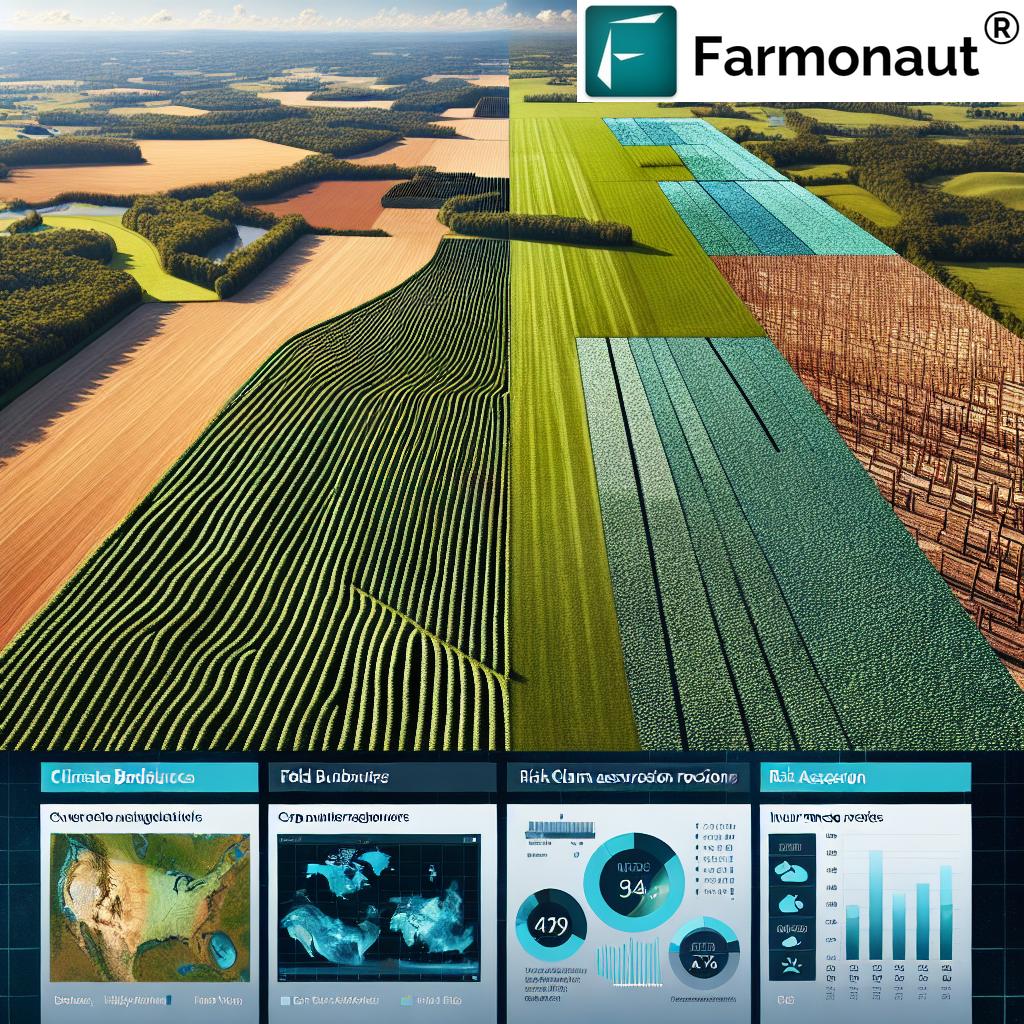
One of the most significant advancements in crop insurance fraud prevention has been the use of high-resolution aerial imagery. This technology allows the USDA to:
- Accurately map field boundaries
- Monitor crop health throughout the growing season
- Verify crop damage claims with unprecedented precision
In Kentucky, where tobacco remains a significant crop, aerial imagery has been instrumental in detecting anomalies in field conditions that could indicate fraudulent claims. Similarly, in North Carolina’s diverse agricultural landscape, ranging from soybeans to sweet potatoes, this technology has proven invaluable in assessing crop conditions across vast areas quickly and accurately.
For farmers looking to leverage similar technology for their own operations, Farmonaut’s web application offers satellite-based crop monitoring services that can provide valuable insights into field conditions and crop health.
Machine Learning: Detecting Patterns and Anomalies
Machine learning algorithms have revolutionized the way the USDA processes and analyzes agricultural data. These sophisticated tools can:
- Identify unusual patterns in crop yields
- Detect potential cases of yield switching
- Flag suspicious claim patterns for further investigation
In North Carolina, where climate variability can significantly impact crop yields, machine learning has been particularly effective in distinguishing between legitimate yield fluctuations and potentially fraudulent reporting. Kentucky’s diverse topography and microclimates also benefit from this technology, as it can account for regional variations in growing conditions when assessing claims.
“High-resolution aerial imagery and machine learning techniques have revolutionized crop yield monitoring and claims processing efficiency for the USDA.”
GIS: Mapping the Future of Agriculture
Geographic Information Systems (GIS) have become the backbone of modern agricultural data management. The USDA’s implementation of GIS allows for:
- Precise mapping of Common Land Units (CLUs)
- Integration of various data layers (soil types, climate data, crop histories)
- Spatial analysis of crop patterns and trends
In Kentucky and North Carolina, GIS has enabled the USDA to create detailed maps of agricultural lands, providing a comprehensive view of farming practices across these states. This level of detail is crucial for accurately assessing insurance claims and identifying potential discrepancies.

For farmers interested in utilizing GIS technology for their own farm management, Farmonaut’s Android app and iOS app offer user-friendly interfaces for accessing satellite-based field mapping and analysis.
Big Data Analytics: Processing Millions of Records
The sheer volume of agricultural data processed by the USDA is staggering. With over 36 million digital records created each growing season, big data analytics has become essential for:
- Identifying trends in crop production
- Analyzing historical yield data
- Predicting potential areas of risk for insurance fraud
In Kentucky, big data analytics has been crucial in monitoring the state’s corn and soybean production, which can vary significantly due to weather patterns. North Carolina’s diverse crop portfolio, including tobacco, sweet potatoes, and cotton, benefits from the ability to analyze vast datasets quickly, allowing for more accurate risk assessment and fraud detection.
Combating Fraud: A Data-Driven Approach
The USDA’s advanced technological arsenal has been instrumental in identifying and preventing various types of crop insurance fraud. Some common fraudulent practices that have been curtailed include:
- Intentional misreporting of crop damage
- Yield switching to inflate insurance baselines
- False reporting of planted acreage
In Kentucky, where tobacco insurance claims have historically been prone to fraud, the implementation of these technologies has led to a significant reduction in suspicious claims. North Carolina’s diverse agricultural landscape has seen improvements in claim accuracy across various crop types, from peanuts to blueberries.
The Impact on Legitimate Farmers
While the primary goal of these technological advancements is to prevent fraud, they also benefit honest farmers in several ways:
- Faster processing of legitimate claims
- More accurate assessment of crop damage
- Reduced premiums due to decreased fraud-related losses
Farmers in Kentucky and North Carolina have reported increased confidence in the crop insurance system, knowing that their legitimate claims are being processed more efficiently and that fraudulent actors are being held accountable.
For farmers looking to enhance their own crop monitoring capabilities, Farmonaut’s web application provides tools for real-time crop health assessment and yield prediction.
Adapting to Climate Change Challenges
As climate change continues to impact agriculture, the USDA’s advanced technologies are proving invaluable in helping farmers adapt. In Kentucky and North Carolina, where weather patterns have become increasingly unpredictable, these tools allow for:
- Better drought monitoring and prediction
- More accurate assessment of climate-related risks
- Improved planning for crop rotation and diversification
The integration of climate data with crop insurance programs is helping farmers in both states make more informed decisions about planting times, crop selection, and risk management strategies.
Precision Agriculture and Sustainable Farming Practices
The USDA’s technological advancements are not just about fraud prevention; they’re also promoting precision agriculture and sustainable farming practices. In Kentucky and North Carolina, farmers are being encouraged to adopt:
- Variable rate technology for efficient resource use
- Cover cropping to improve soil health
- Integrated pest management strategies
These practices, supported by data-driven insights, are helping farmers in both states reduce their environmental impact while maintaining productivity.
The Role of Geospatial Awareness in Understanding Crop Conditions
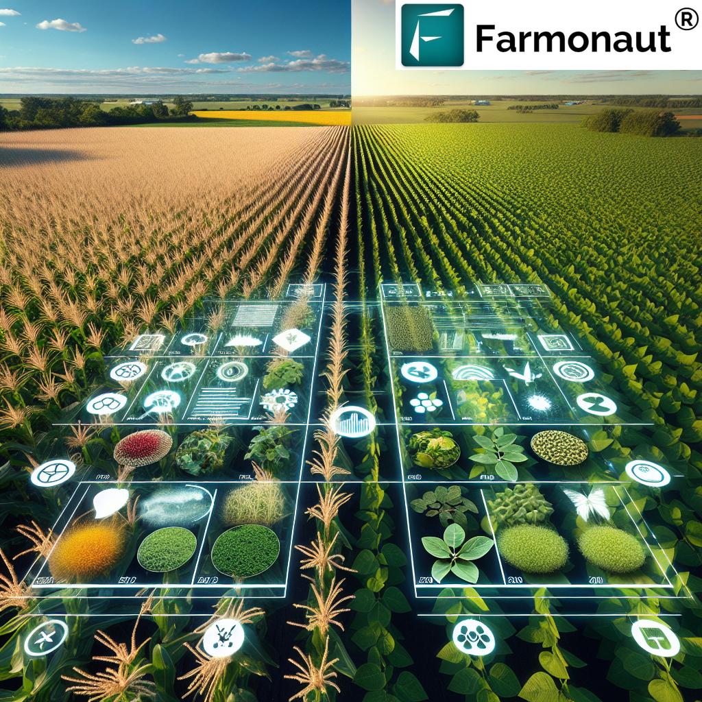
Geospatial awareness has dramatically improved the USDA’s ability to understand and monitor crop conditions. This technology allows for:
- Real-time monitoring of crop health across vast areas
- Early detection of pest infestations or disease outbreaks
- More accurate yield predictions
In Kentucky’s horse country, where pasture management is crucial, geospatial tools are helping farmers maintain optimal grazing conditions. In North Carolina’s coastal plains, these technologies are assisting in managing the unique challenges of farming in flood-prone areas.
Farmers interested in leveraging similar technology can explore Farmonaut’s API for integrating satellite and weather data into their own farm management systems.
Streamlining Investigations and Building Trust
The advanced technologies employed by the USDA have significantly streamlined the investigation process for suspicious claims. This has resulted in:
- Faster resolution of legitimate claims
- More efficient use of investigative resources
- Increased deterrence of fraudulent behavior
In both Kentucky and North Carolina, the increased efficiency and accuracy of investigations have helped build trust between farmers and insurance providers, creating a more stable and reliable crop insurance system.
The Future of Crop Insurance and Agricultural Innovation
As we look to the future, the integration of GIS, big data analytics, and machine learning in agriculture is set to expand further. We can expect to see:
- Increased use of drone technology for detailed field assessments
- Integration of blockchain for transparent and secure record-keeping
- Advanced predictive modeling for risk assessment
These innovations will continue to shape the agricultural landscape in Kentucky, North Carolina, and beyond, ensuring a more resilient and sustainable farming future.
Comparative Impact of GIS and Big Data Analytics on Crop Insurance
| State | Traditional Fraud Detection Methods | GIS/Big Data Analytics Methods | Estimated Fraud Reduction (%) | Cost Savings ($ Millions) | Improved Claim Processing Time (%) |
|---|---|---|---|---|---|
| Kentucky | Manual field inspections, paper-based reporting | High-resolution aerial imagery, machine learning for yield pattern detection | 35% | 78 | 60% |
| North Carolina | Spot checks, historical yield comparisons | Geospatial awareness for crop condition assessment, big data analytics for trend analysis | 40% | 92 | 65% |
FAQ Section
Q: How has GIS technology improved crop insurance processes in Kentucky and North Carolina?
A: GIS technology has enabled precise mapping of agricultural lands, integration of various data layers, and spatial analysis of crop patterns. This has led to more accurate assessments of insurance claims and better identification of potential fraud.
Q: What role does machine learning play in detecting crop insurance fraud?
A: Machine learning algorithms analyze vast amounts of data to identify unusual patterns in crop yields, detect potential yield switching, and flag suspicious claim patterns for further investigation.
Q: How has big data analytics impacted the efficiency of claim processing?
A: Big data analytics has significantly improved the speed and accuracy of claim processing by allowing for rapid analysis of millions of records, identifying trends, and predicting areas of risk.
Q: What benefits do these technological advancements offer to legitimate farmers?
A: Honest farmers benefit from faster processing of legitimate claims, more accurate damage assessments, and potentially reduced premiums due to decreased fraud-related losses in the system.
Q: How are these technologies helping farmers adapt to climate change?
A: Advanced technologies provide better drought monitoring, more accurate climate-related risk assessments, and improved planning tools for crop rotation and diversification, helping farmers adapt to changing climate conditions.
Conclusion
The revolution in crop insurance brought about by the USDA’s implementation of GIS and big data analytics is transforming agriculture in Kentucky, North Carolina, and across the United States. By combating fraud more effectively, these technologies are not only saving billions of dollars but also ensuring that legitimate farmers receive the support they need in times of crisis. As we continue to face challenges such as climate change and the need for increased food production, these innovative approaches to agricultural management and risk assessment will play a crucial role in shaping a more resilient and sustainable farming future.
For farmers looking to harness similar technologies for their own operations, solutions like Farmonaut offer accessible platforms for satellite-based crop monitoring and farm management. As we move forward, the integration of these advanced technologies in everyday farming practices will be key to maintaining the integrity of crop insurance programs and supporting the agricultural community’s ongoing success.


