In today’s rapidly evolving agricultural landscape, farmers and agribusinesses are constantly seeking innovative solutions to optimize crop yields and enhance farm productivity. Enter Farmonaut’s satellite-based agronomic advisory system, a game-changing technology that’s transforming the way we approach farming. This cutting-edge solution harnesses the power of satellite technology to provide unparalleled insights into crop health, irrigation needs, and soil conditions.
🌱 The Future of Farming: Crop SAT and Sustainable Sugarcane
The agricultural sector is witnessing a technological revolution, and at the forefront of this change is the concept of Crop SAT (Satellite-Aided Technology). This innovative approach is particularly beneficial for crops like sugarcane, paving the way for sustainable sugarcane production.
Farmonaut’s satellite-based agronomic advisory system utilizes advanced satellite technology to monitor crop health and provide actionable insights. This technology is especially valuable for sugarcane farmers, as it allows for precise monitoring of large plantations, helping to optimize resource use and increase yields.
Benefits of Crop SAT for Sustainable Sugarcane Production:
- Real-time monitoring of crop health
- Early detection of pest and disease outbreaks
- Optimization of water and fertilizer use
- Improved yield forecasting
- Reduced environmental impact
🗺️ Empowering Communities: Village-Level Crop Mapping
One of the most powerful applications of satellite-based agronomic advisory is the creation of detailed village-level crop maps. These maps provide a comprehensive overview of crop distribution, health, and potential yields across entire communities.
By leveraging satellite infrared imagery, Farmonaut’s system can differentiate between various crop types, assess their health status, and even predict potential yields. This information is invaluable for local governments, agricultural cooperatives, and individual farmers alike.
Applications of Village-Level Crop Maps:
- Efficient resource allocation
- Improved crop planning
- Early warning systems for crop failures
- Better informed policy decisions
- Enhanced food security measures
💼 Unlocking Farm Business Opportunities
The wealth of data provided by satellite-based agronomic advisory systems opens up a world of farm business opportunities. By having access to detailed, real-time information about their crops and land, farmers can make more informed decisions and explore new avenues for growth.

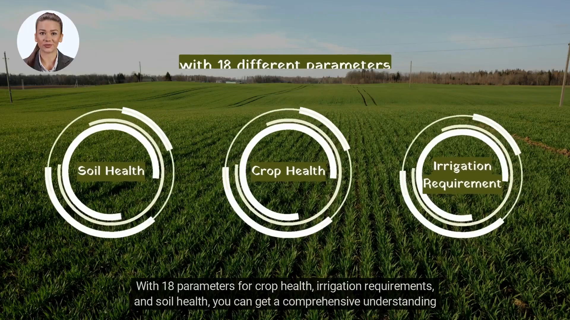
Farmonaut’s system provides 18 different parameters related to crop health, irrigation requirements, and soil conditions. This comprehensive data set allows farmers to optimize their operations and potentially diversify their crops based on market demands and environmental conditions.
Potential Farm Business Opportunities:
- Precision agriculture services
- Crop consulting
- Data-driven crop insurance
- Sustainable farming certifications
- Direct-to-consumer marketing
🛰️ The Power of Satellite-Based Agronomic Advisory
At the heart of Farmonaut’s offering is its satellite-based agronomic advisory system. This technology leverages the power of satellite imagery and advanced analytics to provide farmers with unprecedented insights into their land and crops.
The system analyzes various spectral bands captured by satellites to assess crop health, predict irrigation needs, and evaluate soil conditions. This information is then translated into actionable advice that farmers can use to optimize their operations.
Key Features of Satellite-Based Agronomic Advisory:
- Regular crop health monitoring
- Precise irrigation scheduling
- Early pest and disease detection
- Yield prediction
- Soil health assessment
📸 Harnessing the Power of Satellite Infrared Imagery
One of the most powerful tools in Farmonaut’s arsenal is satellite infrared imagery. This technology allows for the capture of information beyond what’s visible to the naked eye, providing invaluable insights into crop health and soil conditions.
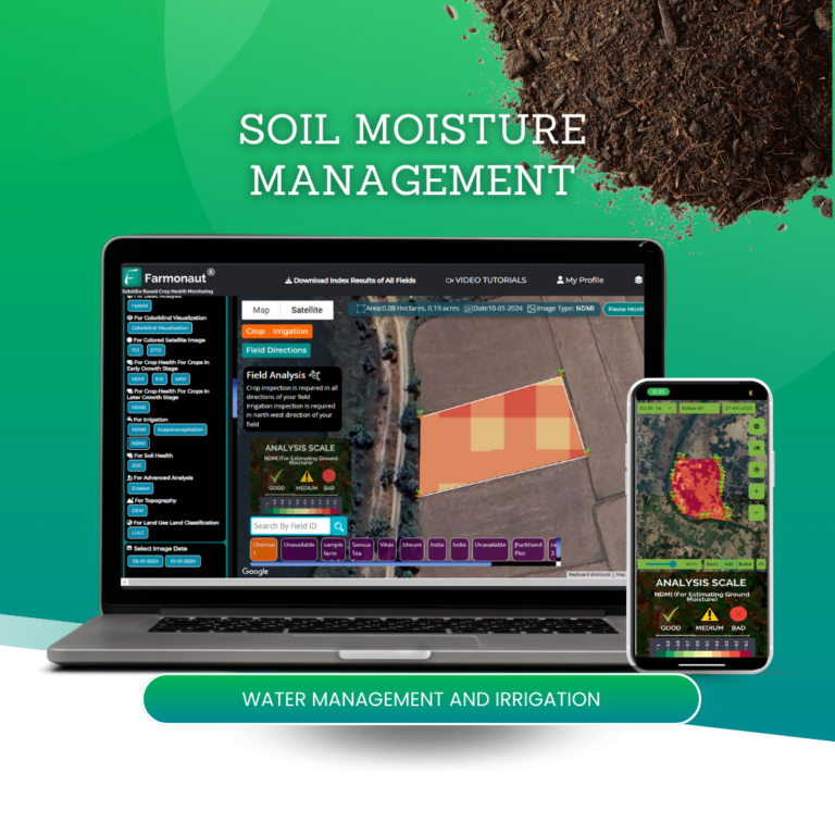
Infrared imagery can detect subtle changes in plant health before they become visible, allowing farmers to take preventive action. It can also provide information about soil moisture levels, helping to optimize irrigation and prevent water stress.
Applications of Satellite Infrared Imagery:
- Early stress detection in crops
- Soil moisture mapping
- Nutrient deficiency identification
- Crop yield estimation
- Land use classification
🌿 Embracing the Natural Way of Farming
While Farmonaut’s technology is cutting-edge, its ultimate goal aligns with the natural way of farming. By providing detailed insights into crop and soil health, the system allows farmers to work in harmony with nature, minimizing the need for chemical interventions.

The satellite-based agronomic advisory system helps farmers understand the natural cycles and needs of their crops, promoting sustainable farming practices that are beneficial for both the environment and crop yields.
Benefits of Natural Farming Supported by Technology:
- Reduced chemical use
- Improved soil health
- Enhanced biodiversity
- Lower environmental impact
- Increased crop resilience
📚 Expanding Knowledge: Blogs About Farming
In addition to its technological offerings, Farmonaut is committed to educating farmers and agricultural professionals. The company maintains a series of informative blogs about farming, covering topics ranging from the latest agricultural technologies to sustainable farming practices.

These blogs serve as a valuable resource for farmers looking to stay updated on the latest trends and best practices in agriculture. They also help to demystify complex technologies like satellite-based agronomic advisory systems, making them more accessible to a wider audience.
Popular Blog Topics:
- Introduction to satellite-based crop monitoring
- Best practices for sustainable farming
- Maximizing yield with precision agriculture
- Understanding and interpreting crop health data
- The future of farming: emerging technologies
🌍 Global Reach, Local Impact
Farmonaut’s commitment to accessibility is evident in its multilingual approach. The app and reports are available in over 50 languages, ensuring that farmers across the globe can benefit from this technology.

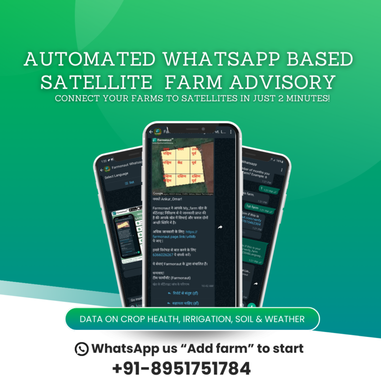
Moreover, the system’s ability to provide updates through WhatsApp makes it incredibly convenient for farmers to stay informed about their crops’ health and performance, regardless of their location or technological proficiency.
Features Enhancing Global Accessibility:
- Multilingual app and reports
- WhatsApp updates
- Web, Play Store, and App Store availability
- Customizable alerts
- User-friendly interface
🤝 Trusted by Industry Leaders
Farmonaut’s satellite-based agronomic advisory system has gained the trust of leading agribusinesses, including ITC, Coromandel International, and Godrej Agrovet. These partnerships are a testament to the system’s effectiveness and reliability.
By adopting Farmonaut’s technology, these industry giants are not only optimizing their own operations but also setting a new standard for the agricultural sector as a whole.
Benefits for Agribusinesses:
- Improved crop yield and quality
- Enhanced supply chain management
- Better risk assessment and management
- Data-driven decision making
- Increased sustainability credentials
❓ Frequently Asked Questions
What is satellite-based agronomic advisory?
Satellite-based agronomic advisory is a technology that uses satellite imagery and advanced analytics to provide farmers with detailed insights about their crops, soil, and overall farm health. It helps in making informed decisions about irrigation, pest control, and other farming practices.
How accurate is the data provided by Farmonaut’s system?
Farmonaut’s system uses high-resolution satellite imagery and advanced algorithms to provide highly accurate data. However, for best results, it’s recommended to combine this data with on-ground observations.
Can small-scale farmers benefit from this technology?
Absolutely! While the technology is used by large agribusinesses, it’s designed to be accessible and beneficial for farmers of all scales, including small-scale farmers.
How often is the satellite data updated?
The frequency of updates can vary depending on the specific service package, but typically, new satellite images are available every few days.
Is internet connectivity required to use Farmonaut’s app?
While internet connectivity is needed to receive real-time updates, the app is designed to work offline as well, storing data locally on your device.
In conclusion, Farmonaut’s satellite-based agronomic advisory system represents a significant leap forward in agricultural technology. By providing farmers with detailed, actionable insights about their crops and land, it’s paving the way for more efficient, sustainable, and profitable farming practices. Whether you’re a small-scale farmer or a large agribusiness, this technology has the potential to revolutionize your operations. To learn more and take the first step towards optimizing your farm’s performance, contact Farmonaut today at support@farmonaut.com.

