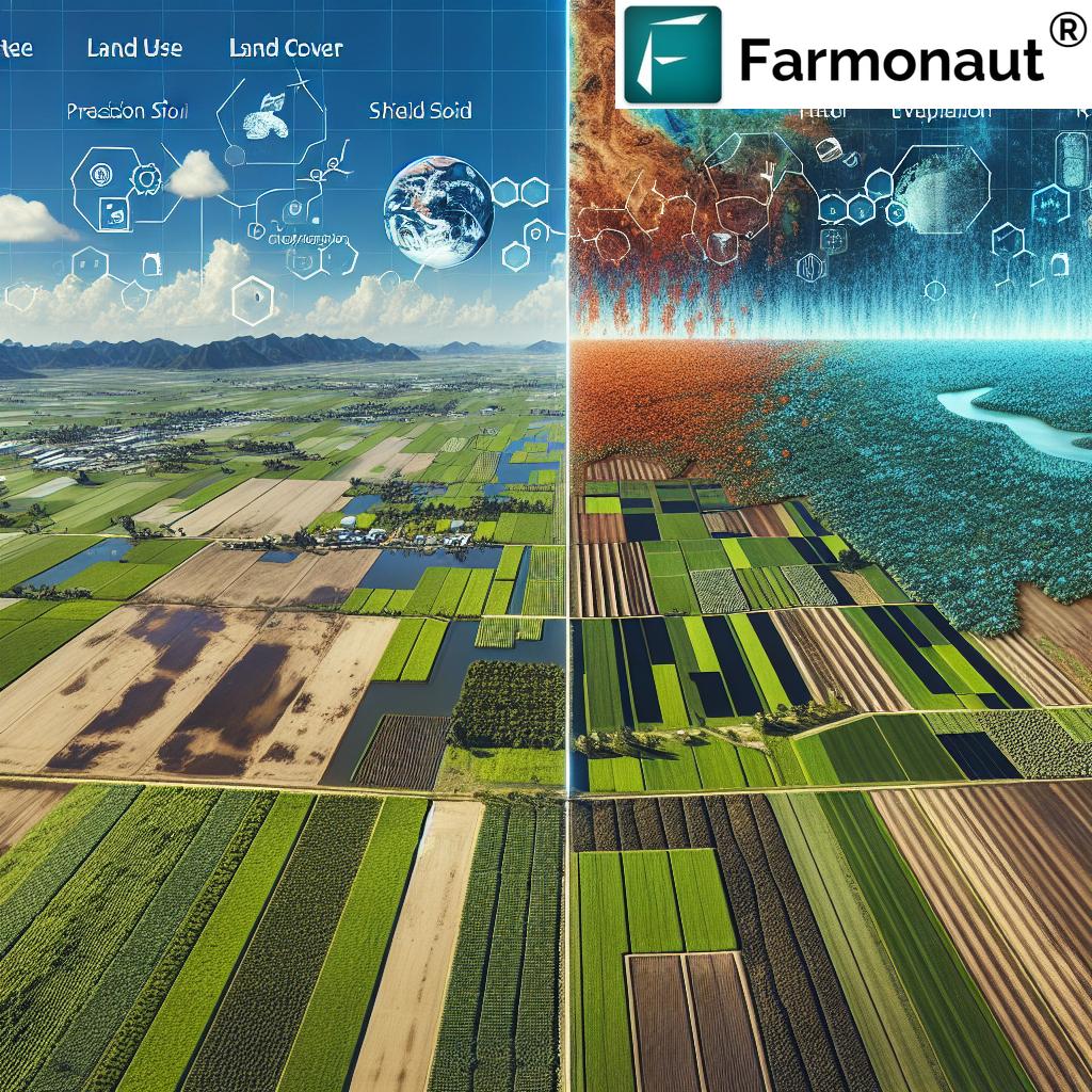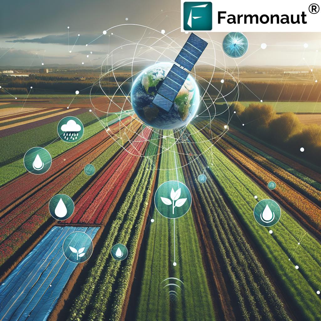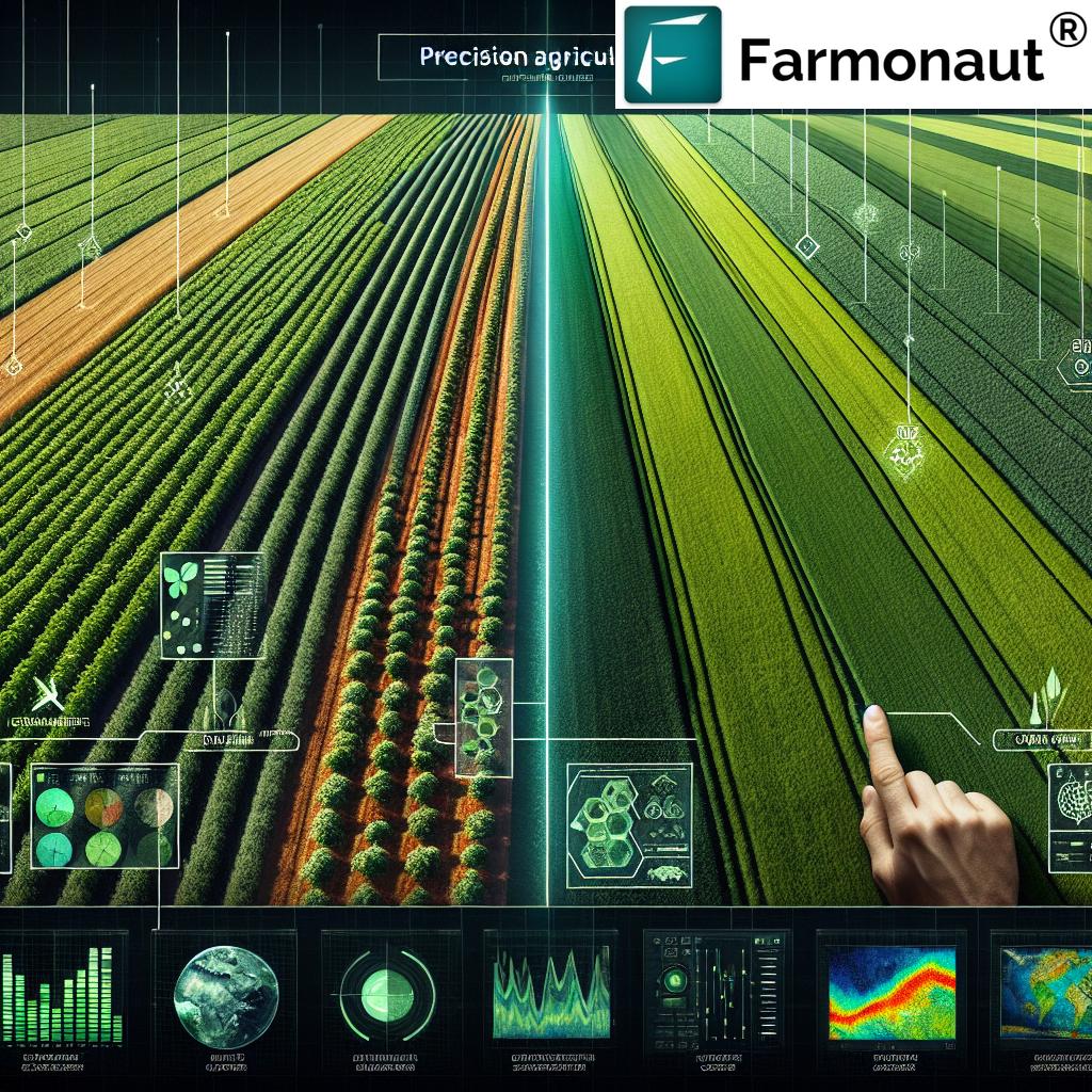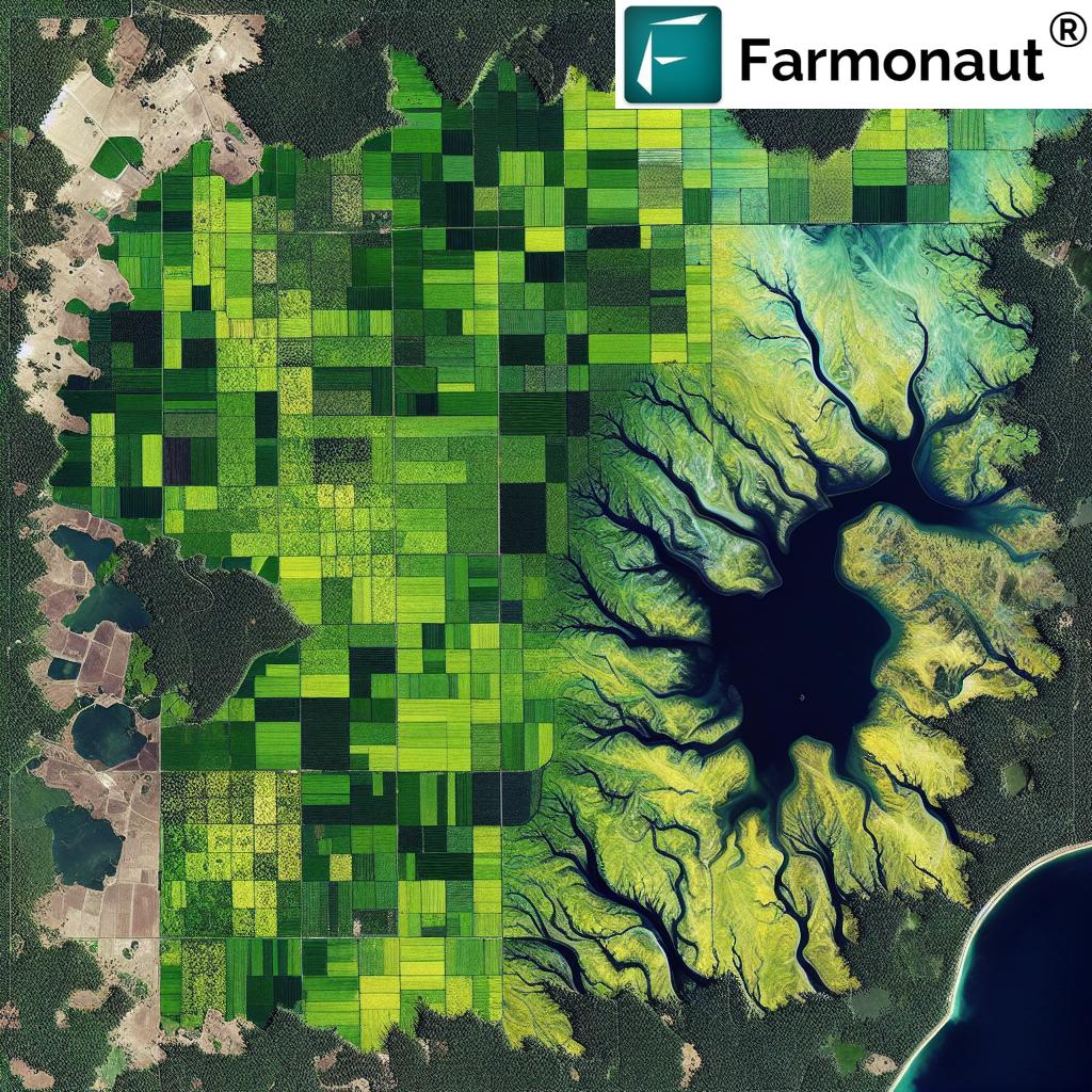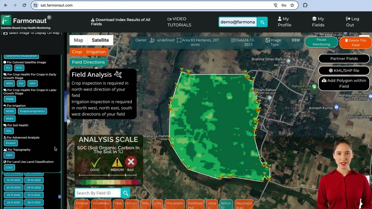
In the ever-evolving landscape of agriculture, crop health monitoring using remote sensing has emerged as a game-changing technology. Farmonaut’s web app for satellite monitoring stands at the forefront of this revolution, offering farmers and agricultural professionals a powerful tool to optimize their crop management practices. This review will delve into the features, benefits, and potential impact of Farmonaut’s platform on modern farming.
🌱 Introduction to Crop Health Monitoring Systems
Crop health monitoring systems have become essential in today’s agriculture, allowing farmers to make data-driven decisions and improve yields. Farmonaut’s web app leverages satellite imagery and advanced analytics to provide comprehensive insights into field conditions. This crop monitoring system for agricultural fields represents a significant leap forward in precision agriculture.
The use of free satellite imagery for farms has democratized access to valuable agricultural data. Farmonaut’s platform takes this a step further by offering user-friendly interfaces and actionable insights derived from complex satellite data.
🛰️ Key Features of Farmonaut’s Satellite Monitoring Web App
Farmonaut’s web app boasts an array of features designed to empower farmers with critical information about their crops. Let’s explore the core functionalities that make this platform stand out in the realm of crop-specific farming apps.
Field Mapping and Management
One of the primary features of the app is its intuitive field mapping capability. Users can easily add new fields by:
- Clicking the “Add a new field” button
- Using the map interface to search locations
- Entering latitude and longitude coordinates
- Uploading KML or shape files
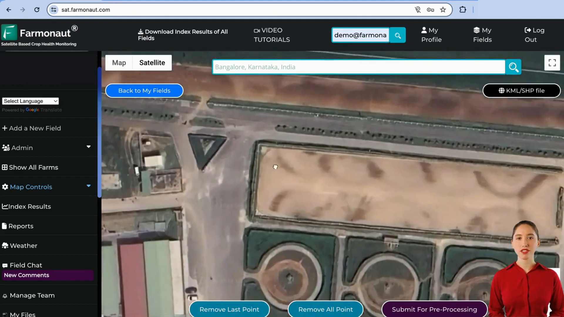
Once a field is added, users can view all their fields with detailed information, making it simple to manage multiple locations from a single dashboard.
Comprehensive Crop Condition Monitoring
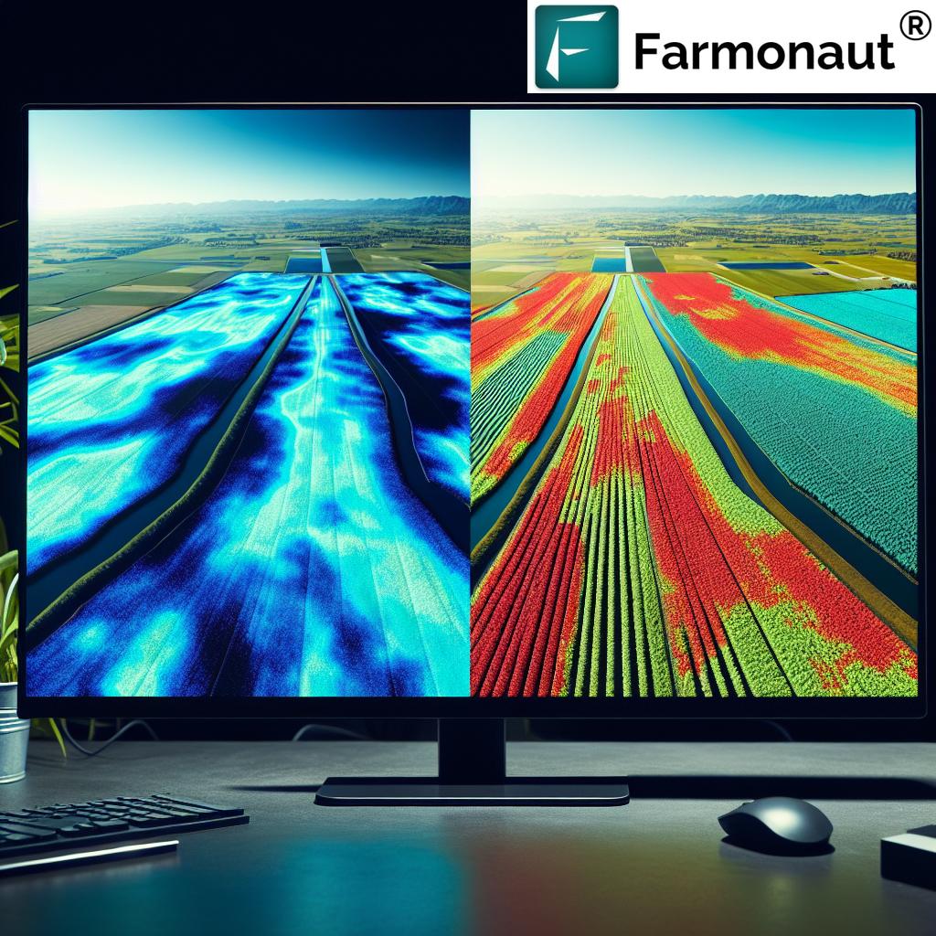
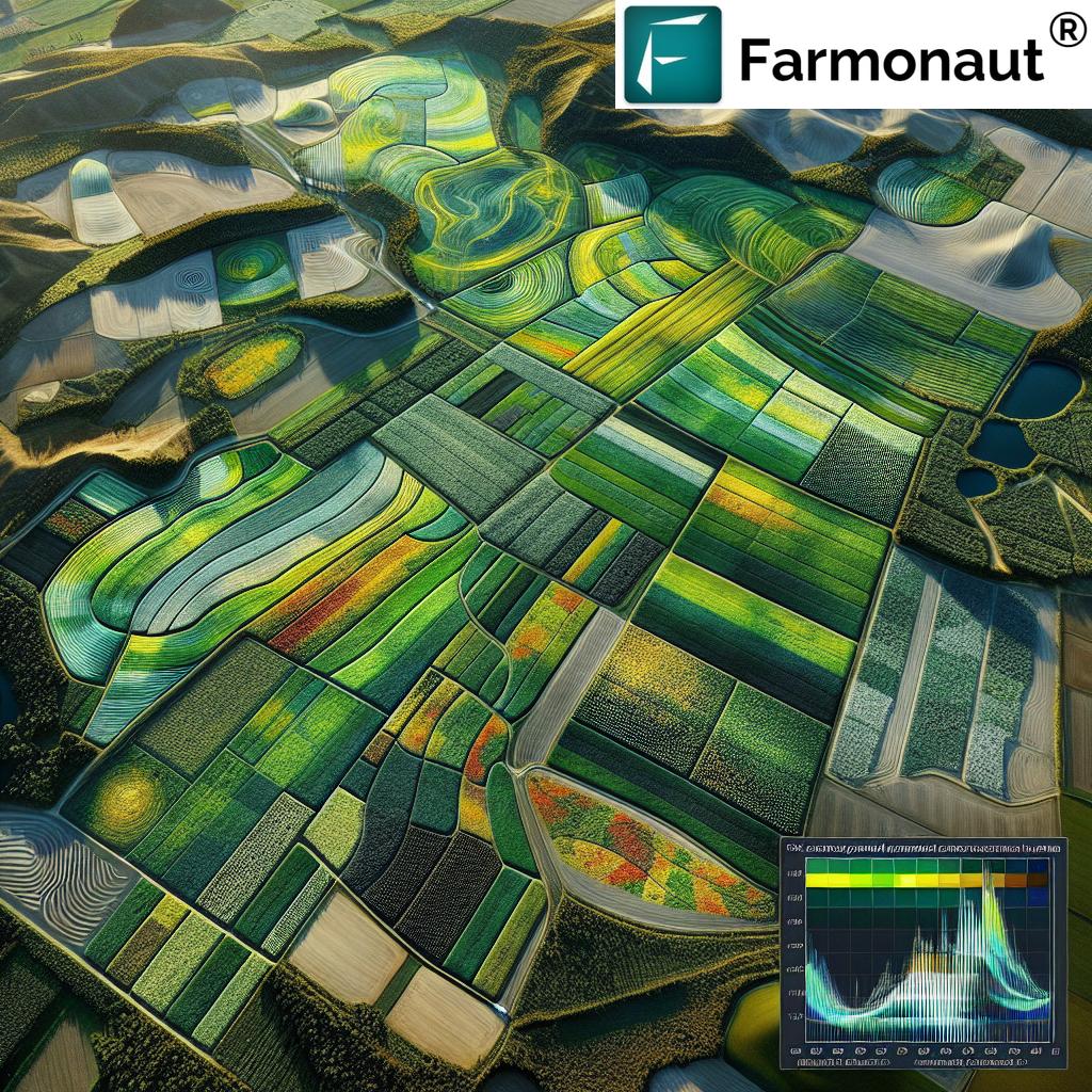
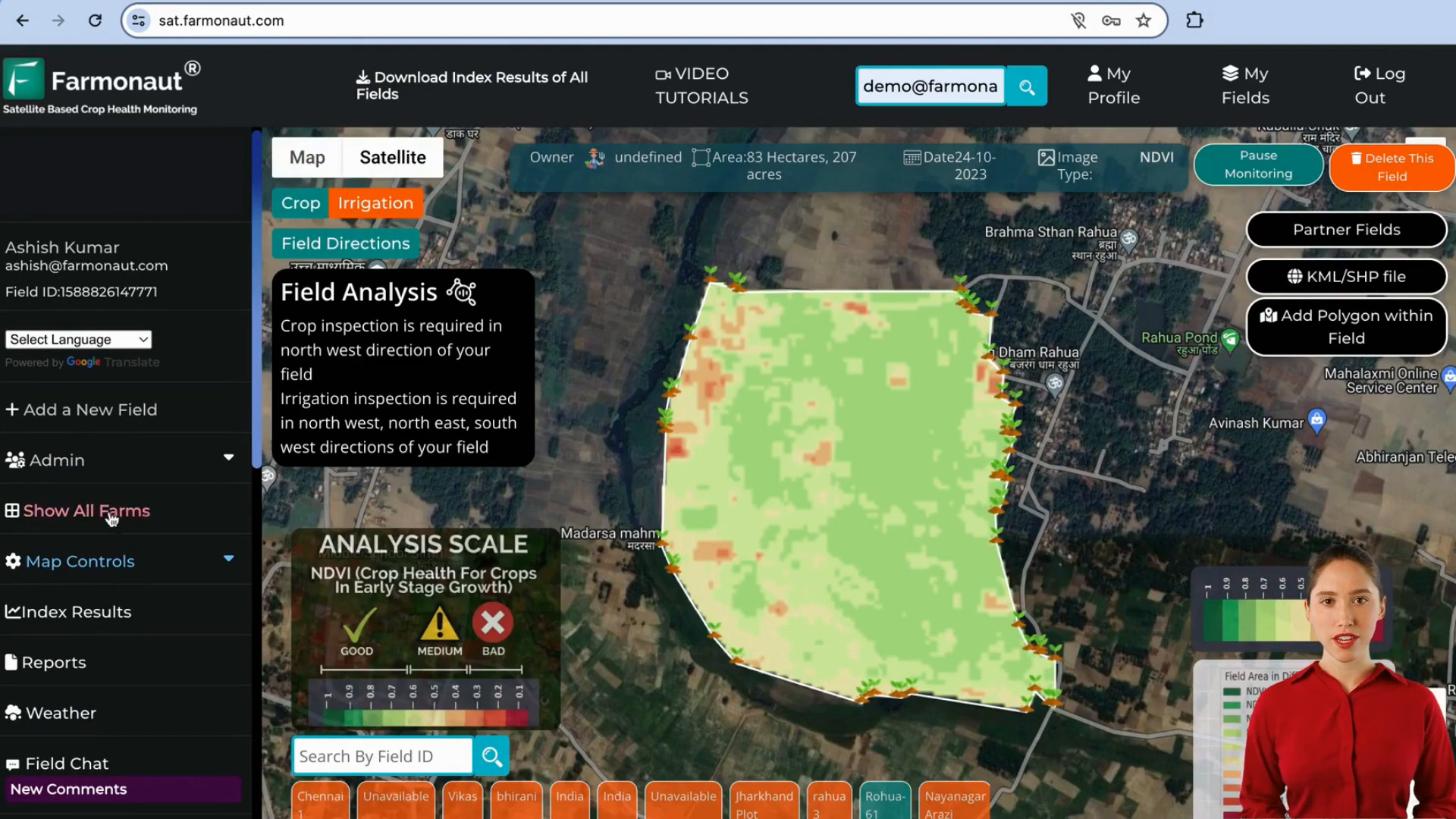
At the heart of Farmonaut’s platform is its robust crop condition monitoring capability. The app utilizes various indices to provide a holistic view of crop health:
- NDVI (Normalized Difference Vegetation Index)
- NDRE (Normalized Difference Red Edge)
- Hybrid Index for basic analysis
- Irrigation-specific indices (NDWI, Evapotranspiration, NDMI)
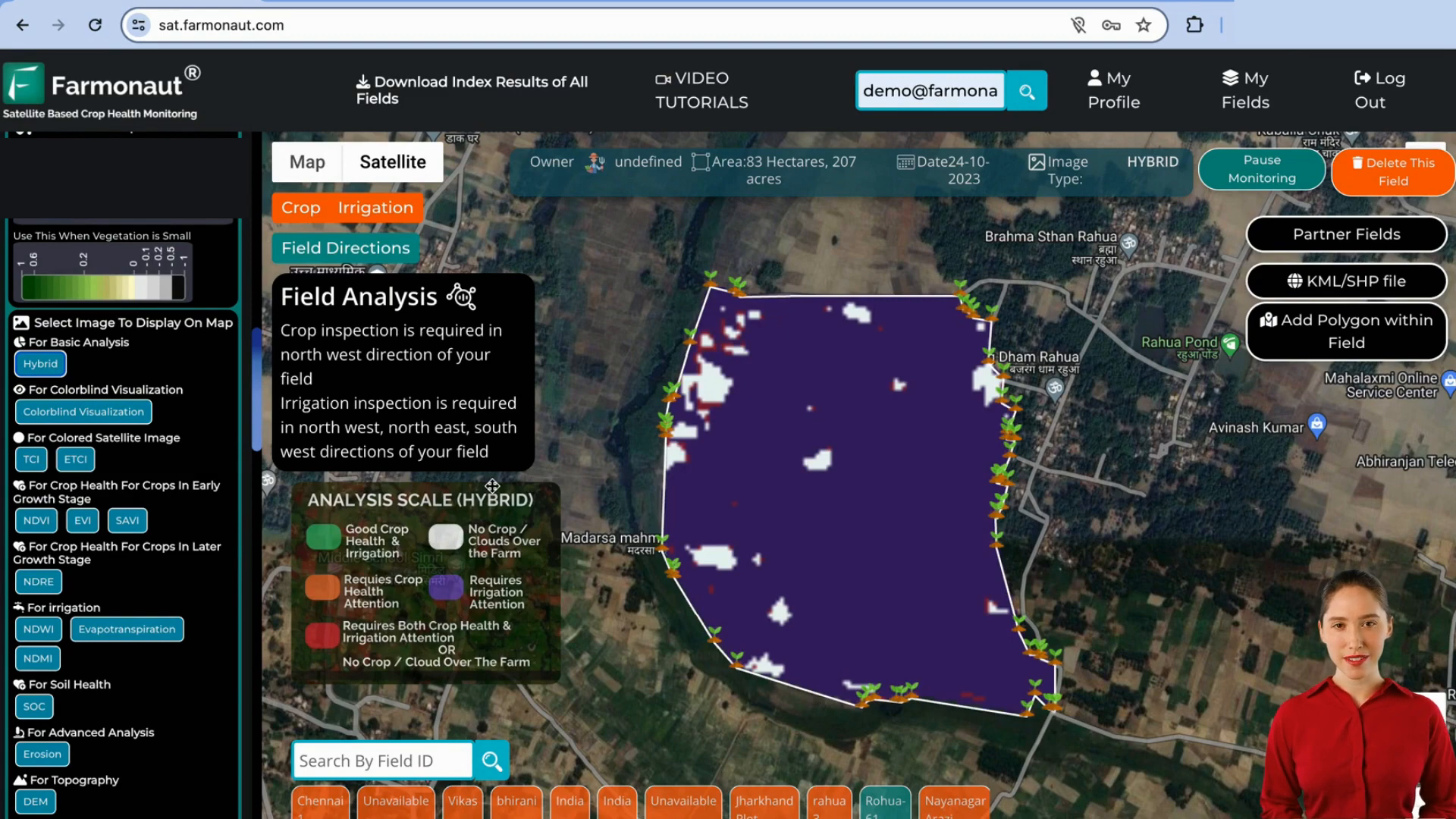
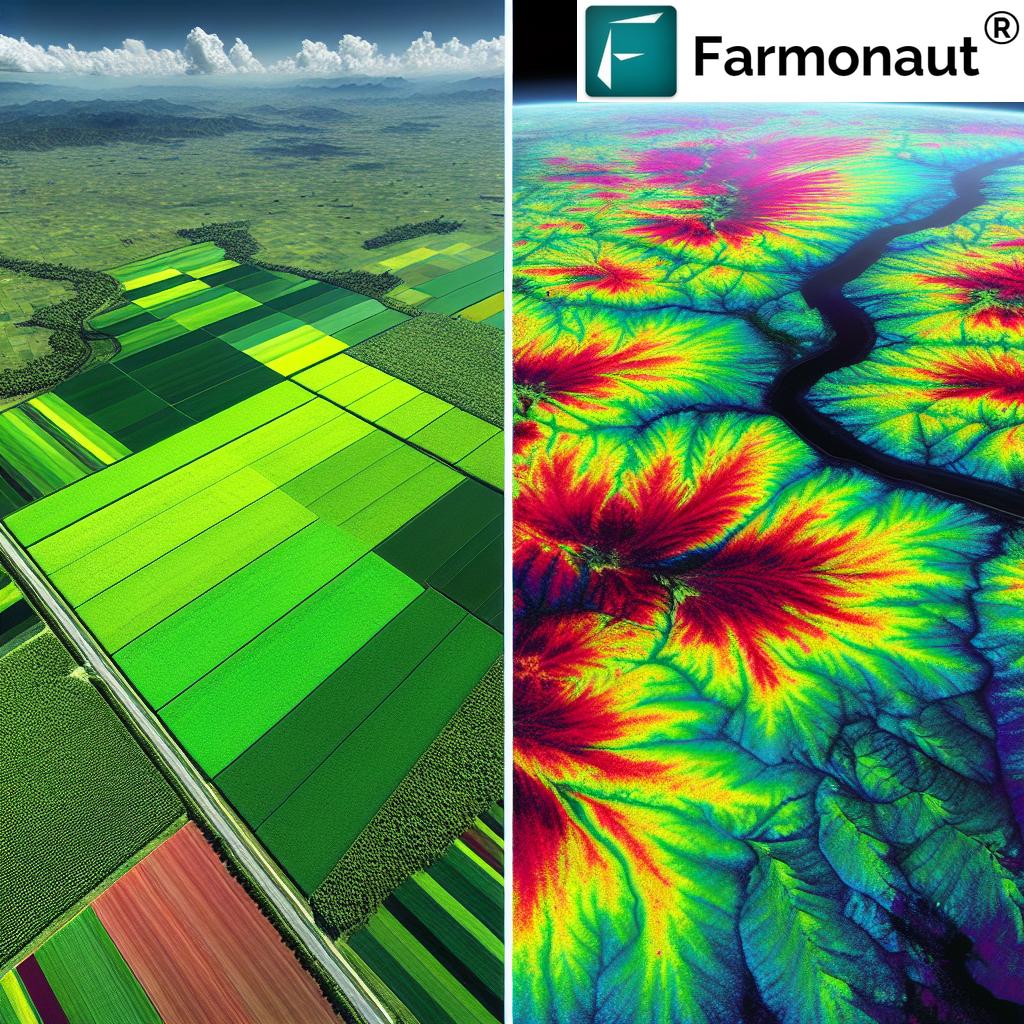
These indices are presented with color-coded maps, making it easy for farmers to quickly identify areas of concern in their fields. The app’s analysis scale uses green for good conditions, orange for medium, and dark red for areas requiring immediate attention.
Advanced Soil Health Analysis
Farmonaut’s crop health monitoring system goes beyond just plant health. It incorporates soil health analysis through:
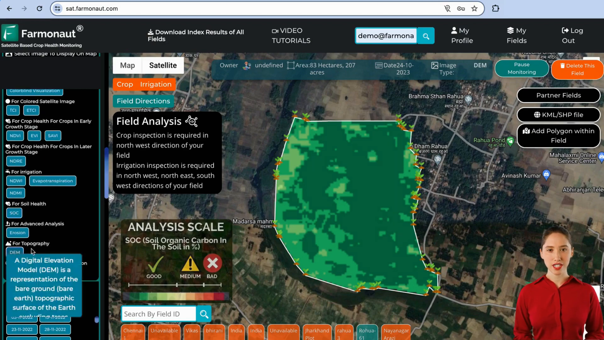
- Soil Organic Carbon (SOC) mapping
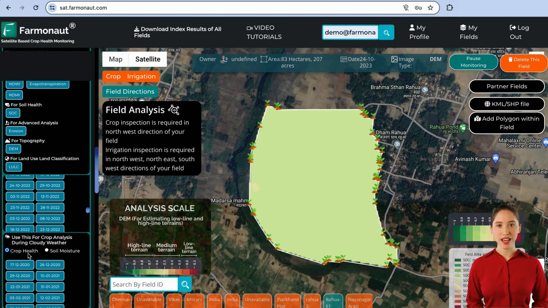
- Digital Elevation Model (DEM) for terrain analysis
This comprehensive approach allows farmers to make informed decisions about soil sampling and management, potentially saving time and resources in the process.
📊 Data Visualization and Reporting
Farmonaut’s web app excels in presenting complex data in an easily digestible format. The platform offers:
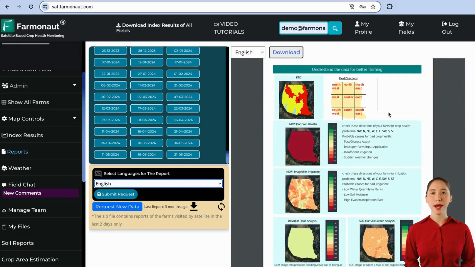
- Customizable reports generated after each satellite visit
- Multi-language support for reports
- Field maps divided into nine directions for easy navigation
- Time series analysis of major indices
These features ensure that farmers can quickly understand the state of their fields and track changes over time, facilitating better decision-making.
🌦️ Weather Integration and Forecasting
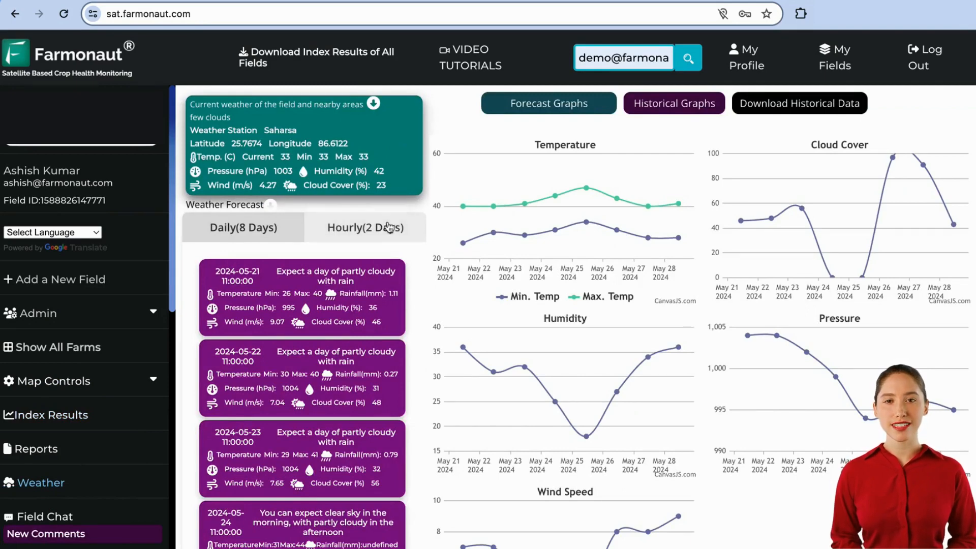
Understanding that weather plays a crucial role in agriculture, Farmonaut has integrated weather forecasting into their platform. Users can access:
- Hourly weather forecasts for 2 days
- Daily forecasts for up to 8 days
This integration allows farmers to plan their activities more effectively, taking into account upcoming weather conditions that may affect their crops.
🔬 Advanced Sensing Technologies
Farmonaut’s commitment to providing comprehensive data is evident in their use of advanced sensing technologies:
- Microwave data (SAR) for cloud-penetrating imagery
- Automatic detection of cloud cover
- RVI and RSM parameters for crop health and soil moisture
These technologies ensure that farmers have access to critical data even in less-than-ideal weather conditions, maintaining the continuity of crop monitoring.
📈 Historical Data and Comparative Analysis
The ability to analyze historical data is crucial for long-term agricultural planning. Farmonaut’s platform offers:
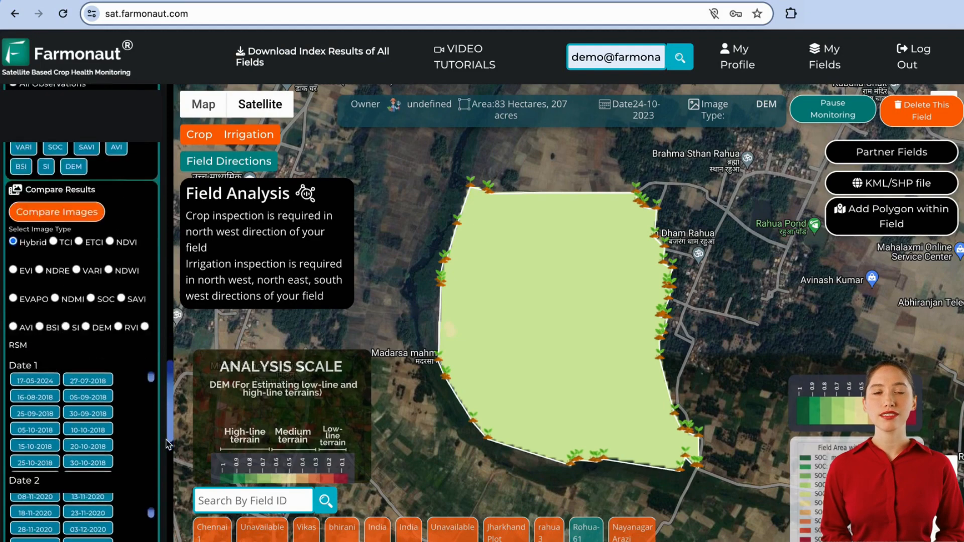
- Access to satellite data from 2017 onwards
- Time-lapse generation capabilities
- Side-by-side comparison of different indices
This feature set allows farmers to track the progress of their fields over extended periods, identify trends, and make data-driven decisions for future seasons.
💼 Farm Management and Subscription
Farmonaut has designed its platform with scalability in mind. The app includes features for managing multiple farms:
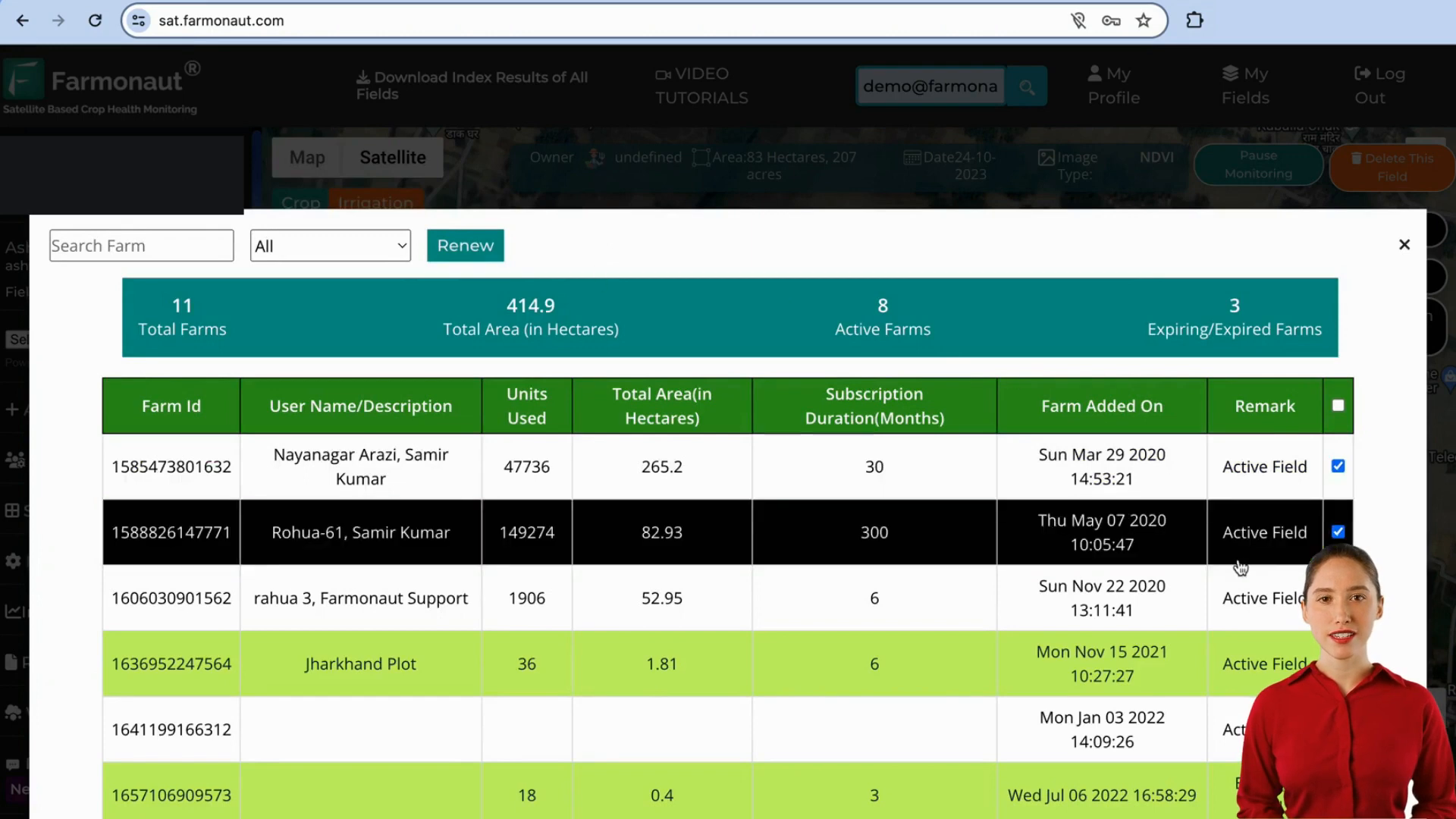
- Overview of all farms with detailed information
- Subscription management and renewal options
- Easy search and filter capabilities for large operations
These management tools make Farmonaut suitable for both small-scale farmers and large agricultural enterprises.
🌟 Pros and Cons of Farmonaut’s Web App
Let’s summarize the strengths and potential areas for improvement in Farmonaut’s platform:
| Pros | Cons |
|---|---|
| Comprehensive crop health monitoring | Subscription-based model may be costly for some |
| User-friendly interface with color-coded maps | Requires internet connectivity for real-time updates |
| Integration of multiple data sources (satellite, weather) | Learning curve for farmers new to precision agriculture |
| Advanced soil health analysis capabilities | Dependence on satellite revisit times for new data |
| Historical data analysis for long-term planning | Potential for data overload without proper guidance |
🎯 Who Can Benefit from Farmonaut’s Web App?
Farmonaut’s crop monitoring system is designed to cater to a wide range of agricultural professionals:
- Small to large-scale farmers seeking to optimize crop management
- Agricultural consultants and advisors
- Research institutions studying crop patterns and health
- Agribusinesses looking to improve yield and efficiency
- Government agencies monitoring agricultural trends
💰 Pricing and Subscription Model
While specific pricing details are not provided in the transcript, Farmonaut operates on a subscription-based model. Users can:
- Select the number of observations they need
- Choose subscription durations based on their requirements
- Renew subscriptions for individual or multiple fields
The pricing is likely based on factors such as field size and frequency of satellite observations. Potential users should contact Farmonaut directly for detailed pricing information.
🌍 The Impact of Crop Health Monitoring Using Remote Sensing
The adoption of crop health monitoring using remote sensing technologies like Farmonaut’s web app has far-reaching implications for global agriculture:
- Increased crop yields through timely interventions
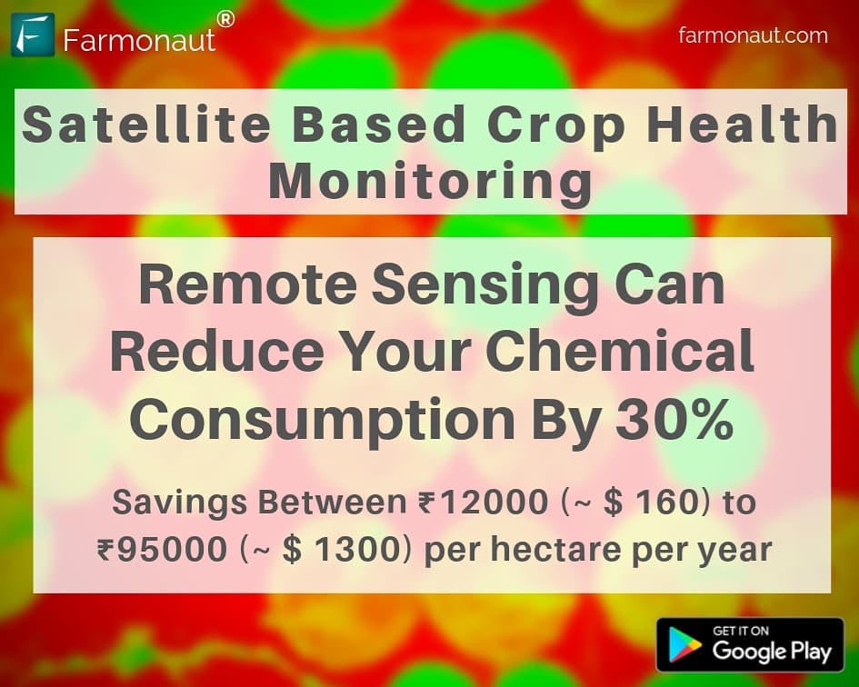
- Reduced use of water and chemicals through targeted applications
- Enhanced ability to detect and manage crop diseases and pests
- Improved resource allocation and farm management decisions
- Potential for more sustainable and environmentally friendly farming practices
As these technologies become more accessible, they have the potential to transform agriculture on a global scale, addressing food security challenges and promoting sustainable farming practices.
❓ Frequently Asked Questions
What is crop health monitoring using remote sensing?
Crop health monitoring using remote sensing involves using satellite or aerial imagery to assess the condition of crops without physical contact. It utilizes various spectral indices to analyze vegetation health, soil moisture, and other critical factors affecting crop growth.
How often is satellite data updated in Farmonaut’s app?
According to the tutorial, satellite visits occur every 3 to 5 days, depending on the location. Reports are generated within 24 hours of a satellite visit.
Can Farmonaut’s app work during cloudy conditions?
Yes, Farmonaut uses Synthetic Aperture Radar (SAR) technology, which can penetrate clouds and provide data even in cloudy conditions.
Is historical data available on the platform?
Yes, users can access historical satellite data dating back to 2017, allowing for long-term analysis and comparisons.
What types of crops can be monitored using this system?
While specific crops aren’t mentioned, the system is designed to work with various crop types, including those with dense canopies like soybeans and maize.
How does the app help with irrigation management?
The app provides several irrigation-specific indices such as NDWI, evapotranspiration, and NDMI to help farmers identify areas requiring irrigation attention.
Can the app detect pest infestations or diseases?
While not explicitly mentioned in the tutorial, crop health monitoring systems like Farmonaut’s can often detect anomalies in crop health that may indicate pest infestations or diseases.
Is the app suitable for small-scale farmers?
Yes, the app is designed to be user-friendly and accessible to farmers of all scales, including those with basic technical knowledge.
In conclusion, Farmonaut’s web app for satellite monitoring represents a significant advancement in crop health monitoring using remote sensing. By providing farmers with easy access to complex agricultural data, it empowers them to make informed decisions, optimize resource use, and potentially increase yields. As the agricultural sector continues to face challenges such as climate change and resource scarcity, tools like Farmonaut’s platform will play an increasingly crucial role in ensuring food security and sustainable farming practices worldwide.


