Revolutionizing Farm Mapping: Farmonaut’s Automated AI-based Boundary Detection System
In the ever-evolving world of agriculture, precision and efficiency are paramount. At Farmonaut®, we’re proud to introduce a game-changing solution that’s set to transform the way farmers map and manage their land. Our Automated AI-based Boundary Detection System is not just a tool; it’s a revolution in farm mapping technology. Let’s dive deep into how this innovative system is reshaping the agricultural landscape and empowering farmers worldwide.
The Challenge of Traditional Farm Mapping
For generations, farmers have grappled with the complexities of accurately mapping their land. Traditional methods often involved:
- Time-consuming manual surveys
- Expensive equipment and labor costs
- Inaccuracies due to human error
- Difficulties in managing large-scale operations
- Challenges in resolving boundary disputes
These challenges not only consumed valuable time and resources but also hindered the potential for precision farming and efficient land management. But now, there’s a solution that’s changing the game entirely.
Introducing Farmonaut’s Automated AI-based Boundary Detection System
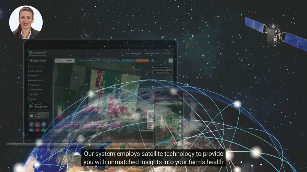
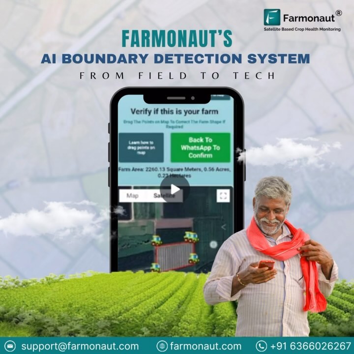
Our cutting-edge system leverages the power of artificial intelligence and satellite technology to revolutionize farm mapping. Here’s how it works:
- Single Coordinate Input: All you need to do is provide a single coordinate within your farm’s boundary.
- AI Processing: Our advanced AI algorithms analyze high-resolution satellite imagery.
- Automated Boundary Detection: The system accurately identifies and maps your farm’s boundaries.
- Instant Results: Within moments, you have a precise map of your farm at your fingertips.
This innovative approach addresses the key challenges faced by farmers and agribusinesses:
- Eliminating Uncertainty: No more guesswork or disputes over land boundaries.
- Saving Time and Resources: What once took days or weeks now happens in minutes.
- Enhancing Accuracy: AI-powered detection ensures precision that surpasses manual methods.
- Simplifying Large-Scale Management: Easily map and manage multiple farms or extensive acreage.
The Technology Behind the Magic
At the heart of our Automated AI-based Boundary Detection System lies a sophisticated blend of technologies:
1. Satellite Imagery
We utilize high-resolution multispectral satellite images that provide a clear view of your farm from above. These images capture various spectral bands, allowing our system to distinguish between different land types, crops, and natural boundaries.
2. Artificial Intelligence and Machine Learning
Our AI algorithms are trained on vast datasets of agricultural land, enabling them to recognize patterns and features that define farm boundaries. Machine learning capabilities mean the system continually improves its accuracy with each use.
3. Geospatial Analysis
Advanced geospatial techniques are employed to process and analyze the satellite data, ensuring that the mapped boundaries are precisely georeferenced and aligned with real-world coordinates.
4. Cloud Computing
To deliver rapid results, we harness the power of cloud computing, allowing for fast processing of complex data and instant delivery of mapping results to our users.
Benefits of Automated Farm Boundary Detection
The advantages of our system extend far beyond simple mapping. Let’s explore the multifaceted benefits that our users experience:
1. Precision Farming Enhancement
Accurate boundary detection is the foundation of precision farming. With our system, you can:
- Implement variable rate applications of fertilizers and pesticides
- Optimize irrigation systems based on precise field dimensions
- Plan crop rotations and planting patterns with greater accuracy
2. Time and Cost Savings
By automating the mapping process, we help you:
- Reduce labor costs associated with manual surveying
- Minimize equipment expenses for boundary mapping
- Free up time to focus on core farming activities
3. Dispute Resolution
Clear, AI-generated boundaries can help:
- Resolve conflicts with neighboring farms
- Provide evidence for legal or administrative purposes
- Ensure compliance with land use regulations
4. Improved Farm Management
Accurate mapping enables:
- Better planning of field operations
- Efficient allocation of resources across different plots
- Enhanced record-keeping and farm documentation
5. Environmental Stewardship
Precise boundaries contribute to:
- Reduced chemical runoff by preventing over-application near field edges
- Protection of sensitive areas like waterways or conservation zones
- More accurate carbon footprint calculations for sustainability initiatives
How Farmonaut’s System Compares to Traditional Methods
To truly appreciate the revolutionary nature of our Automated AI-based Boundary Detection System, let’s compare it to traditional mapping methods:
| Feature | Farmonaut’s AI System | Manual Surveying | GPS Handheld Devices |
|---|---|---|---|
| Time Required | Minutes | Days to Weeks | Hours to Days |
| Accuracy | High (sub-meter) | Variable (human error) | Moderate to High |
| Cost | Low | High | Moderate |
| Scalability | Highly Scalable | Limited | Moderate |
| Ease of Use | Very Easy | Complex | Moderate |
| Updates | Frequent & Automatic | Infrequent & Manual | Manual as Needed |
Integration with Farmonaut’s Ecosystem
Our Automated AI-based Boundary Detection System is not a standalone solution; it’s an integral part of Farmonaut’s comprehensive agricultural technology ecosystem. Here’s how it integrates with our other services:
1. Satellite-Based Crop Health Monitoring
Once your farm boundaries are accurately mapped, our satellite monitoring system can provide precise insights into crop health within those boundaries. This includes:
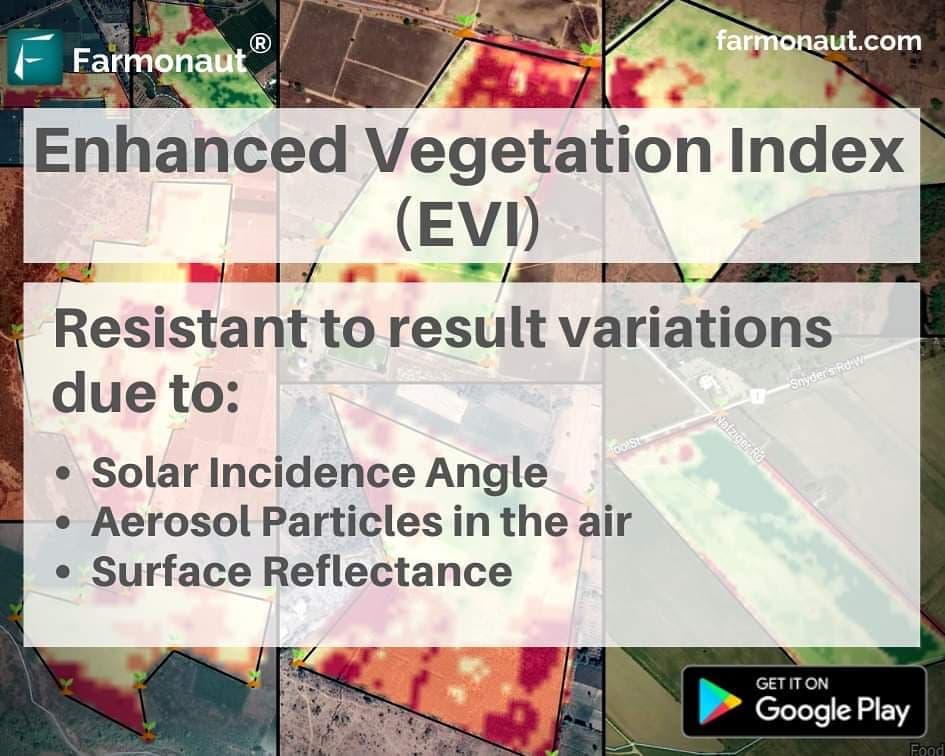
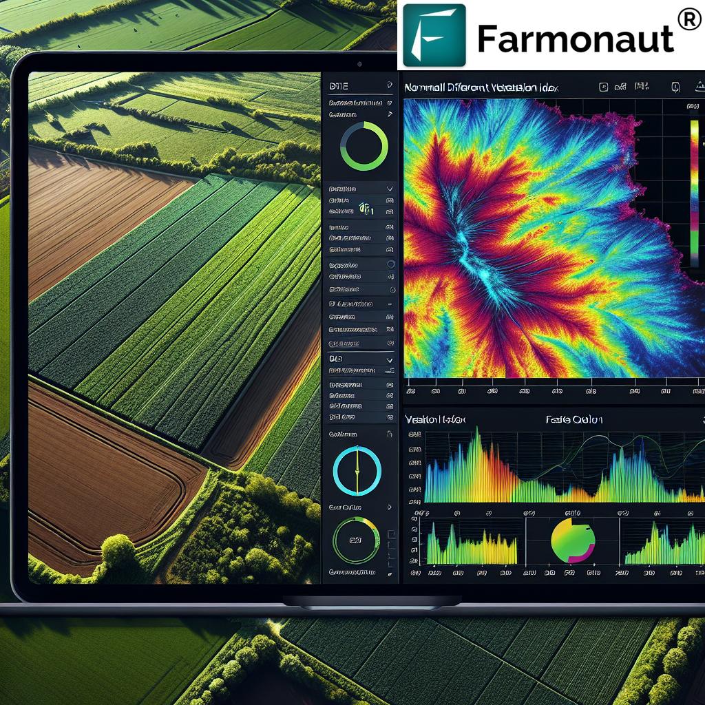
- NDVI (Normalized Difference Vegetation Index) analysis
- Soil moisture monitoring
- Early detection of pest and disease outbreaks
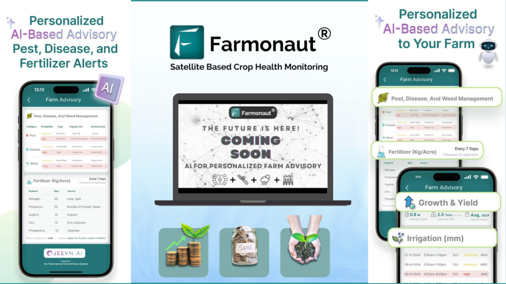
2. Jeevn AI Advisory System
Our AI-driven farm advisory tool uses the accurate boundary data to deliver even more personalized recommendations:
- Customized crop management strategies based on field-specific conditions
- Precise weather forecasts for your exact farm location
- Tailored irrigation and fertilization schedules
3. Blockchain-Based Traceability
Accurate farm boundaries enhance our blockchain traceability solution:
- Precise geo-tagging of produce from specific farm plots
- Enhanced transparency in supply chains
- Improved authenticity verification for premium and origin-specific products
4. Resource and Fleet Management
With clear boundaries, our resource management tools become even more effective:
- Optimized routing for farm machinery
- Accurate allocation of resources to specific field sections
- Enhanced tracking of equipment and assets within farm boundaries
The Future of Farm Mapping with Farmonaut
As we continue to innovate and refine our Automated AI-based Boundary Detection System, we’re excited about the future possibilities:
1. Integration with Drones
We’re exploring ways to combine our satellite-based system with drone technology for even higher resolution mapping and real-time boundary updates.
3. IoT Integration
We’re working on seamless integration with IoT devices, allowing for real-time data collection within precisely mapped farm boundaries.
4. Advanced AI for Crop Identification
Our AI will soon be able to not only detect boundaries but also identify crop types and growth stages within those boundaries automatically.
How to Get Started with Farmonaut’s Automated AI-based Boundary Detection System
Ready to revolutionize your farm mapping? Here’s how you can get started:
- Sign Up: Visit our website at https://farmonaut.com/app_redirect to create your account.
- Download the App: Get our mobile app from the Google Play Store or the Apple App Store.
- Enter Your Farm Coordinate: Simply input a single coordinate within your farm’s boundary.
- Let AI Do the Work: Our system will process the data and generate your farm map.
- Verify and Adjust: Review the generated map and make any necessary adjustments.
- Start Optimizing: Use your accurate farm map to enhance your farming practices and integrate with our other services.
For developers and businesses looking to integrate our technology into their own systems, we offer comprehensive API access. Check out our API documentation for more information.
Pricing and Subscription Options
We believe in making advanced agricultural technology accessible to farmers of all scales. That’s why we offer flexible pricing options to suit various needs and budgets:
Frequently Asked Questions (FAQ)
Q: How accurate is the Automated AI-based Boundary Detection System?
A: Our system achieves sub-meter accuracy in most cases, depending on the quality of available satellite imagery and the complexity of the farm’s layout.
Q: Can the system detect boundaries for any type of farm?
A: Yes, our AI is trained to recognize boundaries for various farm types, including crop fields, orchards, vineyards, and pastures.
Q: How often is the satellite imagery updated?
A: We use the most recent available imagery, which is typically updated every 1-5 days, depending on the location and our satellite partnerships.
Q: Can I manually adjust the boundaries if needed?
A: Absolutely. While our AI is highly accurate, we provide tools for users to fine-tune boundaries if necessary.
Q: Is my farm data kept confidential?
A: Yes, we take data privacy very seriously. All farm data is encrypted and stored securely, and we never share individual farm information without explicit consent.
Q: How does this system compare to drone-based mapping?
A: Our satellite-based system offers broader coverage and doesn’t require on-site equipment operation. It’s generally more cost-effective and faster for large areas compared to drone mapping.
Q: Can I integrate this system with my existing farm management software?
A: Yes, we offer API access that allows for integration with various farm management systems. Contact our support team for more information on integration options.
Conclusion: Embracing the Future of Farm Mapping
At Farmonaut, we’re committed to empowering farmers with cutting-edge technology that simplifies operations and enhances productivity. Our Automated AI-based Boundary Detection System is more than just a mapping tool; it’s a gateway to precision farming, efficient resource management, and sustainable agricultural practices.
By eliminating the uncertainties and inefficiencies of traditional mapping methods, we’re enabling farmers to focus on what they do best – growing crops and managing their land. Whether you’re a small-scale farmer looking to optimize your operations or a large agribusiness aiming to streamline management of vast acreages, our system is designed to meet your needs.
As we continue to innovate and expand our services, we invite you to join us on this journey towards a more efficient, productive, and sustainable future of farming. With Farmonaut’s Automated AI-based Boundary Detection System, precise farm mapping is no longer a luxury – it’s an accessible reality for farmers worldwide.
Ready to transform your farm mapping experience? Visit our website today to get started, or contact our support team for more information. Let’s map the future of agriculture together!


