Farmonaut’s Monumental Achievement: Processing 20 Million Farm-Level Satellite Images in 20 Days
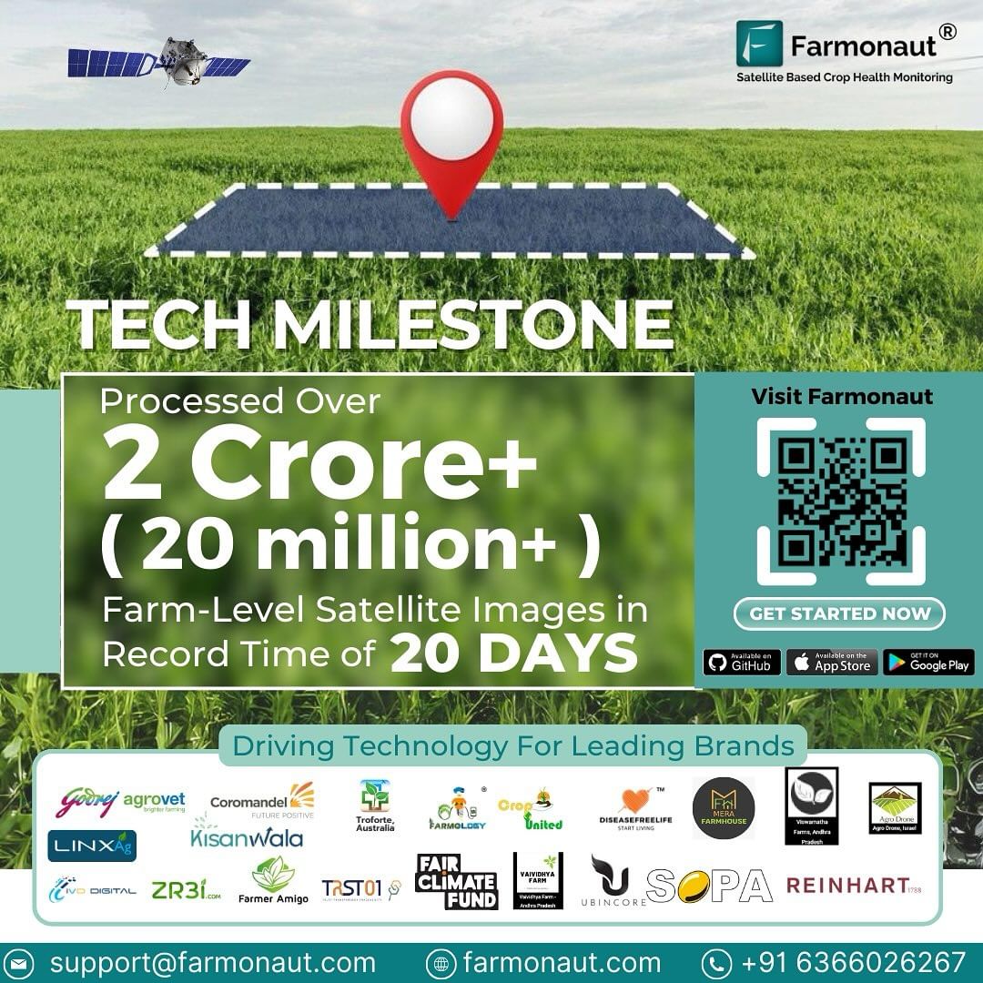
In an extraordinary leap forward, we at Farmonaut are thrilled to announce that our platform has processed over 20 million farm-level satellite images in an astonishing 20-day timeframe! This milestone isn’t just about farming; it’s about supporting businesses worldwide and revolutionizing the way we approach agricultural technology and environmental conservation.
The Power of Satellite Imagery in Agriculture
Satellite imagery has become an indispensable tool in modern agriculture, offering farmers and agribusinesses unprecedented insights into their operations. At Farmonaut, we harness this technology to provide real-time, accurate, and actionable data to our users.
Benefits of Satellite-Based Crop Monitoring
- Real-time crop health assessment
- Early detection of pest and disease outbreaks
- Precision irrigation management
- Accurate yield predictions
- Efficient resource allocation
Our recent achievement of processing 20 million farm-level satellite images in just 20 days showcases the immense potential of our technology. This rapid data processing capability allows us to provide timely insights to farmers, enabling them to make informed decisions quickly and effectively.
Beyond Agriculture: Supporting Global Initiatives
While our primary focus is on revolutionizing agriculture, the applications of our satellite imagery processing capabilities extend far beyond the farm. Two critical areas where our technology is making a significant impact are afforestation and deforestation monitoring.
Afforestation Efforts
Afforestation, the process of planting trees in areas where there were none before, is crucial in combating climate change and restoring ecosystems. Our satellite imagery processing capabilities support afforestation initiatives by:
- Identifying suitable areas for tree planting
- Monitoring the growth and health of newly planted forests
- Assessing the impact of afforestation on local ecosystems
- Providing data to optimize resource allocation in large-scale planting projects
Tackling Deforestation
Deforestation remains one of the most pressing environmental challenges of our time. Our rapid satellite image processing allows for:
- Near real-time detection of deforestation activities
- Accurate mapping of forest cover changes
- Monitoring of protected areas and conservation efforts
- Supporting law enforcement in identifying illegal logging operations
By providing timely and accurate data on forest cover changes, we empower conservation organizations, governments, and businesses to take swift action against deforestation and protect our planet’s vital ecosystems.
Farmonaut’s Technology: A Closer Look
At the heart of our achievement lies a suite of advanced technologies that work in harmony to deliver unparalleled insights. Let’s delve deeper into the key components that make Farmonaut a leader in agricultural technology:
1. Satellite-Based Crop Health Monitoring
Our platform utilizes multispectral satellite images to provide comprehensive crop health assessments. By analyzing various spectral bands, we can detect:
- Vegetation health through Normalized Difference Vegetation Index (NDVI)
- Soil moisture levels
- Chlorophyll content
- Crop stress indicators
This data empowers farmers to make informed decisions about irrigation, fertilizer application, and pest management, ultimately optimizing crop yields and reducing resource wastage.
2. Jeevn AI Advisory System
Our AI-driven personalized farm advisory tool, Jeevn AI, takes satellite data analysis to the next level. By combining satellite imagery with other crucial inputs, Jeevn AI provides:
- Real-time crop insights
- Accurate weather forecasts
- Customized crop management strategies
- Pest and disease risk assessments
This comprehensive advisory system helps farmers increase productivity, reduce risks, and optimize resource usage across their operations.
3. Blockchain-Based Product Traceability
In an era where consumers increasingly demand transparency in their food supply chains, our blockchain-based traceability solution offers unparalleled visibility. This technology:
- Tracks products from farm to consumer
- Ensures data integrity and security
- Reduces fraud in supply chains
- Enhances consumer trust in food products
By integrating blockchain with our satellite imagery capabilities, we provide a comprehensive solution for businesses looking to build trust with their customers and differentiate themselves in the market.
4. Fleet and Resource Management
Efficient management of agricultural machinery and resources is crucial for large-scale farming operations. Our fleet and resource management tools offer:
- Real-time tracking of agricultural vehicles
- Optimization of machinery usage
- Improved safety monitoring
- Cost reduction through efficient resource allocation
These features help agribusinesses streamline their operations, reduce downtime, and maximize the return on their equipment investments.
5. Carbon Footprinting
As sustainability becomes increasingly important in agriculture, our carbon footprinting feature allows businesses to:
- Monitor real-time emissions data
- Identify areas for reducing environmental impact
- Ensure compliance with environmental regulations
- Support sustainable farming practices
This tool is invaluable for businesses looking to reduce their carbon footprint and meet growing consumer demand for environmentally responsible products.
Farmonaut vs. Traditional Farm Monitoring Methods
To truly appreciate the power of Farmonaut’s satellite-based monitoring system, it’s essential to compare it with traditional methods like drone and IoT-based monitoring. Here’s a comprehensive comparison:
| Feature | Farmonaut Satellite System | Drone-based Monitoring | IoT-based Monitoring |
|---|---|---|---|
| Coverage Area | Global | Limited by flight range and regulations | Limited to sensor placement |
| Data Frequency | Daily to weekly updates | On-demand, weather dependent | Real-time, but localized |
| Cost Efficiency | High (no hardware required) | Moderate (equipment and operator costs) | Low to moderate (sensor and maintenance costs) |
| Ease of Use | Very high (cloud-based platform) | Moderate (requires skilled operators) | Moderate (requires setup and maintenance) |
| Data Processing Speed | Very fast (millions of images in days) | Moderate to slow (depends on processing capabilities) | Fast for individual sensors, slow for large-scale integration |
| Scalability | Highly scalable (global coverage) | Limited by equipment and personnel | Moderate (requires additional sensor deployment) |
| Weather Independence | High (can penetrate cloud cover) | Low (affected by wind, rain, etc.) | High for ground sensors, may be affected by extreme conditions |
| Multi-spectral Analysis | Advanced (multiple spectral bands) | Available, but limited by drone capabilities | Limited to specific sensor types |
As evident from the comparison, Farmonaut’s satellite-based system offers unparalleled coverage, scalability, and cost-efficiency, making it the ideal choice for modern agricultural monitoring needs.
The Impact of Rapid Data Processing
Our achievement of processing 20 million farm-level satellite images in just 20 days has far-reaching implications for various sectors:
1. Agriculture
- Faster response to crop health issues
- More accurate yield predictions
- Improved resource allocation
- Enhanced decision-making for farmers and agribusinesses
2. Environmental Conservation
- Rapid detection and response to deforestation activities
- More effective monitoring of afforestation projects
- Improved tracking of land use changes
3. Government and Policy
- Better informed agricultural policies
- More accurate subsidy distribution
- Enhanced disaster response and mitigation
4. Research and Development
- Accelerated agricultural research
- More comprehensive climate change studies
- Improved crop breeding programs
The Future of Farmonaut
As we celebrate this remarkable achievement, we’re already looking ahead to the future. Our commitment to innovation drives us to continuously improve our platform and expand our capabilities. Some of our future goals include:
- Enhancing our AI algorithms for even more accurate predictions
- Expanding our global coverage to reach more farmers and businesses
- Developing new applications for our satellite imagery processing capabilities
- Strengthening partnerships with research institutions and governments
- Further integrating blockchain technology for improved traceability
We believe that by continuing to push the boundaries of what’s possible with satellite imagery and data processing, we can play a crucial role in addressing global challenges such as food security, climate change, and environmental conservation.
Join the Farmonaut Revolution
Are you ready to experience the power of Farmonaut’s advanced agricultural technology? Here’s how you can get started:
- Download our mobile app:
Android App
iOS App - Explore our web platform: Farmonaut Web App
- Check out our API for developers: Farmonaut API
- Learn more about our weather API: Farmonaut Weather API Docs
Ready to subscribe to Farmonaut and revolutionize your farming practices? Use our convenient pricing table below:
Frequently Asked Questions (FAQ)
1. What makes Farmonaut’s satellite imagery processing unique?
Farmonaut’s ability to process millions of farm-level satellite images in record time sets us apart. This rapid processing allows for near real-time insights, enabling faster decision-making and response to agricultural and environmental challenges.
2. How often are satellite images updated on the Farmonaut platform?
The frequency of updates depends on the subscription tier, but we typically provide updates every 3-5 days for most areas, with some regions receiving daily updates.
3. Can Farmonaut’s technology be used for small farms?
Absolutely! Our platform is designed to be scalable and accessible to farms of all sizes, from small family-owned plots to large industrial operations.
4. How accurate is the crop health monitoring feature?
Our crop health monitoring is highly accurate, with an average accuracy rate of over 90% for most crop types. However, factors such as cloud cover and specific crop characteristics can influence accuracy.
5. Is Farmonaut’s data secure?
Yes, we take data security very seriously. All data is encrypted and stored securely, and we comply with international data protection regulations.
6. Can Farmonaut’s technology be integrated with other farm management software?
Yes, we offer API access that allows for integration with various farm management systems and other agricultural software.
7. How does Farmonaut contribute to sustainable farming practices?
By providing precise data on crop health, soil moisture, and resource usage, Farmonaut helps farmers optimize their inputs, reduce waste, and implement more sustainable farming practices.
8. What support does Farmonaut offer to users?
We provide comprehensive customer support, including tutorial videos, documentation, and direct assistance from our team of agricultural experts.
9. How does Farmonaut’s pricing work?
We offer flexible subscription plans based on the area monitored and the frequency of updates. Please refer to our pricing table above for detailed information.
10. Can Farmonaut’s technology be used in areas with limited internet connectivity?
While internet connectivity is required for real-time updates, our mobile app allows for offline access to previously downloaded data, making it usable in areas with limited connectivity.
Conclusion
Farmonaut’s achievement of processing 20 million farm-level satellite images in just 20 days marks a significant milestone in the field of agricultural technology. This feat not only showcases our technological prowess but also highlights the immense potential of satellite imagery in revolutionizing farming practices and supporting crucial environmental initiatives.
As we continue to push the boundaries of what’s possible with satellite technology and data processing, we remain committed to our mission of making precision agriculture accessible and affordable for farmers worldwide. By providing timely, accurate, and actionable insights, we’re not just improving agricultural productivity – we’re contributing to global food security, supporting sustainable practices, and helping to address some of the most pressing environmental challenges of our time.
Join us in this agricultural revolution. Whether you’re a small-scale farmer, a large agribusiness, or an organization focused on environmental conservation, Farmonaut has the tools and insights you need to make a difference. Together, we can build a more sustainable and productive future for agriculture and our planet.


