Here’s a comprehensive blog post based on your requirements:
Farmonaut’s Milestone: Processing 2.2 Million+ Farm Level Satellite Images in 31 Days
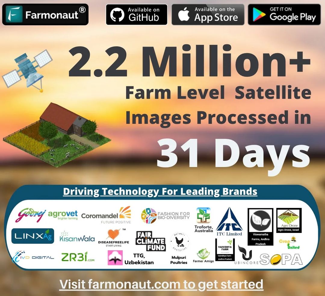
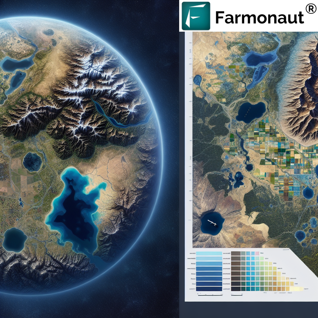
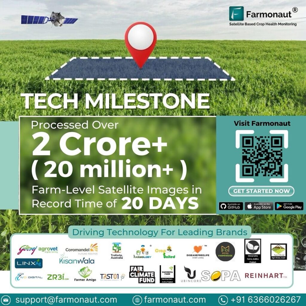
At Farmonaut, we’re thrilled to announce a groundbreaking achievement in our mission to revolutionize agriculture through cutting-edge technology. In just 31 days, we’ve processed an astounding 2.2 million+ farm level satellite images, marking a significant milestone in our journey to transform the agricultural landscape.
The Power of Satellite Imagery in Agriculture
Our achievement isn’t just about numbers; it’s about the immense potential that
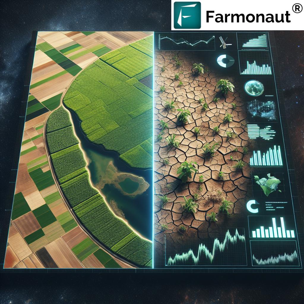
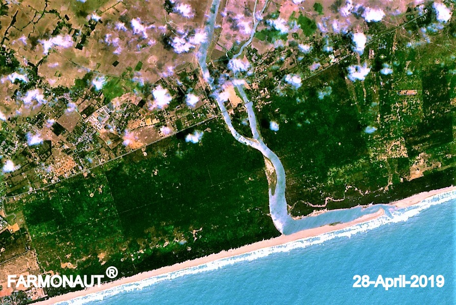
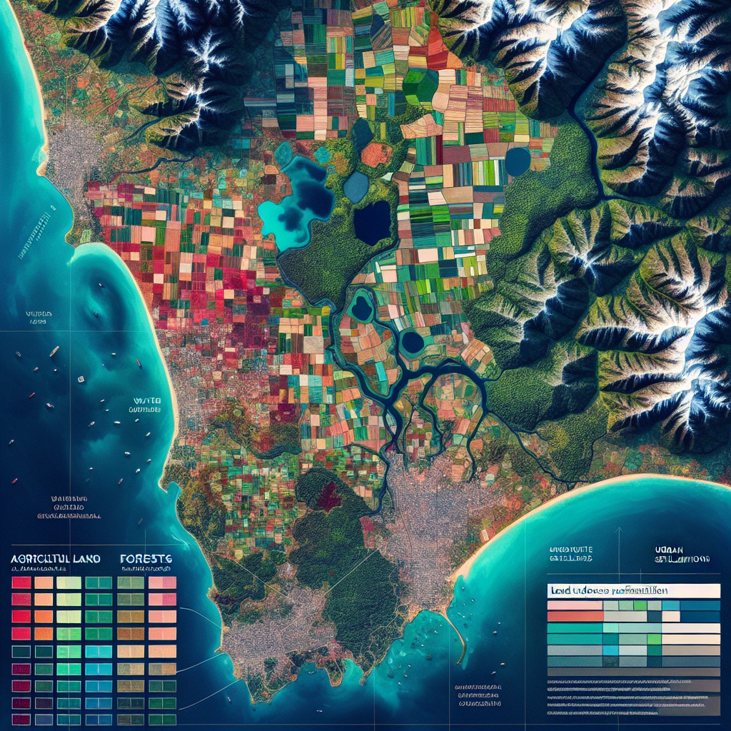
satellite imagery in farming holds for the future of agriculture. By harnessing this technology, we’re providing invaluable insights to farmers, researchers, and agricultural stakeholders worldwide.
Why Satellite Imagery Matters in Agriculture
- Real-time crop monitoring
- Precision agriculture
- Resource optimization
- Early detection of crop stress
- Yield prediction
The ability to process such a vast number of images in a short time frame demonstrates our commitment to delivering timely and accurate data to our users. This rapid processing capability is crucial in an industry where time-sensitive decisions can make or break a harvest.
Farmonaut’s Innovative Approach to Agricultural Technology
At the heart of our success is our innovative approach to
agriculture technology. We’ve developed a robust
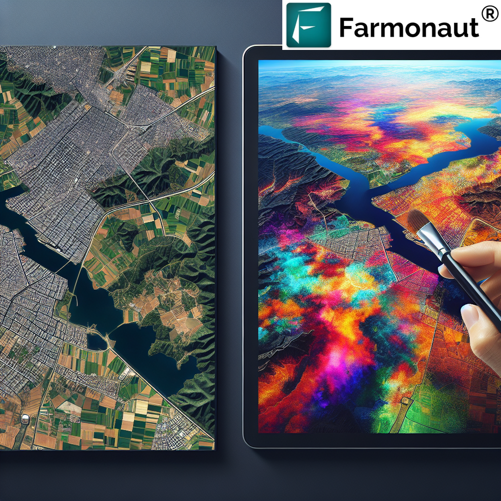
satellite imagery API that allows us to efficiently process and analyze vast amounts of data, turning raw satellite images into actionable insights for farmers and agribusinesses.
Key Features of Our Satellite Imagery API
- High-resolution imagery
- Multi-spectral analysis
- AI-powered interpretation
- Customizable data outputs
- Seamless integration with farm management systems
Our API is designed to be user-friendly and accessible, allowing developers and businesses to easily integrate our satellite data into their own agricultural applications. Learn more about our API
here.
The Impact of Remote Sensing in Crop Monitoring
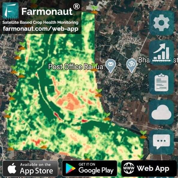
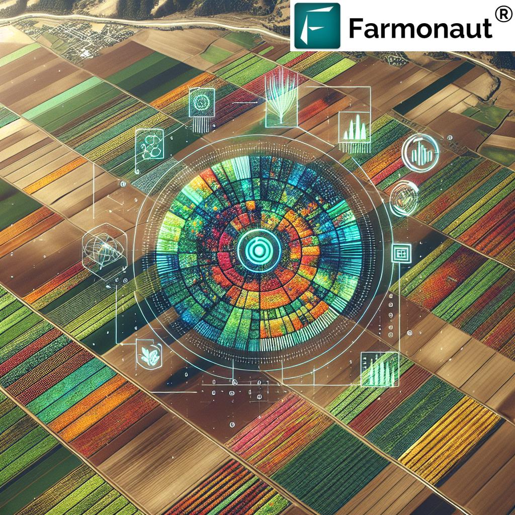
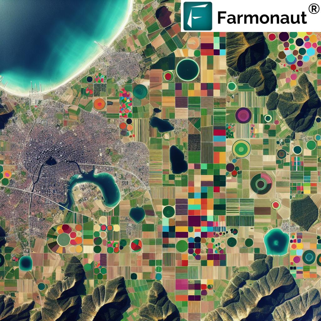
Remote sensing crop monitoring has revolutionized the way we approach agriculture. By utilizing satellite technology, we’re able to provide farmers with a bird’s-eye view of their fields, offering insights that were previously impossible to obtain.
Benefits of Remote Sensing in Agriculture
- Non-invasive monitoring of crop health
- Large-scale coverage of agricultural areas
- Frequent and consistent data collection
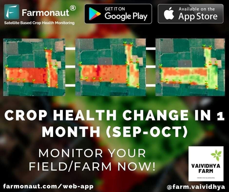
- Ability to detect issues before they’re visible to the naked eye
- Cost-effective compared to traditional monitoring methods
Our advanced
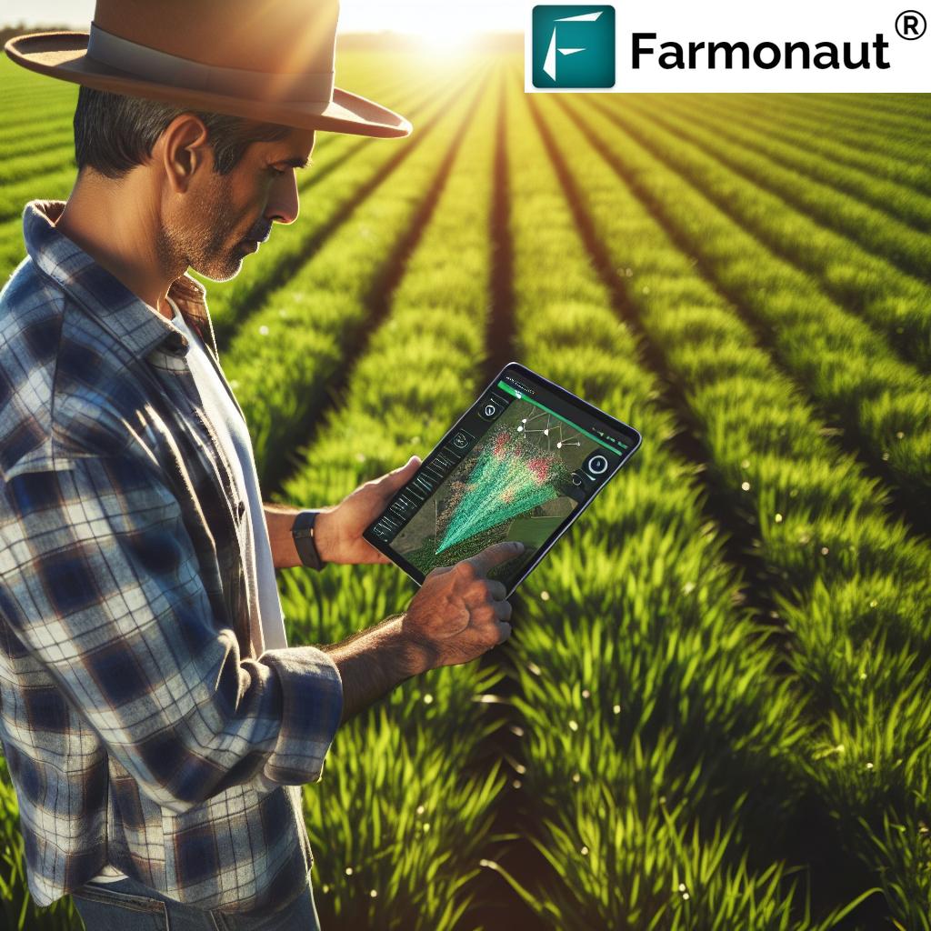
crop monitoring system uses cutting-edge algorithms to analyze satellite data, providing farmers with detailed information about their crops’ health, growth patterns, and potential issues.
Farmonaut’s Satellite System vs. Drone and IoT-based Farm Monitoring
| Feature |
Farmonaut Satellite System |
Drone-based Monitoring |
IoT-based Monitoring |
| Coverage Area |
Large-scale (Global) |
Limited (Local) |
Very Limited (Field-specific) |
| Data Collection Frequency |
Daily |
On-demand |
Continuous |
| Initial Setup Cost |
Low |
High |
Medium |
| Maintenance Required |
Minimal |
Regular |
Frequent |
| Weather Dependency |
Low |
High |
Medium |
| Data Processing Time |
Fast |
Medium |
Real-time |
| Scalability |
Highly Scalable |
Moderately Scalable |
Limited Scalability |
The Future of Agriculture is Here
As we celebrate this milestone, we’re more excited than ever about the future of agriculture. Our ability to process 2.2 million+ farm level satellite images in just 31 days is a testament to the power of technology in revolutionizing farming practices.
What This Means for Farmers
- More accurate and timely crop health assessments
- Better decision-making tools for resource management
- Increased crop yields and reduced waste
- Enhanced ability to predict and mitigate crop diseases
- Improved sustainability in farming practices
We’re proud to be at the forefront of this agricultural revolution, providing farmers with the tools they need to succeed in an increasingly challenging environment.
Join the Farmonaut Revolution
Are you ready to take your farming practices to the next level? Join the thousands of farmers and agricultural professionals who are already benefiting from Farmonaut’s cutting-edge technology.
Download our app today:
For developers interested in integrating our satellite imagery API into their applications, check out our
API documentation.
FAQ
Q: What is satellite imagery in farming?
A: Satellite imagery in farming refers to the use of satellite-based remote sensing technology to capture and analyze images of agricultural land. These images provide valuable information about crop health, soil conditions, and other important agricultural metrics.
Q: How does Farmonaut’s satellite imagery API work?
A: Our satellite imagery API allows developers and businesses to access our vast database of satellite images and processed agricultural data. It provides endpoints for retrieving various types of agricultural information, such as vegetation indices, crop health metrics, and weather data.
Q: What are the benefits of remote sensing crop monitoring?
A: Remote sensing crop monitoring offers numerous benefits, including non-invasive observation of large areas, frequent data collection, early detection of crop issues, and cost-effective monitoring compared to traditional methods.
Q: How often does Farmonaut update its satellite imagery?
A: Farmonaut processes millions of farm level satellite images regularly. The frequency of updates can vary depending on the specific location and satellite coverage, but we strive to provide the most up-to-date information possible.
Q: Can Farmonaut’s technology be used for small farms?
A: Absolutely! Our technology is scalable and can be used for farms of all sizes, from small family-owned plots to large commercial operations.
Q: How does satellite imagery compare to drone-based monitoring?
A: While both have their advantages, satellite imagery offers broader coverage and more frequent data collection without the need for on-site equipment or personnel. It’s also generally more cost-effective for large-scale monitoring.
Q: Is Farmonaut’s technology suitable for all types of crops?
A: Yes, our technology can be applied to a wide range of crops. The satellite imagery and analysis techniques we use are versatile and can provide valuable insights for various types of vegetation.
Q: How can I get started with Farmonaut?
A: You can start by downloading our app from the
Google Play Store or
Apple App Store. For more advanced users or businesses, you can explore our API options
here.
As we continue to push the boundaries of what’s possible in agricultural technology, we invite you to join us on this exciting journey. Together, we can create a more sustainable and productive future for agriculture worldwide.
For more information about Farmonaut and our services, visit our
website or contact our team of experts. Let’s revolutionize agriculture together!
 At Farmonaut, we’re thrilled to announce a groundbreaking achievement in our mission to revolutionize agriculture through cutting-edge technology. In just 31 days, we’ve processed an astounding 2.2 million+ farm level satellite images, marking a significant milestone in our journey to transform the agricultural landscape.
 At Farmonaut, we’re thrilled to announce a groundbreaking achievement in our mission to revolutionize agriculture through cutting-edge technology. In just 31 days, we’ve processed an astounding 2.2 million+ farm level satellite images, marking a significant milestone in our journey to transform the agricultural landscape.


