Revolutionizing Agriculture: Farmonaut’s Smartphone-Less Satellite Advisory System
At Farmonaut, we have always been committed to making precision agriculture accessible to all farmers, regardless of their technological capabilities. We’re excited to share our latest innovation that takes this commitment a step further: our Smartphone-Less Satellite Advisory System. This groundbreaking solution ensures that even farmers without smartphones can benefit from our advanced satellite-based crop health monitoring and advisory services.
The Challenge: Bridging the Digital Divide in Agriculture
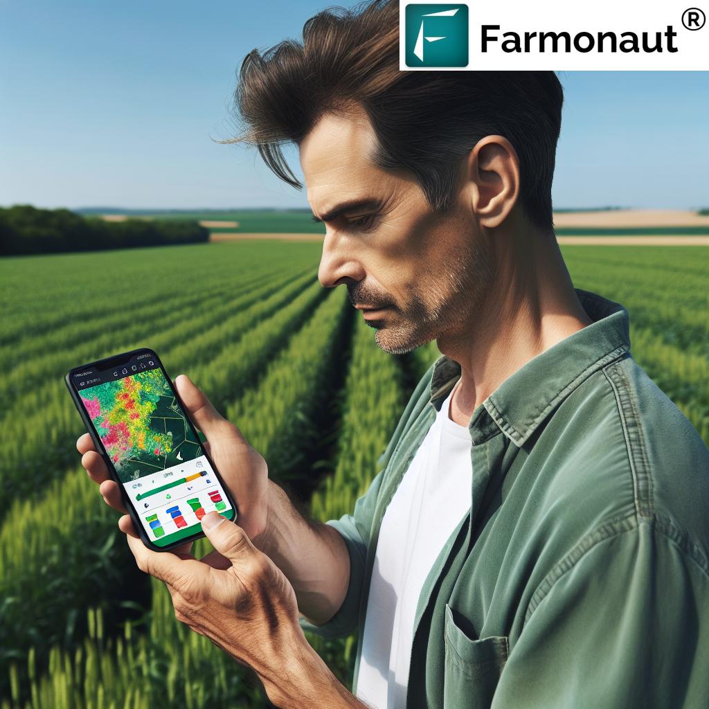
While we at Farmonaut have successfully provided satellite data directly to farmers through our Android, iOS, and web platforms, monitoring millions of hectares of farmlands globally, we recognized a significant challenge. A considerable proportion of farmers, especially in developing regions, do not have access to smartphones or are not comfortable using advanced mobile applications.
This digital divide has been a persistent obstacle in the widespread adoption of precision agriculture techniques. It has limited the reach of valuable agricultural insights and potentially left many farmers at a disadvantage in an increasingly competitive and climate-challenged agricultural landscape.
Our Solution: The Smartphone-Less Satellite Advisory System
To address this challenge and ensure that no farmer is left behind in the agricultural technology revolution, we have introduced our Smartphone-Less Satellite Advisory System. This innovative solution allows farmers without smartphones to receive critical insights about their farms, helping them make informed decisions and optimize their crop management practices.
Key Features of the Smartphone-Less System:
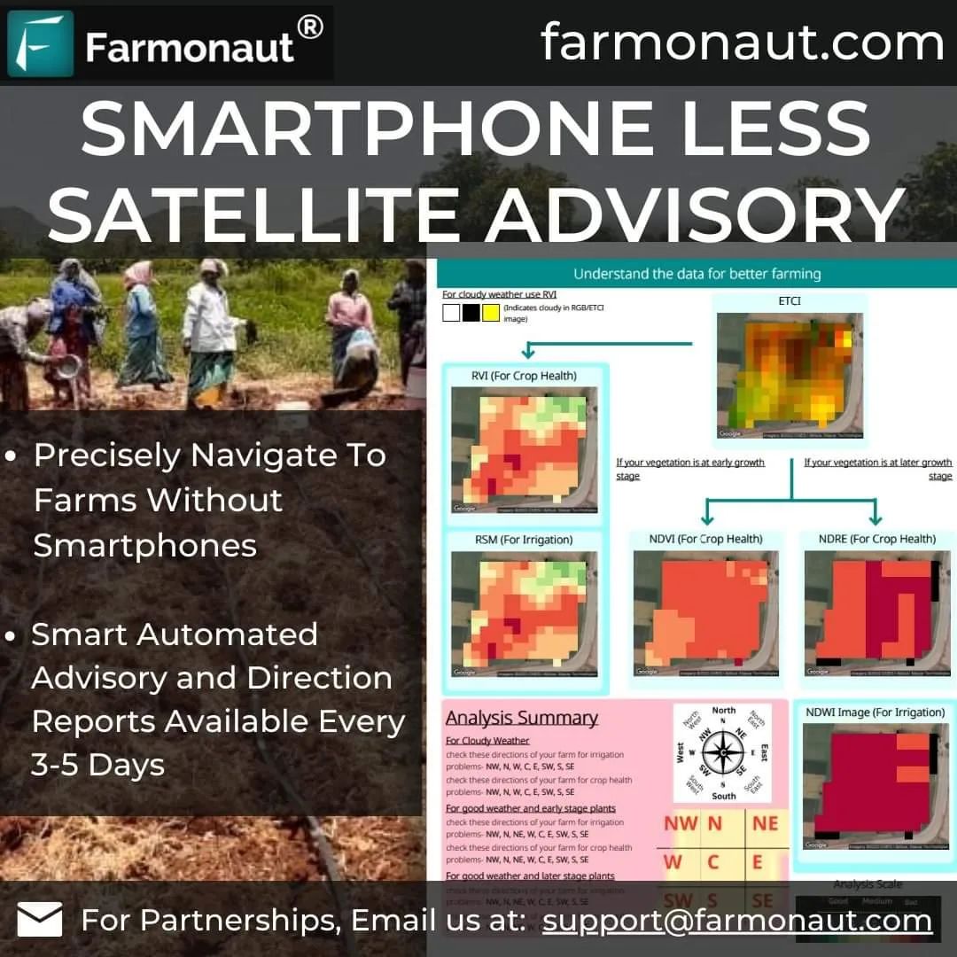
- Printed Reports: Farmers receive printed reports of their farm’s health and performance every five days.
- Self-Explanatory Format: The reports are designed to be easily understood, even by those with limited technical knowledge.
- Precise Navigation: Farmers can accurately locate underperforming areas of their farms without the need for GPS-enabled devices.
- Regional Language Support: Reports are automatically generated in the farmer’s regional language, ensuring clear communication.
- Regular Updates: The five-day update cycle ensures farmers have access to timely information throughout the growing season.
Pilot Program: Empowering Wheat Farmers in Sehore, Madhya Pradesh
We’re thrilled to announce that we’ve launched a pilot program for our Smartphone-Less Satellite Advisory System in collaboration with ITC Limited. This program focuses on wheat farmers in Sehore, Madhya Pradesh, India. Here’s how it works:
- ITC Limited maps the farms of participating farmers using our remote sensing technology.
- Our system generates detailed reports on crop health and farm performance.
- These reports are printed and distributed to farmers every five days.
- Farmers use these reports to identify areas of concern and take appropriate action.
This pilot program represents a significant step forward in our mission to democratize access to advanced agricultural technologies and smart farming techniques.
The Technology Behind Our Smartphone-Less Solution
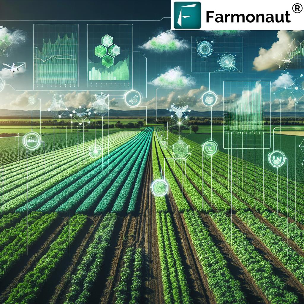
Our Smartphone-Less Satellite Advisory System is powered by the same cutting-edge technology that drives our digital platforms. Here’s a deeper look at the technological foundation of this innovative solution:
1. Advanced Satellite Imagery
We utilize high-resolution satellite imagery to capture detailed views of farmlands. Our system processes multispectral data to assess various aspects of crop health and field conditions. This includes:
- Normalized Difference Vegetation Index (NDVI) for assessing plant health and vigor
- Soil moisture analysis to guide irrigation decisions
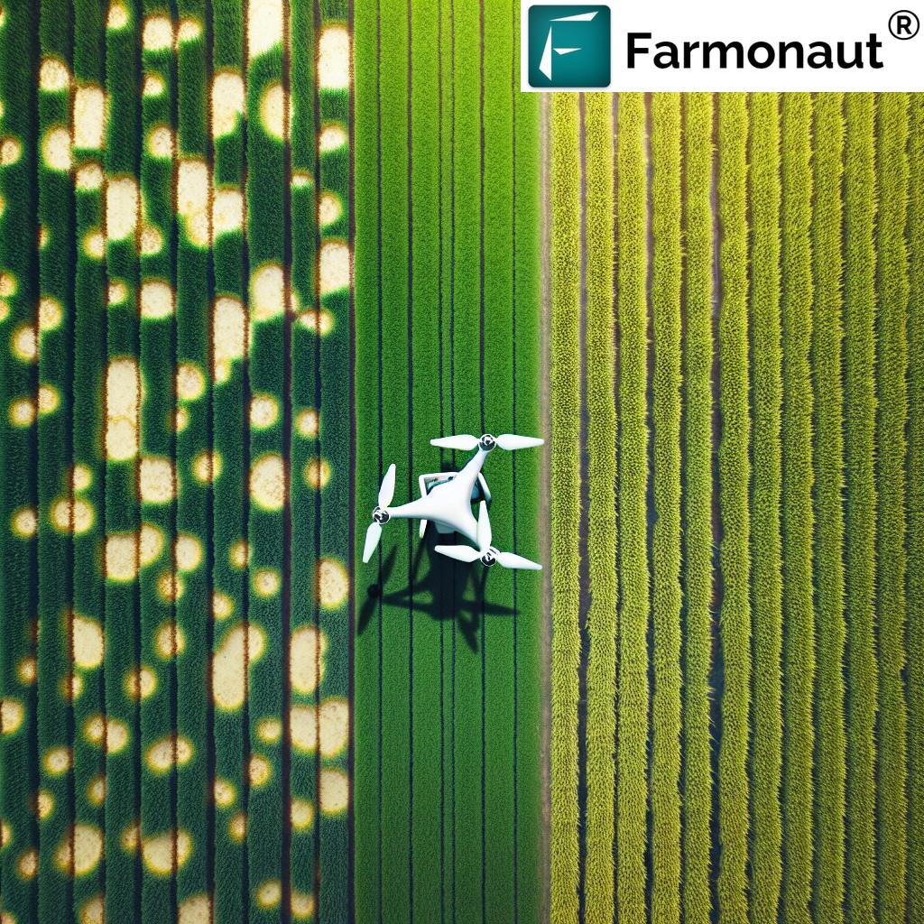
- Detection of pest infestations and disease outbreaks
- Identification of nutrient deficiencies
By leveraging these advanced remote sensing techniques, we can provide farmers with a comprehensive view of their fields’ health without the need for on-ground sensors or smartphone apps.
2. Artificial Intelligence and Machine Learning
Our AI-powered algorithms analyze the satellite data to generate actionable insights. This includes:
- Predictive analytics for crop yield estimation
- Early warning systems for potential crop stressors
- Customized recommendations for crop management practices
- Historical data analysis to identify long-term trends and patterns
These AI-driven insights are then translated into easy-to-understand recommendations in the printed reports.
3. Geospatial Mapping and Precise Location Services
Even without GPS-enabled smartphones, our system allows farmers to accurately locate specific areas of their fields. We achieve this through:
- Detailed geospatial mapping of farm boundaries
- Creation of grid-based field maps with clear reference points
- Use of natural landmarks and field features for orientation
This enables farmers to navigate their fields with precision, focusing their efforts on areas that require the most attention.
4. Automated Reporting and Translation Systems
To ensure that our reports are accessible to all farmers, regardless of their language preferences, we’ve developed:
- An automated report generation system that compiles insights into a clear, visual format
- A robust translation engine that accurately converts reports into various regional languages
- A design system that uses universal symbols and color-coding for easy comprehension
This technology stack ensures that our Smartphone-Less Satellite Advisory System delivers the same level of insight and precision as our digital platforms, but in a format that’s accessible to all farmers.
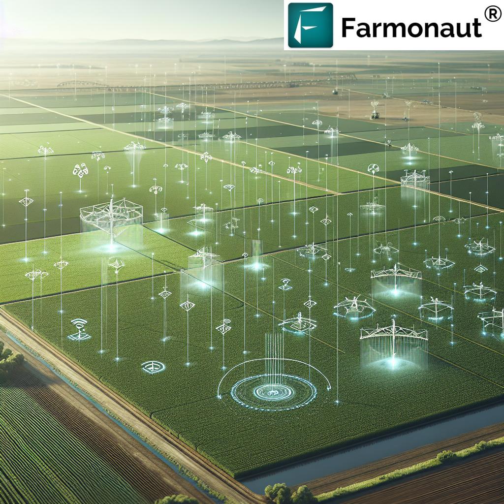
Comparing Farmonaut’s Satellite System to Drone and IoT-Based Farm Monitoring
While drones and IoT devices have their place in modern agriculture, our satellite-based system offers several distinct advantages. Here’s a comparison table highlighting why Farmonaut’s solution stands out:
| Feature | Farmonaut Satellite System | Drone-based Monitoring | IoT-based Monitoring |
|---|---|---|---|
| Coverage Area | Large scale (thousands of hectares) | Limited (few hectares per flight) | Limited to sensor placement |
| Frequency of Data Collection | Regular (every few days) | As needed (manual flights required) | Continuous (for installed sensors) |
| Initial Investment | Low (subscription-based) | High (drone purchase and training) | High (sensors and network setup) |
| Operational Complexity | Low (automated data collection) | High (requires skilled operators) | Medium (requires maintenance) |
| Weather Dependency | Low (can penetrate clouds) | High (affected by wind and rain) | Low (but sensors can be damaged) |
| Scalability | Highly scalable | Limited by equipment and personnel | Requires additional sensor installation |
| Accessibility for Small Farmers | High (low-cost, easy to use) | Low (high cost and skill requirement) | Medium (depends on scale) |
As this comparison shows, our satellite-based system offers unparalleled coverage, ease of use, and accessibility, making it an ideal choice for farmers of all scales.
The Impact: Democratizing Precision Agriculture
The introduction of our Smartphone-Less Satellite Advisory System represents a significant leap forward in democratizing access to precision agriculture technologies. Here’s how this innovation is set to transform the agricultural landscape:
1. Bridging the Technology Gap
By providing advanced agricultural insights without the need for smartphones or internet connectivity, we’re ensuring that farmers in even the most remote areas can benefit from cutting-edge agricultural technologies. This levels the playing field and helps close the digital divide in agriculture.
2. Empowering Small-Scale Farmers
Small-scale farmers, who often lack the resources to invest in expensive precision agriculture tools, can now access valuable insights about their crops. This empowers them to make data-driven decisions, potentially increasing their yields and income.
3. Promoting Sustainable Farming Practices
With precise information about crop health and field conditions, farmers can optimize their use of resources such as water and fertilizers. This not only reduces costs but also promotes more sustainable and environmentally friendly farming practices.
4. Enhancing Food Security
By helping farmers improve their crop yields and reduce losses, our system contributes to enhanced food security at both local and global levels. This is particularly crucial in regions where agriculture is the primary source of livelihood and food production.
5. Facilitating Knowledge Transfer
The regular reports serve as educational tools, helping farmers understand the principles of precision agriculture and smart farming. Over time, this can lead to a more knowledgeable and skilled farming community.
Future Developments and Expansion Plans
While we’re excited about the launch of our Smartphone-Less Satellite Advisory System, we see this as just the beginning. Our team at Farmonaut is constantly working on new innovations to further enhance our services and reach more farmers. Here are some of the developments we’re looking forward to:
1. Expanding Regional Coverage
Following the success of our pilot program in Sehore, Madhya Pradesh, we plan to expand our Smartphone-Less Satellite Advisory System to other regions across India and eventually to other countries. Our goal is to reach farmers in diverse agro-climatic zones, adapting our system to meet their specific needs.
2. Enhancing Crop Diversity
While our pilot program focuses on wheat farmers, we’re working on expanding our system to cover a wider range of crops. This includes staple grains, cash crops, fruits, and vegetables, ensuring that farmers across various agricultural sectors can benefit from our technology.
3. Integration with Local Agricultural Extension Services
We’re exploring partnerships with government agricultural extension services to integrate our satellite-based insights with on-ground support. This combination of high-tech monitoring and personalized local guidance could significantly enhance the impact of our system.
4. Development of Low-Tech Companion Tools
To complement our printed reports, we’re developing simple, low-tech tools that farmers can use to implement the recommendations more effectively. These might include basic soil testing kits, color-coded irrigation guides, or simplified pest identification charts.
5. Community-Based Learning Programs
We’re designing community-oriented programs where farmers can come together to discuss the insights from their reports, share experiences, and learn from each other. This peer-to-peer learning approach can accelerate the adoption of best practices and foster a sense of community among farmers.
6. Continuous Improvement of AI Algorithms
Our team of data scientists and agricultural experts are constantly refining our AI algorithms to improve the accuracy and relevance of our insights. As we gather more data from diverse farming conditions, our system will become even more precise and valuable.
7. Integration with Climate Resilience Initiatives
Given the increasing challenges posed by climate change, we’re working on incorporating long-term climate data and predictions into our advisory system. This will help farmers adapt their practices to become more resilient to changing weather patterns and extreme events.
How to Get Started with Farmonaut’s Services
Whether you’re a tech-savvy farmer looking to leverage our full suite of digital tools or a traditional farmer interested in our Smartphone-Less Satellite Advisory System, getting started with Farmonaut is easy. Here’s how you can access our services:
For Smartphone and Web Users:
- Mobile Apps: Download our app from the Google Play Store for Android devices or the App Store for iOS devices.
- Web Platform: Visit our web application to access our services from any internet-connected device.
- Create an Account: Sign up for a free account to start exploring our basic features.
- Choose a Plan: Select a subscription plan that best fits your needs and farm size.
For Smartphone-Less Advisory System:
- Contact Us: Reach out to our team at support@farmonaut.com to express your interest in the Smartphone-Less Satellite Advisory System.
- Farm Registration: We’ll work with you or local partners to register your farm in our system.
- Receive Reports: Once registered, you’ll start receiving regular printed reports with insights about your farm.
For Developers and API Access:
- Visit our API portal to learn about our satellite data API.
- Check out our developer documentation for detailed information on integrating our services.
- Contact our team to discuss custom solutions and pricing for API access.
Subscribe to Farmonaut Services:
Ready to take your farming to the next level? Choose a plan that suits your needs:
Frequently Asked Questions (FAQ)
Here are some common questions about Farmonaut’s services and our new Smartphone-Less Satellite Advisory System:
Q1: How accurate is satellite-based crop monitoring?
A: Our satellite-based crop health monitoring system is highly accurate, with resolution down to 10 meters. It can detect subtle changes in crop health, soil moisture, and other key indicators. However, it’s important to note that satellite data is most effective when combined with on-ground observations.
Q2: How often are the satellite images updated?
A: For our digital platforms, we provide updates every 1-5 days, depending on the subscription plan. For the Smartphone-Less Advisory System, farmers receive printed reports every 5 days.
Q3: Can the Smartphone-Less system work for small farms?
A: Yes, our system is designed to work for farms of all sizes. The printed reports are tailored to each farm’s specific dimensions and characteristics.
Q4: What types of insights does the system provide?
A: Our system provides insights on crop health, pest and disease risks, irrigation needs, nutrient deficiencies, and yield estimates. The reports also include actionable recommendations based on these insights.
Q5: Is the Smartphone-Less system available everywhere?
A: Currently, we’re piloting the system in select regions. We plan to expand its availability based on the success of these pilots. Contact us to inquire about availability in your area.
Q6: How does Farmonaut compare to other precision agriculture solutions?
A: Farmonaut stands out for its accessibility, affordability, and the breadth of its offerings. Unlike solutions that require expensive equipment or technical expertise, our satellite-based system can be used by farmers of all technological backgrounds.
Q7: Can I switch between the smartphone app and the printed reports?
A: Yes, we offer flexibility in how you receive our insights. You can use our digital platforms when convenient and opt for printed reports when needed.
Q8: How does the system account for different crop types?
A: Our AI algorithms are trained on a wide variety of crops and can adjust their analysis based on the specific crop type in each field. When you register your farm, you’ll provide information about your crops to ensure accurate insights.
Q9: Is training required to understand the reports?
A: While our reports are designed to be self-explanatory, we do offer training sessions and support to help farmers make the most of the insights provided. Local agricultural extension officers can also assist in interpreting the reports.
Q10: How does Farmonaut contribute to sustainable agriculture?
A: By providing precise information about crop needs, our system helps farmers optimize their use of water, fertilizers, and pesticides. This not only reduces costs but also minimizes the environmental impact of farming activities.
Conclusion: A New Era of Inclusive Smart Farming
At Farmonaut, we believe that the benefits of precision agriculture and smart farming should be accessible to all farmers, regardless of their technological capabilities. Our Smartphone-Less Satellite Advisory System represents a significant step towards this goal, bridging the digital divide and empowering farmers with crucial insights to improve their crop management practices.
As we continue to innovate and expand our services, we remain committed to our mission of making advanced agricultural technologies accessible, affordable, and impactful. Whether through our digital platforms or our new printed report system, we’re dedicated to supporting farmers in their quest for more productive, profitable, and sustainable agriculture.
We invite farmers, agricultural organizations, and technology partners to join us on this exciting journey. Together, we can cultivate a future where data-driven insights empower farmers worldwide, ensuring food security and agricultural prosperity for generations to come.
Stay tuned for more exciting developments from Farmonaut. The future of agriculture is here, and it’s accessible to everyone.
Happy Farming! 🌱🚜🌍


