Mapping Cotton Farms in Maharashtra: Enhancing Crop Health and Yield Estimation
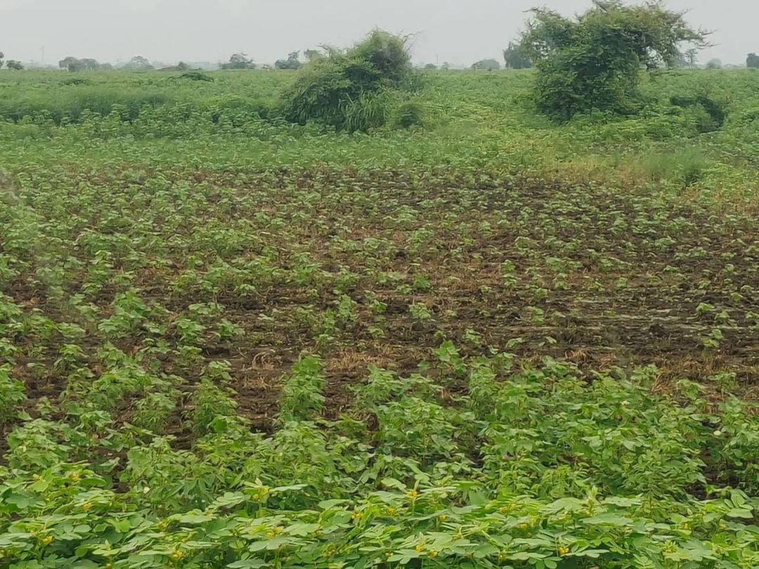
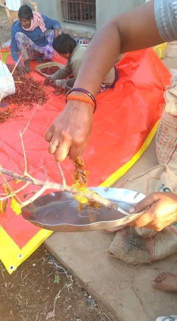
At Farmonaut, we’re excited to share our latest achievement in the realm of precision agriculture. In just three days, we’ve successfully mapped over 150 cotton farms across Maharashtra, India. This significant milestone not only showcases our technological capabilities but also marks a crucial step towards strengthening our crop health monitoring and yield estimation services.
The Importance of Cotton Farming in Maharashtra
Maharashtra is one of India’s leading cotton-producing states, contributing significantly to the country’s agricultural output. Cotton farming plays a vital role in the state’s economy, providing livelihood to millions of farmers. However, the sector faces numerous challenges, including climate variability, pest infestations, and resource constraints. Our mapping initiative aims to address these issues by providing farmers with actionable insights derived from satellite imagery and advanced analytics.
Leveraging Remote Sensing for Cotton Farm Mapping
Remote sensing technology has revolutionized the way we monitor and manage agricultural lands. At Farmonaut, we harness the power of satellite imagery to capture detailed information about cotton farms across vast areas. This approach offers several advantages over traditional ground-based surveys:
- Cost-effective coverage of large areas
- Frequent and consistent data collection
- Non-invasive monitoring without disturbing crops
- Ability to detect spatial patterns and anomalies
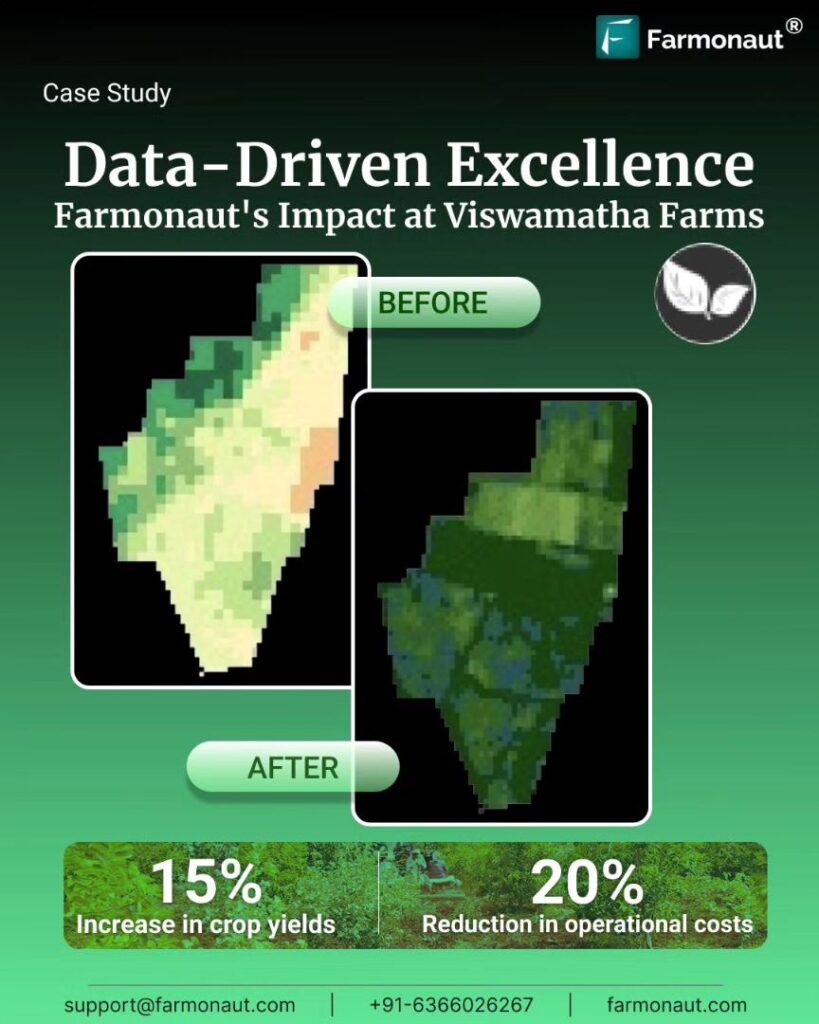
By mapping over 150 cotton farms in just three days, we’ve demonstrated the efficiency and scalability of our remote sensing capabilities. This rapid data collection allows us to provide timely insights to farmers and stakeholders, enabling them to make informed decisions throughout the growing season.
Enhancing Crop Health Monitoring
One of the primary objectives of our mapping initiative is to strengthen our crop health monitoring capabilities. Healthy cotton plants are essential for optimal yield and quality. Our satellite-based monitoring system allows us to track various indicators of crop health, including:
- Vegetation indices (e.g., NDVI, EVI)
- Chlorophyll content
- Leaf area index
- Water stress
- Nutrient deficiencies
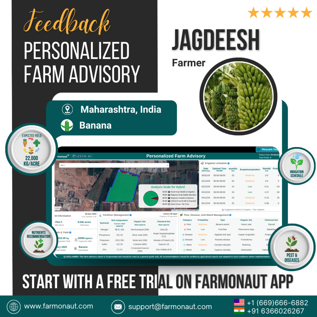
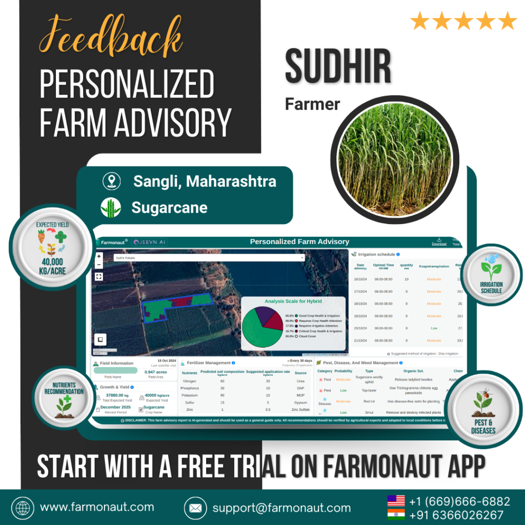
By analyzing these parameters over time, we can detect early signs of stress or disease, enabling farmers to take proactive measures to protect their crops. Our Jeevn AI Advisory System processes this data to provide personalized recommendations for irrigation, fertilization, and pest management, optimizing resource use and minimizing environmental impact.
Improving Yield Estimation Accuracy
Accurate yield estimation is crucial for farmers, agribusinesses, and policymakers. It helps in planning harvesting operations, managing storage and transportation, and making informed market decisions. Our mapping initiative contributes to improving the accuracy of cotton yield estimates in several ways:
- Precise measurement of cultivated area
- Assessment of crop growth stages
- Identification of spatial variability within fields
- Integration of historical yield data and weather information
While the specific yield estimation formula may vary depending on the crop and region, our approach typically involves the following components:
- Satellite-derived vegetation indices
- Historical yield data
- Weather parameters (temperature, rainfall, solar radiation)
- Soil characteristics
- Management practices
By combining these factors with advanced machine learning algorithms, we can generate more accurate and timely yield forecasts. This information is invaluable for farmers planning their harvest and marketing strategies, as well as for policymakers assessing food security and economic impacts.
Comparing Farmonaut’s Satellite System with Drone and IoT-based Monitoring
While drones and IoT devices have their place in modern agriculture, Farmonaut’s satellite-based monitoring system offers unique advantages for large-scale cotton farming. Here’s a comparison of these technologies:
| Feature | Farmonaut Satellite System | Drone-based Monitoring | IoT-based Monitoring |
|---|---|---|---|
| Coverage Area | Vast (regional to global) | Limited (local) | Very limited (field-level) |
| Data Collection Frequency | Daily to weekly | On-demand (weather dependent) | Continuous |
| Initial Setup Cost | Low | High | Medium to High |
| Operational Complexity | Low (cloud-based) | High (requires skilled operators) | Medium (requires maintenance) |
| Scalability | Highly scalable | Limited scalability | Moderate scalability |
| Data Integration | Easy (standardized data) | Moderate | Can be complex |
| Regulatory Compliance | Simple | Complex (aviation regulations) | Moderate |
As the table illustrates, Farmonaut’s satellite-based system offers unparalleled coverage, scalability, and ease of use, making it ideal for monitoring large cotton farming regions like Maharashtra.
The Impact on Cotton Yield in India
India is one of the world’s largest cotton producers, with a significant contribution coming from Maharashtra. The cotton yield per acre in India has been steadily increasing over the years, thanks to improved farming practices and technological interventions. However, there’s still room for improvement when compared to global leaders in cotton production.
Our mapping and monitoring initiatives aim to boost cotton yields by:
- Providing timely alerts for pest and disease outbreaks
- Optimizing irrigation schedules based on real-time soil moisture data
- Recommending precise fertilizer applications
- Identifying underperforming areas within fields for targeted interventions
- Facilitating better crop rotation and soil management practices
By addressing these factors, we believe we can contribute to a significant increase in cotton yields across Maharashtra and potentially other cotton-growing regions in India.
The Role of GIS and Remote Sensing in Modern Agriculture
Geographic Information Systems (GIS) and remote sensing technologies are transforming the agricultural landscape. These tools enable us to:
- Create detailed, up-to-date maps of agricultural lands
- Monitor crop growth and health over large areas
- Analyze spatial patterns in crop yields and environmental factors
- Assess the impact of climate change on agriculture
- Plan and optimize resource allocation
At Farmonaut, we integrate these technologies into our platform, providing farmers and stakeholders with powerful tools for decision-making. Our GIS-based interfaces allow users to visualize and analyze farm data easily, while our remote sensing capabilities provide a constant stream of valuable information from space.
The Future of Cotton Farming with Farmonaut
As we continue to map and monitor cotton farms in Maharashtra and beyond, we’re excited about the potential impact of our technology on the future of agriculture. Some of the developments we’re working on include:
- AI-powered crop type classification for automatic field boundary detection
- Integration of hyperspectral satellite data for more detailed crop health analysis
- Advanced yield prediction models incorporating machine learning and historical data
- Blockchain-based traceability solutions for cotton supply chains
- Climate-smart agriculture recommendations to increase resilience
We believe that by combining these cutting-edge technologies with our existing platform, we can help cotton farmers in Maharashtra and around the world achieve higher yields, reduce costs, and farm more sustainably.
Get Started with Farmonaut
Ready to experience the power of satellite-based farm management? Here are some ways to get started with Farmonaut:
- Download our mobile app:
Android |
iOS - Explore our web application for comprehensive farm management
- Check out our API services for developers
- Read our API documentation to integrate Farmonaut into your existing systems
Subscribe to Farmonaut
Take your farming to the next level with our subscription plans:
Frequently Asked Questions (FAQ)
Q: How often does Farmonaut update its satellite imagery?
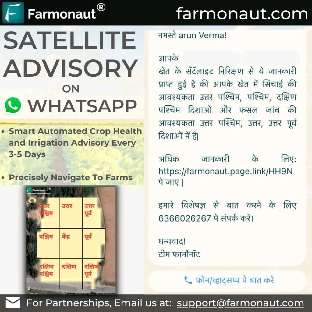
A: Our satellite imagery is updated every 3-5 days, depending on the specific location and weather conditions.
Q: Can Farmonaut’s technology be used for crops other than cotton?
A: Yes, our platform is designed to work with a wide range of crops, including cereals, fruits, vegetables, and other cash crops.
Q: How accurate are Farmonaut’s yield estimates?
A: Our yield estimates typically have an accuracy of 85-90%, which continues to improve as we gather more data and refine our algorithms.
Q: Is Farmonaut’s service available outside of India?
A: Yes, our satellite-based services are available globally. However, some features may be optimized for specific regions.
Q: How does Farmonaut ensure data privacy and security?
A: We employ industry-standard encryption and security protocols to protect all user data. Our blockchain-based solutions also ensure data integrity and traceability.
Q: Can small-scale farmers benefit from Farmonaut’s technology?
A: Absolutely! We offer affordable plans tailored for small-scale farmers, allowing them to access precision agriculture tools that were previously only available to large operations.
Q: How does Farmonaut’s technology contribute to sustainable farming?
A: By optimizing resource use, reducing chemical inputs, and promoting efficient farming practices, our technology helps farmers reduce their environmental impact while improving productivity.
Q: Can Farmonaut’s data be integrated with other farm management software?
A: Yes, we offer API services that allow seamless integration with various farm management systems and agricultural software platforms.
Q: Does Farmonaut provide training or support for using its platform?
A: We offer comprehensive onboarding, training materials, and customer support to ensure users can make the most of our platform.
Q: How does Farmonaut’s technology compare to traditional field scouting methods?
A: While field scouting remains valuable, our satellite-based monitoring provides a more comprehensive, frequent, and cost-effective solution for large-scale crop monitoring.
Conclusion
Our recent achievement of mapping over 150 cotton farms in Maharashtra within just three days demonstrates the power and efficiency of satellite-based agricultural monitoring. At Farmonaut, we’re committed to leveraging cutting-edge technology to empower farmers, improve crop yields, and promote sustainable agriculture.
By continually enhancing our crop health monitoring and yield estimation capabilities, we’re not just providing a service – we’re partnering with farmers to shape the future of agriculture. As we expand our coverage and refine our algorithms, we look forward to making an even greater impact on cotton farming in Maharashtra and beyond.
Join us on this exciting journey towards smarter, more sustainable farming. Together, we can cultivate a brighter future for agriculture.
Happy Farming!


