Revolutionizing Agriculture: The Power of Natural Farming and Remote Sensing
We are thrilled to share an inspiring story that highlights the incredible potential of combining natural farming practices with cutting-edge remote sensing technology. In this comprehensive blog post, we’ll explore how Viswamatha Farms has set a shining example in the field of natural farming and how remote sensing, particularly through platforms like Farmonaut, is transforming the agricultural landscape.
Viswamatha Farms: A Beacon of Natural Farming Excellence
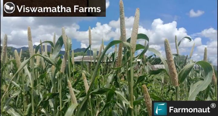
We recently came across a remarkable feature showcasing the outstanding work of Viswamatha Farms in the realm of natural farming. This innovative farm has garnered well-deserved recognition for its commitment to sustainable agricultural practices.
- Cultivates a diverse range of crops: pulses, spices, groundnut, vegetables, and fruits
- Recipient of the prestigious SAKSHI EXCELLENCE AWARD in FARMING (2017)
- Demonstrates the viability and success of natural farming methods
The recognition of Viswamatha Farms serves as an inspiration to farmers worldwide, proving that natural farming can be both environmentally friendly and economically viable.
The Synergy of Natural Farming and Remote Sensing
While natural farming focuses on working in harmony with nature, remote sensing technology provides valuable insights that can enhance these practices. We at Farmonaut believe that the combination of these two approaches can revolutionize the agricultural sector.
Benefits of Integrating Remote Sensing with Natural Farming
- Reduce Chemical/Fertilizer Consumption: By utilizing satellite data, farmers can pinpoint specific areas where crop health is suboptimal, allowing for targeted application of organic fertilizers and reducing overall chemical usage.
- Optimize Labor Costs: Remote sensing helps identify critical areas in the field, enabling farmers to direct labor resources more efficiently.
- Minimize Water Wastage: Satellite imagery can detect areas of plant water stress, allowing for precise irrigation and reducing water waste.
- Increase Overall Yield: The combination of natural farming practices and data-driven decision-making leads to improved crop health and increased yields.
- Maintain Soil Health: Our Soil Organic Carbon (SOC) model helps identify areas with low organic carbon, guiding farmers in maintaining optimal soil nutrient composition.
Farmonaut: Empowering Natural Farmers with Satellite Technology
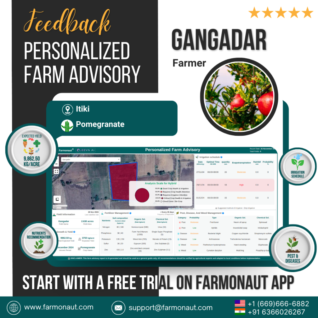
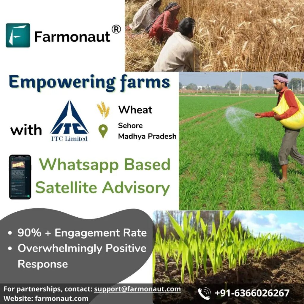
At Farmonaut, we’re committed to making precision agriculture accessible and affordable for farmers worldwide. Our platform integrates satellite imagery, artificial intelligence, and machine learning to provide valuable insights for natural farmers.
Key Features of Farmonaut’s Platform
- Real-time crop health monitoring using multispectral satellite images
- AI-powered advisory system (Jeevn AI) for personalized farm management
- Blockchain-based product traceability for supply chain transparency
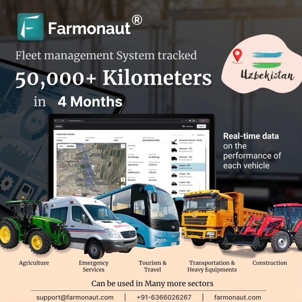
- Fleet and resource management tools for efficient operations
- Carbon footprint tracking to support sustainable farming practices
To experience the power of satellite-based farm management, visit our web platform or download our app for Android or iOS.
The Importance of Soil Organic Carbon in Natural Farming
Soil organic carbon (SOC) is a crucial component of healthy soil and plays a vital role in natural farming practices. SOC refers to the carbon stored in soil organic matter, which is essential for maintaining soil structure, water retention, and nutrient availability.
Benefits of High Soil Organic Carbon Levels
- Improved soil structure and water-holding capacity
- Enhanced nutrient cycling and availability for plants
- Increased soil biodiversity and microbial activity
- Greater resilience to climate change and extreme weather events
- Reduced soil erosion and improved overall soil health
Our SOC model at Farmonaut helps natural farmers identify areas where soil organic carbon levels may be low, allowing them to take targeted action to improve soil health and productivity.
Reducing Chemical Consumption in Agriculture
One of the primary goals of natural farming is to reduce chemical consumption in agriculture. This approach not only benefits the environment but also helps maintain long-term soil health and produces safer, more nutritious food.
Strategies for Reducing Chemical Use in Farming
- Crop Rotation: Alternating crops helps break pest and disease cycles, reducing the need for chemical interventions.
- Companion Planting: Growing complementary plants together can naturally deter pests and improve soil fertility.
- Biological Pest Control: Utilizing natural predators and beneficial insects to manage pest populations.
- Cover Crops: Planting cover crops helps suppress weeds, improve soil structure, and add organic matter to the soil.
- Precision Application: Using remote sensing data to apply organic inputs only where needed, minimizing waste and environmental impact.
By leveraging Farmonaut’s satellite-based insights, natural farmers can implement these strategies more effectively, further reducing their reliance on chemical inputs.
Increasing Overall Yield through Natural Farming and Remote Sensing
Contrary to common misconceptions, natural farming practices, when combined with advanced technologies like remote sensing, can significantly increase overall yield. This synergy allows farmers to optimize their resources while working in harmony with nature.
How Remote Sensing Contributes to Yield Improvement
- Early Detection of Crop Stress: Satellite imagery can identify signs of crop stress before they’re visible to the naked eye, allowing for timely interventions.
- Optimized Resource Allocation: By providing detailed field maps, remote sensing helps farmers allocate resources more efficiently, leading to improved crop performance.
- Precision Harvesting: Satellite data can guide farmers on the optimal timing for harvest, ensuring maximum yield and quality.
- Crop Rotation Planning: Historical satellite data helps in planning effective crop rotations, which can boost overall farm productivity.
- Monitoring of Experimental Plots: Remote sensing allows farmers to accurately assess the performance of different natural farming techniques, facilitating continuous improvement.
At Farmonaut, we’re committed to helping natural farmers leverage these technologies to maximize their yields while maintaining sustainable practices.
Geo-tagging in Agriculture: Enhancing Traceability and Management
Geo-tagging in agriculture is an innovative application of geospatial technology that is revolutionizing farm management and product traceability. This technology allows farmers to attach precise location information to various agricultural activities and assets.
Applications of Geo-tagging in Natural Farming
- Crop Mapping: Accurately map different crop varieties and their locations within a farm.
- Soil Sampling: Tag exact locations of soil samples for more precise soil health management.
- Pest and Disease Monitoring: Record and track the spread of pests or diseases across the farm.
- Equipment Tracking: Monitor the movement and usage of farm equipment for optimal utilization.
- Product Traceability: Enable farm-to-fork traceability by tagging produce with its exact origin location.
Farmonaut’s platform incorporates geo-tagging capabilities, allowing natural farmers to leverage this technology for improved farm management and transparency.
Farmonaut Satellite System vs. Drone and IoT-based Farm Monitoring
| Feature | Farmonaut Satellite System | Drone-based Monitoring | IoT-based Monitoring |
|---|---|---|---|
| Coverage Area | Large scale (hundreds to thousands of acres) | Limited (tens to hundreds of acres) | Limited to sensor placement |
| Frequency of Data Collection | Regular (every few days) | On-demand (requires manual flights) | Continuous |
| Initial Investment | Low (subscription-based) | High (equipment purchase) | Moderate to High (sensor network setup) |
| Ease of Use | High (web and mobile app access) | Moderate (requires trained operators) | Moderate (requires technical setup) |
| Data Processing | Automated (AI-powered) | Semi-automated (requires some manual processing) | Automated (real-time data) |
| Scalability | Highly scalable | Limited by equipment and operators | Scalable but requires additional hardware |
Integrating Farmonaut into Your Natural Farming Practice
Adopting Farmonaut’s satellite-based farm management system can significantly enhance your natural farming practices. Here’s how you can get started:
- Sign Up: Create an account on our web platform or mobile app.
- Map Your Fields: Use our intuitive interface to outline your farm boundaries.
- Access Satellite Data: Start receiving regular updates on crop health, soil moisture, and more.
- Implement Insights: Use the data to make informed decisions about your natural farming practices.
- Track Progress: Monitor improvements in crop health and yield over time.
For developers and businesses looking to integrate our satellite data into their own systems, we offer a robust API. Check out our API documentation for more information.
Frequently Asked Questions
Q: How does Farmonaut support natural farming practices?
A: Farmonaut provides satellite-based insights that help natural farmers make informed decisions about resource allocation, crop health management, and soil improvement, all while minimizing chemical inputs and promoting sustainable practices.
Q: Can small-scale farmers benefit from Farmonaut’s technology?
A: Absolutely! Our platform is designed to be accessible and affordable for farmers of all scales, from small family farms to large agricultural operations.
Q: How often is satellite data updated on the Farmonaut platform?
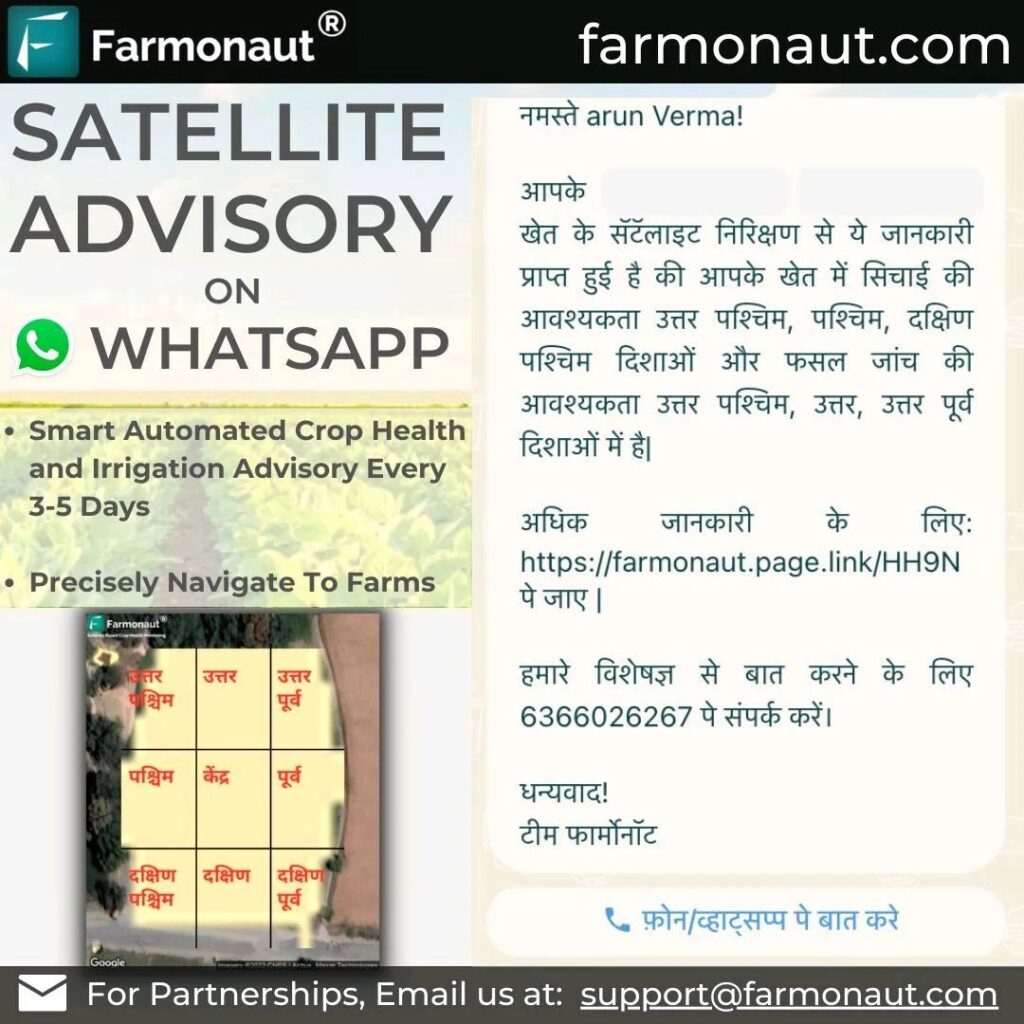
A: Satellite data is typically updated every 3-5 days, depending on weather conditions and satellite availability.
Q: Does Farmonaut offer support for organic certification processes?
A: While we don’t directly handle organic certification, our detailed farm monitoring and record-keeping features can assist farmers in documenting their natural farming practices for certification purposes.
Q: How accurate is the Soil Organic Carbon (SOC) model?
A: Our SOC model provides a good estimation of soil organic carbon levels, but for the most accurate results, we recommend combining our satellite data with periodic on-ground soil testing.
Conclusion: Embracing the Future of Natural Farming
The success of Viswamatha Farms and the potential of combining natural farming with remote sensing technology represent an exciting future for agriculture. By embracing these innovative approaches, farmers can not only increase their yields and reduce chemical usage but also contribute to a more sustainable and resilient food system.
At Farmonaut, we’re committed to supporting this agricultural revolution by providing accessible, affordable, and powerful tools for natural farmers worldwide. Together, we can create a future where agriculture works in harmony with nature, supported by the latest technological advancements.
For any questions or support, don’t hesitate to reach out to us at support@farmonaut.com or call us at +91-6366026267. Let’s cultivate a greener, more productive future together


