Revolutionizing Agriculture: How Farmonaut is Bridging the Technological Gap for Farmers
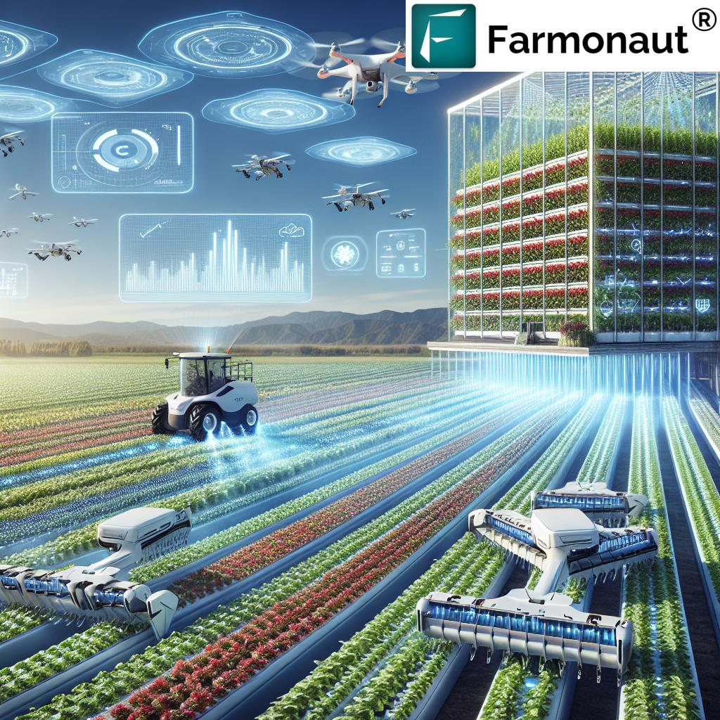
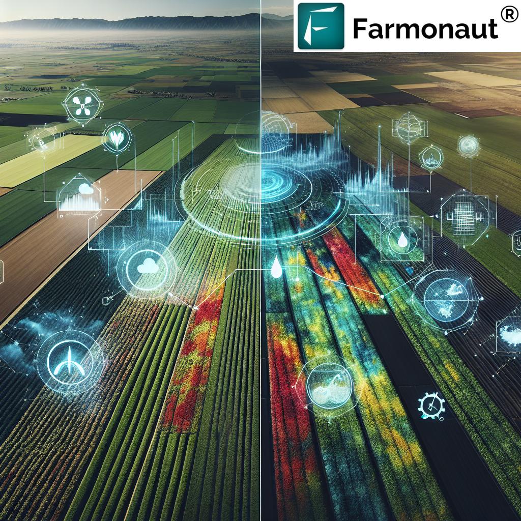
At Farmonaut, we are committed to transforming the agricultural landscape by harnessing the power of cutting-edge technology. Our mission is clear: to bridge the technological gap between farmers and bring state-of-the-art solutions to every agricultural professional, regardless of the size of their operation. In this comprehensive guide, we’ll explore how Farmonaut is revolutionizing farming practices and empowering farmers with innovative tools for sustainable and efficient agriculture.
Table of Contents
- Introduction to Farmonaut
- Key Features of Farmonaut
- The Power of Satellite-Based Crop Monitoring
- Automated Crop Monitoring: A Game-Changer for Farmers
- Understanding Crop Health Status
- Vegetation Water Level: Optimizing Irrigation
- Government-Approved Farming Database
- Crop Registration System
- Satellite Imagery Access for Research
- Farmonaut vs. Traditional Monitoring Methods
- The Future of Farming with Farmonaut
- FAQs
- Conclusion
1. Introduction to Farmonaut
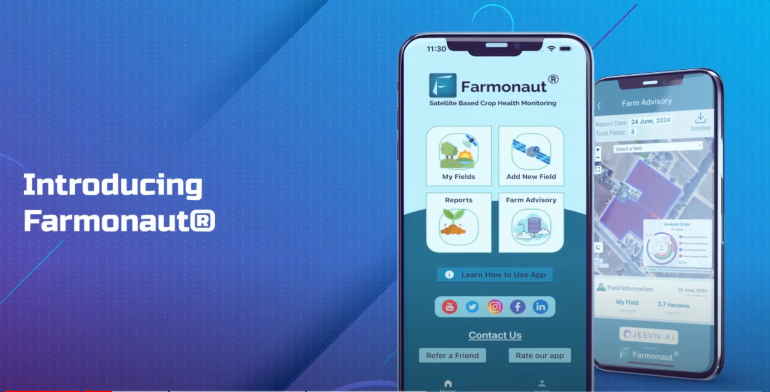
Farmonaut is a pioneering agricultural technology company that has set out to revolutionize the way farmers approach their craft. We understand that in today’s rapidly evolving world, the agricultural sector needs to keep pace with technological advancements to ensure food security, sustainability, and profitability. That’s why we’ve developed a comprehensive platform that brings the power of satellite technology, artificial intelligence, and data analytics directly to the fingertips of farmers.
Our vision is simple yet ambitious: to empower every farmer with tools that were once only available to large agricultural corporations. By democratizing access to advanced farming technologies, we’re not just improving individual farms; we’re contributing to the global effort to enhance food production and promote sustainable agricultural practices.
2. Key Features of Farmonaut
Farmonaut offers a suite of features designed to address the diverse needs of modern farmers. Let’s dive into the core functionalities that make our platform stand out:
- Satellite-Based Crop Monitoring: Real-time insights into crop health and field conditions
- Automated Crop Monitoring: Continuous tracking of crop progress without manual intervention
- Crop Health Status: Detailed analysis of crop vitality and potential issues
- Vegetation Water Level: Precise measurements of plant water content for optimal irrigation
- Farmers’ Discussion Forum: A social network for agricultural knowledge sharing
- Voice-Text Based Plant Issue Identification: Multi-language support for quick problem diagnosis
- Government-Approved Farming Database: Comprehensive information on crops and diseases
- Crop Registration System: Streamlined crop management and record-keeping
- Satellite Imagery Access for Research: Advanced data for agricultural studies and analysis
Each of these features is designed with the farmer in mind, ensuring that our platform is not only powerful but also user-friendly and accessible.
3. The Power of Satellite-Based Crop Monitoring
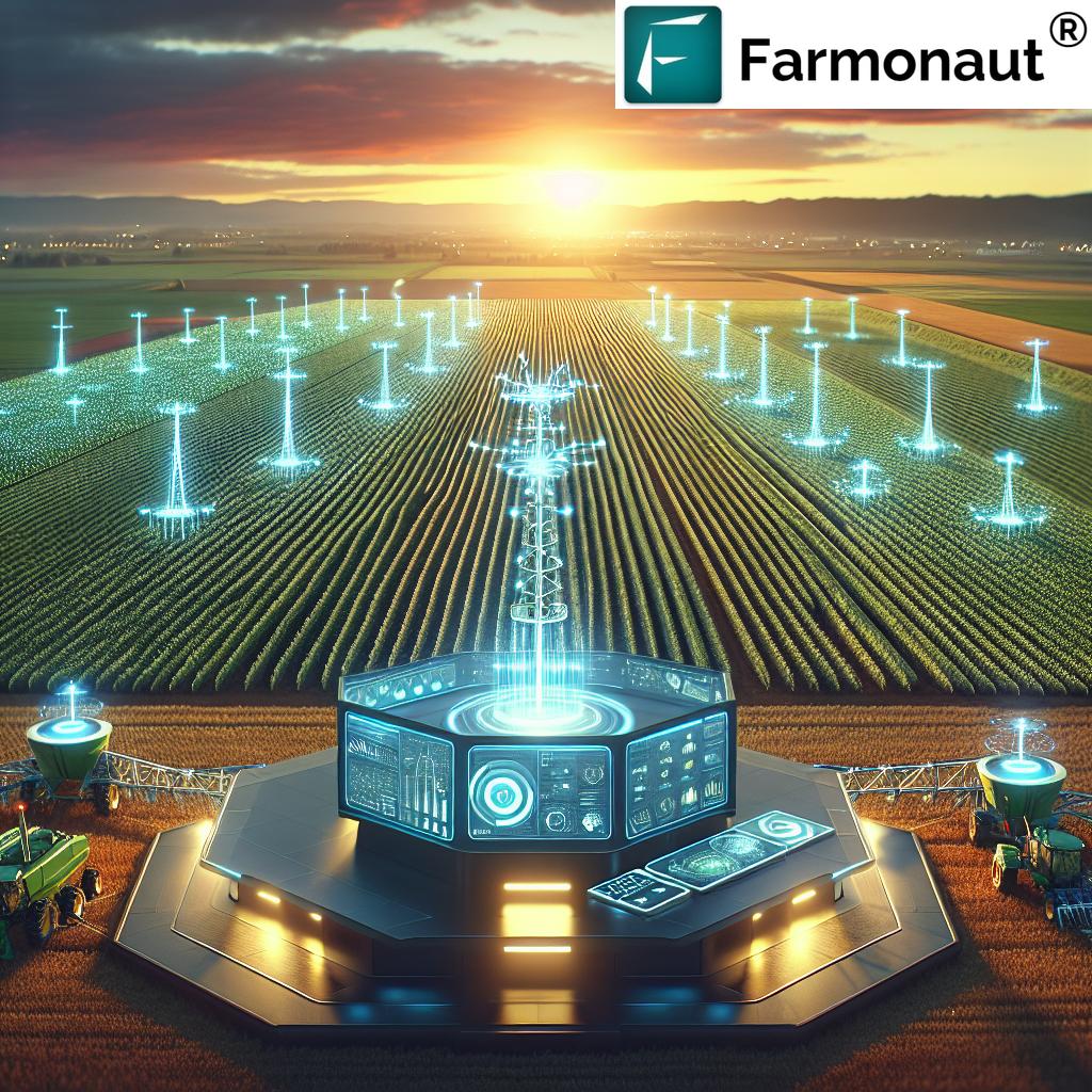
At the heart of Farmonaut’s technology is our advanced satellite-based crop monitoring system. This innovative approach to farm management allows us to provide farmers with unprecedented insights into their fields without the need for expensive on-ground sensors or time-consuming manual inspections.
How It Works
Our satellite-based monitoring system utilizes high-resolution imagery from multiple satellite constellations. These satellites capture multispectral images of agricultural lands at regular intervals. The data collected includes:
- Visible light reflectance
- Near-infrared reflectance
- Short-wave infrared reflectance
This multi-layered data is then processed through our proprietary algorithms, which analyze various aspects of crop health and field conditions. The result is a comprehensive view of your farm that would be impossible to achieve through traditional methods alone.
Benefits of Satellite-Based Monitoring
- Wide Coverage: Monitor large areas of land efficiently and cost-effectively
- Frequent Updates: Receive new data regularly, allowing for timely decision-making
- Non-Invasive: Gather information without disturbing crops or soil
- Historical Data: Access past imagery to track changes over time
- Weather-Independent: Obtain data regardless of ground-level weather conditions
By leveraging satellite technology, we’re able to provide farmers with a level of insight that was once reserved for large agricultural corporations with substantial resources. Now, farms of all sizes can benefit from this advanced technology, leveling the playing field and promoting more efficient and sustainable farming practices across the board.
4. Automated Crop Monitoring: A Game-Changer for Farmers
One of the most revolutionary features of Farmonaut is our automated crop monitoring system. This cutting-edge technology takes the guesswork out of farm management by providing continuous, real-time updates on crop conditions without requiring constant manual input or field visits.
How Automated Crop Monitoring Works
- Initial Setup: Farmers register their fields on the Farmonaut platform, providing basic information about crop types and planting dates.
- Satellite Data Collection: Our system automatically collects satellite imagery of the registered fields at regular intervals.
- Data Analysis: Advanced algorithms process the satellite data, extracting valuable information about crop health, growth stages, and potential issues.
- Alert Generation: The system generates alerts and notifications when it detects anomalies or significant changes in crop conditions.
- Reporting: Regular reports are compiled and made available to farmers through our user-friendly interface.
Benefits of Automated Monitoring
- Time-Saving: Reduces the need for frequent manual field inspections
- Early Problem Detection: Identifies issues before they become visible to the naked eye
- Data-Driven Decisions: Provides objective data to support farming decisions
- Scalability: Easily monitor multiple fields or large areas of land
- Historical Tracking: Automatically maintains a record of crop development over time
By automating the monitoring process, we’re enabling farmers to focus on strategic decision-making and implementation rather than spending countless hours on manual observation and data collection. This shift not only improves efficiency but also allows for more precise and timely interventions when issues arise.
5. Understanding Crop Health Status
A critical component of successful farming is maintaining optimal crop health. Farmonaut’s crop health status feature provides farmers with detailed insights into the vitality of their crops, enabling them to take proactive measures to ensure robust growth and maximize yields.
Key Indicators of Crop Health
Our system analyzes several key indicators to assess crop health:
- Normalized Difference Vegetation Index (NDVI): Measures the density and vigor of plant growth
- Leaf Area Index (LAI): Estimates the total leaf area relative to ground area
- Chlorophyll Content: Indicates the overall photosynthetic capacity of the plants
- Biomass Estimation: Provides an estimate of the total plant material in a given area
Interpreting Crop Health Data
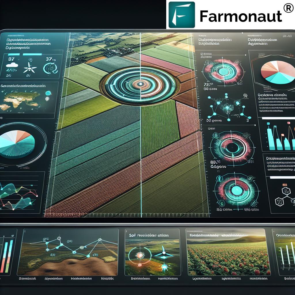
Farmonaut translates complex satellite data into easily understandable metrics and visualizations. Farmers can access:
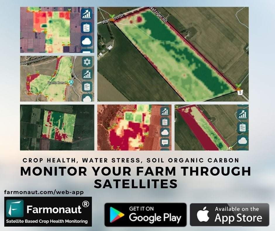
- Color-coded maps: Showing variations in crop health across fields
- Trend analysis: Tracking changes in crop health over time
- Comparative analytics: Benchmarking crop performance against historical data or regional averages
- Health alerts: Notifications for sudden changes or concerning patterns in crop health
By providing this level of detail, we empower farmers to make informed decisions about crop management, such as adjusting fertilizer applications, modifying irrigation schedules, or implementing targeted pest control measures.
6. Vegetation Water Level: Optimizing Irrigation
Water management is a critical aspect of modern agriculture, and Farmonaut’s vegetation water level feature is designed to help farmers optimize their irrigation practices. By providing accurate data on plant water content, we enable farmers to make precise decisions about when and how much to irrigate.
How We Measure Vegetation Water Level
Our system uses a combination of satellite data and advanced algorithms to estimate the water content in vegetation:
- Spectral Analysis: Utilizing specific bands of the electromagnetic spectrum that are sensitive to water content
- Vegetation Indices: Employing specialized indices like the Normalized Difference Water Index (NDWI)
- Machine Learning Models: Incorporating historical data and ground-truth measurements to improve accuracy
Benefits of Precise Water Level Monitoring
- Water Conservation: Avoid over-irrigation by applying water only when necessary
- Stress Prevention: Identify and address water stress before it impacts crop yield
- Cost Reduction: Optimize water usage to reduce irrigation costs
- Yield Improvement: Maintain optimal water levels for maximum crop productivity
- Environmental Stewardship: Promote sustainable water use in agriculture
By providing accurate vegetation water level data, Farmonaut helps farmers strike the perfect balance between water conservation and crop health, leading to more sustainable and productive farming practices.
7. Government-Approved Farming Database
To ensure that our users have access to the most reliable and up-to-date agricultural information, Farmonaut maintains a comprehensive, government-approved farming database. This extensive resource covers a wide range of crops and diseases, providing farmers with authoritative information to guide their decision-making.
Database Contents
- Crop Profiles: Detailed information on over 100 crops, including growth requirements, optimal conditions, and best practices
- Disease Encyclopedia: Comprehensive data on more than 300 plant diseases, including symptoms, causes, and treatment options
- Pest Library: Information on common agricultural pests, their life cycles, and control methods
- Fertilizer Guide: Recommendations for fertilizer use based on crop type and soil conditions
- Seasonal Advisories: Region-specific guidance for crop management throughout the growing season
Benefits of a Curated Database
- Reliability: Information vetted and approved by government agricultural agencies
- Comprehensiveness: A single source for a wide range of agricultural information
- Accessibility: Easy-to-understand format suitable for farmers of all education levels
- Relevance: Regularly updated to reflect the latest research and best practices
- Integration: Seamlessly connected with other Farmonaut features for holistic farm management
By providing access to this extensive, government-approved database, we ensure that Farmonaut users have the knowledge they need to make informed decisions and implement best practices in their farming operations.
8. Crop Registration System
Efficient farm management begins with proper record-keeping, which is why Farmonaut offers a robust crop registration system. This feature allows farmers to easily log and track their crops, providing a foundation for data-driven decision-making and compliance with agricultural regulations.
Key Functions of the Crop Registration System
- Field Mapping: Digitally map and define field boundaries
- Crop Input: Record crop types, varieties, and planting dates for each field
- Activity Logging: Track farming activities such as irrigation, fertilization, and pest control
- Yield Forecasting: Estimate potential yields based on registered crop data and historical performance
- Compliance Reporting: Generate reports for regulatory compliance and subsidy applications
Benefits of Systematic Crop Registration
- Organized Record-Keeping: Maintain a clear, accessible history of farm activities
- Enhanced Planning: Use past data to inform future crop rotation and management decisions
- Simplified Reporting: Easily generate reports for banks, insurance companies, or government agencies
- Integration with Monitoring: Combine registration data with satellite monitoring for more accurate insights
- Traceability: Support product traceability initiatives for value-added marketing
Our crop registration system transforms what was once a tedious, paper-based process into a streamlined, digital solution that saves time and improves farm management efficiency.
9. Satellite Imagery Access for Research
Farmonaut is committed to advancing agricultural science and innovation. That’s why we offer satellite imagery access for research purposes. This feature provides researchers, academics, and agricultural scientists with valuable data to conduct studies, develop new farming techniques, and push the boundaries of agricultural knowledge.
Types of Satellite Imagery Available
- Multispectral Imagery: Includes visible and near-infrared bands for vegetation analysis
- Synthetic Aperture Radar (SAR) Data: All-weather imagery for soil moisture and crop structure analysis
- Thermal Imagery: Temperature data for studying plant stress and water use
- High-Resolution Optical Imagery: Detailed visual data for precise crop mapping and phenology studies
Applications in Agricultural Research
- Crop Yield Prediction: Develop and validate models for estimating crop yields at various scales
- Climate Change Impact Studies: Analyze long-term changes in vegetation patterns and crop distributions
- Precision Agriculture Development: Research new methods for site-specific crop management
- Pest and Disease Monitoring: Study the spread and impact of agricultural pests and diseases
- Land Use Classification: Improve techniques for identifying and mapping different types of agricultural land use
By providing access to this valuable satellite imagery, Farmonaut supports the scientific community in its efforts to improve agricultural practices and address global challenges in food security and sustainability.
10. Farmonaut vs. Traditional Monitoring Methods
To illustrate the advantages of Farmonaut’s satellite-based system over traditional monitoring methods, let’s compare it with drone and IoT-based farm monitoring:
| Feature | Farmonaut Satellite System | Drone-Based Monitoring | IoT-Based Monitoring |
|---|---|---|---|
| Coverage Area | Unlimited (global coverage) | Limited by flight time and regulations | Limited by sensor placement |
| Frequency of Data Collection | Regular (3-5 days typically) | As needed, but labor-intensive | Continuous, real-time |
| Initial Setup Cost | Low (subscription-based) | High (equipment purchase) | Moderate to High (sensors and network) |
| Maintenance Required | Minimal (software updates) | Regular (hardware maintenance) | Moderate (sensor replacement, calibration) |
| Weather Dependency | Low (some satellites can penetrate clouds) | High (cannot fly in poor weather) | Low (operates in most conditions) |
| Scalability | Highly scalable (no additional equipment needed) | Limited (requires more drones for larger areas) | Moderate (requires more sensors for larger areas) |
| Data Processing | Automated (AI-driven analysis) | Semi-automated (requires image processing) | Automated (real-time data analysis) |
| Regulatory Compliance | No issues (uses existing satellites) | Complex (aviation regulations apply) | Minimal (some radio frequency regulations) |
As the comparison shows, Farmonaut’s satellite-based system offers unique advantages in terms of coverage, cost-effectiveness, and ease of use, making it an ideal solution for farms of all sizes.
11. The Future of Farming with Farmonaut
At Farmonaut, we’re not just focused on the present; we’re actively shaping the future of agriculture. Our commitment to innovation means that we’re constantly exploring new ways to enhance our platform and provide even more value to farmers. Here’s a glimpse into what the future holds:
Upcoming Features and Enhancements
- AI-Powered Predictive Analytics: Advanced forecasting of crop yields, disease outbreaks, and market trends
- Integration with IoT Devices: Combining satellite data with ground-level sensors for even more precise insights
- Blockchain-Based Traceability: Enhancing supply chain transparency from farm to table
- Virtual Reality Farm Tours: Allowing remote field inspections and collaborative problem-solving
- Automated Drone Integration: Complementing satellite data with on-demand, high-resolution drone imagery
Our Vision for Sustainable Agriculture
We believe that technology has the power to make agriculture more sustainable, efficient, and resilient. Our long-term goals include:
- Reducing Resource Waste: Optimizing water and fertilizer use through precise, data-driven recommendations
- Improving Food Security: Increasing crop yields and reducing losses through early problem detection
- Promoting Biodiversity: Providing tools for more effective crop rotation and integrated pest management
- Empowering Small Farmers: Making advanced agricultural technology accessible to farmers of all scales
- Supporting Climate-Smart Agriculture: Helping farmers adapt to and mitigate the effects of climate change
As we continue to evolve and improve our platform, we remain committed to our core mission: bridging the technological gap in agriculture and empowering farmers to meet the challenges of the 21st century.
12. FAQs
Q: How accurate is Farmonaut’s satellite-based crop monitoring?
A: Our satellite-based monitoring is highly accurate, with resolution down to 10 meters for most applications. We use a combination of optical and radar satellites to ensure reliability even in cloudy conditions.
Q: Can Farmonaut be used for all types of crops?
A: Yes, Farmonaut is designed to work with a wide variety of crops, from grains and vegetables to fruit orchards and plantation crops. Our database includes information on over 100 different crop types.
Q: How often is the satellite imagery updated?
A: The frequency of updates depends on the subscription plan, but typically ranges from daily to weekly updates. For most agricultural applications, we provide new imagery every 3-5 days.
Q: Is internet connectivity required to use Farmonaut?
A: While an internet connection is needed to receive the latest satellite data and updates, many features of the Farmonaut app can be used offline once the data is downloaded.
Q: How does Farmonaut protect user data and privacy?
A: We take data security very seriously. All user data is encrypted and stored securely. We never share individual farm data without explicit permission from the user.
Q: Can Farmonaut integrate with other farm management software?
A: Yes, we offer API access that allows integration with many popular farm management systems. For more information, please visit our API documentation.
13. Conclusion
Farmonaut represents a significant leap forward in agricultural technology, bringing the power of satellite imaging, AI, and data analytics to farmers around the world. By providing easy access to advanced crop monitoring tools, comprehensive databases, and a supportive community platform, we’re empowering farmers to make more informed decisions, increase yields, and practice sustainable agriculture.
As we continue to innovate and expand our services, we remain committed to our core mission of bridging the technological gap in agriculture. We believe that by putting powerful tools in the hands of farmers, we can contribute to a more sustainable, productive, and food-secure world.
We invite you to join us on this journey. Whether you’re a small-scale farmer looking to optimize your operations, a researcher seeking valuable agricultural data, or an agribusiness aiming to enhance productivity, Farmonaut has the tools and insights you need to succeed.
Ready to revolutionize your farming practices? Download the Farmonaut app today and start exploring the future of agriculture. Available on both Google Play and the App Store.
For those interested in leveraging our satellite and weather data for custom applications, check out our API services.


