Unveiling the Power of Infrared Imagery: A Comprehensive Guide to Near-Infrared and Satellite Technology in Agriculture
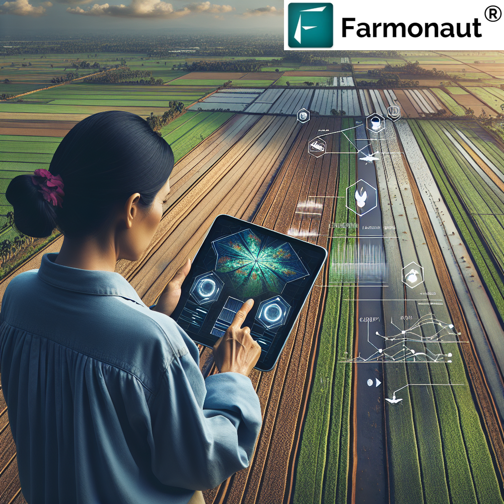
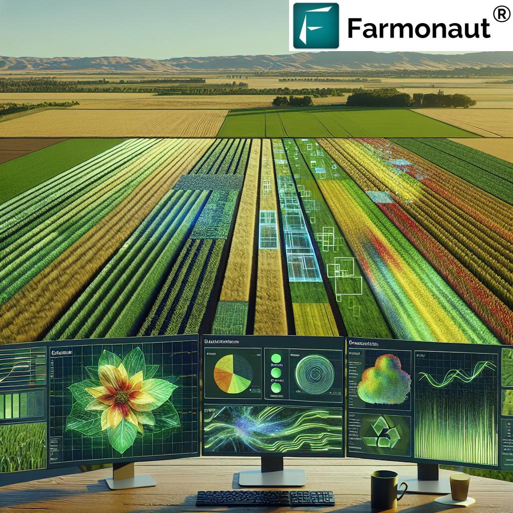
In the ever-evolving world of agriculture, technology continues to play a pivotal role in revolutionizing farming practices. At Farmonaut, we’re at the forefront of this agricultural revolution, harnessing the power of satellite technology, artificial intelligence, and data-driven insights to empower farmers worldwide. Today, we’re diving deep into one of the most fascinating and valuable tools in our arsenal: infrared imagery.
What is Infrared Imagery?
Before we delve into the specifics of how infrared imagery is transforming agriculture, let’s start with the basics. What is infrared imagery? Essentially, infrared imagery is a technique that captures and visualizes light in the infrared spectrum, which is beyond what the human eye can see.
Infrared light has longer wavelengths than visible light, ranging from about 700 nanometers to 1 millimeter. This unique characteristic allows infrared imagery to reveal information about objects and environments that isn’t visible to the naked eye or in traditional photographs.
Types of Infrared Imagery
There are several types of infrared imagery, each with its own applications and benefits:
- Near-Infrared (NIR) Imagery: This is the type closest to visible light and is particularly useful in agriculture.
- Short-Wave Infrared (SWIR): Used in geology and for detecting moisture content.
- Mid-Wave Infrared (MWIR): Often used in thermal imaging for industrial and military applications.
- Long-Wave Infrared (LWIR): Commonly used in thermal imaging cameras for building inspections and firefighting.
In agriculture, we primarily focus on near-infrared imagery due to its ability to provide valuable insights into plant health and soil conditions.
What is Near Infrared Imagery?
Near-infrared (NIR) imagery is a specific type of infrared imaging that focuses on the part of the electromagnetic spectrum just beyond visible light. NIR light has wavelengths between 750 and 1400 nanometers.
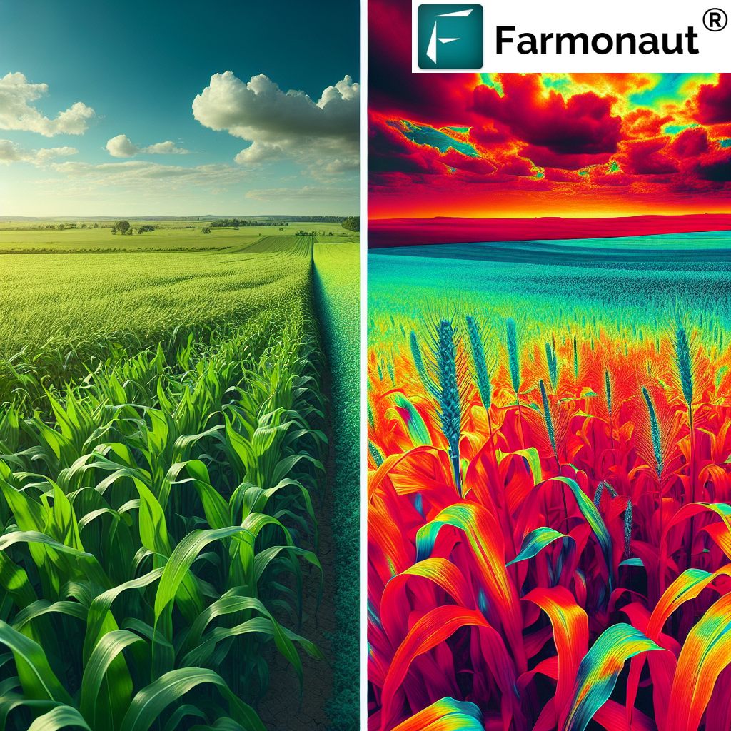
In the context of agriculture, near-infrared imagery is particularly valuable because plants reflect NIR light differently based on their health and structure. Healthy plants reflect more NIR light than unhealthy ones, allowing us to assess crop health with remarkable accuracy.
The Science Behind Near-Infrared Imagery in Agriculture
To understand why near-infrared imagery is so powerful in agriculture, we need to delve into a bit of plant biology. Here’s what makes NIR imagery such a game-changer:
- Chlorophyll Absorption: Chlorophyll, the pigment that gives plants their green color, strongly absorbs visible light for photosynthesis. However, it reflects most near-infrared light.
- Leaf Structure: The internal structure of healthy leaves scatters more NIR light than unhealthy leaves.
- Water Content: NIR light is sensitive to water content in plants, allowing us to assess hydration levels.
These factors combined mean that NIR imagery can provide a wealth of information about plant health, stress levels, and overall crop conditions.
What is Infrared Satellite Imagery?
Now that we’ve covered the basics of infrared and near-infrared imagery, let’s explore how this technology is applied on a larger scale through satellite technology.
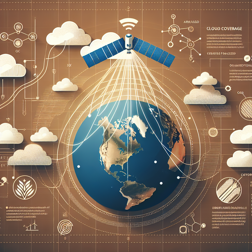
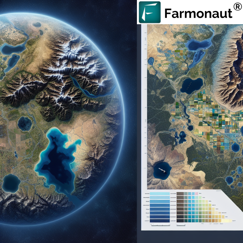
Infrared satellite imagery refers to images captured by satellites equipped with sensors capable of detecting infrared light. These satellites orbit the Earth, continuously capturing data and sending it back for analysis.
At Farmonaut, we leverage this cutting-edge technology to provide farmers with unprecedented insights into their fields. Here’s how infrared satellite imagery works in practice:
- Data Capture: Satellites equipped with multispectral sensors capture both visible and infrared light reflecting off the Earth’s surface.
- Data Transmission: This raw data is transmitted back to Earth-based receiving stations.
- Processing: The data is processed and analyzed using advanced algorithms and artificial intelligence.
- Visualization: The processed data is transformed into easy-to-understand maps and reports for farmers.
Applications of Infrared Imagery in Agriculture
The applications of infrared imagery, particularly near-infrared satellite imagery, in agriculture are vast and transformative. At Farmonaut, we’ve harnessed this technology to provide a suite of powerful tools for farmers. Here are some of the key applications:
1. Crop Health Monitoring
One of the most significant applications of NIR imagery is in monitoring crop health. By analyzing the reflectance patterns of NIR light, we can detect issues such as:
- Nutrient deficiencies
- Pest infestations
- Disease outbreaks
- Water stress
This allows farmers to identify and address problems early, often before they’re visible to the naked eye.
2. Precision Agriculture
Infrared imagery enables precision agriculture practices by providing detailed, field-level data. This allows farmers to:
- Apply fertilizers and pesticides only where needed
- Optimize irrigation based on actual plant needs
- Predict yields more accurately
The result is increased efficiency, reduced costs, and minimized environmental impact.
3. Soil Moisture Assessment
NIR imagery can provide insights into soil moisture levels across large areas. This information is crucial for:
- Optimizing irrigation schedules
- Preventing over-watering or under-watering
- Identifying areas with poor drainage
4. Crop Classification and Mapping
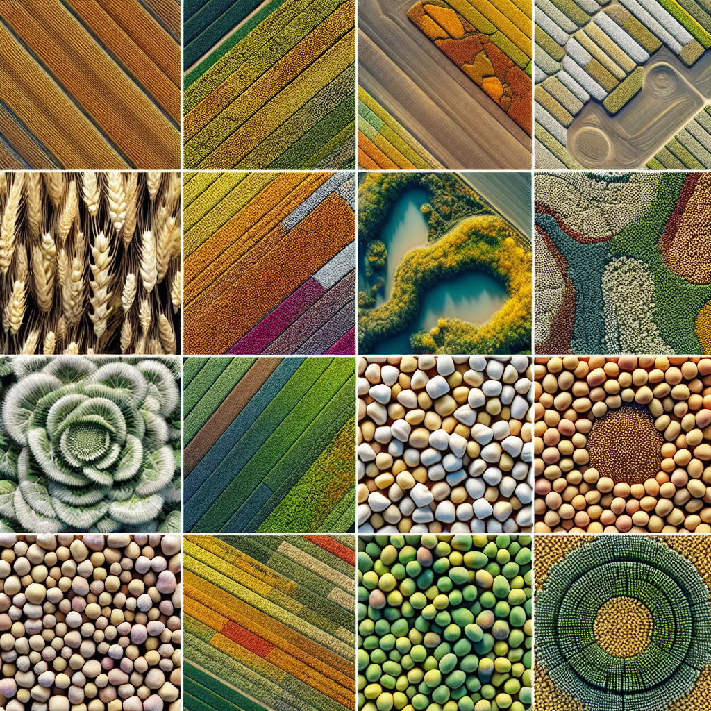
Infrared satellite imagery allows for accurate classification and mapping of different crop types over large areas. This is valuable for:
- Government agencies conducting agricultural surveys
- Researchers studying land use changes
- Farmers managing large or diverse operations
5. Yield Prediction
By analyzing infrared imagery over time, we can make accurate predictions about crop yields. This helps:
- Farmers plan harvests and manage resources
- Agricultural companies forecast supply and demand
- Policymakers make informed decisions about food security
Farmonaut’s Approach to Infrared Satellite Imagery
At Farmonaut, we’ve developed a comprehensive platform that leverages the power of infrared satellite imagery to provide farmers with actionable insights. Our approach combines cutting-edge technology with user-friendly interfaces to make precision agriculture accessible to farmers of all scales.
Key Features of Farmonaut’s Satellite-Based Farm Management System:
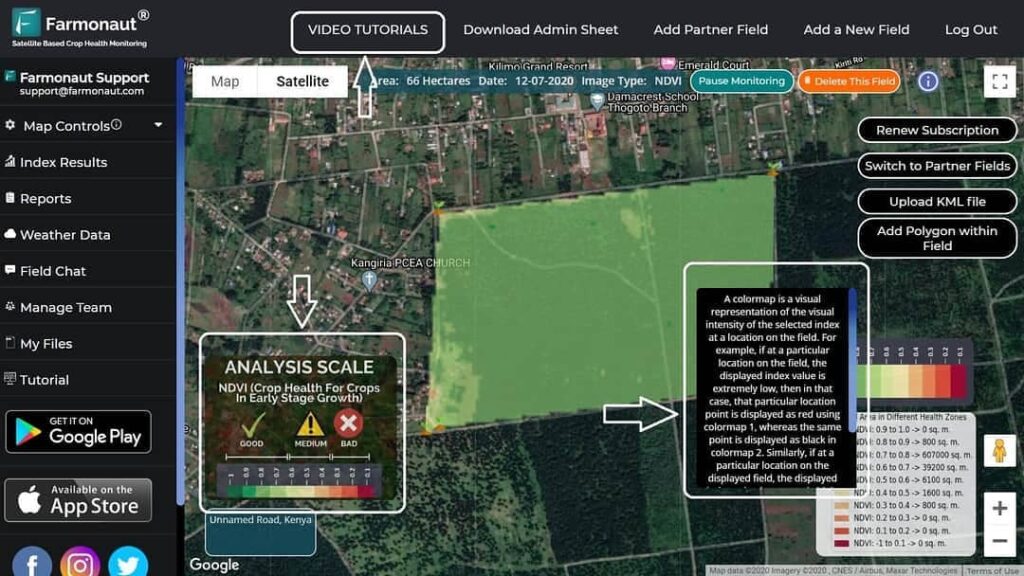
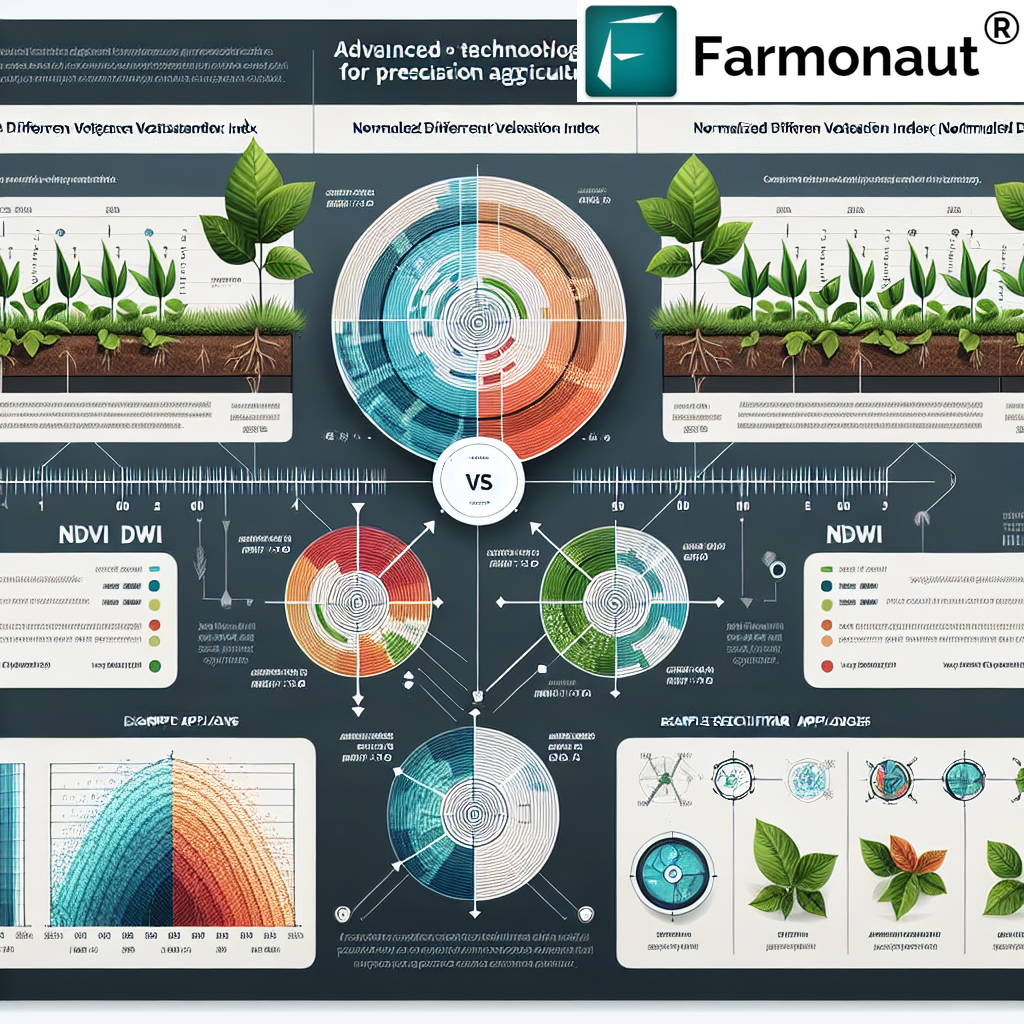
- Real-time Crop Health Monitoring: Our platform provides up-to-date information on crop health using NDVI (Normalized Difference Vegetation Index) derived from NIR imagery.
- AI-Powered Advisory System: Our Jeevn AI system analyzes satellite data to provide personalized recommendations for crop management.
- Historical Data Analysis: We offer insights based on historical satellite imagery, allowing farmers to track changes over time and make informed decisions.
- Weather Integration: Our system combines satellite imagery with weather data to provide comprehensive farm management advice.
- Mobile Accessibility: All these features are available through our user-friendly mobile app, allowing farmers to access critical information anytime, anywhere.
You can explore these features and more by downloading our app from the Google Play Store or the Apple App Store.
Farmonaut Satellite System vs. Drone and IoT-based Farm Monitoring
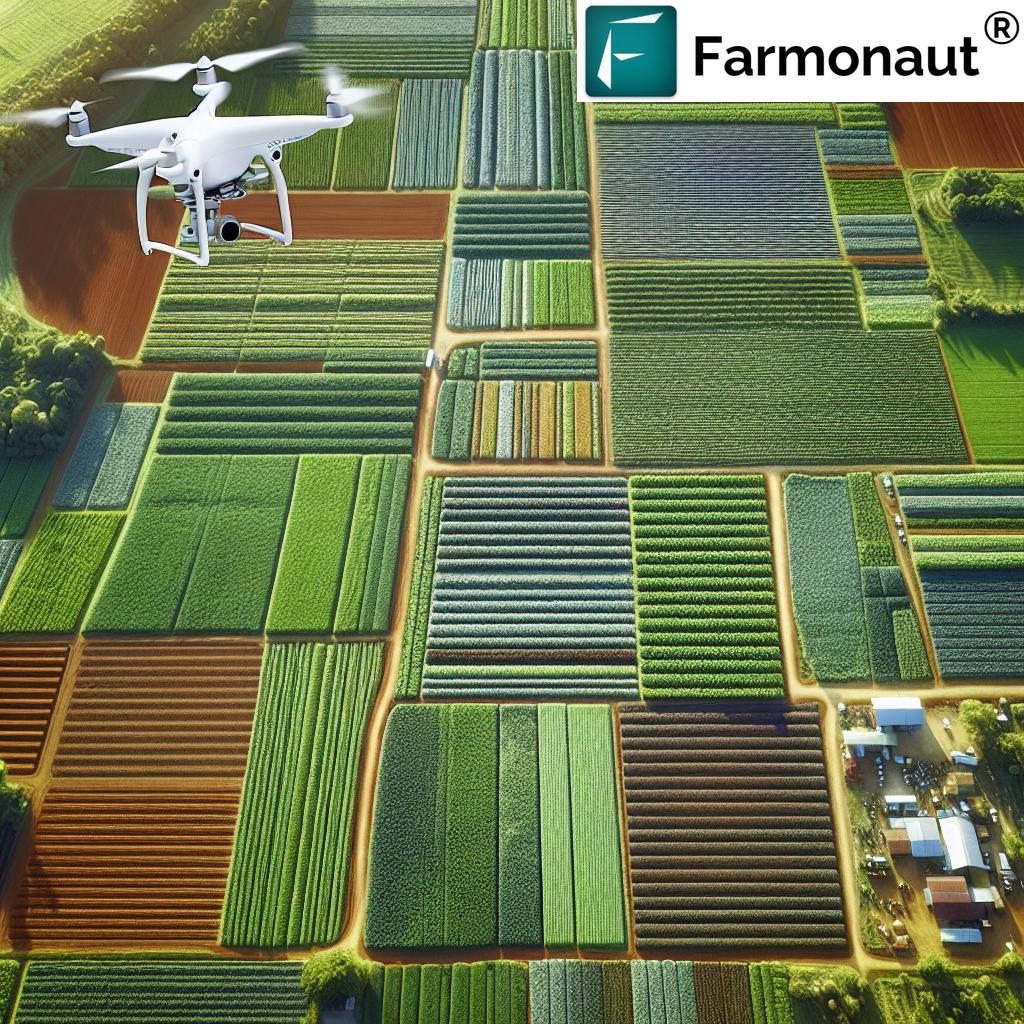
While drones and IoT devices have their place in modern agriculture, Farmonaut’s satellite-based system offers several advantages. Here’s a comparison:
| Feature | Farmonaut Satellite System | Drone-based Monitoring | IoT-based Monitoring |
|---|---|---|---|
| Coverage Area | Large (entire farms at once) | Limited (requires multiple flights) | Limited (depends on sensor placement) |
| Frequency of Updates | Regular (every few days) | As needed (requires manual operation) | Continuous (but for limited points) |
| Initial Cost | Low (subscription-based) | High (equipment purchase) | Medium to High (sensors and network setup) |
| Maintenance | None (managed by Farmonaut) | Regular (equipment maintenance) | Regular (sensor maintenance and replacement) |
| Ease of Use | High (user-friendly app interface) | Medium (requires training) | Medium (requires technical setup) |
| Data Analysis | Advanced (AI-powered insights) | Varies (depends on software) | Basic to Advanced (depends on system) |
The Future of Infrared Imagery in Agriculture
As technology continues to advance, we at Farmonaut are excited about the future possibilities of infrared imagery in agriculture. Some emerging trends and potential developments include:
- Higher Resolution Imagery: As satellite technology improves, we expect to see even more detailed infrared imagery, allowing for analysis at the individual plant level.
- Integration with AI and Machine Learning: Advanced algorithms will be able to detect and predict crop issues with even greater accuracy.
- Combination with Other Data Sources: Integrating infrared imagery with data from ground sensors, weather stations, and other sources will provide an even more comprehensive view of farm conditions.
- Automated Decision-Making Systems: In the future, farm management systems may be able to automatically adjust irrigation, fertilization, and other processes based on infrared imagery analysis.
Getting Started with Farmonaut
If you’re ready to harness the power of infrared satellite imagery for your farm, getting started with Farmonaut is easy. Here’s how:
- Visit our website at https://farmonaut.com/app_redirect
- Sign up for an account
- Download our mobile app from the Google Play Store or Apple App Store
- Enter your farm details and start exploring the power of satellite-based farm management
For developers interested in integrating our satellite and weather data into their own applications, we offer robust API solutions. Check out our API documentation for more information.
Subscription Options
We offer flexible subscription plans to suit farms of all sizes. Choose the plan that best fits your needs:
Frequently Asked Questions (FAQ)
Q: How often are satellite images updated in Farmonaut’s system?
A: Our satellite imagery is typically updated every 3-5 days, depending on weather conditions and satellite coverage.
Q: Can Farmonaut’s system work for small farms?
A: Absolutely! Our system is designed to be scalable and can provide valuable insights for farms of all sizes, from small family operations to large commercial farms.
Q: Is special equipment needed to use Farmonaut’s services?
A: No special equipment is required. All you need is a smartphone or computer with internet access to use our platform.
Q: How accurate is the crop health information provided by Farmonaut?
A: Our system provides highly accurate crop health information, with accuracy rates typically above 90%. However, it’s always recommended to verify satellite-based insights with on-ground observations.
Q: Can Farmonaut’s system detect specific crop diseases?
A: While our system can detect general signs of plant stress that may indicate disease, it cannot diagnose specific diseases. It can, however, alert farmers to potential issues early, allowing for timely in-person inspection and diagnosis.
Q: Is training required to use Farmonaut’s platform?
A: Our platform is designed to be user-friendly and intuitive. While we provide comprehensive guides and customer support, most users can start benefiting from our services with minimal training.
Conclusion
Infrared imagery, particularly near-infrared satellite imagery, has revolutionized the way we approach agriculture. At Farmonaut, we’re proud to be at the forefront of this technological revolution, making precision agriculture accessible to farmers worldwide.
By harnessing the power of infrared satellite imagery, we’re empowering farmers to make data-driven decisions, optimize resource use, and increase crop yields while minimizing environmental impact. As we look to the future, we’re excited about the continued advancements in this field and the potential for even greater insights and efficiencies in farming.
We invite you to join us on this journey towards smarter, more sustainable agriculture. Explore our platform, try our services, and experience the power of infrared imagery for yourself. Together, we can cultivate a brighter future for farming and food security worldwide.
For more information or to get started with Farmonaut, visit our website or download our app today. Let’s transform agriculture, one pixel at a time.


