Revolutionizing Agriculture: How Satellite Imagery and AI Are Transforming Precision Farming in North America
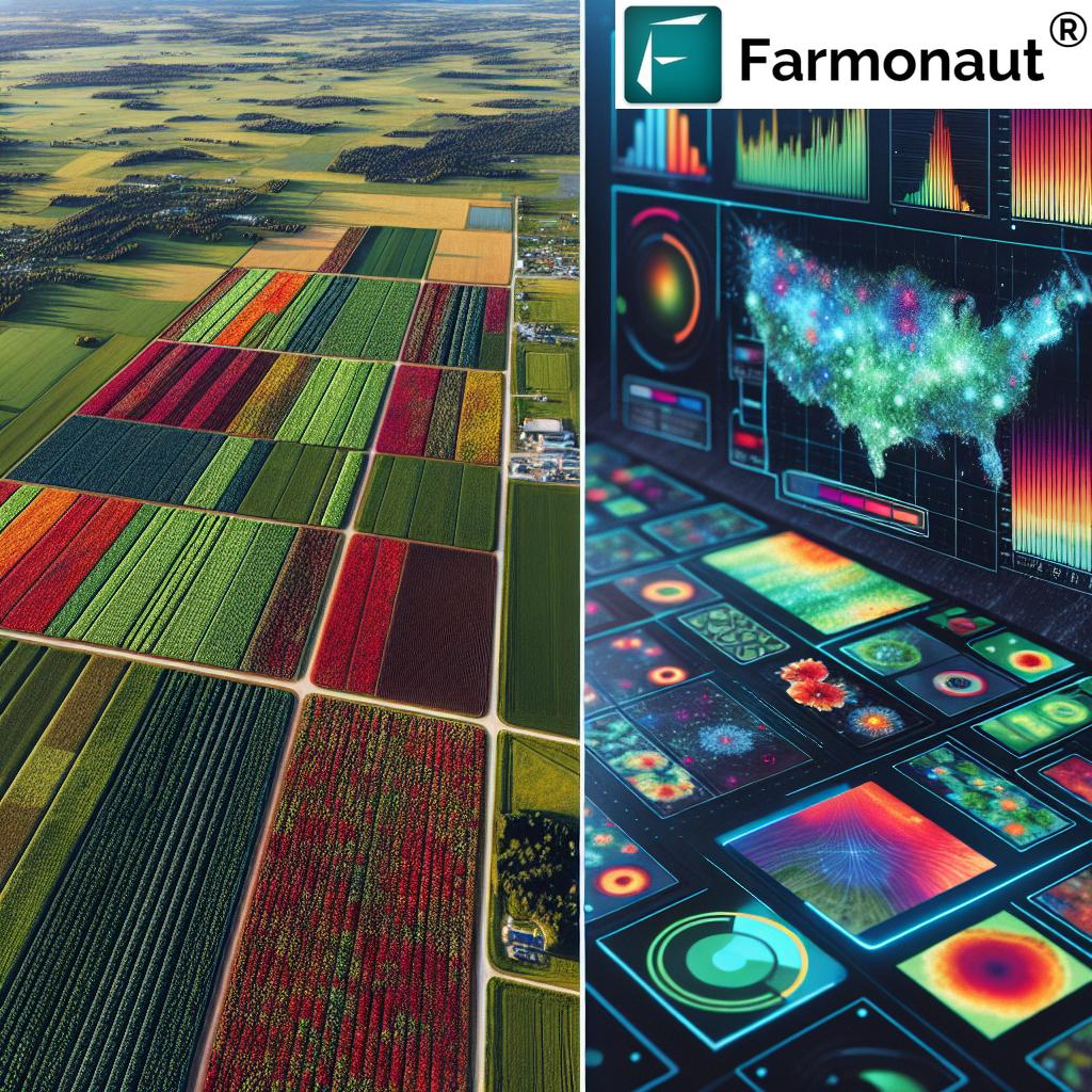
“The global commercial satellite imaging market is projected to grow at a CAGR of 13.78% from 2023 to 2030.”
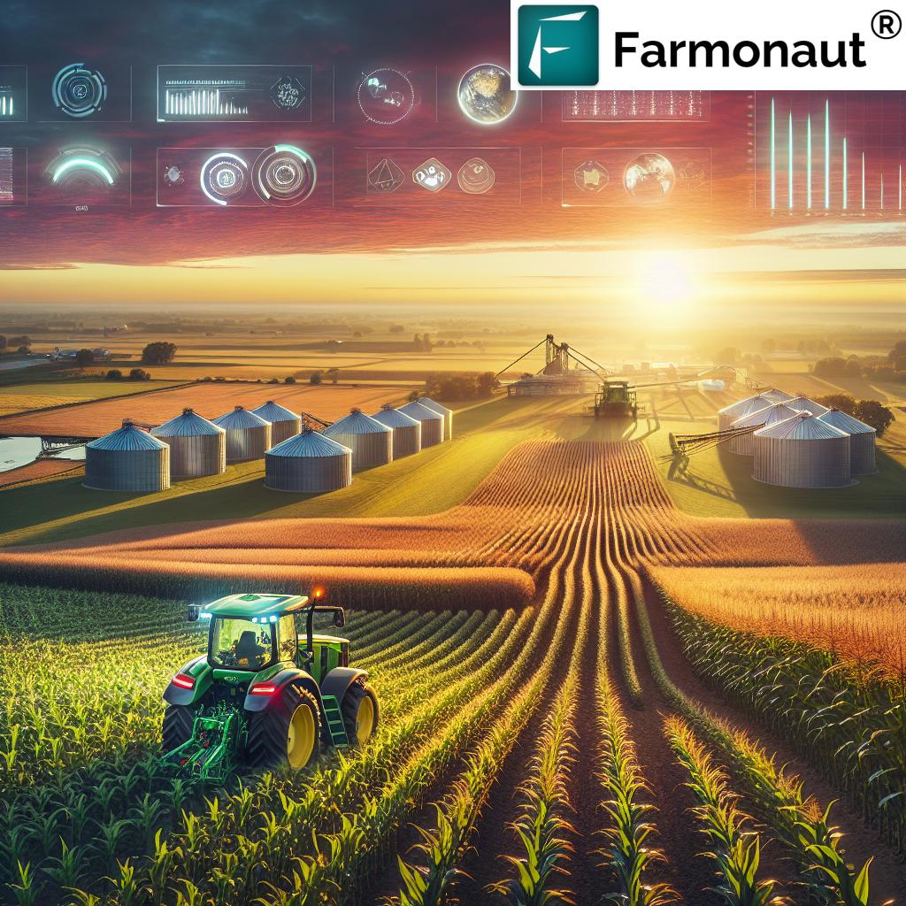
In the ever-evolving landscape of agriculture, a revolutionary transformation is underway. The integration of satellite imagery and artificial intelligence (AI) is reshaping the way we approach farming, particularly in North America. As we delve into this exciting frontier, we’ll explore how these cutting-edge technologies are driving precision farming to new heights, offering unprecedented insights and efficiency to farmers across the continent.
The Rise of Satellite Imagery in Agriculture
The global commercial satellite imaging market is experiencing remarkable growth, with projections indicating a compound annual growth rate (CAGR) of 13.78% from 2023 to 2030. This surge is driven by the increasing demand for accurate, real-time data across various sectors, with agriculture standing out as a prime beneficiary.
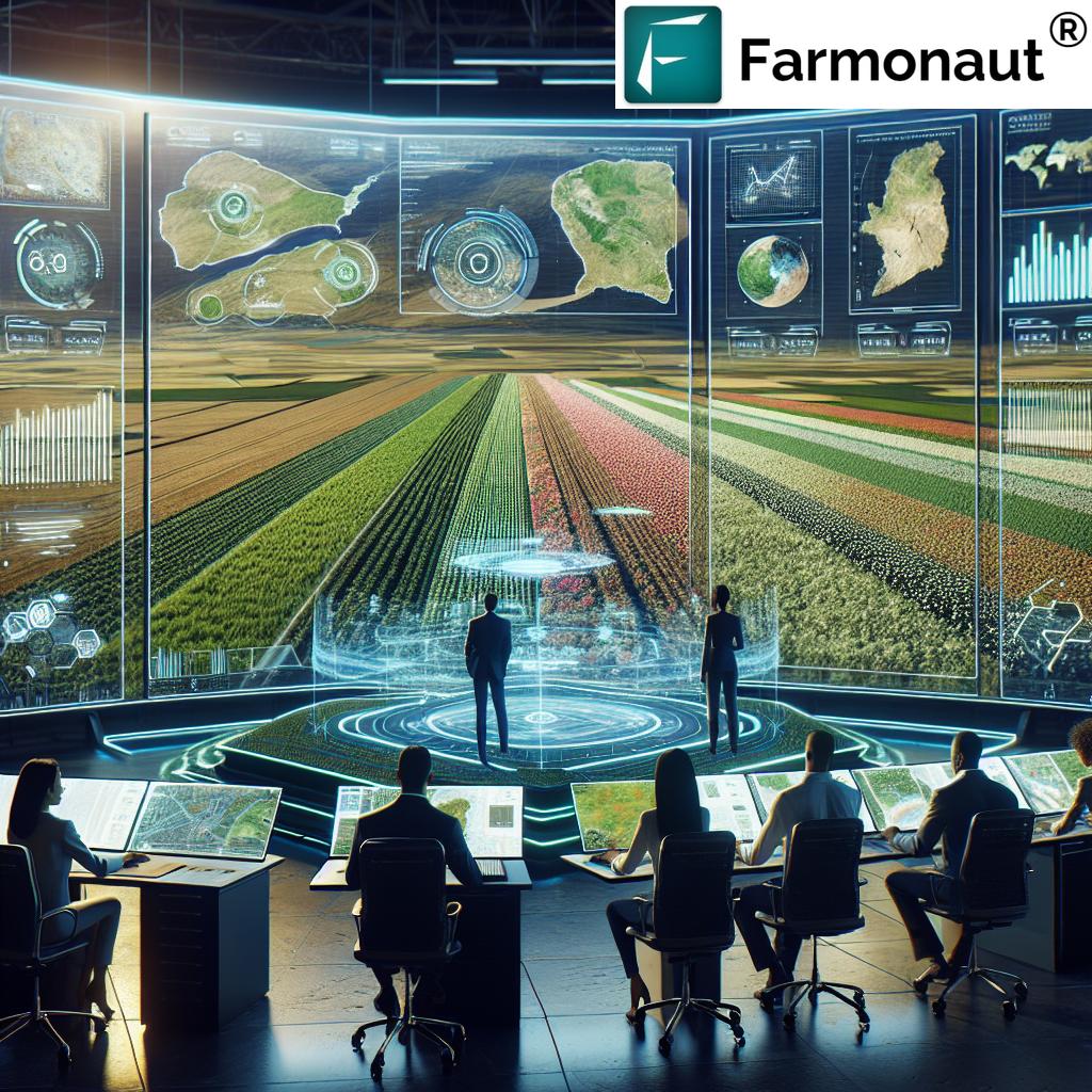
Satellite imagery for agriculture has become an indispensable tool for modern farmers. By leveraging high-resolution images captured from space, agricultural professionals can gain valuable insights into their crops’ health, soil conditions, and overall farm performance. This technology enables precise decision-making, optimizing resource allocation and maximizing yields.
Key Applications of Satellite Imagery in Agriculture:
- Crop health monitoring
- Soil moisture analysis
- Yield prediction
- Pest and disease detection
- Resource management
As the adoption of satellite-based solutions continues to grow, companies like Farmonaut are at the forefront, providing innovative platforms that make these technologies accessible to farmers of all scales.
The AI Revolution in Agricultural Data Analysis
The integration of AI in agricultural data analysis is transforming the way farmers interpret and act upon the vast amounts of information gathered through satellite imagery. Machine learning algorithms can process complex datasets at unprecedented speeds, identifying patterns and insights that would be impossible for human analysts to discern manually.
AI-powered systems can:
- Predict crop yields with remarkable accuracy
- Detect early signs of crop stress or disease
- Optimize irrigation schedules
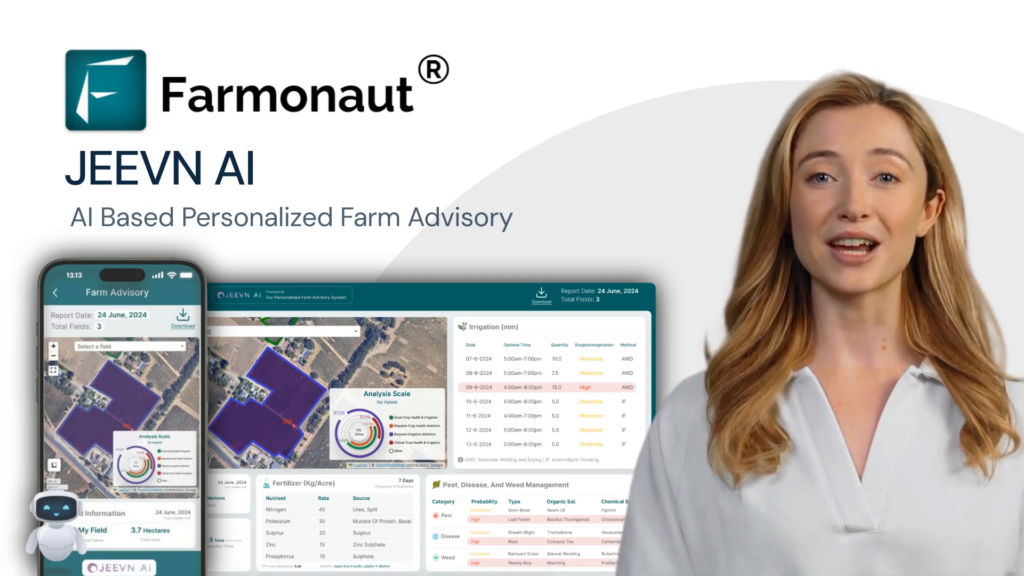
- Provide personalized recommendations for fertilizer application
These capabilities enable farmers to make data-driven decisions, reducing waste and improving overall farm productivity.
Remote Sensing: The Backbone of Precision Agriculture
Remote sensing in crop management has revolutionized the way we monitor and manage agricultural lands. By utilizing sensors mounted on satellites, aircraft, or drones, farmers can collect data on various aspects of their crops without physical contact. This non-invasive approach provides a comprehensive view of farm conditions, enabling precise interventions and resource allocation.
Benefits of Remote Sensing in Agriculture:
- Large-scale crop monitoring
- Early detection of plant stress
- Improved water management
- Accurate yield forecasting
- Enhanced decision-making for farm operations
Remote sensing technology, combined with AI-driven analysis, forms the cornerstone of precision agriculture, allowing farmers to tailor their practices to the specific needs of each field or even individual plants.
“North America leads in market share for commercial satellite imaging, with emerging markets showing significant growth potential.”
The Commercial Satellite Imaging Market: A Global Perspective
The commercial satellite imaging market is experiencing robust growth worldwide, with North America leading in market share. This dominance can be attributed to the region’s advanced technological infrastructure, significant investment in space technologies, and a strong agricultural sector that’s quick to adopt innovative solutions.
Key factors driving market growth include:
- Increasing demand for precision agriculture
- Growing need for natural resource management
- Rising focus on environmental monitoring
- Expanding applications in urban planning and development
As the market expands, we’re seeing a surge in the development of sophisticated geospatial technologies that cater specifically to the agricultural sector.
Explore Farmonaut’s API for advanced satellite data integration
Precision Agriculture Technology: A Game-Changer for Farmers
Precision agriculture technology is revolutionizing farming practices by enabling site-specific crop management. This approach allows farmers to apply the right amount of inputs (water, fertilizers, pesticides) at the right time and in the right place, maximizing efficiency and minimizing environmental impact.
Key Components of Precision Agriculture:
- GPS guidance systems for farm machinery
- Variable rate technology for input application
- Yield monitoring systems
- Automated irrigation systems
- Drone-based crop scouting
By leveraging these technologies, farmers can significantly improve their productivity while reducing costs and environmental footprint.
Satellite-Based Crop Health Monitoring: A New Era of Farm Management
Satellite-based crop health monitoring represents a significant leap forward in agricultural management. By analyzing multispectral imagery, farmers can assess various aspects of crop health, including:
- Vegetation indices (e.g., NDVI)
- Chlorophyll content
- Leaf area index
- Biomass estimation
This information allows for early detection of crop stress, diseases, or nutrient deficiencies, enabling timely interventions that can save entire harvests.
The Role of Agricultural Drone Technology
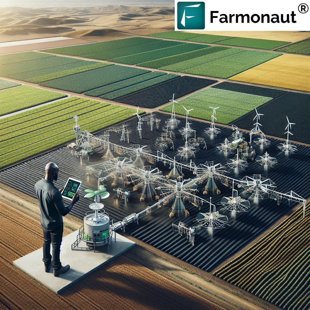
While satellites provide broad coverage, agricultural drone technology offers a complementary solution for high-resolution, on-demand imaging. Drones equipped with specialized cameras can capture detailed images of crops, providing farmers with insights at a granular level.
Applications of Agricultural Drones:
- Precise crop mapping
- Plant counting and stand assessment
- Targeted pesticide application
- Real-time crop monitoring during critical growth stages
The integration of drone technology with satellite imagery and AI-powered analysis creates a powerful toolkit for modern farmers, enabling unprecedented levels of precision in farm management.
| Application | Key Features | Benefits | Estimated Adoption Rate in North America (%) |
|---|---|---|---|
| Crop Health Monitoring | Multispectral imaging, vegetation indices | Early stress detection, optimized interventions | 65 |
| Yield Prediction | AI-driven analysis, historical data integration | Accurate forecasting, improved planning | 55 |
| Water Management | Soil moisture sensors, evapotranspiration modeling | Efficient irrigation, water conservation | 70 |
| Pest and Disease Detection | High-resolution imagery, pattern recognition | Targeted treatments, reduced pesticide use | 50 |
| Soil Analysis | Spectral reflectance analysis, GPS mapping | Precision fertilization, improved soil health | 60 |
Overcoming Challenges in the Commercial Satellite Imaging Market
Despite the tremendous potential, the commercial satellite imaging market faces several challenges:
- High initial costs for satellite launch and maintenance
- Regulatory hurdles and data privacy concerns
- Need for specialized skills in data interpretation
- Integration with existing farm management systems
Addressing these challenges requires collaboration between technology providers, policymakers, and agricultural stakeholders. Companies like Farmonaut are working to make satellite imaging solutions more accessible and user-friendly, bridging the gap between advanced technology and practical farm application.
The Future of Satellite Imagery and AI in Agriculture
As we look to the future, the integration of satellite imagery and AI in agriculture is poised to deepen further. We anticipate developments in:
- Hyperspectral imaging for more detailed crop analysis
- Advanced AI models for predictive analytics in farming
- Increased automation in farm operations based on satellite data
- Improved integration with IoT devices for comprehensive farm monitoring
These advancements will continue to drive the transformation of agriculture, making it more efficient, sustainable, and resilient in the face of climate change and growing global food demand.
Conclusion: Embracing the Agricultural Revolution
The integration of satellite imagery and AI in agriculture represents a paradigm shift in how we approach farming. As these technologies continue to evolve and become more accessible, they promise to revolutionize agriculture in North America and beyond. By embracing these innovations, farmers can improve their productivity, reduce environmental impact, and contribute to a more sustainable food system for future generations.
As we navigate this exciting frontier, platforms like Farmonaut are playing a crucial role in making advanced agricultural technologies accessible to farmers of all scales. By leveraging satellite imagery, remote sensing, and AI-driven insights, we’re not just transforming agriculture – we’re cultivating a smarter, more sustainable future for all.
Farmonaut Subscriptions
Frequently Asked Questions (FAQ)
- What is satellite imagery in agriculture?
Satellite imagery in agriculture refers to the use of images captured by satellites to monitor and analyze various aspects of farming, including crop health, soil conditions, and land use patterns. - How does AI contribute to agricultural data analysis?
AI processes vast amounts of satellite and sensor data to identify patterns, predict outcomes, and provide actionable insights for farmers, enabling more informed decision-making in crop management. - What are the main benefits of precision agriculture?
Precision agriculture allows for optimized resource use, increased crop yields, reduced environmental impact, and improved farm profitability through data-driven decision-making. - How are drones used in modern farming?
Drones are used for high-resolution crop imaging, precise application of inputs, plant counting, and real-time monitoring of field conditions, complementing satellite-based observations. - What challenges does the commercial satellite imaging market face?
Key challenges include high initial costs, regulatory hurdles, data privacy concerns, and the need for specialized skills in data interpretation and integration with existing farm systems.
Explore Farmonaut’s API Developer Documentation for in-depth integration guidance
