Revolutionizing Northern Australia’s Fire Management: Satellite Technology Meets Indigenous Wisdom
“North Australia’s NAFI website uses satellite data to map fires in real-time across 1.5 million square kilometers of savanna.”
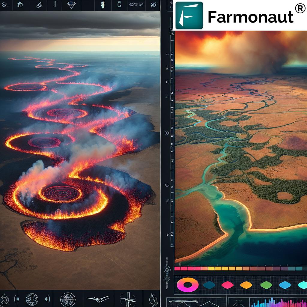
In the vast expanse of Northern Australia, a groundbreaking approach to fire management is taking shape, blending cutting-edge satellite technology with ancient Indigenous wisdom. We’re witnessing a revolution in how we understand and manage one of the world’s most fire-prone landscapes, and at the heart of this transformation lies an innovative practice known as “painting” the landscape with fire.
The Fusion of Traditional Knowledge and Modern Science
For thousands of years, Indigenous Australians have used fire as a tool to manage the land. Today, this traditional knowledge is being combined with satellite fire management techniques to create a sustainable and highly effective approach to wildfire prevention. From April to June each year, carefully managed “cool” burns are conducted across the savanna regions of Northern Australia. These burns serve a crucial purpose: reducing fuel loads and mitigating the risk of catastrophic bushfires later in the dry season.

The integration of satellite technology into this process has been a game-changer. The North Australian Fire Information (NAFI) website, powered by space technology, provides real-time fire maps and burnt area information. This crucial data enables effective remote landscape monitoring, allowing fire managers to make informed decisions based on up-to-the-minute information.
The Science Behind Satellite Fire Management
Remote sensing in agriculture has revolutionized our ability to monitor and manage vast areas of land. In the context of fire management, satellite imagery provides an unprecedented view of the landscape, allowing us to track active fires, assess fuel loads, and plan controlled burns with precision.
At Farmonaut, we understand the power of satellite technology in agriculture. Our platform leverages multispectral satellite imagery to monitor crop health, providing farmers with vital insights into vegetation health, soil moisture levels, and other critical metrics. While our focus is on crop management, the principles behind our technology align closely with those used in fire management.
The North Australian Fire Information (NAFI) Website: A Technological Marvel
The NAFI website, established in 2003, represents a significant milestone in the integration of satellite technology with fire management practices. This platform provides daily updated maps of active fires and recently burnt areas across Northern Australia. The impact of this tool on fire management strategies has been profound, enabling a level of planning, implementation, and reporting that was previously unattainable.
Climate-Smart Agriculture and Carbon Credits
The innovative fire management practices in Northern Australia go beyond just preventing wildfires. They also contribute to climate-smart agriculture initiatives and generate income through savanna burning carbon credits. By carefully managing the timing and intensity of burns, fire managers can reduce overall greenhouse gas emissions from wildfires and sequester carbon in the landscape.
“Controlled ‘cool’ burns from April to June reduce fuel loads by up to 50%, mitigating catastrophic bushfire risks.”
This approach aligns with global efforts to combat climate change and provides economic incentives for sustainable land management practices. The data provided by NAFI plays a crucial role in calculating these carbon credits, further demonstrating the value of satellite technology in modern environmental management.
Indigenous Fire Management Techniques: A Wealth of Knowledge
At the core of Northern Australia’s fire management revolution is the deep well of Indigenous knowledge. Traditional fire management techniques, honed over millennia, form the foundation upon which modern practices are built. These techniques include:
- Understanding the seasonal rhythms of the land
- Recognizing different vegetation types and their fire responses
- Using fire to promote biodiversity and maintain ecosystem health
- Creating firebreaks and mosaics in the landscape
By integrating these traditional practices with satellite data and modern fire science, we’re creating a more holistic and effective approach to fire management.
The Role of Park Rangers and Pastoralists
While technology plays a crucial role, the on-ground expertise of park rangers and pastoralists remains invaluable. These land managers bring a deep understanding of local conditions and the practical skills needed to implement fire management strategies effectively. The combination of their knowledge with satellite data creates a powerful synergy, enabling more precise and effective fire management practices.

Fire Mapping with Satellites: A Closer Look
The process of fire mapping with satellites involves sophisticated remote sensing technologies. Satellites equipped with thermal sensors can detect active fires, while multispectral imagery allows for the assessment of burnt areas and vegetation recovery. This data is processed and interpreted to create the detailed fire maps that are so crucial to modern fire management strategies.
At Farmonaut, we use similar technologies for crop monitoring. Our satellite-based API provides valuable data on vegetation health, which can be applied to various agricultural contexts. While our focus is on crop management, the underlying principles of remote sensing are similar to those used in fire mapping.
The Impact on Fire Ecology and Management
The integration of satellite technology with traditional fire management practices has had a profound impact on fire ecology in Northern Australia. By enabling more precise and timely interventions, this approach has:
- Reduced the frequency and intensity of late-season wildfires
- Improved habitat management for native flora and fauna
- Enhanced carbon sequestration in the landscape
- Provided economic opportunities through carbon credit schemes
These outcomes demonstrate the potential of technology to enhance our stewardship of the land while respecting and incorporating traditional knowledge.
Challenges and Future Directions
While the integration of satellite technology with traditional fire management practices has been largely successful, challenges remain. These include:
- Ensuring continued funding for satellite monitoring programs
- Bridging the digital divide in remote communities
- Adapting fire management strategies to a changing climate
- Maintaining and expanding the knowledge base of traditional fire management practices
Addressing these challenges will be crucial for the continued success and expansion of this innovative approach to fire management.
The Global Implications
The success of Northern Australia’s fire management approach has garnered international attention. There is growing interest in adapting this model to other fire-prone regions around the world. The combination of traditional knowledge, on-ground expertise, and satellite technology offers a powerful template for sustainable landscape management in the face of climate change.
Farmonaut’s Role in Agricultural Innovation
While Farmonaut’s primary focus is on agricultural applications, our work in remote sensing and GIS technology aligns closely with the innovative approaches used in fire management. Our platform provides farmers with valuable insights for crop management, using many of the same underlying technologies that power fire mapping satellites.
By leveraging satellite data, we’re helping to revolutionize agricultural practices, much as NAFI has revolutionized fire management. Our API developer documentation provides insights into how this technology can be applied in various contexts.
Comparison: Traditional vs. Satellite-Enhanced Fire Management
| Aspect | Traditional Method | Satellite-Enhanced Method | Benefits of Integration |
|---|---|---|---|
| Burn Timing | Based on local knowledge and observations | Informed by real-time satellite data | More precise timing, reducing risks |
| Area Coverage | Limited by manpower and accessibility | Comprehensive view of vast areas | Improved management of large landscapes |
| Fuel Load Assessment | Visual inspection and local knowledge | Satellite imagery analysis | More accurate and timely assessments |
| Real-time Monitoring | Limited to observable areas | Continuous monitoring of entire regions | Rapid response to developing situations |
| Data Accessibility | Localized knowledge | Widely accessible digital information | Improved collaboration and decision-making |
| Carbon Credit Potential | Limited quantification | Precise measurement and reporting | Economic incentives for sustainable practices |
The Future of Fire Management in Northern Australia
As we look to the future, the integration of satellite technology with traditional fire management practices in Northern Australia continues to evolve. Ongoing research and development are focused on:
- Improving the resolution and frequency of satellite imagery
- Developing more sophisticated AI and machine learning algorithms for fire prediction
- Enhancing community engagement and knowledge sharing platforms
- Expanding the application of these techniques to other regions and ecosystems
These advancements promise to further refine our approach to fire management, leading to even more effective and sustainable practices.
Conclusion: A Model for Sustainable Land Management
The revolution in Northern Australia’s fire management practices stands as a shining example of how traditional wisdom and cutting-edge technology can be combined to address complex environmental challenges. By leveraging satellite fire management techniques alongside Indigenous knowledge, we’re not only mitigating the risk of catastrophic wildfires but also promoting biodiversity, sequestering carbon, and creating economic opportunities for remote communities.
This approach demonstrates the power of integrating diverse knowledge systems and highlights the crucial role that technology can play in environmental stewardship. As we face the challenges of climate change and increasing environmental pressures, the lessons learned from Northern Australia’s fire management revolution offer valuable insights for sustainable land management practices worldwide.
FAQs
- How does satellite technology improve fire management in Northern Australia?
Satellite technology provides real-time fire mapping, allows for comprehensive monitoring of vast areas, and enables more accurate fuel load assessments, leading to more effective fire prevention and management strategies. - What are “cool” burns, and why are they important?
“Cool” burns are controlled, low-intensity fires conducted during cooler months (April to June) to reduce fuel loads. They’re crucial for preventing more severe wildfires during the hotter, drier season. - How do Indigenous fire management techniques contribute to modern practices?
Indigenous techniques provide invaluable knowledge about seasonal rhythms, vegetation responses to fire, and sustainable land management practices. This traditional wisdom forms the foundation for modern fire management strategies. - What is the North Australian Fire Information (NAFI) website?
NAFI is a platform that provides daily updated maps of active fires and recently burnt areas across Northern Australia, using satellite data to support fire management planning and implementation. - How does fire management in Northern Australia contribute to climate change mitigation?
By reducing the frequency and intensity of wildfires, this approach decreases overall greenhouse gas emissions. It also generates carbon credits through savanna burning projects, incentivizing sustainable land management practices.


