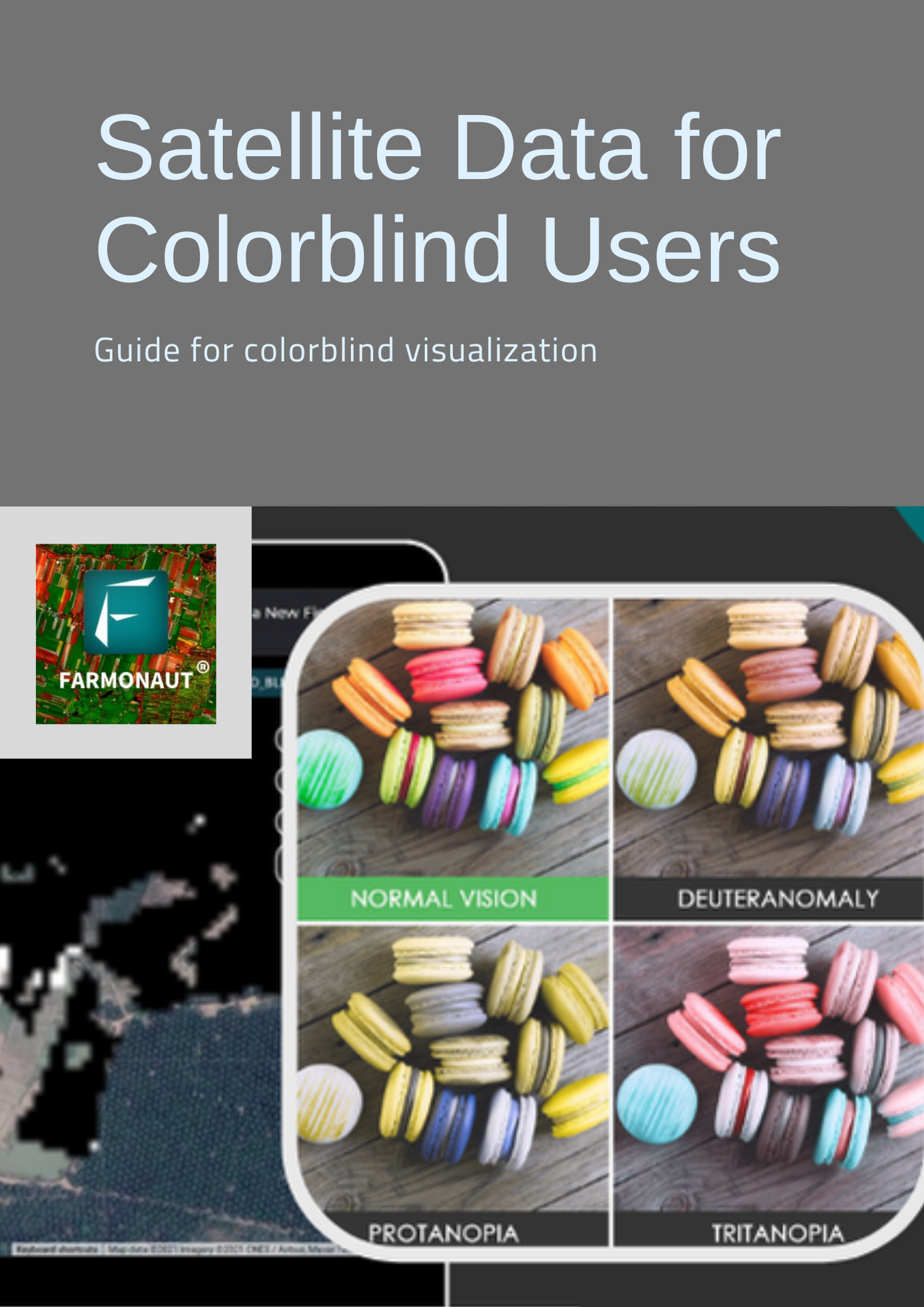
There are less number of people having color blindness who deal with identification of colors on a daily basis. There are multiple kinds of color blindness like Red-Green Colorblindness, Blue-Yellow Colorblindness, Complete color blindness, etc. Where they have issues in differentiating colors such as red and green or in some cases even all the colors. Even some farmers do have color blindness. For which they cannot be neglected for the services we provide.
Problem faced:
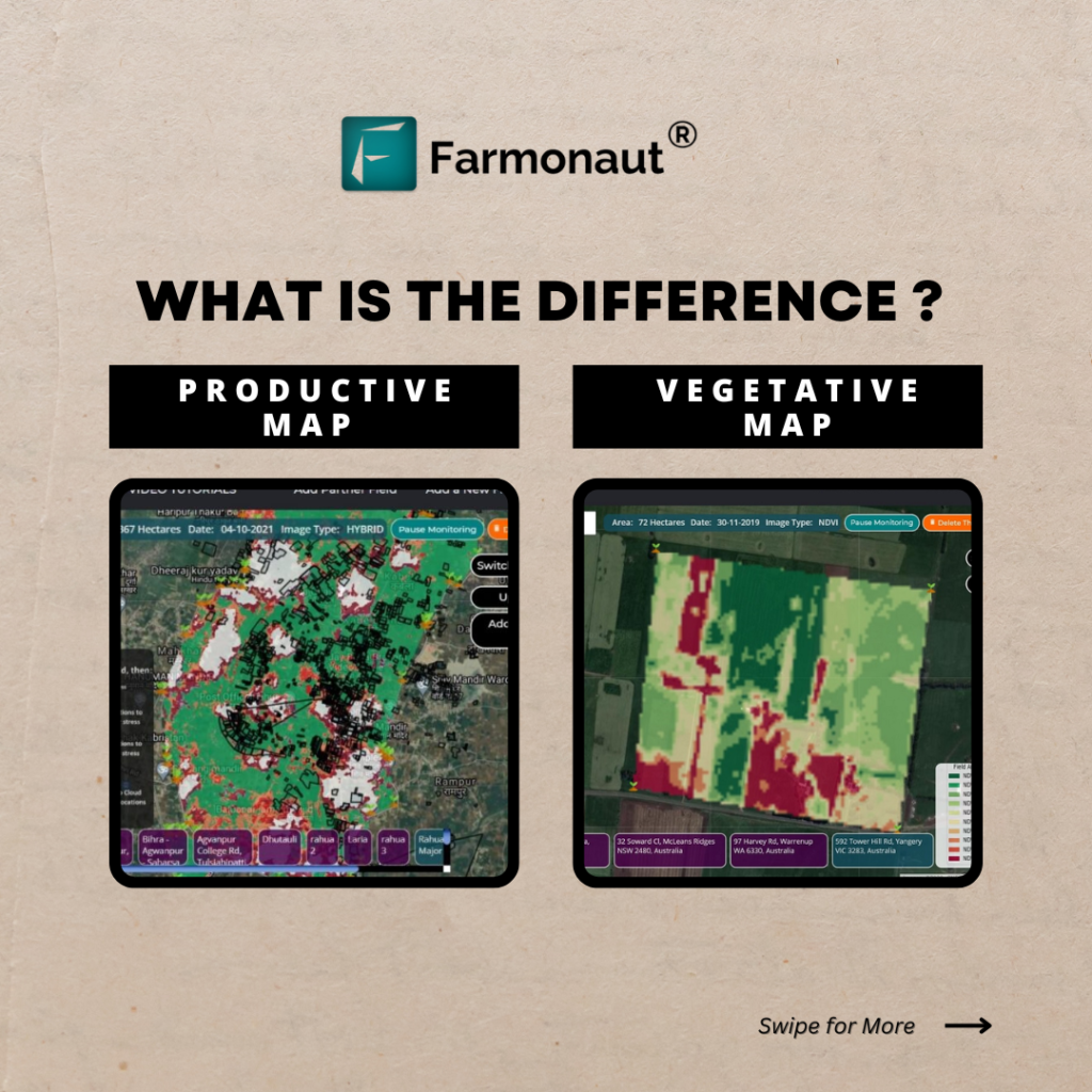
Colourblind people face challenges in identifying multiple colors. Due to various kinds of colorblindness one may or may not be able to differentiate between different colors. However, Color coded images are easy to interpret and understand, they’re not of much use to colorblind farmers.
Farmers having color blindness would face difficulty in interpretation of coloured satellite images. To provide a solution to this problem, Farmonaut has developed the Colourblind Visualization feature.
Colorblind Visualization
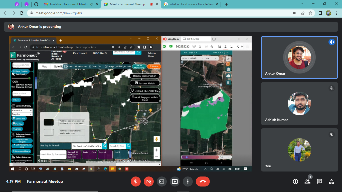
Farmonaut has taken into account the colorblind farmers as well and developed colorblind visualization. The satellite image for a coloublind farmer would be in black and white color contrast because all types of colorblind people can at least differentiate black and white colors. The analysis of which would be much easier for them. Hence, the color coded images of crop health and irrigation are converted to black and white images without compromising on the depth and quality of images. This feature is available on Android apps as well as on the Web. 

Receive and Analyze the Colorblind Visualization
Step 1: Login to your account on Farmonaut Application.
Step 2: Select the field you want to see data for. As a default it will show a color coded image.
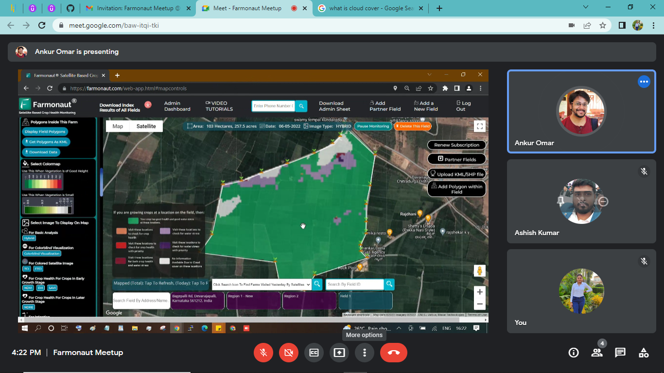
Step 3: Click on the Colorblind Visualization button, it will display the black and white coded image. 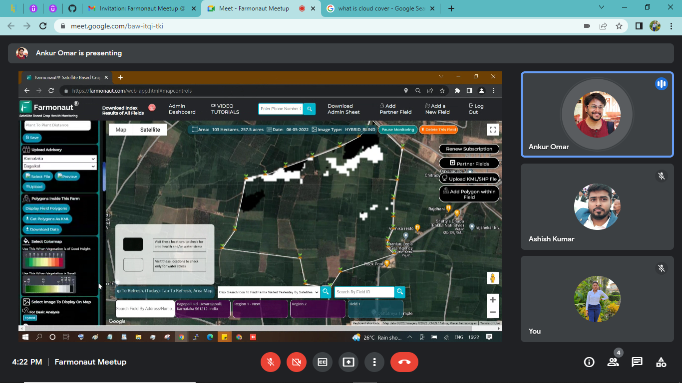
Step 4: Interpret the image using the analysis scale provided. Note: Cloud cover areas would be displayed in black as well so that farmers can look after those areas too.
The analysis scale is represented as follows:
- Black: the area requires a visit to the farm to check the crop health or irrigation issues.
- White: area has the irrigation issues only
- No color: the area is in good condition
