The Revolution of GeoAI in Precision Agriculture: How Farmonaut is Reshaping Agricultural Intelligence
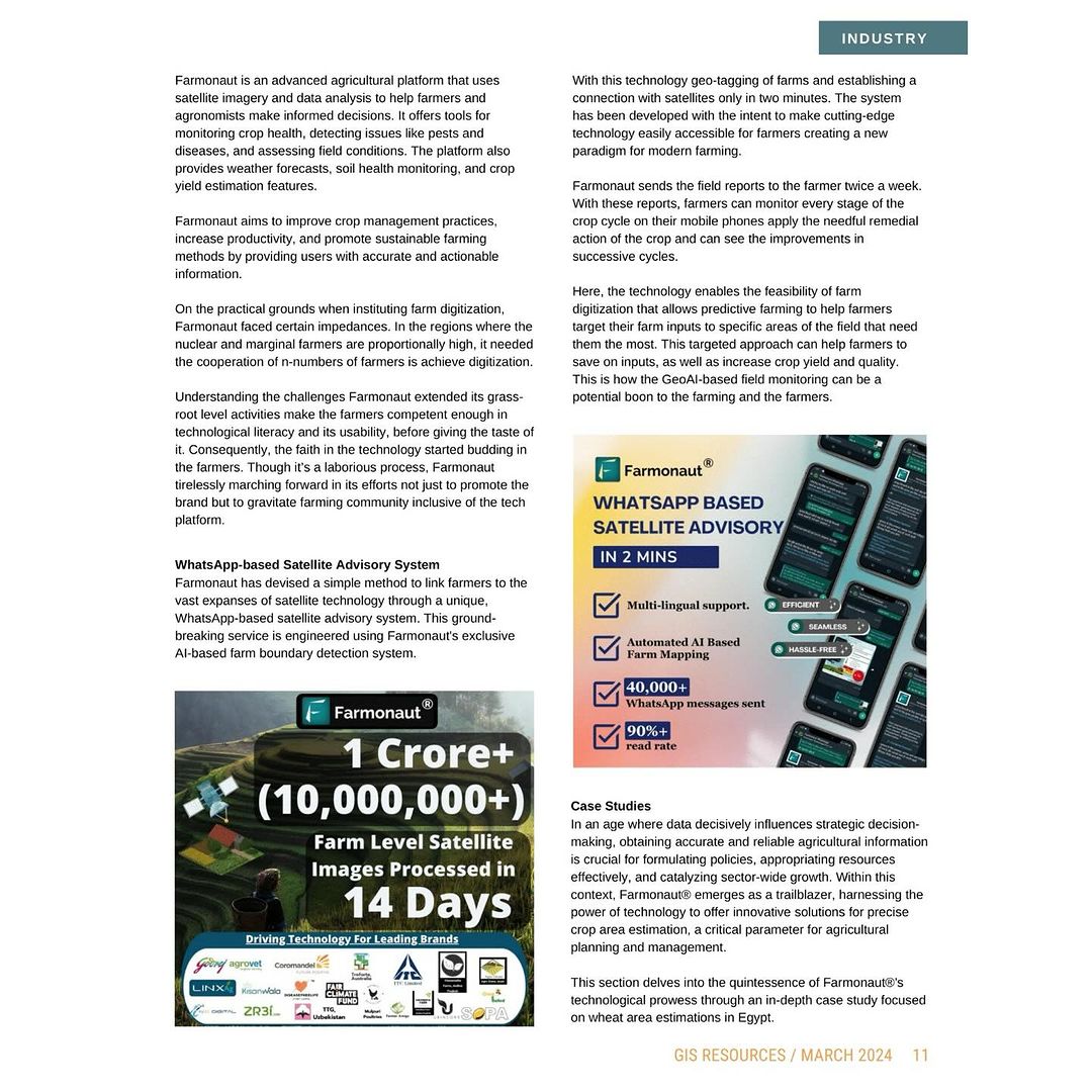
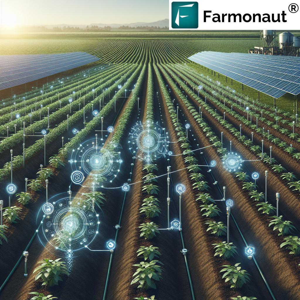
In the ever-evolving landscape of technological advancements, the fusion of Geographical Information Systems (GIS) and Artificial Intelligence (AI) has given birth to an extraordinary innovation known as GeoAI. At Farmonaut®, we pride ourselves on being at the forefront of this groundbreaking integration, harnessing the power of GeoAI to unlock real-time insights in data-driven farming analysis.
The Dawn of GeoAI in Agriculture
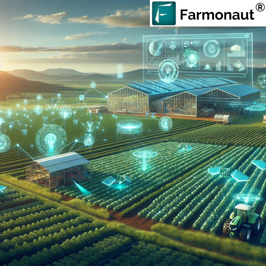
The agricultural sector is witnessing a paradigm shift with the introduction of GeoAI. This revolutionary technology combines the spatial analysis capabilities of GIS with the predictive power of AI, creating a synergy that is transforming the way we approach farming. As pioneers in this field, we at Farmonaut® are leveraging GeoAI to provide farmers and agribusinesses with unprecedented levels of insight and decision-making support.
Understanding GeoAI: The Fusion of GIS and AI
GeoAI represents the convergence of two powerful technologies:
- Geographical Information Systems (GIS): These systems capture, store, analyze, and present spatial or geographic data.
- Artificial Intelligence (AI): This technology enables machines to learn from experience, adjust to new inputs, and perform human-like tasks.
When combined, GIS and AI create a powerful tool that can analyze complex spatial patterns, predict future trends, and provide actionable insights in real-time. This is particularly valuable in agriculture, where spatial and temporal factors play crucial roles in crop management and decision-making.
Farmonaut®: Pioneering GeoAI in Precision Agriculture
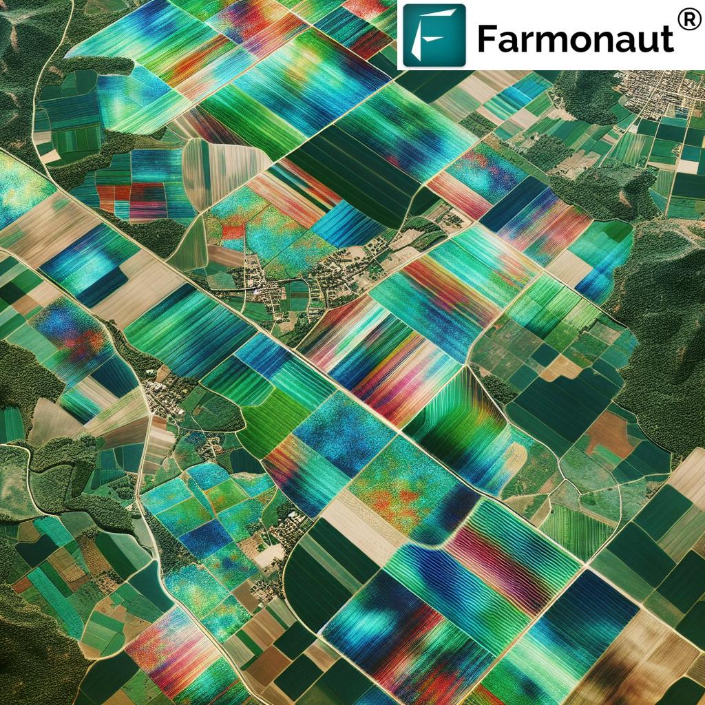
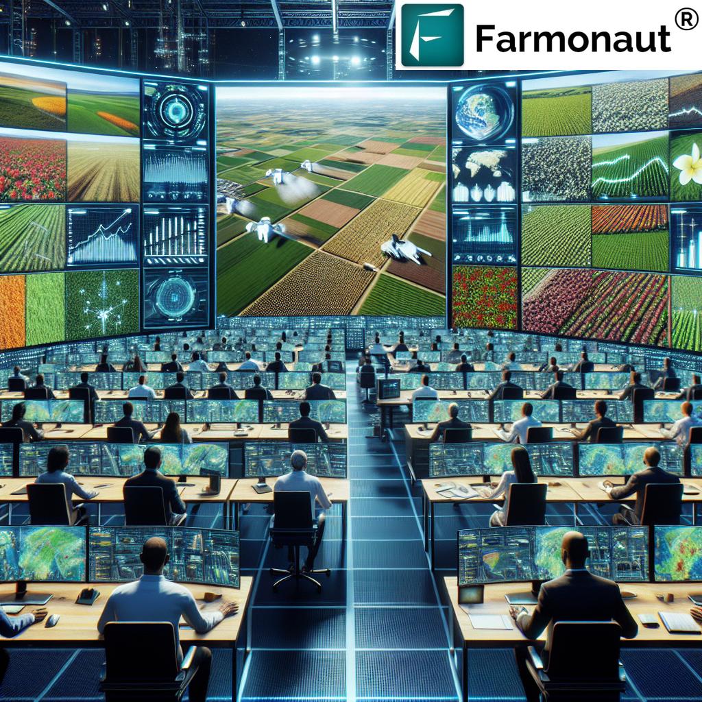
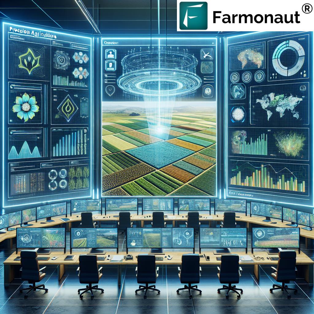
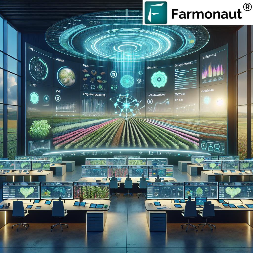
At Farmonaut®, we have developed a cutting-edge platform that harnesses the full potential of GeoAI for precision agriculture. Our system integrates satellite imagery, weather data, soil information, and historical crop performance to provide farmers with a comprehensive view of their fields.
Key Features of Farmonaut®’s GeoAI Platform:
- Real-time Crop Monitoring: Our satellite-based system provides up-to-date information on crop health, allowing farmers to identify issues before they become visible to the naked eye.
- Predictive Analytics: By analyzing historical data and current conditions, our AI algorithms can predict potential crop yields, pest outbreaks, and optimal harvesting times.
- Precision Resource Management: Our platform offers tailored recommendations for irrigation, fertilization, and pest control, ensuring optimal resource utilization.
- Climate Change Adaptation: We help farmers adapt to changing climate patterns by providing long-term forecasts and suggesting suitable crop varieties.
The Impact of GeoAI on Precision Agriculture
The integration of GeoAI in precision agriculture is revolutionizing farming practices in several ways:
- Increased Efficiency: By providing precise, field-specific information, GeoAI helps farmers optimize their operations, reducing waste and improving productivity.
- Enhanced Sustainability: Targeted application of resources like water and fertilizers minimizes environmental impact and promotes sustainable farming practices.
- Improved Decision Making: Access to real-time data and predictive analytics empowers farmers to make informed decisions quickly and confidently.
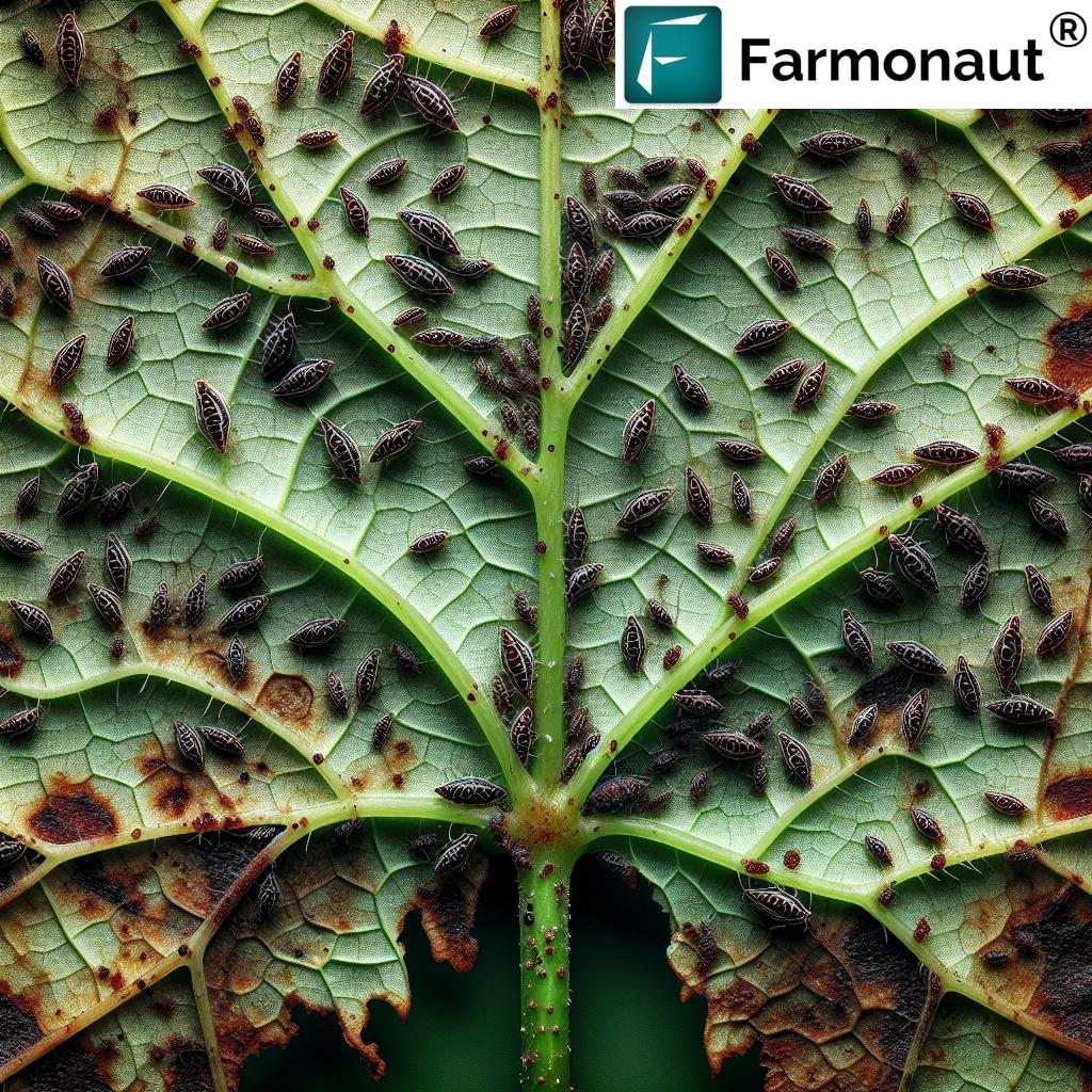
- Risk Mitigation: Early detection of potential issues like pest infestations or nutrient deficiencies allows for proactive management, reducing crop losses.
Farmonaut®’s Approach to GeoAI-Guided Precision Farming
Our innovative approach at Farmonaut® combines advanced satellite technology with sophisticated AI algorithms to provide comprehensive farm management solutions. Here’s how we’re applying GeoAI to reshape agricultural intelligence:
1. Satellite-Based Crop Health Monitoring
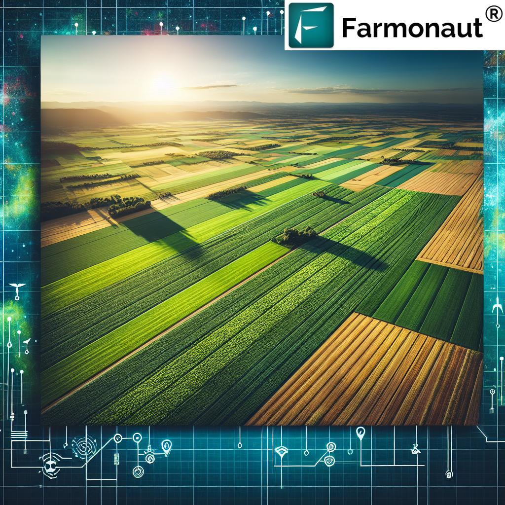
We utilize high-resolution multispectral satellite imagery to monitor crop health with unprecedented accuracy. Our system analyzes various vegetation indices, including:
- Normalized Difference Vegetation Index (NDVI)
- Enhanced Vegetation Index (EVI)
- Soil-Adjusted Vegetation Index (SAVI)
- Normalized Difference Red Edge (NDRE)
- Visible Atmospherically Resistant Index (VARI)
- Structure Insensitive Pigment Index (SIPI)
- Leaf Chlorophyll Index
These indices provide valuable insights into crop health, stress levels, and potential yield, allowing farmers to take timely action.
2. AI-Powered Advisory System
Our proprietary AI system, Jeevn AI, analyzes satellite data along with other inputs such as weather forecasts, soil data, and historical crop performance to generate personalized recommendations for farmers. This system helps optimize:
- Irrigation schedules
- Fertilizer application
- Pest and disease management
- Harvesting timing
3. Blockchain-Based Traceability
We’ve integrated blockchain technology to ensure transparency and traceability in the agricultural supply chain. This feature is particularly valuable for:
- Verifying the origin of agricultural products
- Ensuring compliance with organic farming standards
- Building consumer trust through transparent supply chains
4. Resource Management and Sustainability
Our GeoAI platform goes beyond crop monitoring to help farmers manage their resources more efficiently:
- Fleet management for optimizing agricultural machinery use
- Carbon footprint tracking to promote sustainable farming practices
- Water resource management to improve irrigation efficiency
Farmonaut® vs. Traditional Monitoring Methods
To illustrate the advantages of our satellite-based system over conventional monitoring methods, we’ve prepared a comparison table:
| Feature | Farmonaut® Satellite System | Drone-based Monitoring | IoT-based Monitoring |
|---|---|---|---|
| Coverage Area | Large scale (thousands of hectares) | Limited (few hundred hectares) | Limited to sensor placement |
| Frequency of Data Collection | Daily to weekly | On-demand (weather dependent) | Continuous but localized |
| Initial Setup Cost | Low | High (drone purchase) | High (sensor network installation) |
| Operational Complexity | Low (automated) | High (requires trained pilot) | Medium (maintenance required) |
| Data Processing | Automated with AI | Manual or semi-automated | Automated but limited scope |
| Scalability | Highly scalable | Limited by equipment and manpower | Limited by sensor network |
Case Studies: GeoAI in Action
Wheat Area Estimation in Egypt
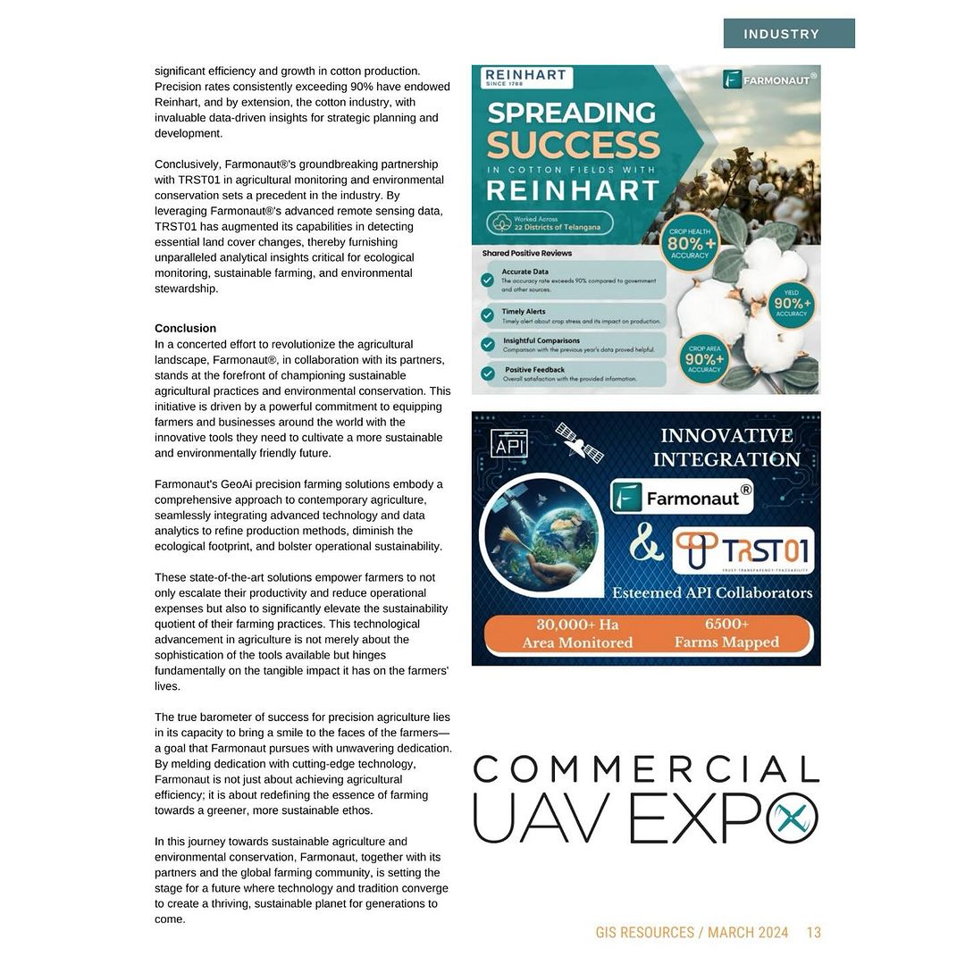
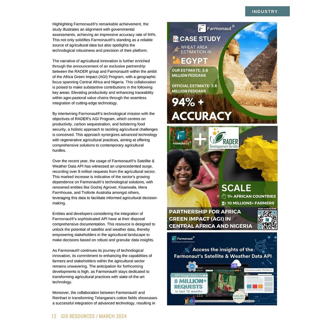
One of our most notable achievements has been in the field of crop area estimation. In a recent case study focused on wheat area estimations in Egypt, Farmonaut® demonstrated an impressive 94% accuracy rate when compared to governmental assessments. This high level of precision underscores the reliability and effectiveness of our GeoAI technology in providing crucial agricultural data.
Transforming Cotton Fields in Telangana
Our collaboration with Reinhart in Telangana’s cotton fields showcases the practical applications of our GeoAI technology. By integrating our advanced satellite monitoring system, we’ve helped achieve:
- Precision rates consistently exceeding 90%
- Significant improvements in cotton production efficiency
- Valuable data-driven insights for strategic planning in the cotton industry
Partnership for Africa Green Impact (AGI)
We’re excited about our exclusive partnership with the RADER group for the Africa Green Impact (AGI) Program. This collaboration, focusing on Central Africa and Nigeria, aims to:
- Elevate productivity in agro-pastoral value chains
- Enhance traceability through cutting-edge technology
- Promote regenerative agricultural practices
- Contribute to carbon sequestration and food security
The Future of GeoAI in Agriculture
As we look to the future, we at Farmonaut® are committed to pushing the boundaries of what’s possible with GeoAI in agriculture. Some exciting developments on the horizon include:
- Enhanced AI Models: We’re continuously refining our AI algorithms to provide even more accurate predictions and recommendations.
- Integration with IoT Devices: While our satellite-based system offers numerous advantages, we’re exploring ways to integrate data from IoT devices for even more comprehensive insights.
- Expanded Crop Coverage: We’re working on expanding our system to support an even wider range of crops and agricultural practices.
- Climate Change Adaptation Tools: Developing more advanced tools to help farmers adapt to and mitigate the effects of climate change.
How to Get Started with Farmonaut®
Ready to revolutionize your farming practices with GeoAI? Here’s how you can get started with Farmonaut®:
- Web Application: Access our platform through our web application. Try Farmonaut Web App
- Mobile Apps: Download our mobile apps for on-the-go access:
- API Access: For developers and businesses looking to integrate our data into their systems, check out our Satellite & Weather Data API. Comprehensive documentation is available here.
Subscribe to Farmonaut®
Ready to transform your agricultural practices with the power of GeoAI? Subscribe to Farmonaut® today:
Frequently Asked Questions (FAQ)
Q1: What is GeoAI and how does it benefit agriculture?
A1: GeoAI is the integration of Geographic Information Systems (GIS) and Artificial Intelligence (AI). In agriculture, it provides real-time insights into crop health, soil conditions, and weather patterns, enabling farmers to make data-driven decisions for optimized crop management and increased yields.
Q2: How accurate is Farmonaut®’s satellite-based crop monitoring?
A2: Our system has demonstrated high accuracy rates, with recent case studies showing up to 94% alignment with governmental assessments in crop area estimation. For specific crop health monitoring, our accuracy typically exceeds 90%.
Q3: Can Farmonaut® be used for all types of crops?
A3: While we support a wide range of crops, our system is continuously expanding. Currently, we provide comprehensive monitoring for major grain crops, fruits, vegetables, and cash crops. Contact us for specific crop inquiries.
Q4: How often is satellite data updated in the Farmonaut® system?
A4: Our satellite data is typically updated every 3-5 days, depending on the satellite constellation and weather conditions. This frequency ensures that farmers have access to near-real-time information about their fields.
Q5: Is Farmonaut® suitable for small-scale farmers?
A5: Absolutely! We’ve designed our platform to be accessible and affordable for farmers of all scales. Our tiered pricing model ensures that small-scale farmers can benefit from advanced GeoAI technology without significant investment.
Q6: How does Farmonaut®’s blockchain traceability work?
A6: Our blockchain traceability system records key data points throughout the agricultural supply chain. This creates an immutable record of a product’s journey from farm to consumer, ensuring transparency and building trust in the origin and quality of agricultural products.
Q7: Can Farmonaut® help with climate change adaptation?
A7: Yes, our platform includes features specifically designed to aid in climate change adaptation. We provide long-term weather forecasts, suggest climate-resilient crop varieties, and offer strategies to mitigate the impacts of changing weather patterns on agriculture.
Q8: How does Farmonaut® compare to drone-based monitoring?
A8: While drones offer high-resolution imagery, Farmonaut®’s satellite-based system provides broader coverage, more frequent updates, and is more cost-effective for large-scale monitoring. Our system also integrates AI for automated analysis, reducing the need for manual data processing.
Q9: Is technical expertise required to use Farmonaut®?
A9: No, we’ve designed our platform to be user-friendly and intuitive. While it leverages complex technologies, the interface is straightforward, providing clear insights and recommendations without requiring technical expertise from the user.
Q10: How can I integrate Farmonaut®’s data into my existing farm management systems?
A10: We offer API access that allows for seamless integration with other farm management tools. Our developer documentation provides comprehensive guidance on how to incorporate our data into existing systems.
Conclusion
The integration of GeoAI in precision agriculture represents a significant leap forward in our ability to manage farms efficiently and sustainably. At Farmonaut®, we’re proud to be at the forefront of this technological revolution, providing farmers and agribusinesses with the tools they need to thrive in an increasingly complex agricultural landscape.
By harnessing the power of satellite technology, artificial intelligence, and blockchain, we’re not just improving farm productivity – we’re contributing to global food security, promoting sustainable farming practices, and helping the agricultural sector adapt to the challenges of climate change.
As we continue to innovate and expand our capabilities, we invite you to join us on this exciting journey. Whether you’re a small-scale farmer looking to optimize your operations, or a large agribusiness seeking comprehensive data analytics, Farmonaut® has the solutions to meet your needs.
Together, let’s cultivate a future where agriculture is more efficient, sustainable, and resilient. Explore Farmonaut® today and experience the power of GeoAI in transforming your agricultural practices.
